Mill Creek Blue Loop
Total Miles
25.9
Technical Rating
Best Time
Spring, Summer, Fall, Winter
Trail Type
60" Trail
Accessible By
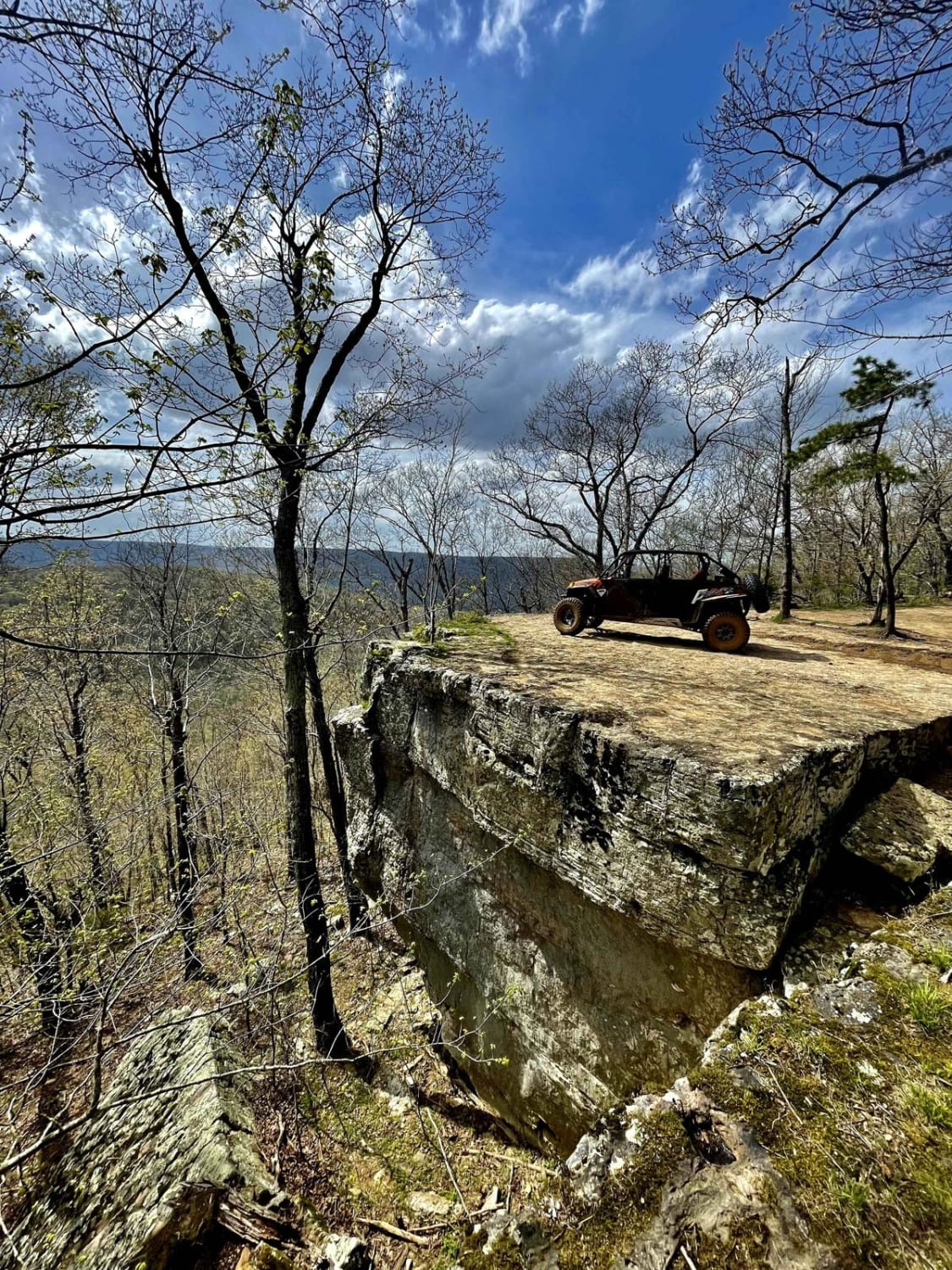
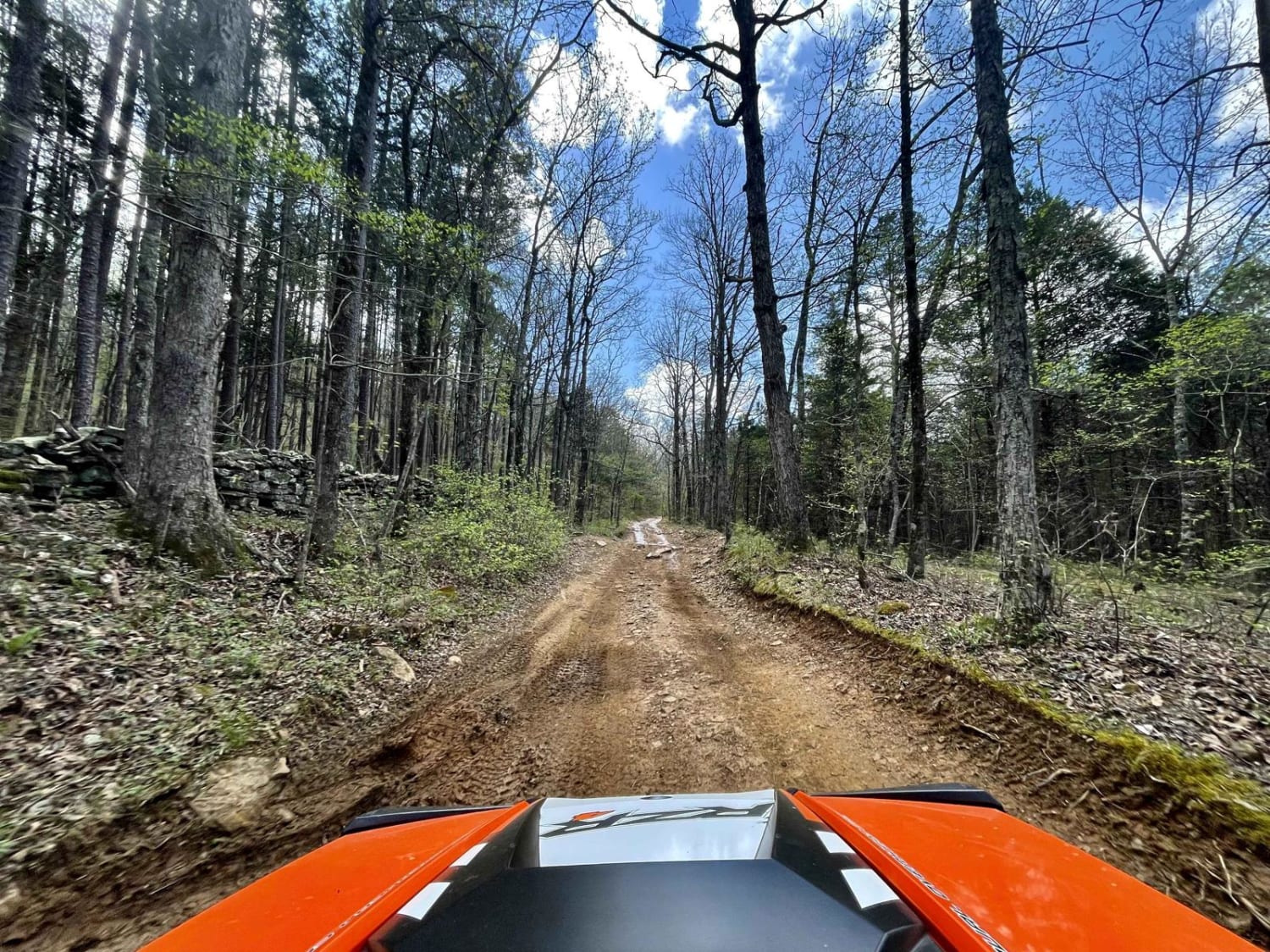
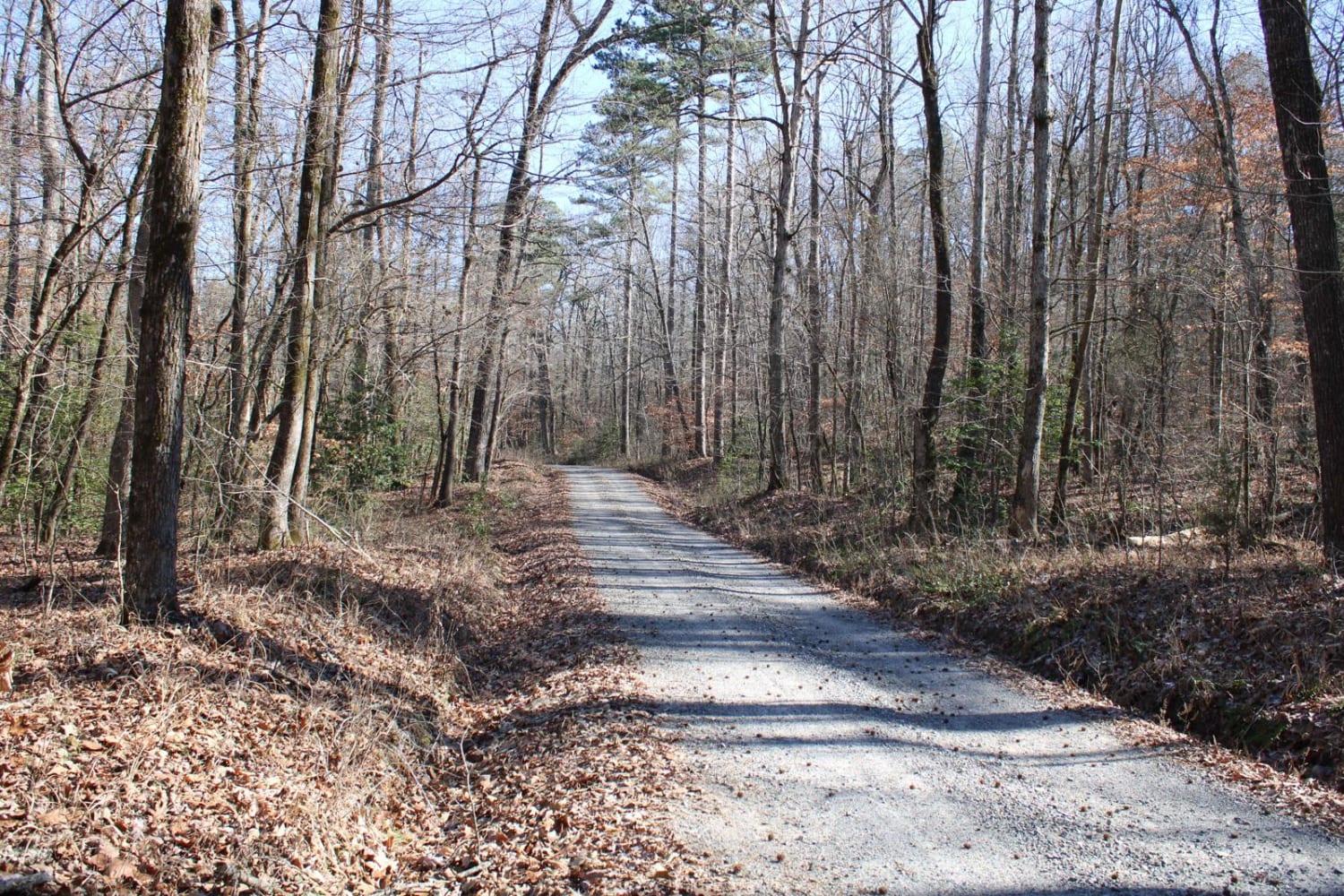
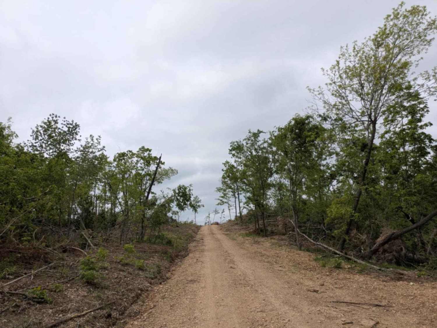
Trail Overview
This trail leads the rider through remote areas of the Ozark National Forest and features challenging mountainous terrain through a lush upland hardwood forest with unique rock outcrops, clear mountain streams, waterfalls, and spectacular scenic views. The trail is clearly marked. $3 day-use fee. Fee information is posted at the trailhead.
Photos of Mill Creek Blue Loop
Difficulty
The trail tread is gravel or unsurfaced and follows the rough and rocky terrain. Trail difficulty varies from easy to very difficult. There are several sections that are steep and rocky and some muddy sections.
Status Reports
Mill Creek Blue Loop can be accessed by the following ride types:
- SxS (60")
- ATV (50")
- Dirt Bike
Mill Creek Blue Loop Map
Popular Trails

Eagle Mountain Lookout

Pineapple Express
Collier Springs
The onX Offroad Difference
onX Offroad combines trail photos, descriptions, difficulty ratings, width restrictions, seasonality, and more in a user-friendly interface. Available on all devices, with offline access and full compatibility with CarPlay and Android Auto. Discover what you’re missing today!