1161
Total Miles
2.2
Technical Rating
Best Time
Spring, Summer, Winter, Fall
Trail Type
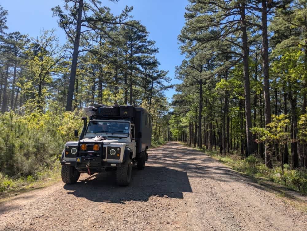
Full-Width Road
Accessible By
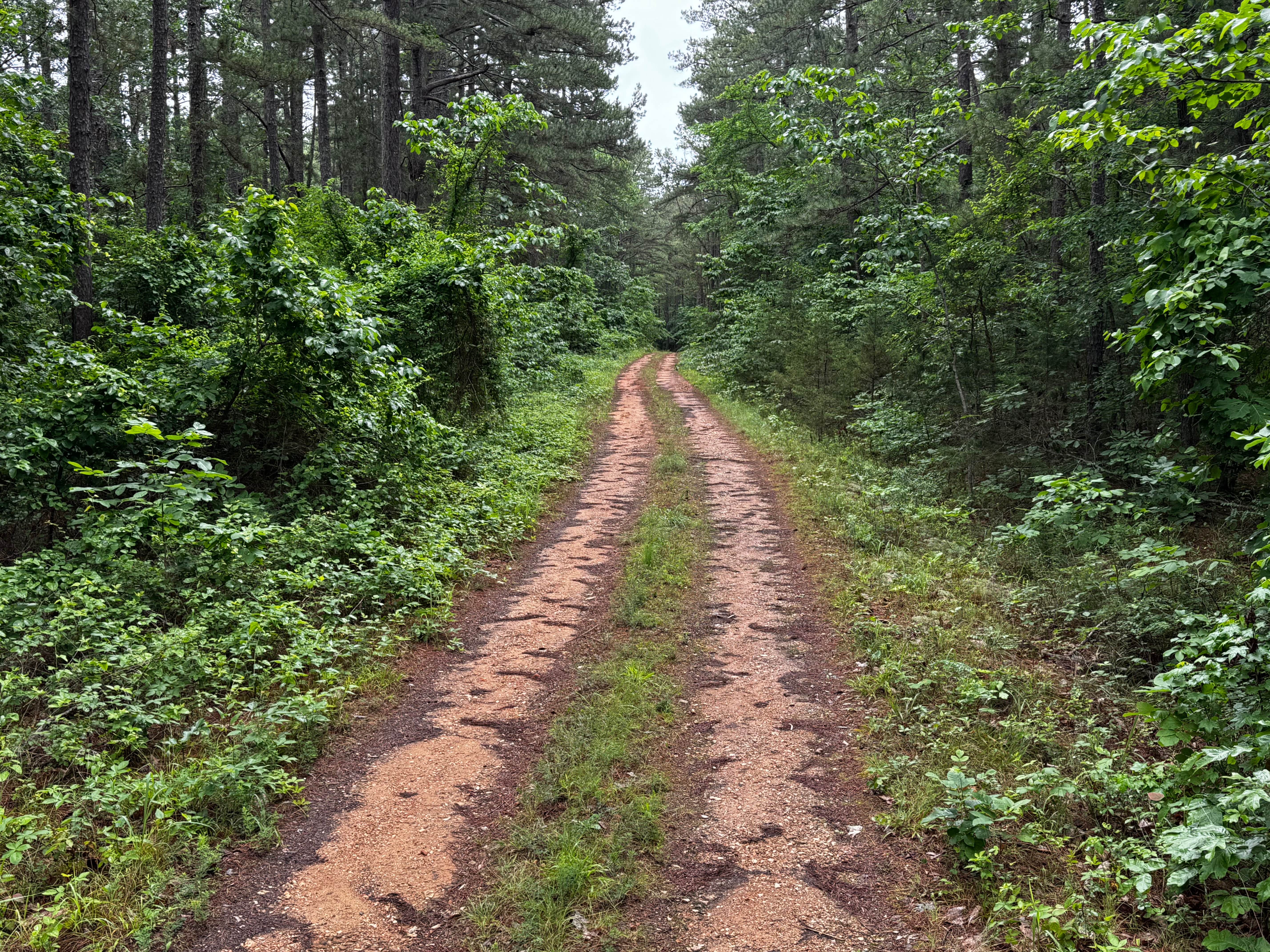
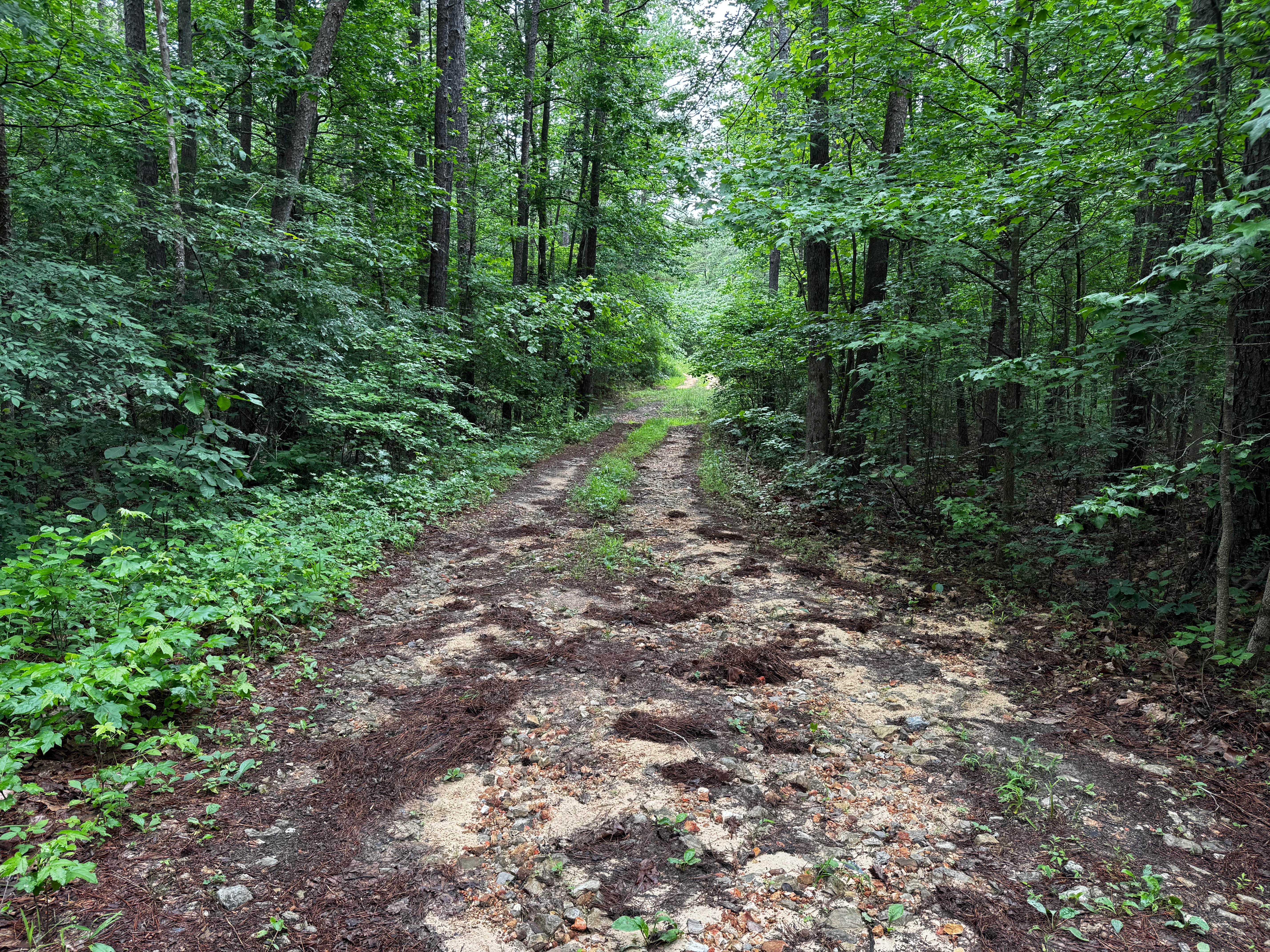
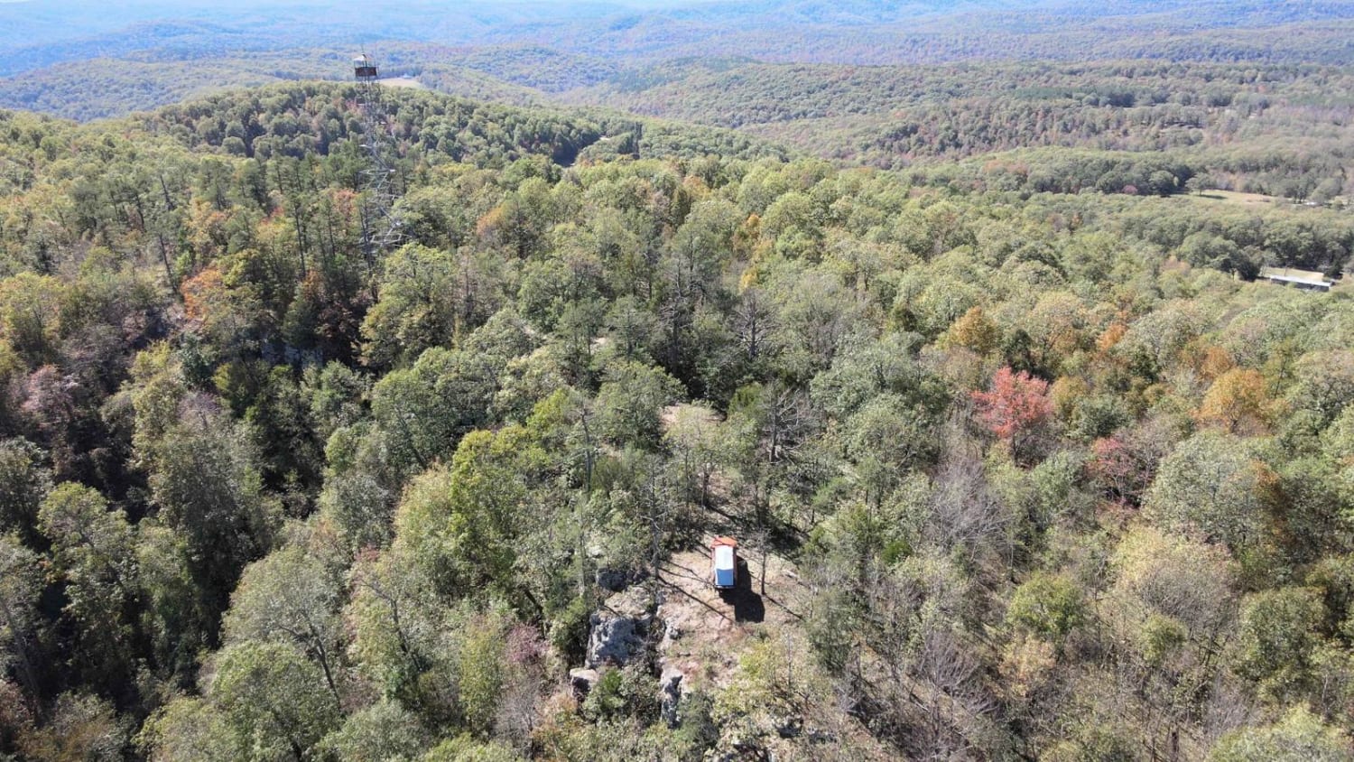
Trail Overview
This route branches off Highway 341 and quickly narrows into a one vehicle wide trail winding through dense forest and thick pines. The trail surface constantly changes, giving the route a little bit of everything. Some sections are relatively smooth with packed dirt and light gravel, while others become rocky and uneven with exposed rocks up to roughly 12 inches tall. Several muddy areas and standing water crossings are scattered throughout the route, especially after rainfall, though the mud holes appeared to have a solid bottom. The surrounding forest grows tight against the trail in many places, with heavy overgrowth, brush, and low branches making pinstriping and paint scratches very likely. There are also a few rougher eroded sections with ruts, loose rock, and off-camber areas that can create a more technical feel depending on weather conditions and vehicle setup.
Photos of 1161
Difficulty
This trail offers a moderate challenge due to its narrow width, muddy sections, rocky terrain, and heavy overgrowth. Most obstacles are manageable for stock high clearance 4x4s with decent ground clearance, but the exposed rocks, ruts, and slick mud after rain can make traction more difficult. The rocky sections reach up to roughly 12 inches tall in places and may require careful tire placement. Tight vegetation along the trail makes pinstriping and paint damage very likely, especially for wider vehicles. Wet conditions can quickly increase the difficulty level.
History
The roads throughout this region were originally established for logging, mining, homestead access, and fire management long before recreational off-roading became popular. Portions of the surrounding Buffalo National River area contain deep ties to Ozark pioneer history, including old settlements, abandoned homesites, family cemeteries, and former mining operations dating back to the late 1800s and early 1900s. The nearby Rush Historic District was once one of the largest zinc mining communities in Arkansas during the early 20th century. Many of the ridge roads and hollows drivers travel today follow paths historically used by miners, loggers, ranchers, and local residents navigating the rugged Ozark terrain long before modern highways existed.
Status Reports
1161 can be accessed by the following ride types:
- High-Clearance 4x4
- SUV
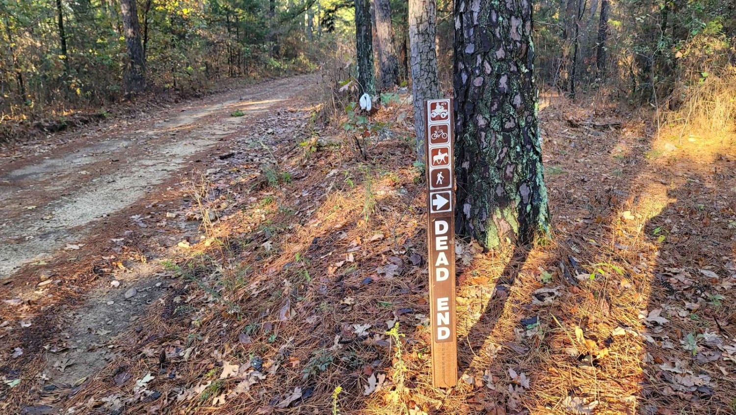
1161 Map
Popular Trails
Johnson Creek Road
Bouncing on Poteau

F46 Outlaw
The onX Offroad Difference
onX Offroad combines trail photos, descriptions, difficulty ratings, width restrictions, seasonality, and more in a user-friendly interface. Available on all devices, with offline access and full compatibility with CarPlay and Android Auto. Discover what you’re missing today!