Woodpecker Trail, Ajax Mine
Total Miles
7.2
Technical Rating
Best Time
Spring, Fall
Trail Type
High-Clearance 4x4 Trail
Accessible By
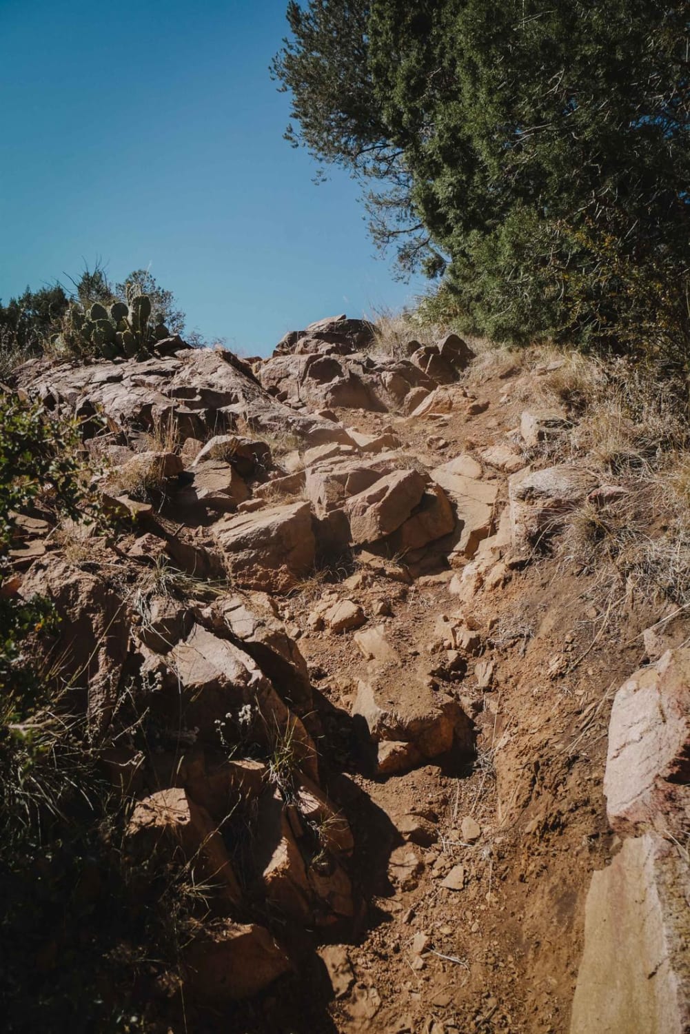
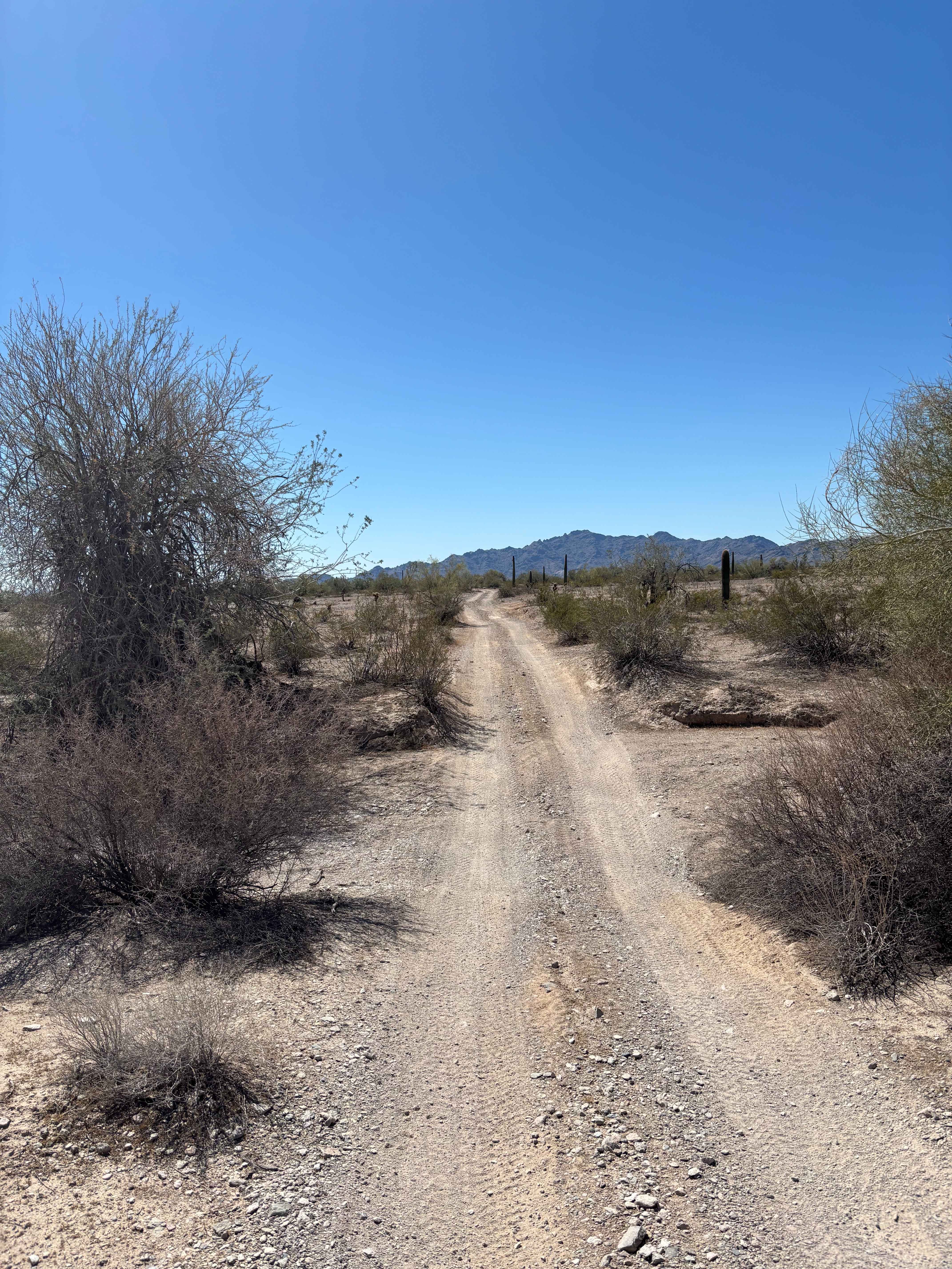
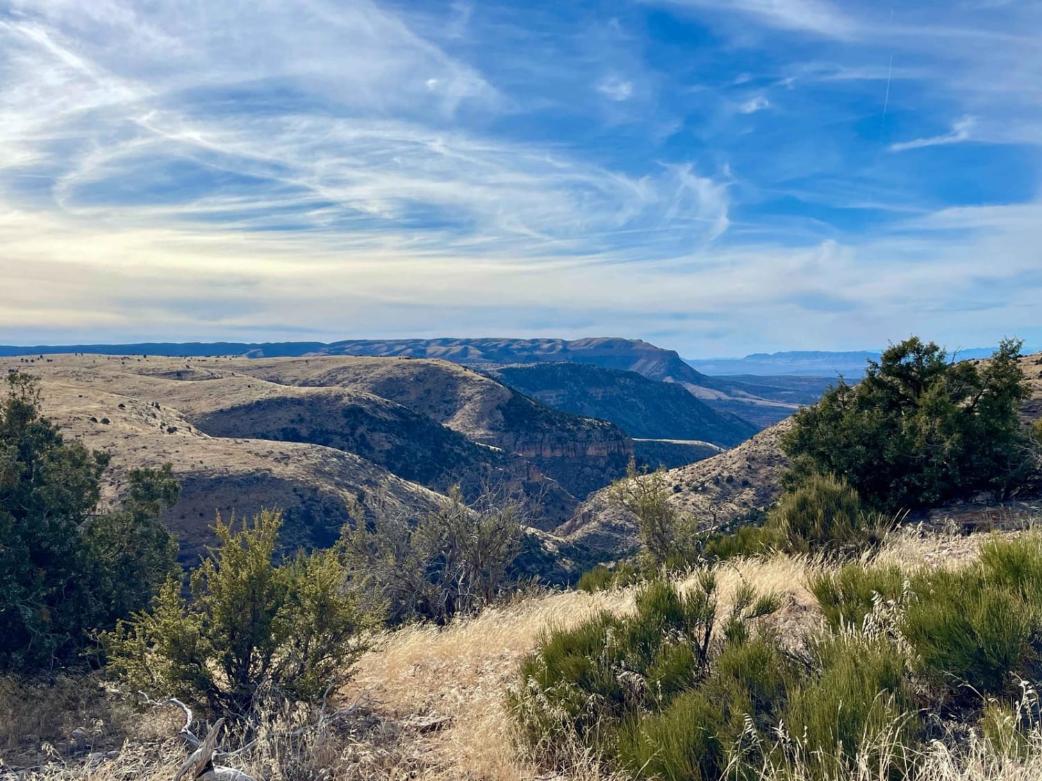
Trail Overview
This is a local hard-core favorite. Because of its difficulty, it's recommended to have one or two other vehicles and always bring water. You'll follow a rocky creek bottom with some washed out sections. There are a few scenic spots, but most of the time you'll have your eyes on the trail.
Photos of Woodpecker Trail, Ajax Mine
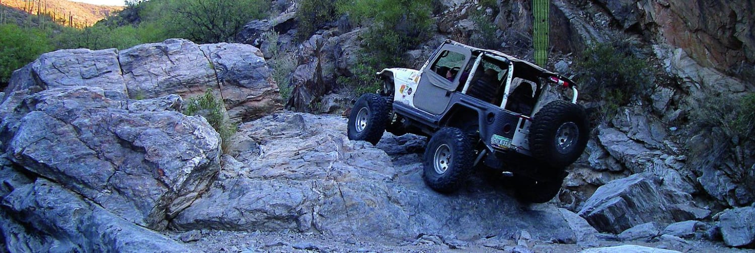
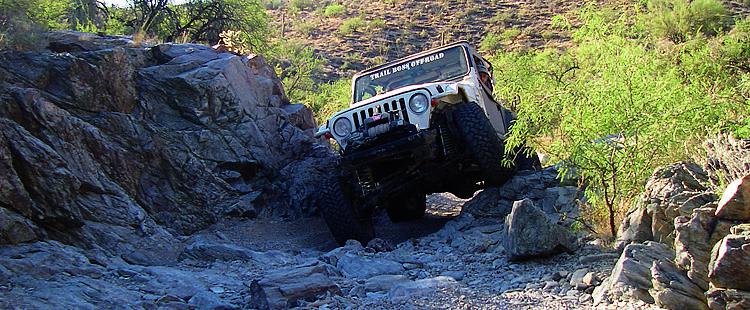
Difficulty
Difficult: Trail follows rocky creek bed with large boulders and narrow passages. Most difficult obstacles have bypasses. Lockers, skid plates and oversized tires a must. It's a good idea to carry extra parts.
History
At one time, the Woodpecker Mine was in danger of being closed. The Arizona State 4-Wheel-Drive Association purchased the mine to ensure the trail's access. Respect the area by staying on this route and packing out your trash.
Status Reports
Woodpecker Trail, Ajax Mine can be accessed by the following ride types:
- High-Clearance 4x4
- SxS (60")
- ATV (50")
- Dirt Bike
Woodpecker Trail, Ajax Mine Map
Popular Trails
Red Mountain Trail
1621 Ridge Rollercoaster
The onX Offroad Difference
onX Offroad combines trail photos, descriptions, difficulty ratings, width restrictions, seasonality, and more in a user-friendly interface. Available on all devices, with offline access and full compatibility with CarPlay and Android Auto. Discover what you’re missing today!