Sycamore Canyon Road
Total Miles
6.1
Technical Rating
Best Time
Spring, Summer, Fall, Winter
Trail Type
Full-Width Road
Accessible By
Trail Overview
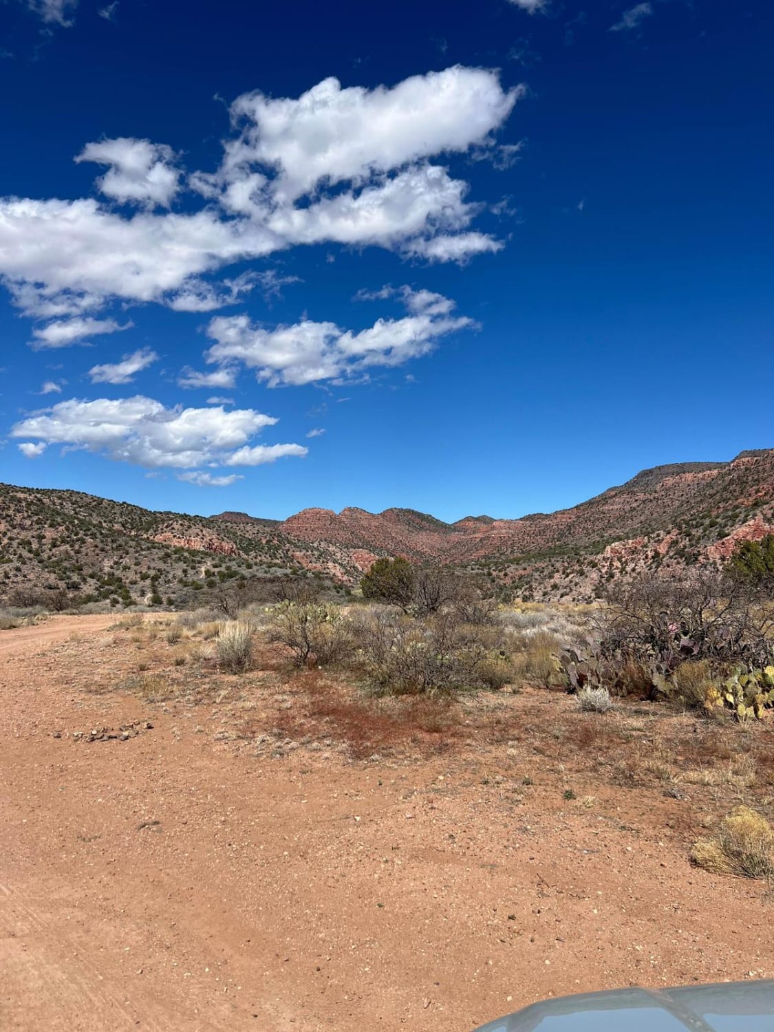
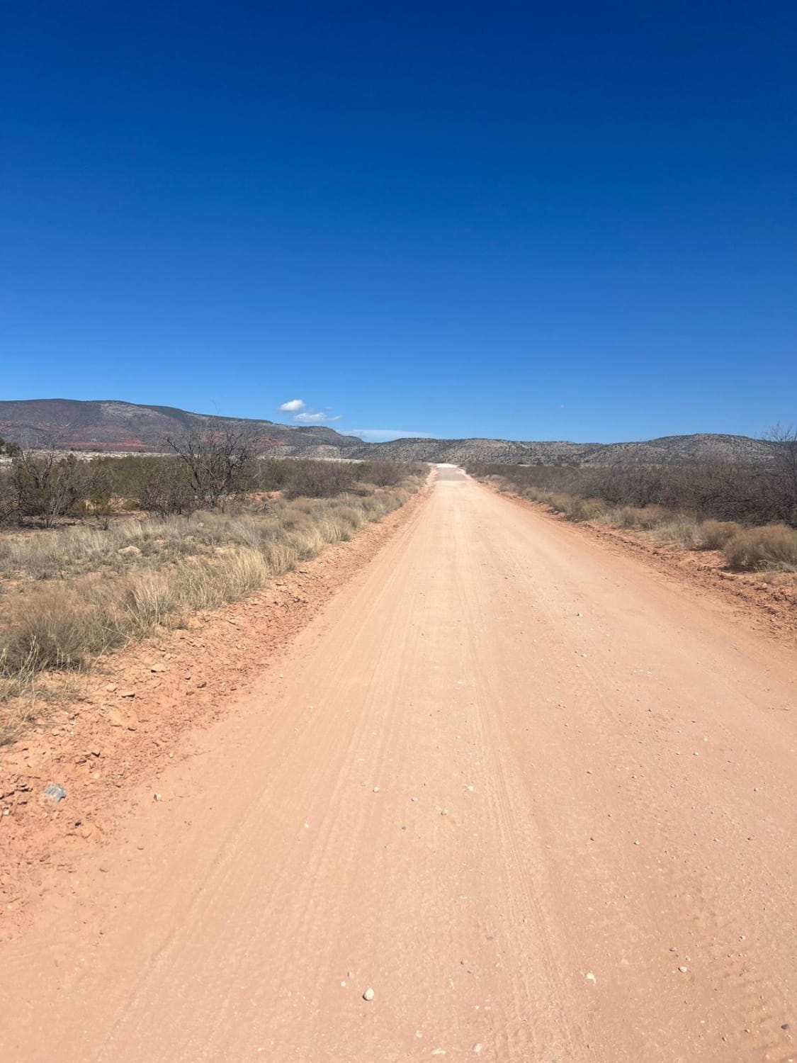
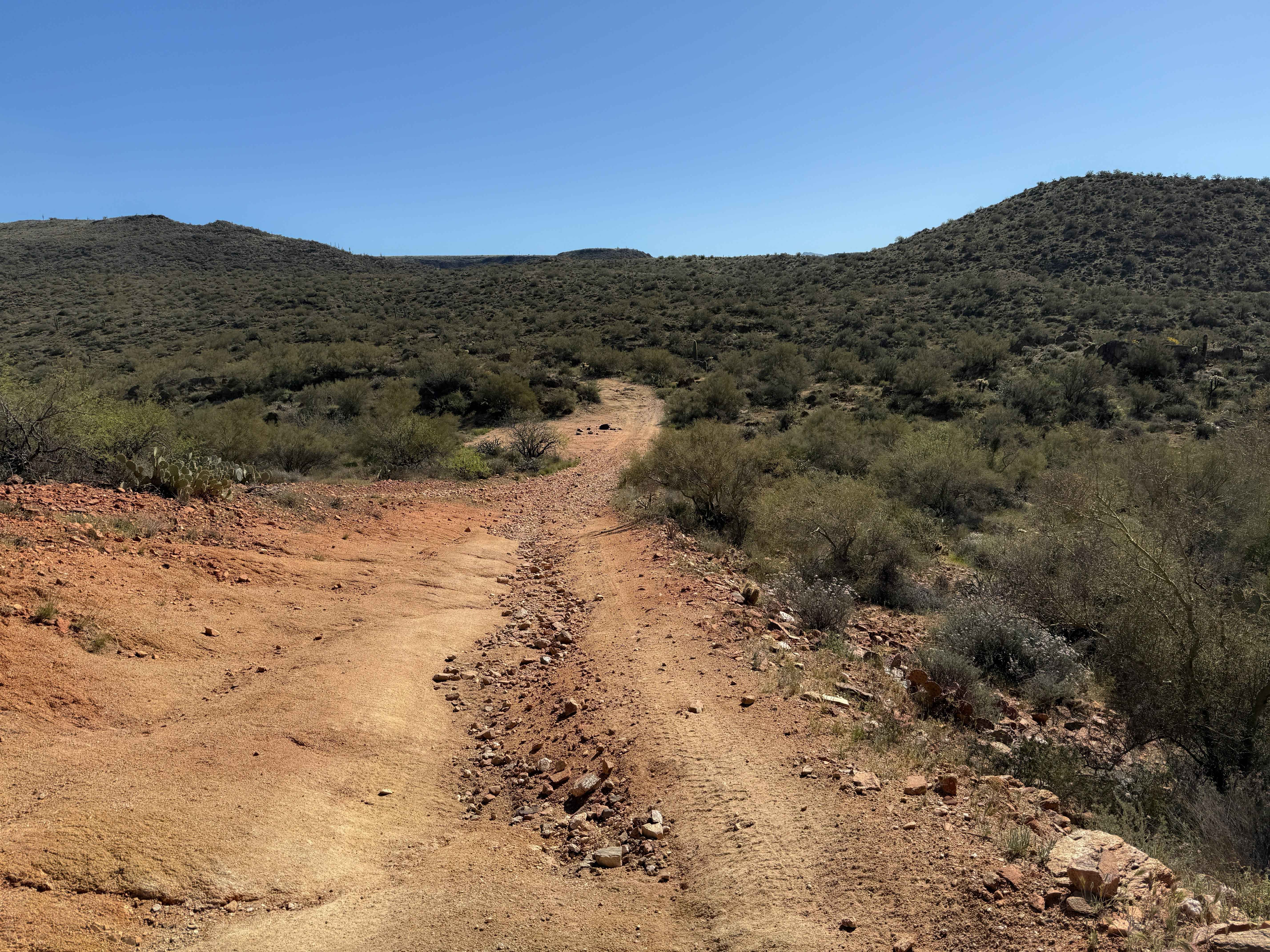
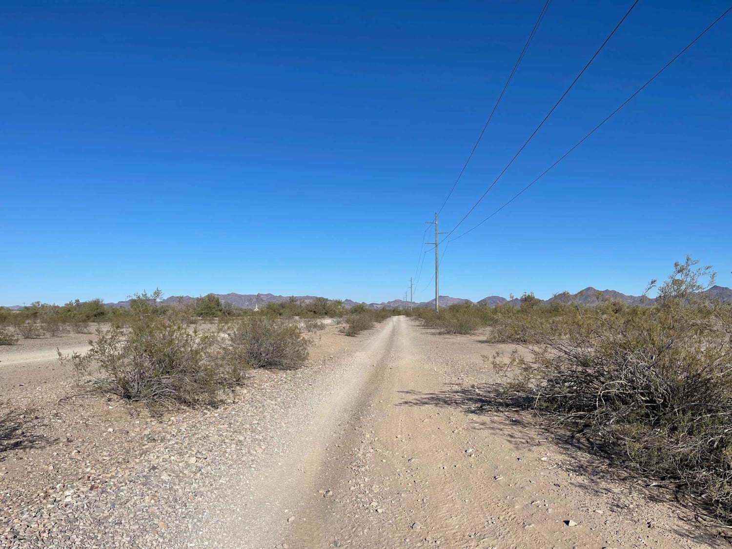
Sycamore Creek Road is just over 6 miles long and provides many access points to the Verde River and Sycamore Creek. This is a maintained road with some small rocky washboarded areas. This trail can get very dusty, so be cautious of limited visibility at times. There are camping sites along this trail and on the loop above Sycamore Canyon. This trail ends at a parking area for Parsons Trailhead, which is a hiking trail going into Sycamore Canyon and travels along Sycamore Creek. This entire trail is located in the Coconino National Forest. Be on the lookout for possible mountain bikers on this trail.
Photos of Sycamore Canyon Road
Difficulty
This is a maintained dirt road with small rocky washboarded sections.
Status Reports
Sycamore Canyon Road can be accessed by the following ride types:
- High-Clearance 4x4
- SUV
- SxS (60")
- ATV (50")
- Dirt Bike
Sycamore Canyon Road Map
Popular Trails
Cherry Creek Lodge Rd - Backway to Young AZ
Frog Tank Loop
Plomosito Wash Cutover
The onX Offroad Difference
onX Offroad combines trail photos, descriptions, difficulty ratings, width restrictions, seasonality, and more in a user-friendly interface. Available on all devices, with offline access and full compatibility with CarPlay and Android Auto. Discover what you’re missing today!