Valley Run
Total Miles
7.4
Technical Rating
Best Time
Spring, Summer, Fall, Winter
Trail Type
High-Clearance 4x4 Trail
Accessible By
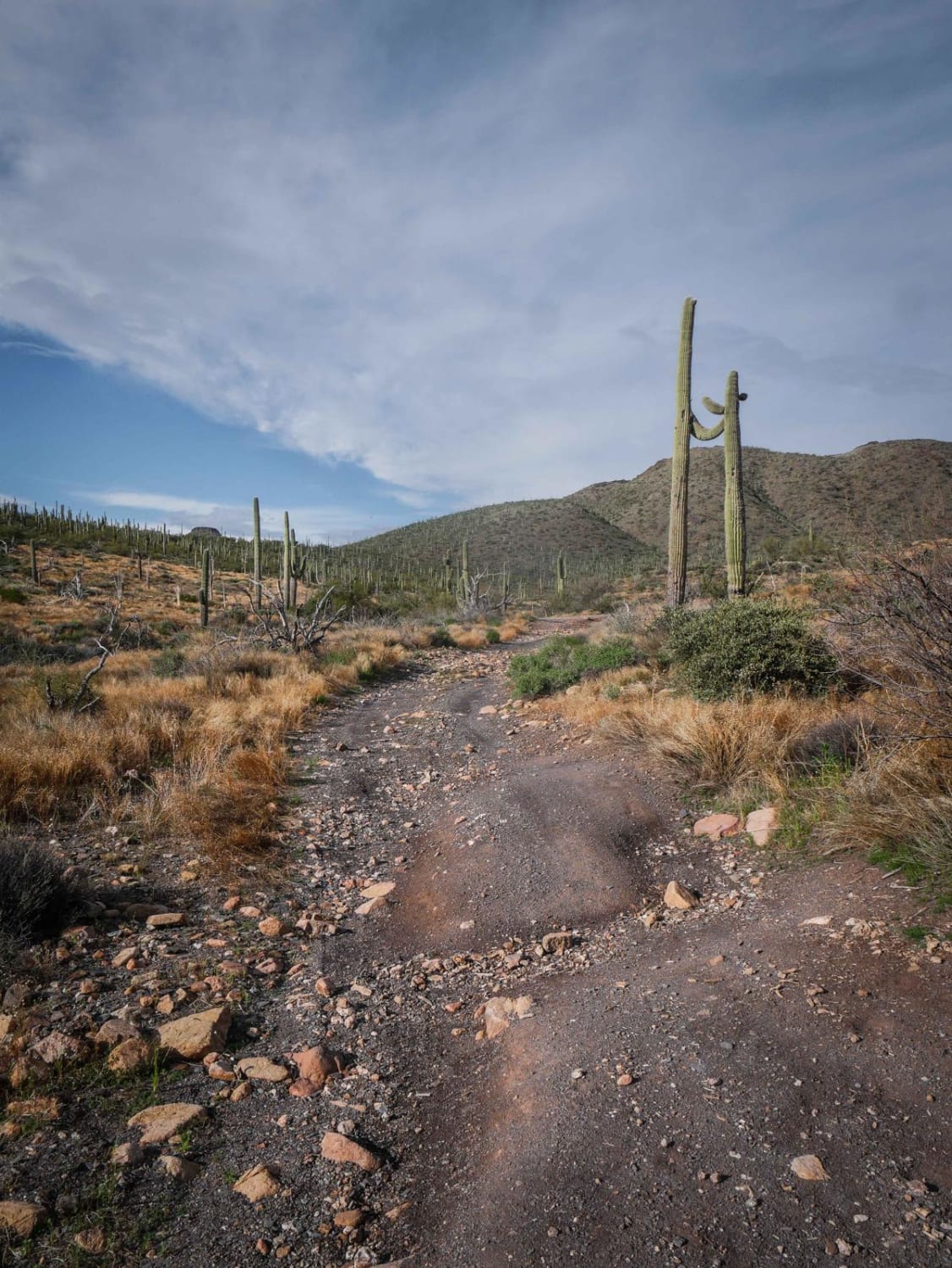
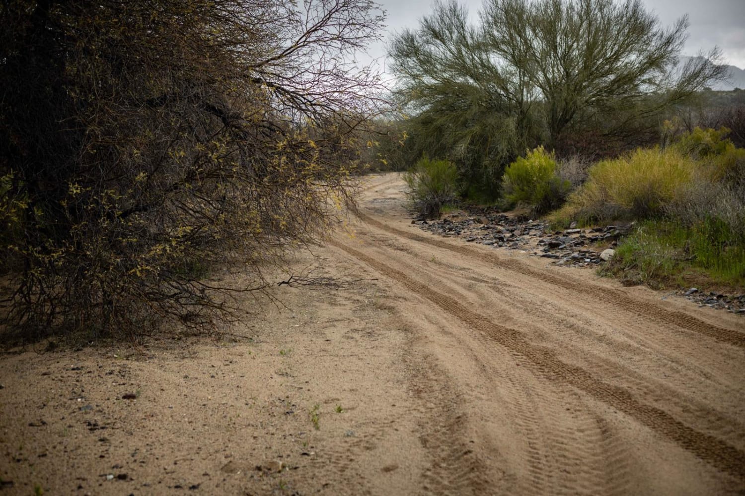
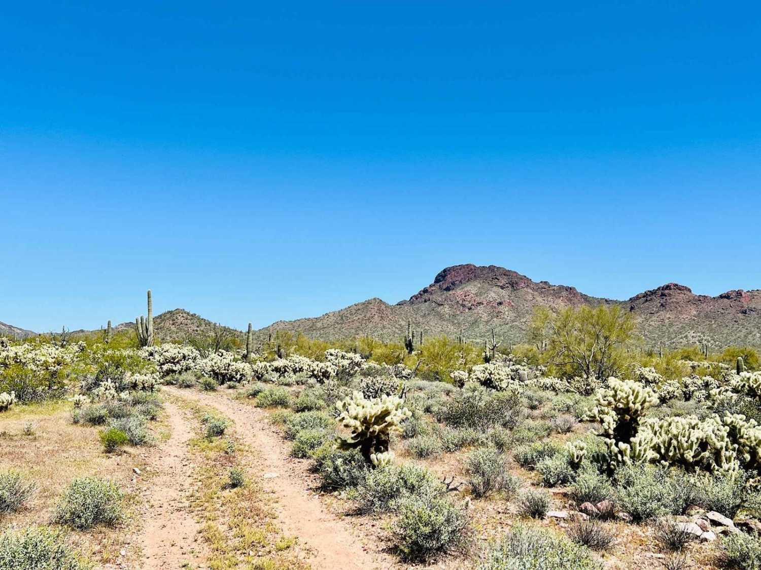
Trail Overview
This trail cuts across the valley running through washes and flat land to Sore Finger Road. This trail offers beautiful landscapes, desert plants, and views of the mountains and rock hills. There are many trails that can be explored from this trail. Some of the nearby trails lead to old mines and canyons to be more specific. Please take the time to explore the area. This trail is over Arizona State trust land. Please apply for permits if required.
Photos of Valley Run


Difficulty
This trail is very windy in spots and will require some skill to navigate.
Status Reports
Valley Run can be accessed by the following ride types:
- High-Clearance 4x4
- SxS (60")
- ATV (50")
- Dirt Bike
Valley Run Map
Popular Trails
King Well 497

The onX Offroad Difference
onX Offroad combines trail photos, descriptions, difficulty ratings, width restrictions, seasonality, and more in a user-friendly interface. Available on all devices, with offline access and full compatibility with CarPlay and Android Auto. Discover what you’re missing today!