Triple C
Total Miles
2.3
Technical Rating
Best Time
Spring, Fall, Summer, Winter
Trail Type
High-Clearance 4x4 Trail
Accessible By
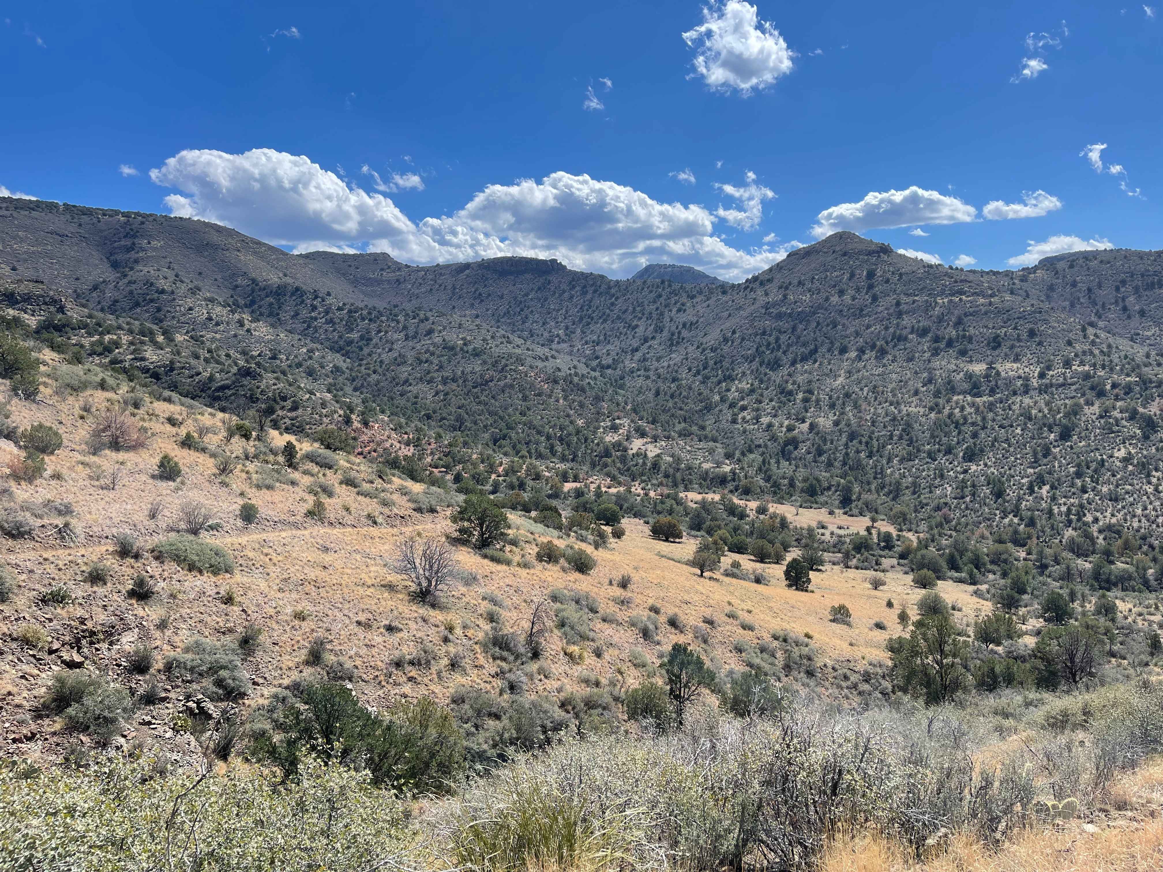
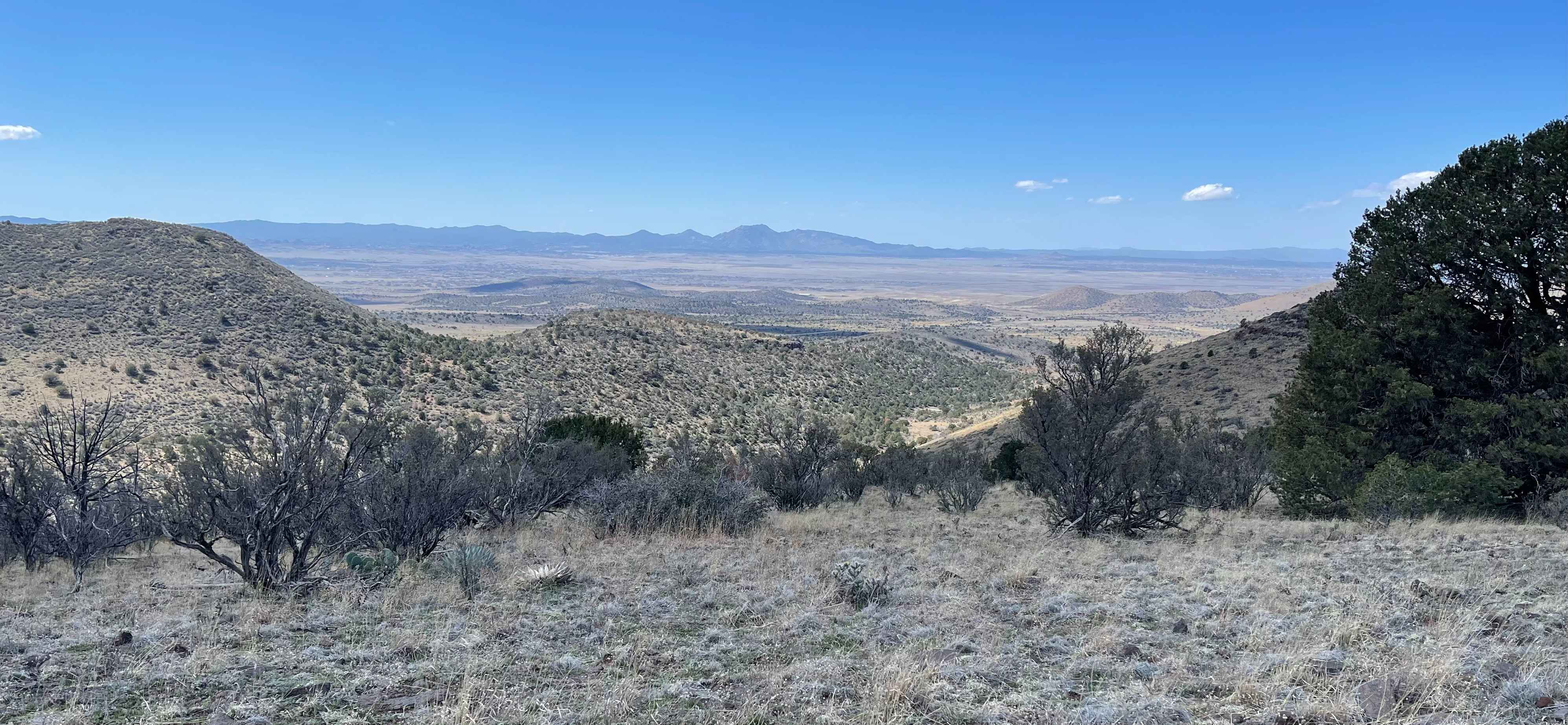
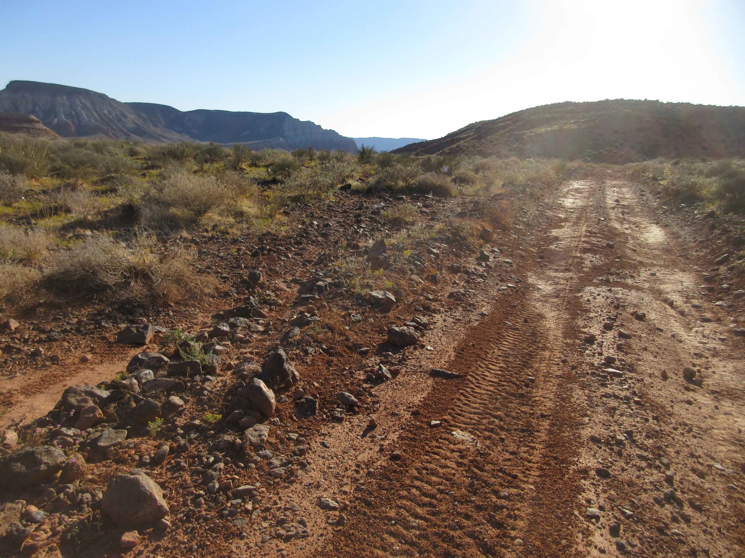
Trail Overview
Starts out as an easy two-track trail from the water tank. At 0.5 miles in, you'll pass the wildlife water catchment on your right. The trail crosses CCC Creek several times as it twists through the juniper trees. At 1.1 miles in, you leave the creek and start climbing as the trail narrows. The climb is rocky, and there is one ledge to negotiate. Trail levels out at 1.6 miles. The trail then continues another mile or so until you reach the peak. There is a small fire pit, and the views of Prescott Valley all the way to the San Francisco Peaks are amazing.
Photos of Triple C
Difficulty
The one ledge on the climb is a 5, but the rest of the trail is a 3.
History
CCC Canyon is named for the Civilian Conservation Corps. Created in 1932 as part of President Roosevelt's New Deal, the CCC created jobs for millions and was integral to creating roads in the area.
Status Reports
Triple C can be accessed by the following ride types:
- High-Clearance 4x4
- SxS (60")
- ATV (50")
- Dirt Bike
Triple C Map
Popular Trails
Sunshine - Temple Trails Interconnect

Knight Tank Direct

The onX Offroad Difference
onX Offroad combines trail photos, descriptions, difficulty ratings, width restrictions, seasonality, and more in a user-friendly interface. Available on all devices, with offline access and full compatibility with CarPlay and Android Auto. Discover what you’re missing today!