Sullivan Ridge South
Total Miles
3.2
Technical Rating
Best Time
Spring, Winter, Fall
Trail Type
Full-Width Road
Accessible By
Trail Overview
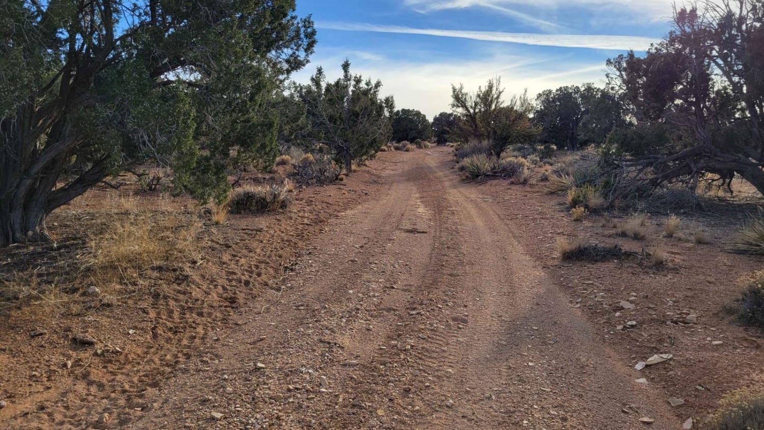
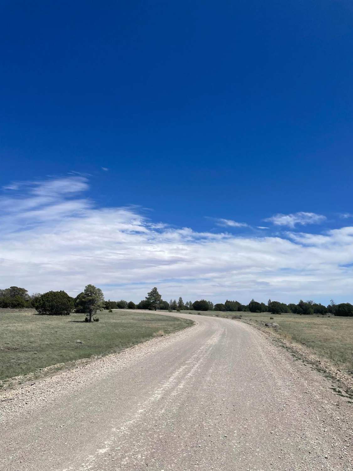
Sullivan Ridge South is an unmarked (no trail markers), single-vehicle-wide, two-track trail that takes you across the plateau. This trail can be used as a connection to other trails in the area. From north to south, it begins as a fairly simple and easy trail, weaving into the trees and back out into the open. You'll pass a fenced area where someone has laid out tarps with tires on top. Supposedly this is for collecting rainwater, presumably for the livestock in the area. Towards the last of the southern end of the trail, there is a short, steep little hill climb/descent and expansive views of the surrounding area. The trail crosses a cattle guard; livestock are free-roaming and can be on the trail so be on the lookout. The Arizona Strip is incredibly remote with no service and hardly any visitors. Summer months will reach triple-digit temperatures and freezing temperatures in the winter months. Be prepared when venturing out here.
Photos of Sullivan Ridge South
Difficulty
Sullivan Ridge South is an unmarked (no trail markers), single-vehicle-wide, two-track trail that takes you across the plateau. Towards the last of the southern end of the trail, there is a short, steep little hill climb/descent.
Status Reports
Sullivan Ridge South can be accessed by the following ride types:
- High-Clearance 4x4
- SUV
- SxS (60")
- ATV (50")
- Dirt Bike
Sullivan Ridge South Map
Popular Trails

Slate Mountain Bypass

Antelope Loop

Upstream Access to China Dam
The onX Offroad Difference
onX Offroad combines trail photos, descriptions, difficulty ratings, width restrictions, seasonality, and more in a user-friendly interface. Available on all devices, with offline access and full compatibility with CarPlay and Android Auto. Discover what you’re missing today!


