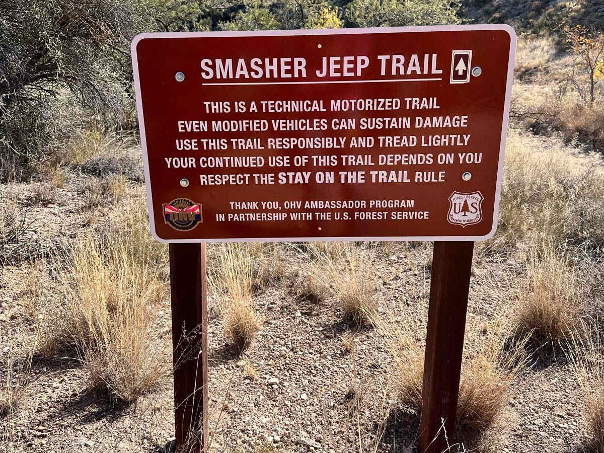
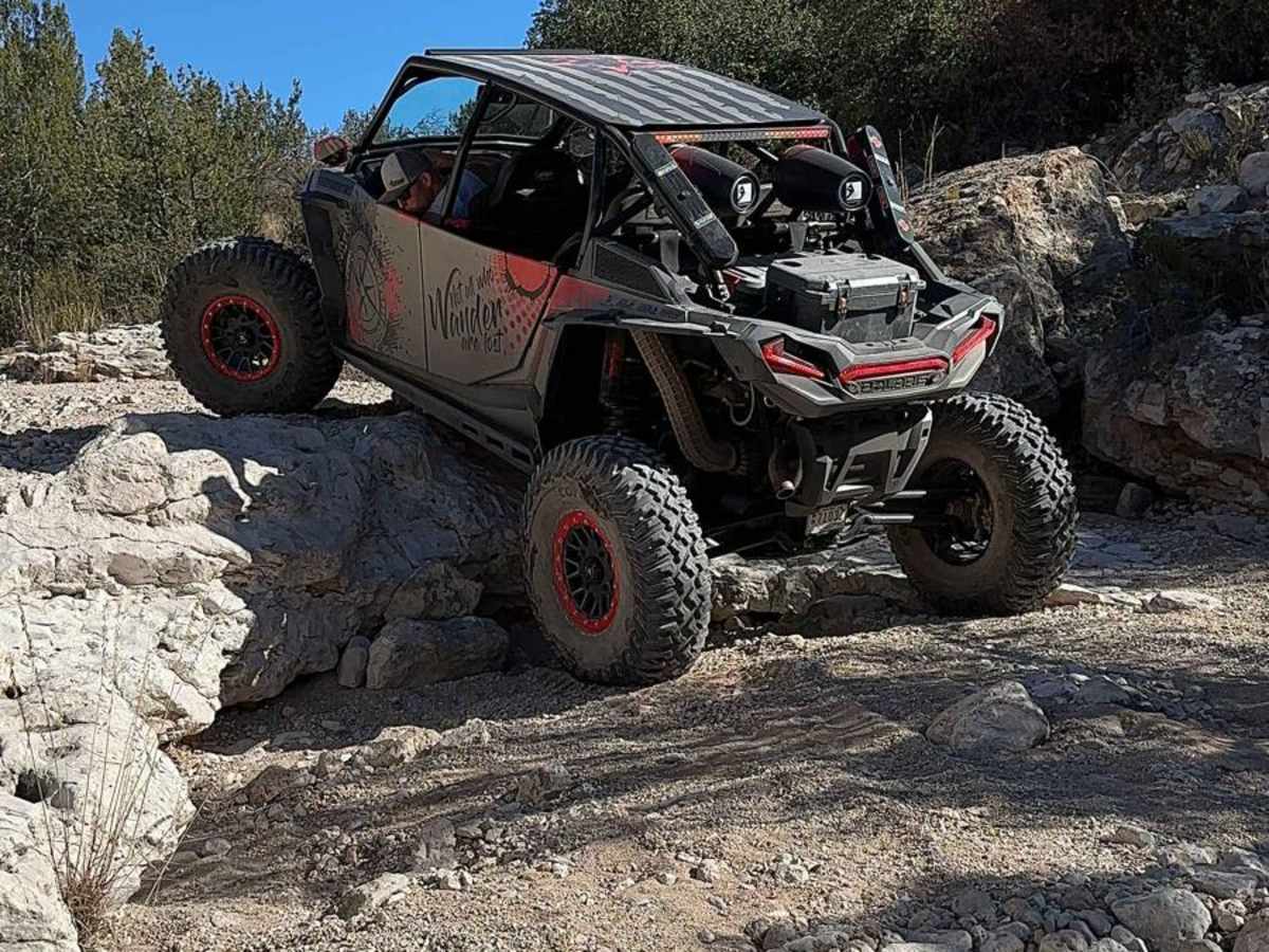
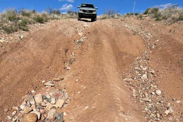
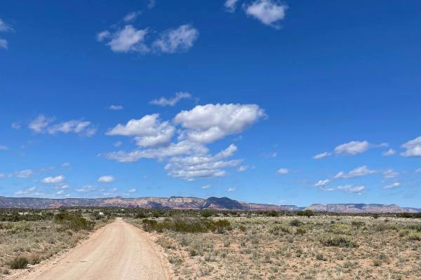
Smasher Canyon

Total Miles
3.5

Elevation

1,166.32 ft

Duration

3 Hours

Technical Rating

7

Difficult

Best Time

Spring, Summer, Fall

Trail Overview

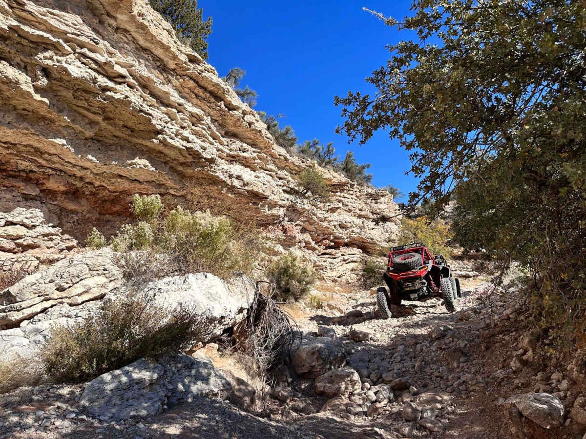
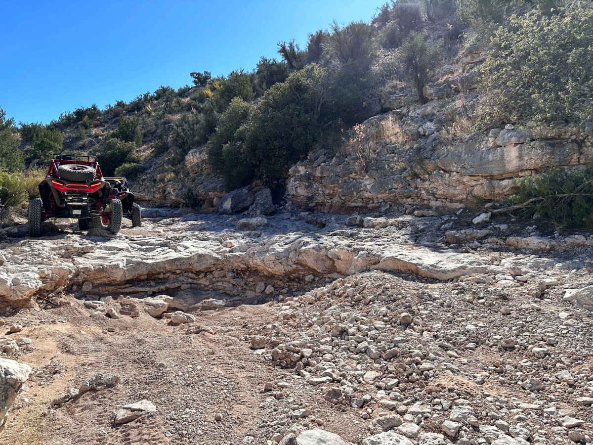
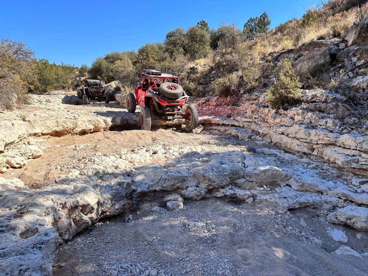
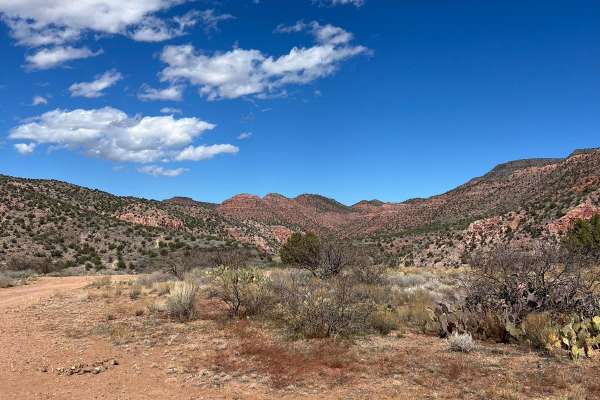
With a name like Smasher Canyon, you have to expect it to have its challenges. This trail is not for the faint of heart as it winds through rugged terrain. Smasher is a popular rock crawling trail in the high desert of central Arizona near the small town of Clarkdale. The trail demands a certain level of offroad driving expertise. Steep ascents and descents, coupled with technical sections, will challenge your vehicle's capabilities and your driving skills. Four-wheel drive, high clearance, and lockers are highly recommended for a safe and enjoyable experience. The white stone ledges and boulders that are found throughout the entire trail average 2 feet tall and require a good spotter to keep from being high centered. There's a high risk of body damage and or breakage. The trail is designed to go counterclockwise.

Photos of Smasher Canyon

Smasher Canyon
Smasher Canyon
Smasher Canyon

Difficulty

This is a rock crawling trail without bypasses. There are numerous large vertical ledges and boulders to climb. It's a high risk of body damage and/or breakage. A spotter is highly recommended. There are only two bypasses on impassable washed-out sections. All other obstacles will need to be completed. It's not recommended for stock vehicles or inexperienced drivers

Technical Rating

7

Status Reports

Jeff Rose
Mar 30, 2024
SxS
Open
Normal
Clockwise trip of Smasher Canyon in a Side x Side. Total time 5 Hours. A lot of drops and narrow sections. Constant walking ahead to check out the drops and spotting. Checked out a portion in my Jeep Rubicon (33" w/ no lift) a couple of weeks ago and decided not to do it. My buddy wanted to do it in his SxS so we went for it. Hard trail but we had fun. Glad I didn't scratch up my brand new Jeep.

Access Description

From Cottonwood Arizona, at Highway 89A and Main Street: Travel north 3.9 miles on Main (turns into Broadway) to Tuzigoot Road. You will see a large brown Tuzigoot National Monument sign. Travel east across the Verde River bridge and immediately turn left, north onto Sycamore Canyon Road. Travel 5.9 miles until trail FR 258 on the right, east side of the road. There is a small staging area here. Travel on FR 258 for 1.3 miles to the trailhead on the right, west side of the trail.

Popular Trails

Go Farther

Try onX Offroad Elite for free for a week — no strings attached. Get access to thousands of off-road dirt trails and snowmobile trails across the nation. View your favorite zones in 3D. Send trails to friends. Start planning the trip of a lifetime now.