Shannon Basin Alt Trail
Total Miles
3.6
Technical Rating
Best Time
Spring, Summer, Fall, Winter
Trail Type
High-Clearance 4x4 Trail
Accessible By
Trail Overview
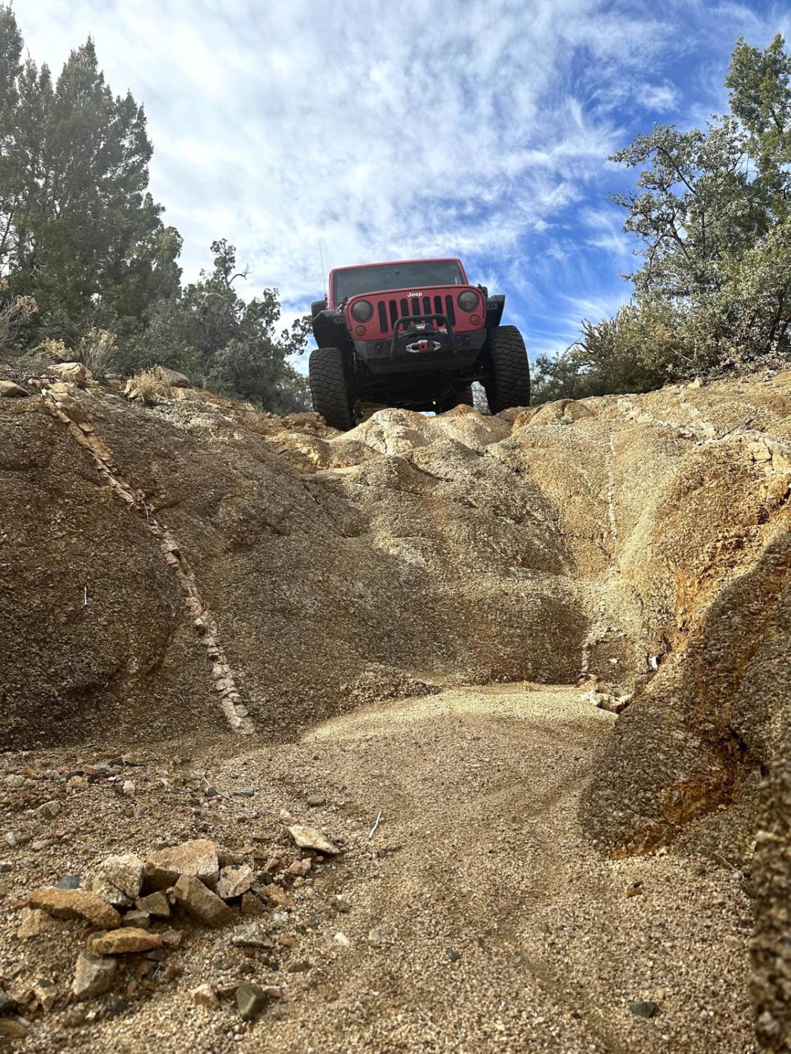
This 3.6-mile point-to-point trail is an alternate route for the Shannon Basin Trail. The trail is all single-vehicle with several washed-out sections creating off-camber travel. At the halfway point there is a waterfall obstacle that is up to 18". There are several steep grades with loose rocks. Cell reception is good throughout the entire route.
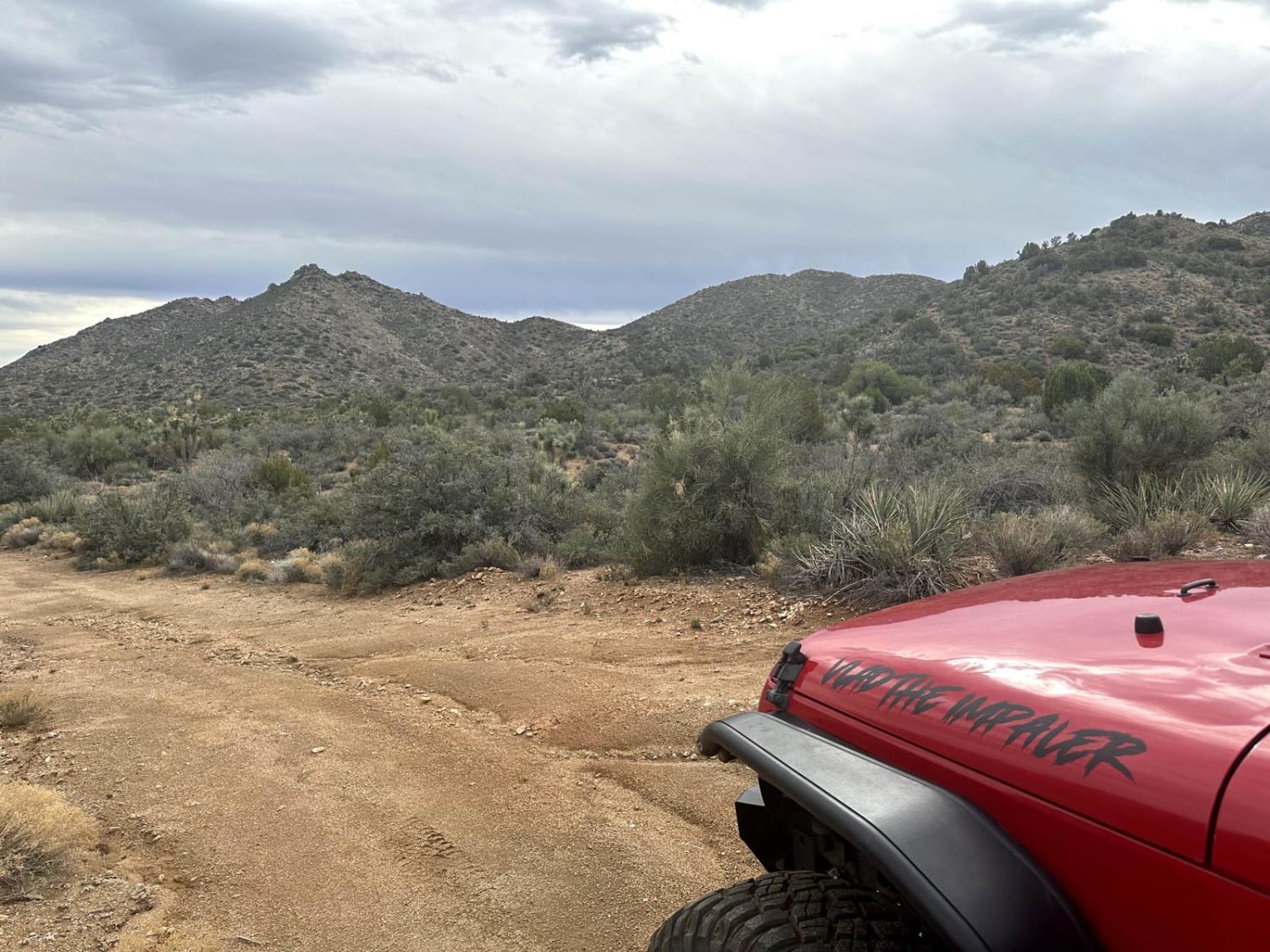
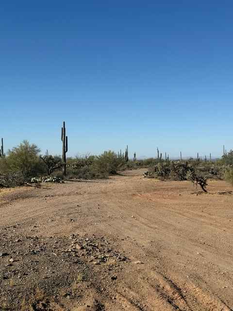
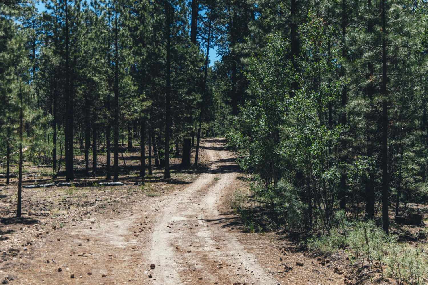
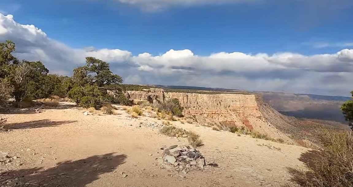
Photos of Shannon Basin Alt Trail
Difficulty
One portion of the trail passes through a wash with steep grades to get in and out with obstacles in excess of 12".
Shannon Basin Alt Trail can be accessed by the following ride types:
- High-Clearance 4x4
- SxS (60")
- ATV (50")
- Dirt Bike
Shannon Basin Alt Trail Map
Popular Trails

Jackrabbit Way
Kelly Point Trail NPS 1203
The onX Offroad Difference
onX Offroad combines trail photos, descriptions, difficulty ratings, width restrictions, seasonality, and more in a user-friendly interface. Available on all devices, with offline access and full compatibility with CarPlay and Android Auto. Discover what you’re missing today!