Sawtooth Powerline Trail
Total Miles
5.7
Technical Rating
Best Time
Fall, Winter, Spring
Trail Type
Full-Width Road
Accessible By
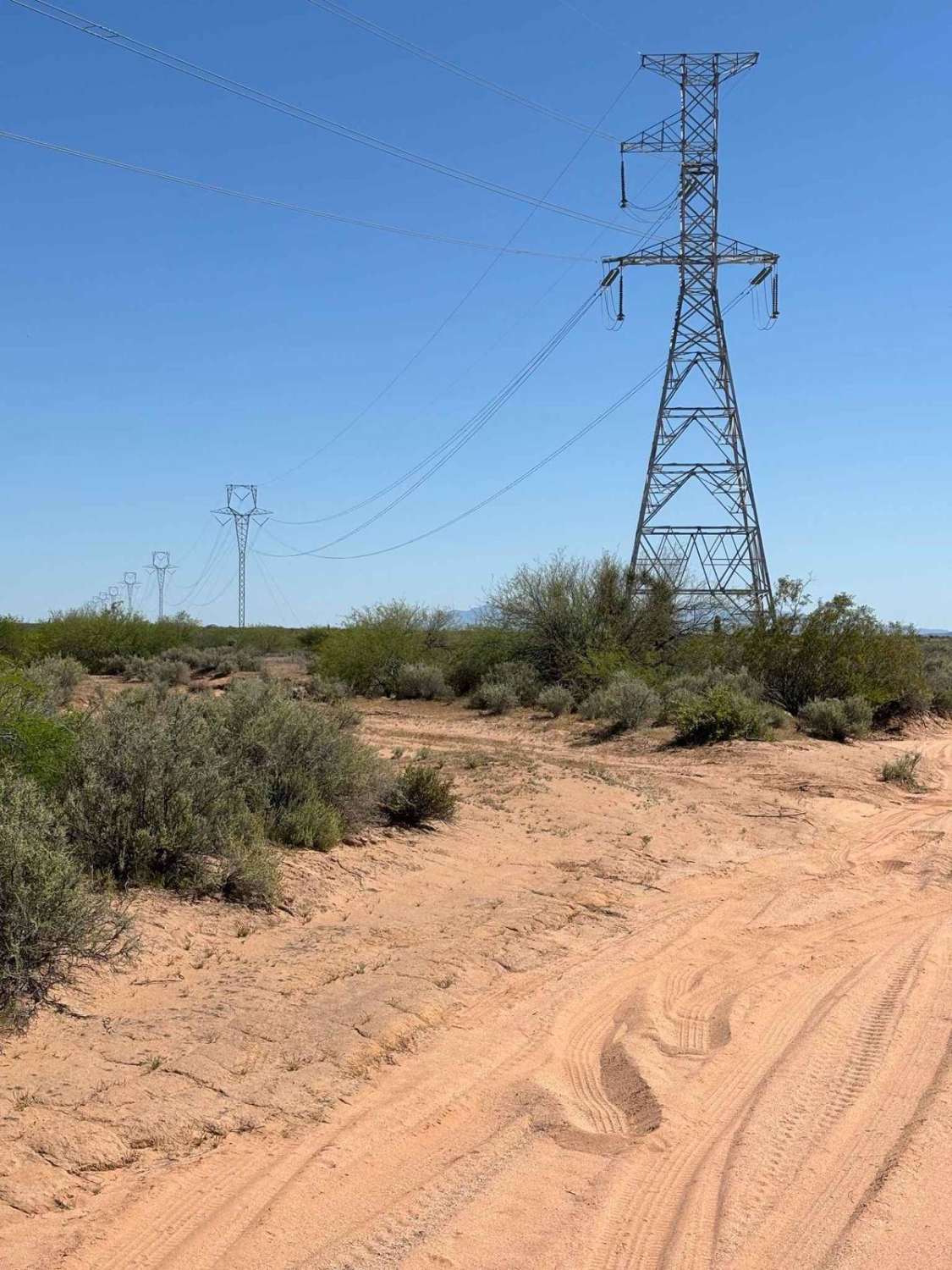
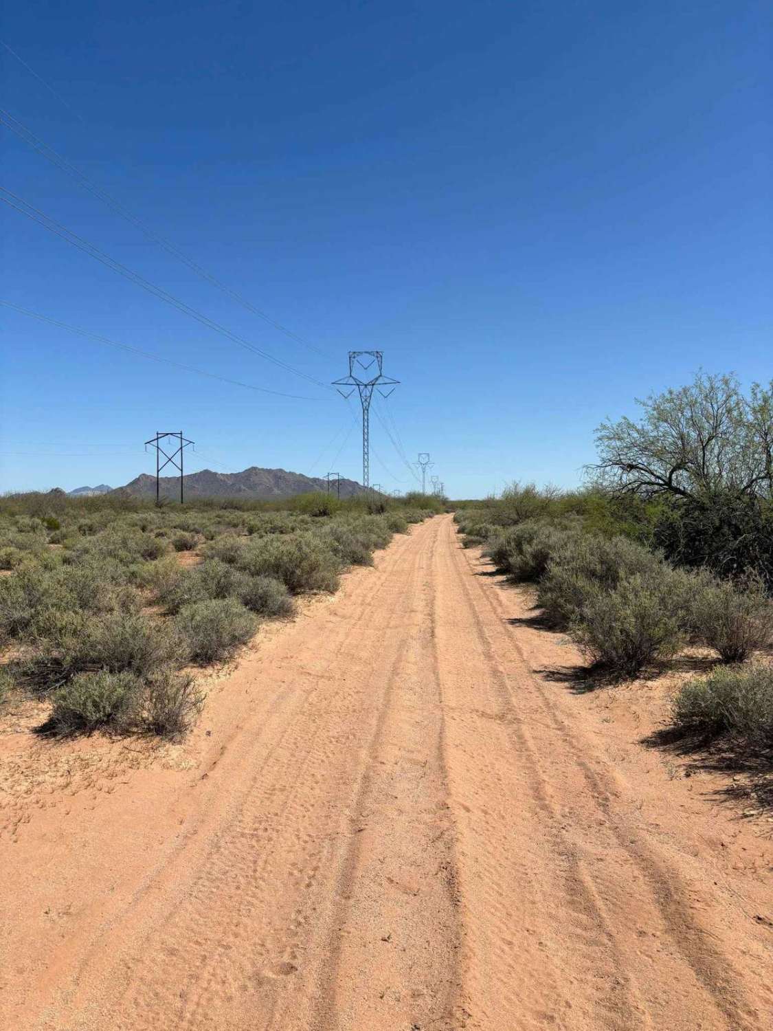
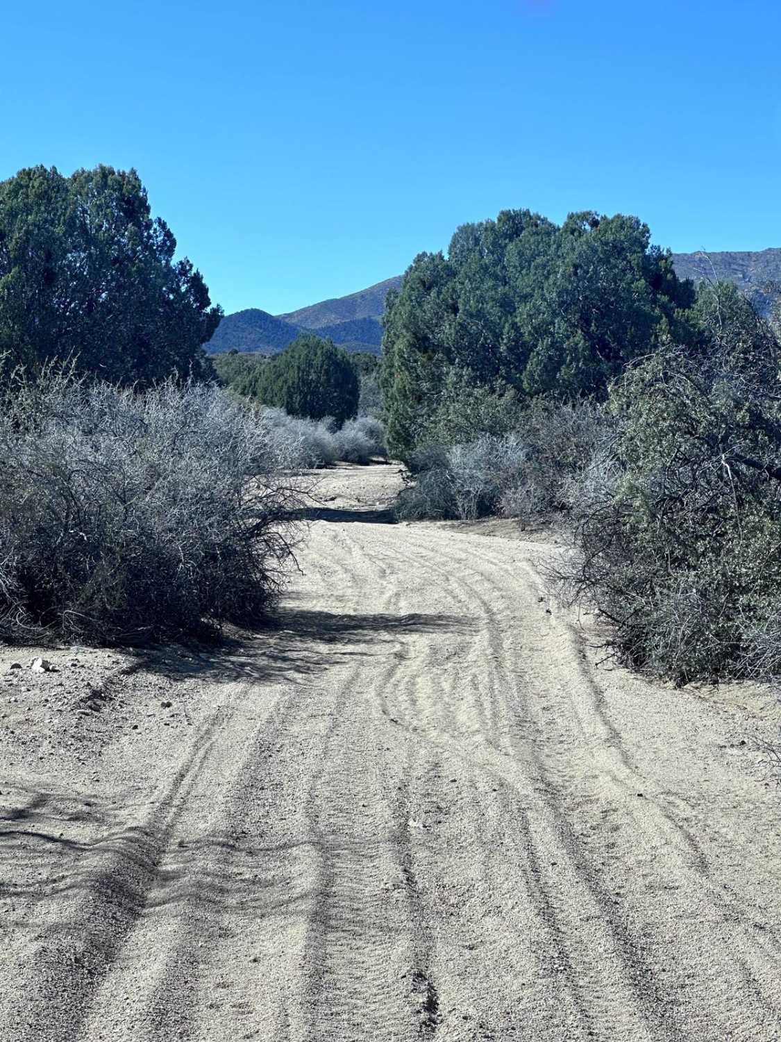
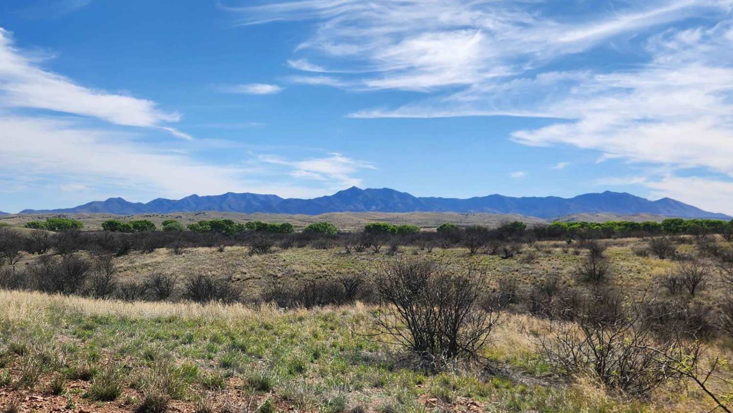
Trail Overview
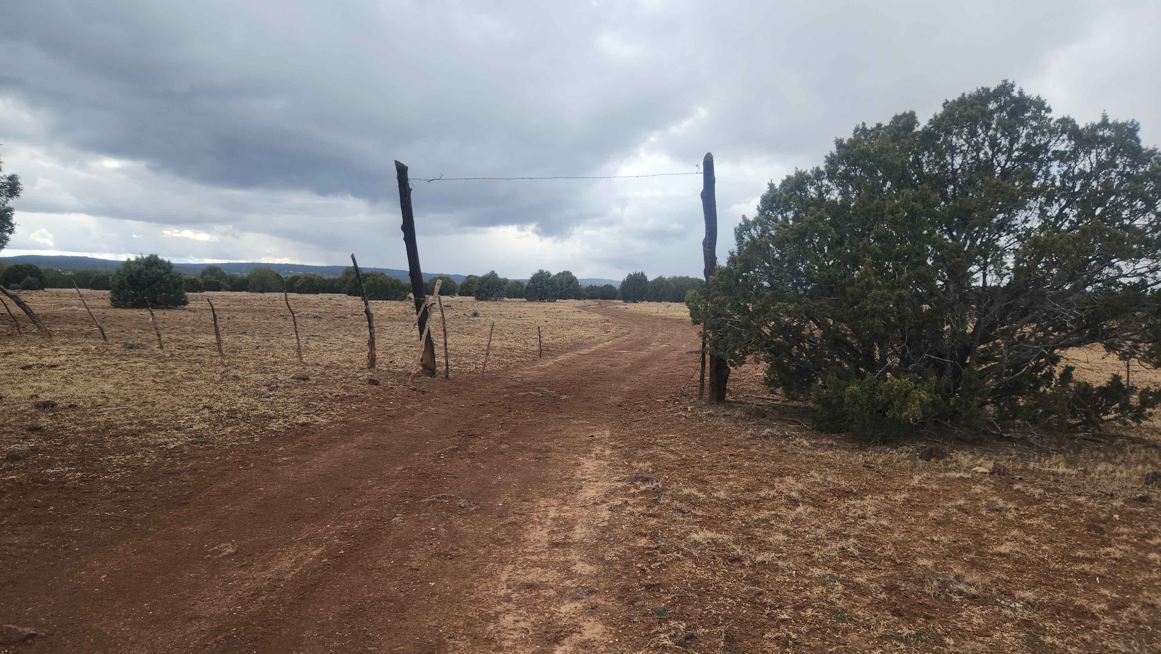
This powerline trail provides access to the West Silverbell Mountain Loop from the Sawtooth Mountain Loop. Other side trails give access to the Silverbell Sasco loop as well. This is a massive backcountry area with many unmapped trails, very few crowds, and an abundance of Sonoran desert flora and fauna, including a variety of lizards darting across the trail. There is a cattle fence along the border of Pinal and Pima Counties, but there are trails along each side of it with at least a handful of crossing spots.
Photos of Sawtooth Powerline Trail
Difficulty
This trail is mostly sandy and easy to traverse. 4x4 helps.
Status Reports
Sawtooth Powerline Trail can be accessed by the following ride types:
- High-Clearance 4x4
- SUV
- SxS (60")
- ATV (50")
- Dirt Bike
Sawtooth Powerline Trail Map
Popular Trails
North Fool Hollow

Andrada Tank Loop FR 6905
The onX Offroad Difference
onX Offroad combines trail photos, descriptions, difficulty ratings, width restrictions, seasonality, and more in a user-friendly interface. Available on all devices, with offline access and full compatibility with CarPlay and Android Auto. Discover what you’re missing today!