Sa1068
Total Miles
1.0
Technical Rating
Best Time
Spring, Fall, Winter, Summer
Trail Type
Full-Width Road
Accessible By
Trail Overview
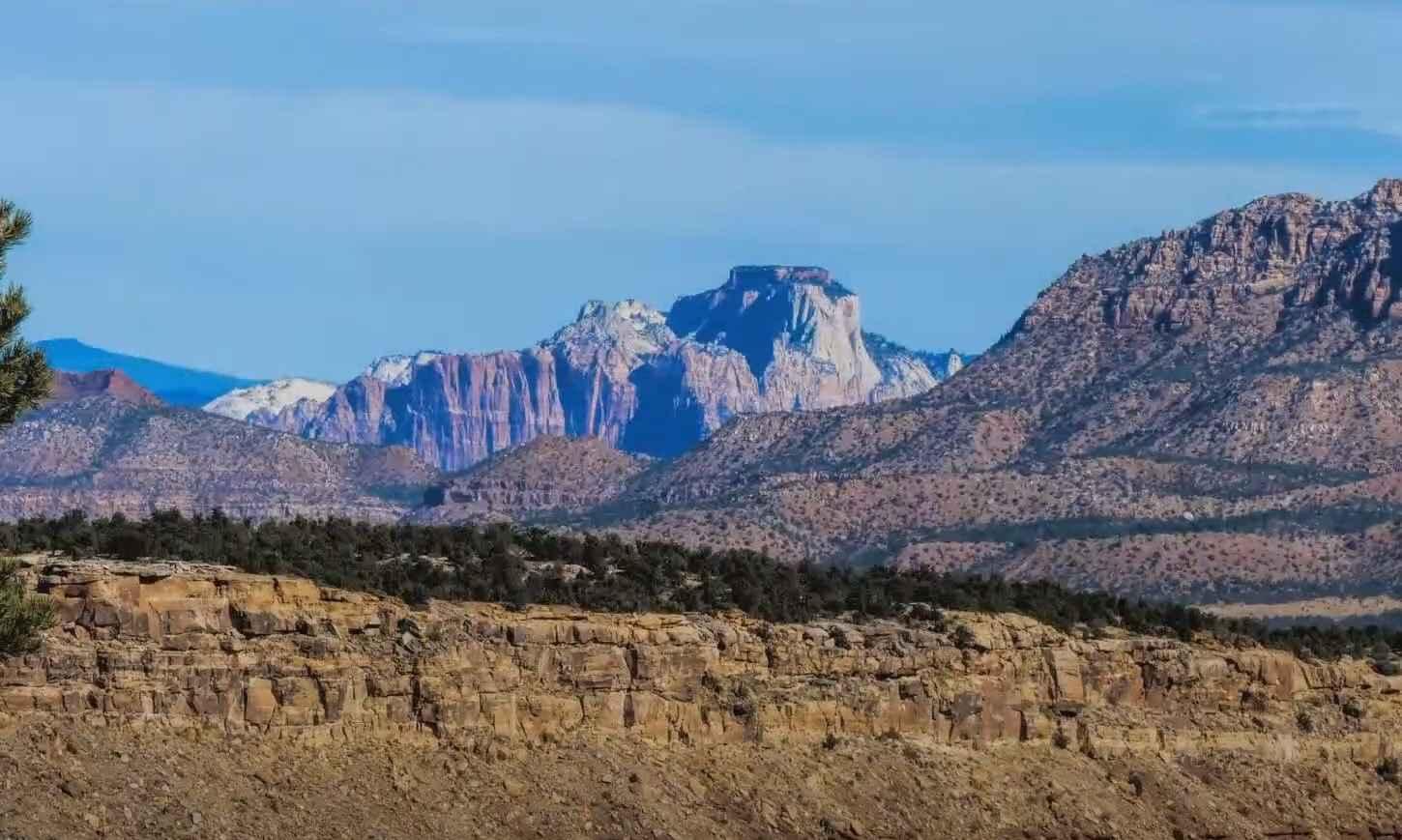
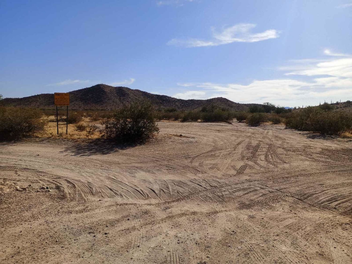
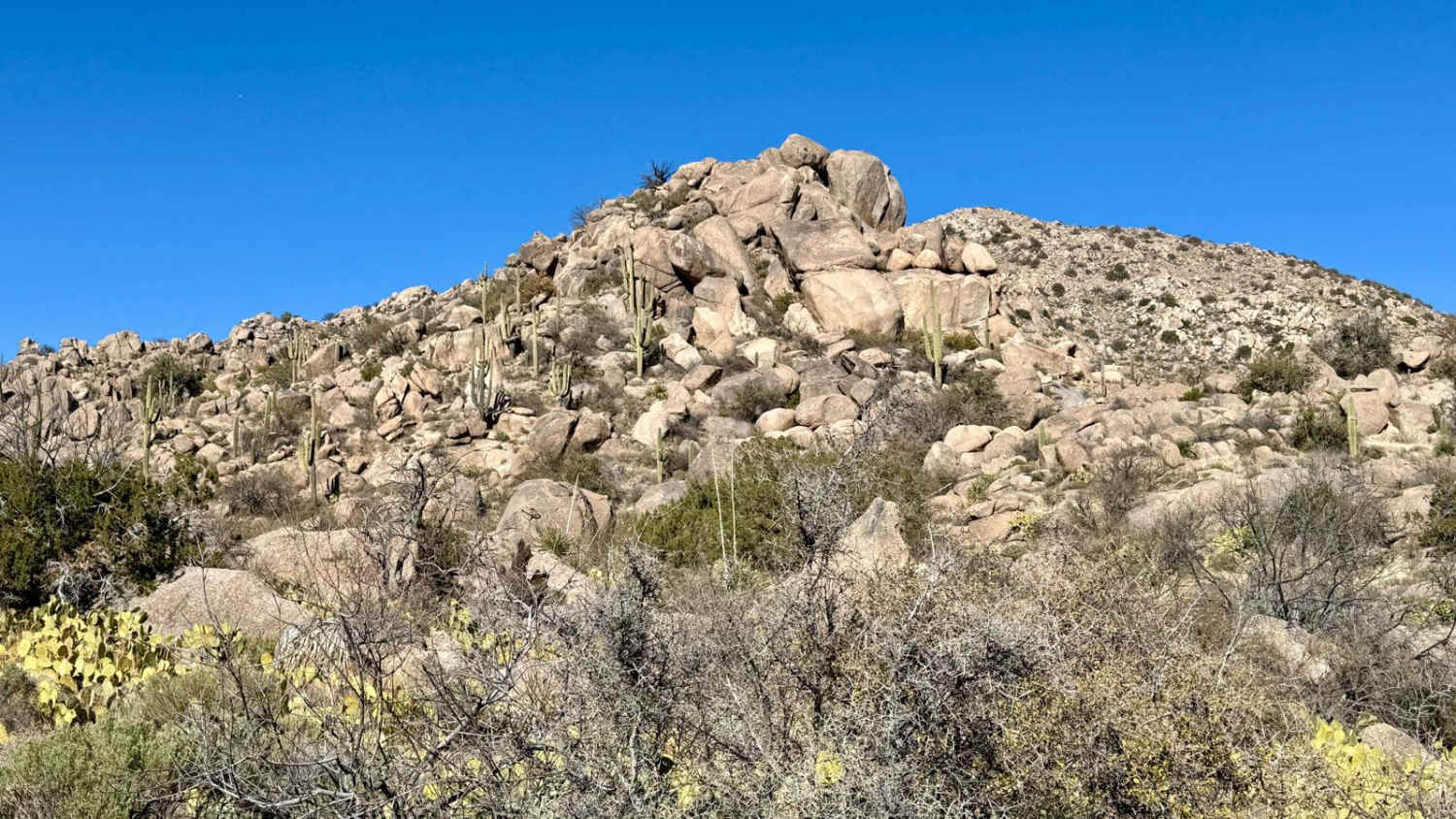
Trail Sa1068 is a point-to-point route running along a fence line and connecting Sa1069 and Sa1071 within the trail system. The trail is overgrown in sections, so pinstripes are likely, with possible light underbody contact. It offers scenic views of Mount Graham, as well as views of the nearby mine and Guthrie Mountain. The route crosses a wash and becomes more natural and less defined as it progresses, eventually ending at Sa1067. Despite the overgrowth, there are no major obstacles to navigate. High clearance 2WD and 4x4 vehicles are suitable for this trail in dry conditions. The trail is clearly marked with a natural rock berm in places, helping with navigation. Potential water hazards in bad weather. Travel is not advised during rain due to flash flood risk. Located in a potential flash flood area--use caution during storm conditions.
Photos of Sa1068


Difficulty
This trail is suitable for two-wheel drive vehicles with high clearance. A few small ruts are present but are generally manageable in most conditions.
Status Reports
Sa1068 can be accessed by the following ride types:
- High-Clearance 4x4
- SUV
- SxS (60")
- ATV (50")
- Dirt Bike
Sa1068 Map
Popular Trails
Lost Spring Mesa BLM 2100
Desert Valley BLM Inlet
Miller Wash to the Lumpy Rocks

The onX Offroad Difference
onX Offroad combines trail photos, descriptions, difficulty ratings, width restrictions, seasonality, and more in a user-friendly interface. Available on all devices, with offline access and full compatibility with CarPlay and Android Auto. Discover what you’re missing today!