Sa1003
Total Miles
1.0
Technical Rating
Best Time
Spring, Summer, Fall, Winter
Trail Type
Full-Width Road
Accessible By
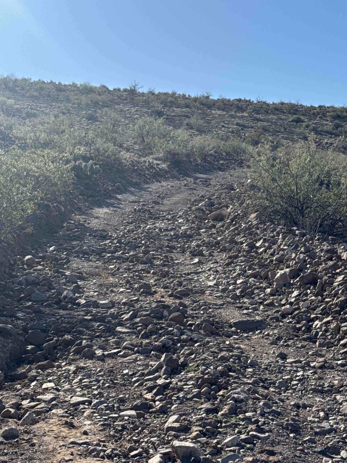
Trail Overview
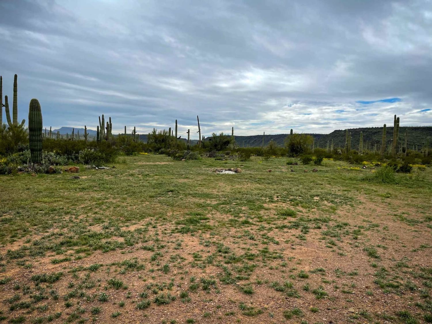
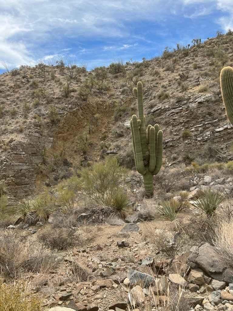
Sa1003 Trail is a point-to-point connector trail that links to unmapped wash trails. The route is mostly on BLM land, but does pass through a small section of State Trust land; a permit is required for that portion. The trail is a rocky gravel road, wide enough for a full-size vehicle, with rocky berms on both sides. High-clearance 2WD is accessible, though conditions can vary. The trail crosses a wash and may be washed out or become impassable after rain or during bad weather. At the end of the trail, there are established camp rings, and it connects to a wash and additional unmapped trail sections. The surrounding desert landscape features creosote bushes, ocotillo, and various cacti. Cattle may be present along the route.
Photos of Sa1003

Difficulty
There are loose rocks along this trail, with several step grades.
History
These trails were working roads in the late 1800s as wagon routes, livestock paths, and access roads for early settlers, ranchers, and farmers in the Gila River Valley. Now turned forgotten corridors, they were discovered long ago, but still used quietly.
Status Reports
Sa1003 can be accessed by the following ride types:
- High-Clearance 4x4
- SUV
- SxS (60")
- ATV (50")
- Dirt Bike
Sa1003 Map
Popular Trails

Pipeline to I-10
Jackrabbit Trail

Cow Creek Ridge
Jupiter Mine
The onX Offroad Difference
onX Offroad combines trail photos, descriptions, difficulty ratings, width restrictions, seasonality, and more in a user-friendly interface. Available on all devices, with offline access and full compatibility with CarPlay and Android Auto. Discover what you’re missing today!