Sa1001
Total Miles
2.5
Technical Rating
Best Time
Spring, Summer, Fall, Winter
Trail Type
Full-Width Road
Accessible By
Trail Overview
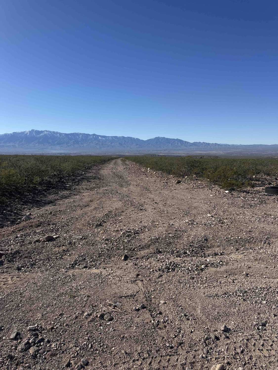
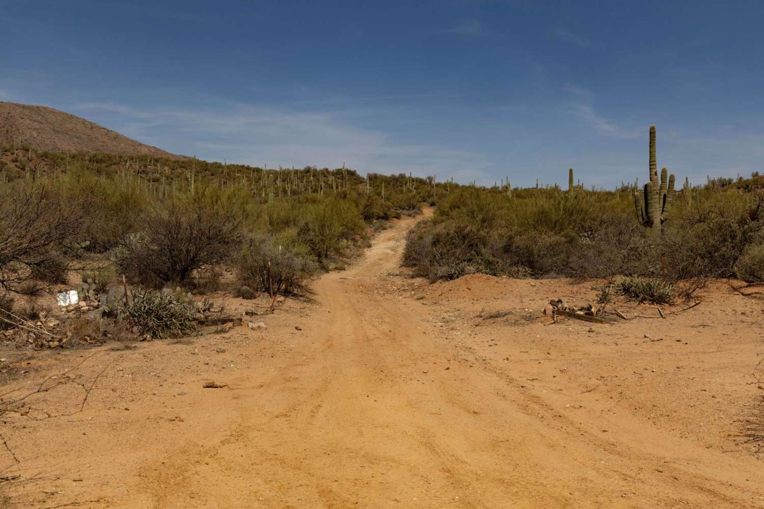
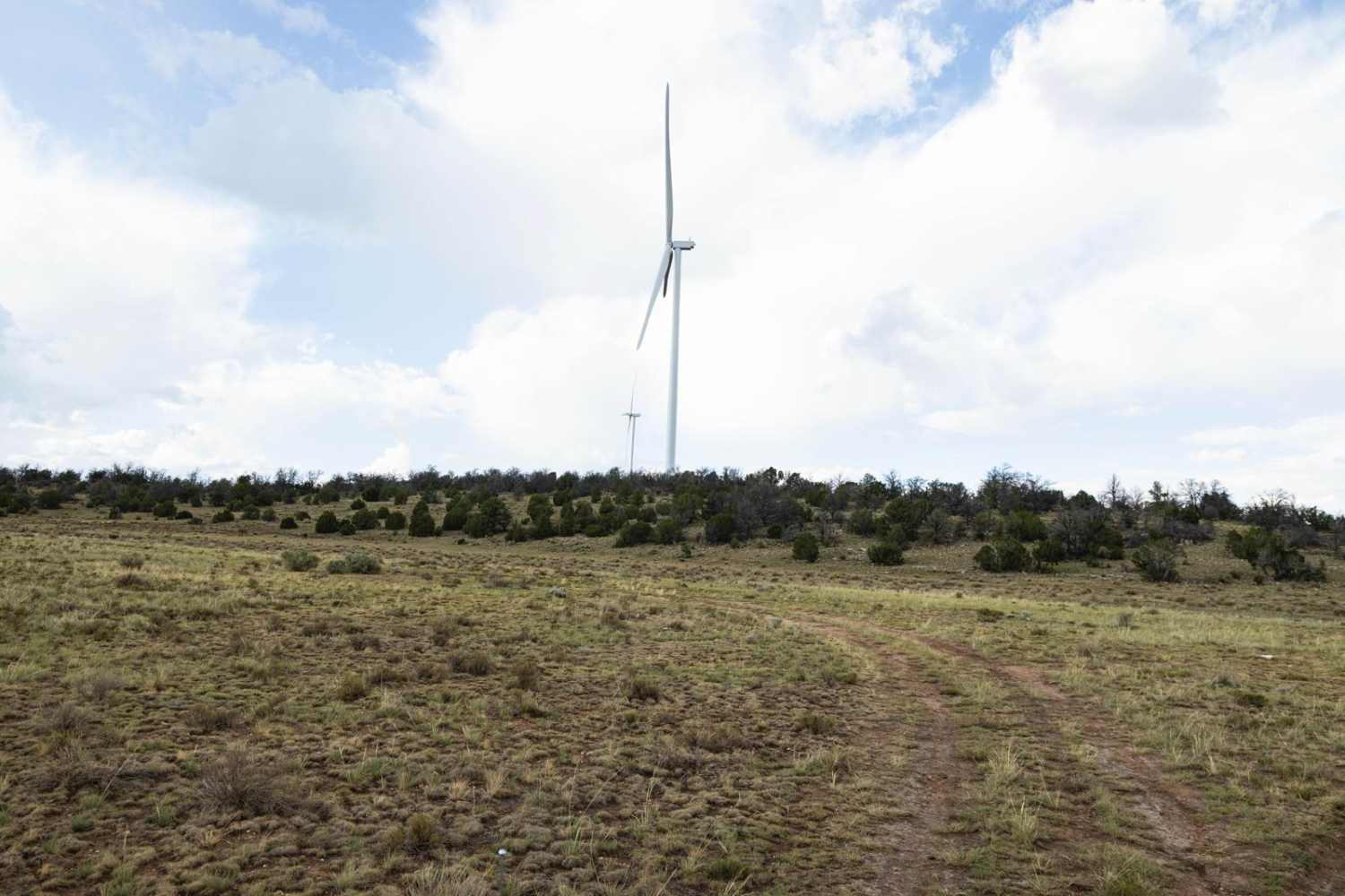
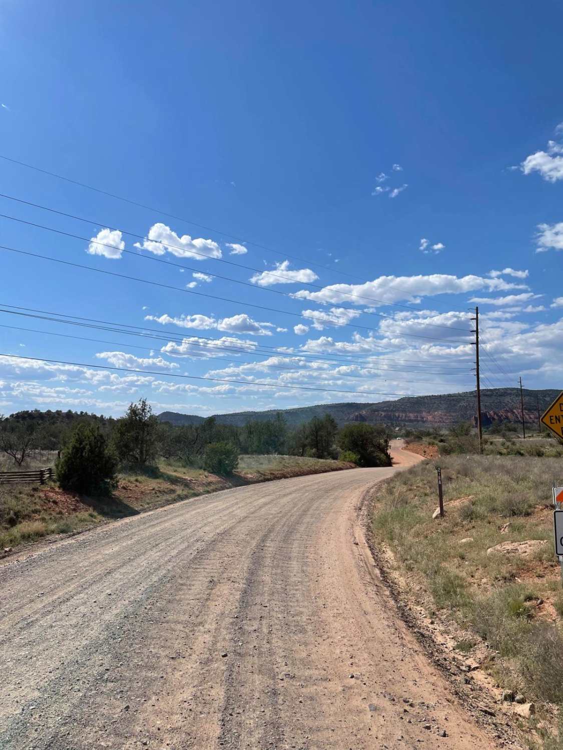
Sa1001 is a connector trail linking Fh1099 and Sa1004 at the top and bottom. This rocky route is wide enough for a full-size 4x4 but is not recommended for low-clearance vehicles. The trail may become impassable in bad weather. It offers beautiful views of Mount Graham in the Coronado National Forest. The surrounding landscape is dominated by desert creosote. The road is rocky and rutted and passes through State Trust land, where a permit is required. There is evidence of old mining activity in the area. While it is an excellent beginner trail, some overgrown vegetation may cause light pinstriping. At the bottom of the wash, there is a small washed-out obstacle that could worsen over time and eventually become impassable.
Photos of Sa1001

Difficulty
The wash obstacle is washed out with a 12-inch rutted washed-out area, followed by a rutted, rocky, steep hill climb back out.
History
These trails were working roads in the late 1800s as wagon routes, livestock paths, and access roads for early settlers, ranchers, and farmers in the Gila River Valley. Now turned forgotten corridors, they were discovered long ago, but are still used quietly.
Status Reports
Sa1001 can be accessed by the following ride types:
- High-Clearance 4x4
- SUV
- SxS (60")
- ATV (50")
- Dirt Bike
Sa1001 Map
Popular Trails

Alternative Access to Cathedral Rock
The onX Offroad Difference
onX Offroad combines trail photos, descriptions, difficulty ratings, width restrictions, seasonality, and more in a user-friendly interface. Available on all devices, with offline access and full compatibility with CarPlay and Android Auto. Discover what you’re missing today!