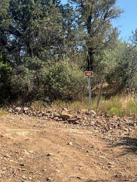
Rock Creek - FS 442
Total Miles
4.0
Technical Rating
Best Time
Spring, Summer, Fall, Winter
Trail Type
Full-Width Road
Accessible By
Trail Overview
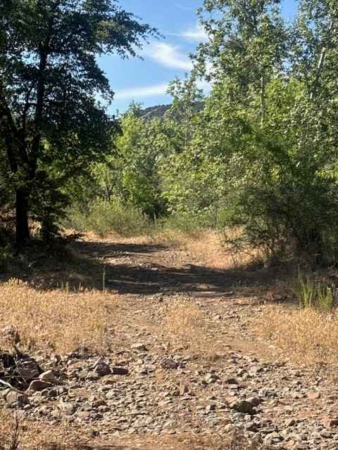
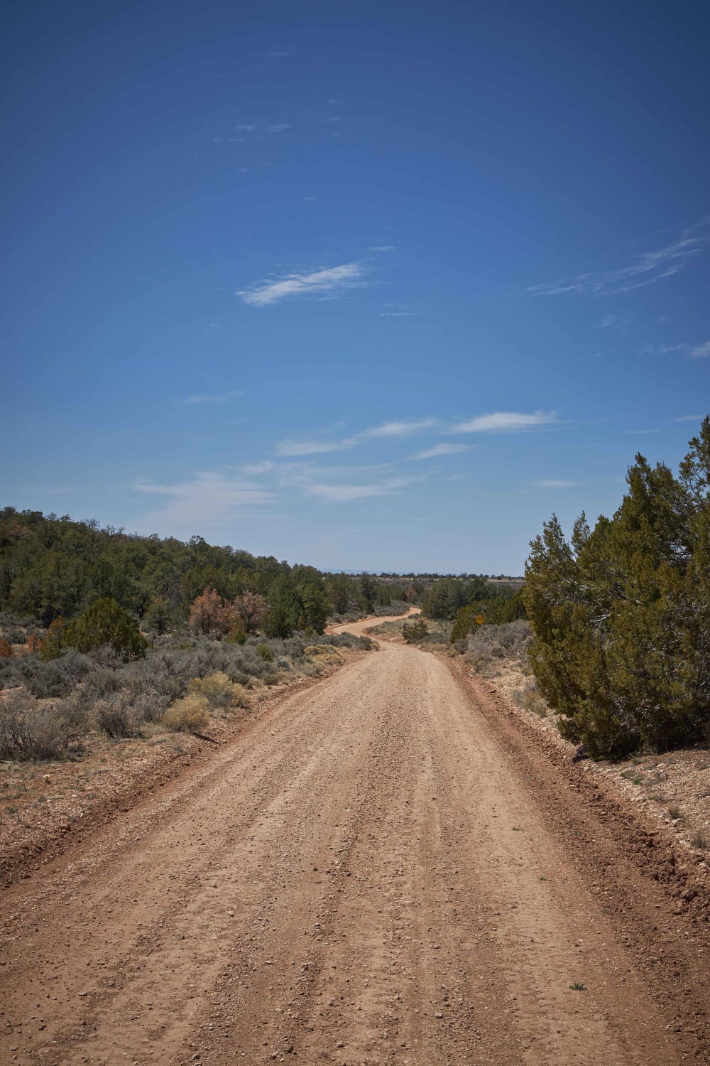
Trail 442 (Rock Creek Road) begins off Trail 414 / Rye Cypress Road and is primarily an out-and-back route, although it does connect to several other spur trails throughout the area. The trail starts as a rocky gravel two-track winding through classic central Arizona high desert terrain filled with creosote, juniper, and prickly pear cactus. A cattle guard crossing appears shortly after the start, so be alert for free-range livestock throughout the area. The route offers beautiful views of Boyd Mountain to the southwest, along with several dispersed camping opportunities scattered throughout the surrounding hills. Conditions are generally mild with no major obstacles or technical sections, making this trail accessible to most 2WD and 4WD vehicles in dry weather. In spring and early summer, the area becomes exceptionally green with thick vegetation and colorful desert growth. Although the trail is typically well-maintained, weather conditions can quickly change trail quality. Always use caution around creek and wash crossings, especially after storms or during monsoon season. At the primary wash crossing, larger rocks have been strategically placed to create an easier crossing point that is normally passable for most vehicles unless flooding is present. As the trail approaches the Rock Creek Trailhead, the landscape changes noticeably with larger sycamore trees and Arizona white oaks creating a shaded environment. At the Y intersection near the end, left leads to the Rock Creek Trailhead, and this trail continues to the right a short distance, eventually transitioning into the access road leading toward the historic Collom Mine The road ultimately dead-ends near the historic Collom Mine area, which makes for a great shaded lunch spot surrounded by trees and creek-side vegetation.
Photos of Rock Creek - FS 442
Difficulty
Nothing technical, no obstacles, all creek crossings have a level rock grade passable in dry conditions by any vehicle.
History
The "Rock Creek Trailhead" most people refer to near Payson is actually the remote access point into the Mazatzal Wilderness southwest of town near Rye, Arizona. The trail climbs steeply through Rock Creek Canyon and connects to the Arizona Trail system
Status Reports
Rock Creek - FS 442 can be accessed by the following ride types:
- High-Clearance 4x4
- SUV
- SxS (60")
- ATV (50")
- Dirt Bike
Rock Creek - FS 442 Map
Popular Trails

Clark Airport Connector

Side Tracked 1
Donaldson Tank Old 306 Road
Ocotillo Adjacent Run
The onX Offroad Difference
onX Offroad combines trail photos, descriptions, difficulty ratings, width restrictions, seasonality, and more in a user-friendly interface. Available on all devices, with offline access and full compatibility with CarPlay and Android Auto. Discover what you’re missing today!