Ocotillo Adjacent Run
Total Miles
1.5
Technical Rating
Best Time
Spring, Fall, Winter
Trail Type
High-Clearance 4x4 Trail
Accessible By
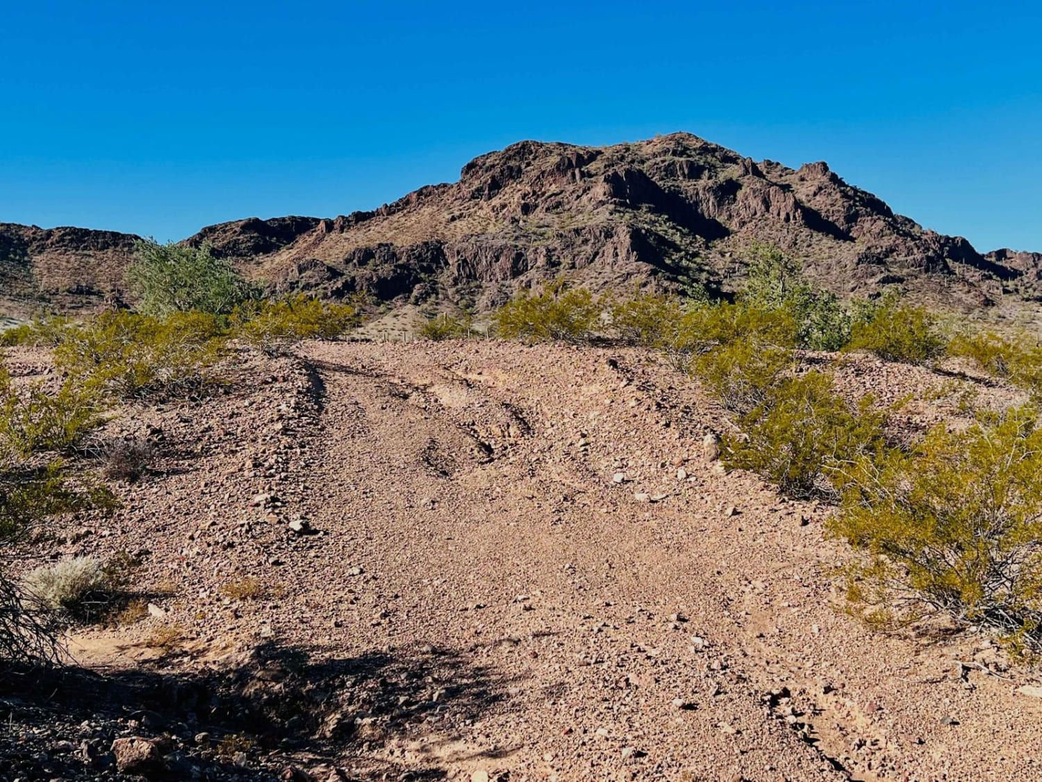
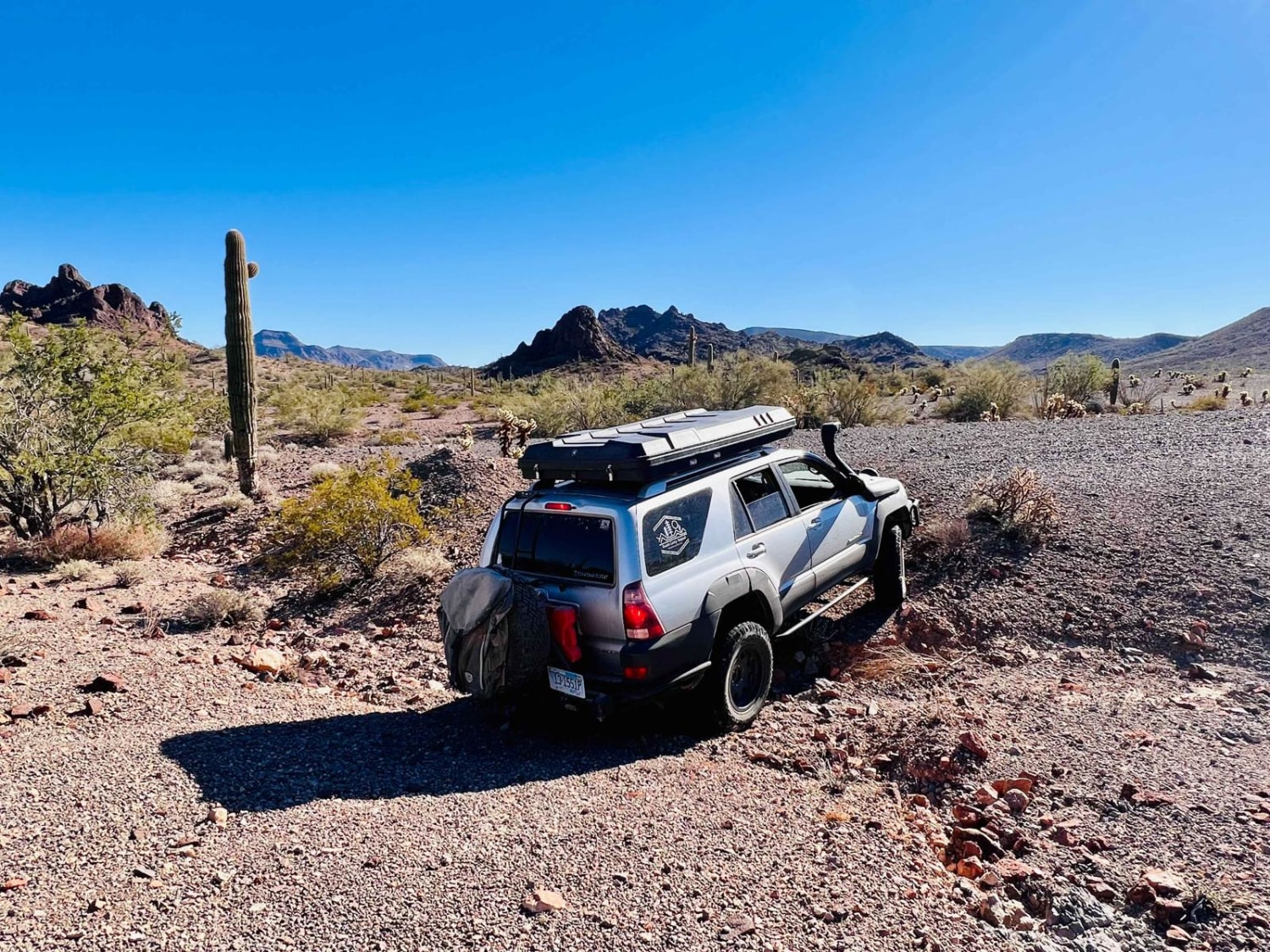
Trail Overview
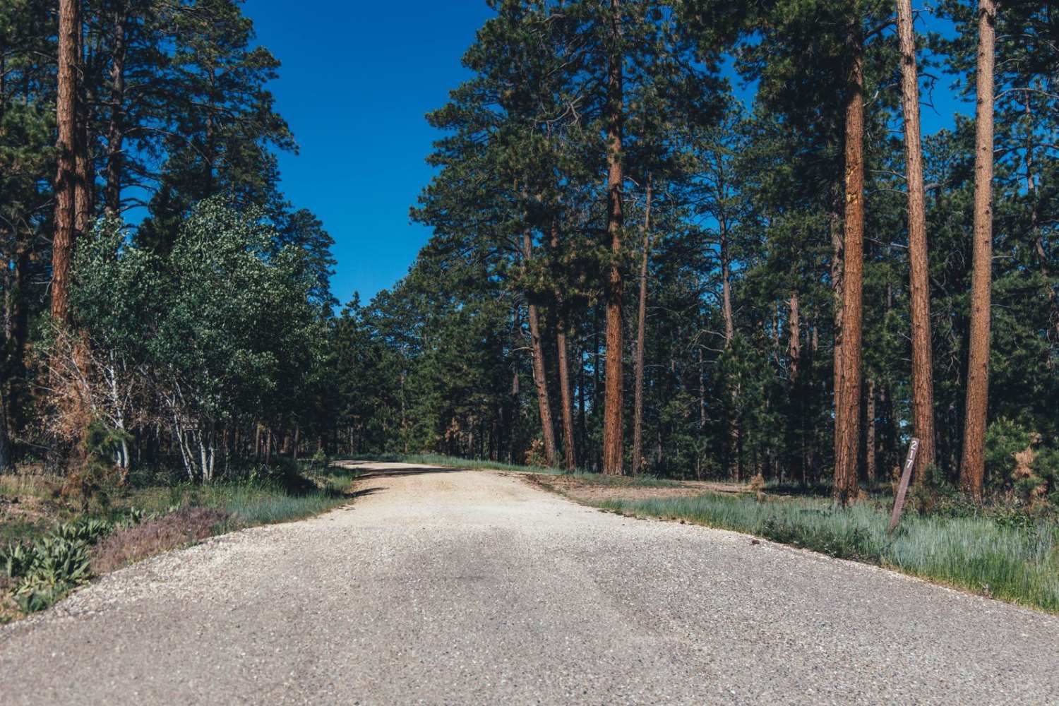
This is the route that connects up to the "Ocotillo Side Route" if traveling via Moto or ATV. Otherwise, you're taking the long way around. The section where the two trails "connect" is a strange desert jungle in a wash where some invasive vine appears to be claiming all the vegetation in the wash. It's a super narrow section to get through and very off-camber. The trail forks out near the end, and the right fork ends abruptly. The left fork becomes a more challenging trail with many steep transitions into and out of washes. There are boulders and narrow sections with some off-camber transitions. The trail ends at an old staked-off area that may have once been a mining claim. There's a small fire ring and a great camping spot with epic views. One bar of unusable Verizon LTE fades in and out.
Photos of Ocotillo Adjacent Run
Difficulty
This is easy until the end of the trail, where it becomes steeper and looser with deep wash crossings and small ledges.
Status Reports
Ocotillo Adjacent Run can be accessed by the following ride types:
- High-Clearance 4x4
- SxS (60")
- ATV (50")
- Dirt Bike
Ocotillo Adjacent Run Map
Popular Trails
Lower Oak Creek Access #2

Mud Puddle Lane
The onX Offroad Difference
onX Offroad combines trail photos, descriptions, difficulty ratings, width restrictions, seasonality, and more in a user-friendly interface. Available on all devices, with offline access and full compatibility with CarPlay and Android Auto. Discover what you’re missing today!