Road 9004M
Total Miles
4.9
Technical Rating
Best Time
Spring, Summer, Fall
Trail Type
Full-Width Road
Accessible By
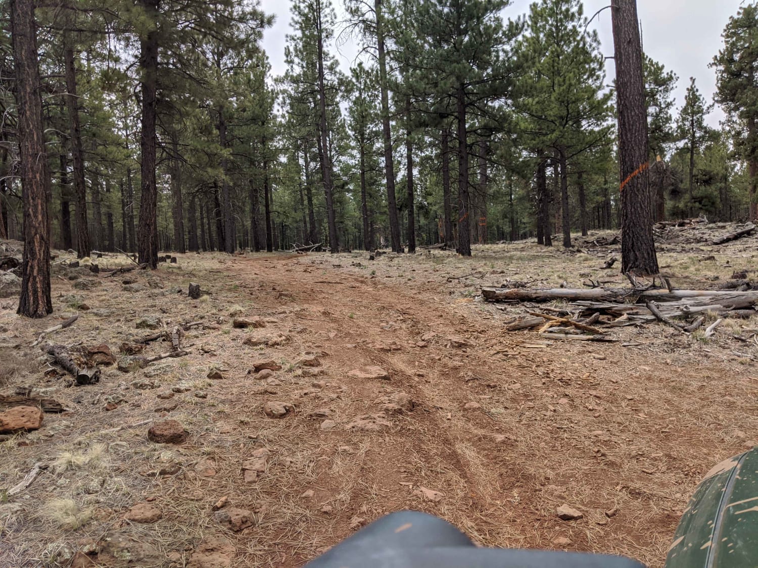
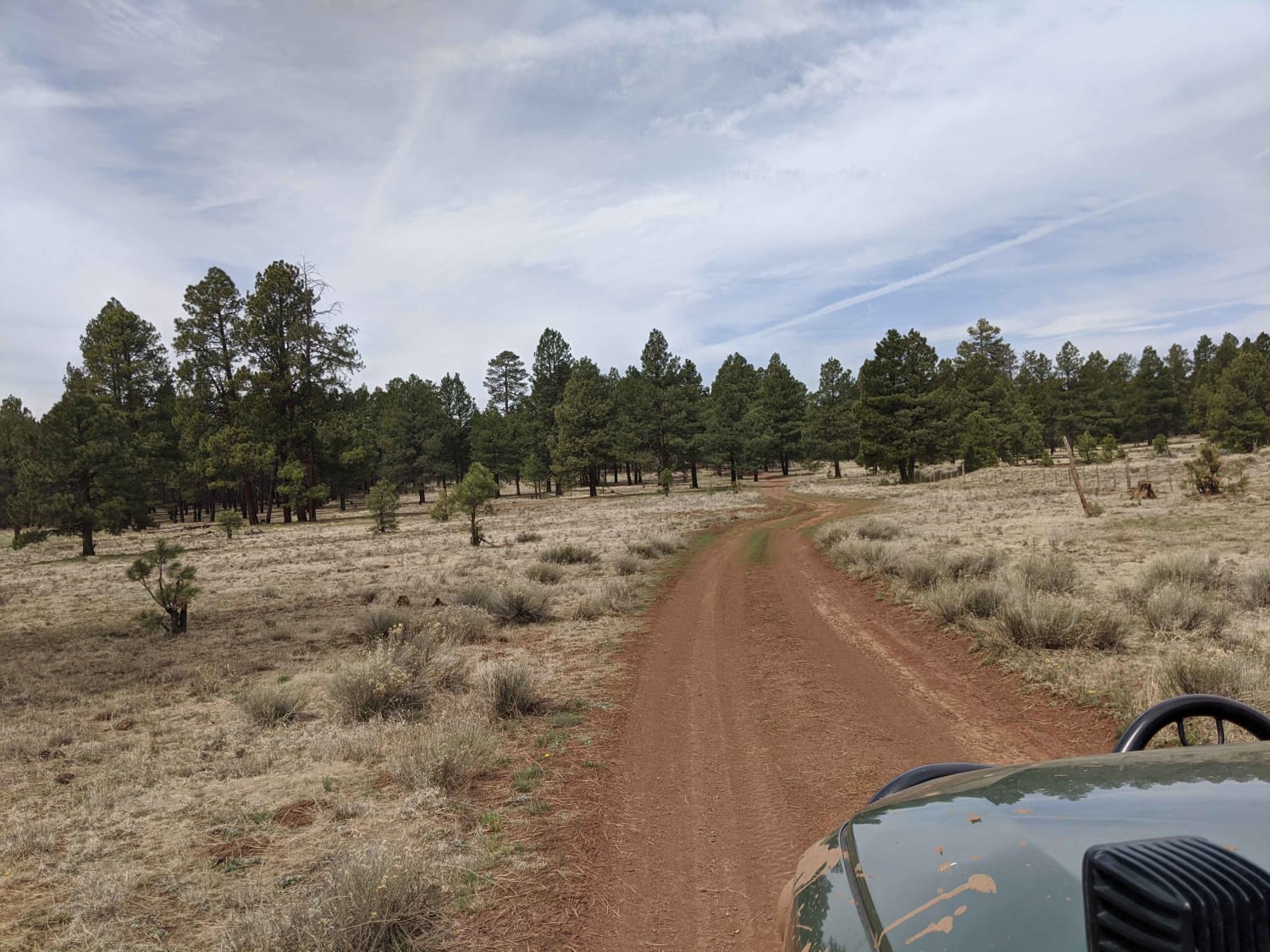
Trail Overview
This road is not winter maintained and can be very muddy when wet. Most of the road is flat; there is spotty cell phone service and camp spots along the way. Lots of big beautiful trees to enjoy, and opens up to a few big open pastures. It's an old road not traveled on regularly and is only one car length.
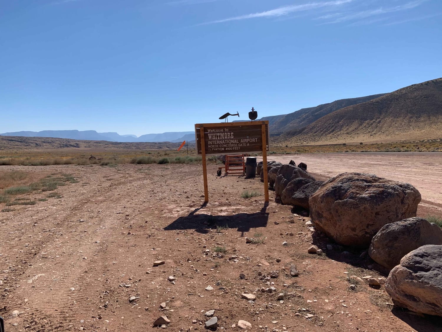
Photos of Road 9004M
Difficulty
Rocky, muddy
Status Reports
Road 9004M can be accessed by the following ride types:
- High-Clearance 4x4
- SUV
- SxS (60")
- ATV (50")
- Dirt Bike
Road 9004M Map
Popular Trails
Washed Out Hill
Skeleton Bones Trail

Pakoon Basin - BLM 1007
Whitmore Canyon Colorado River Overlook
The onX Offroad Difference
onX Offroad combines trail photos, descriptions, difficulty ratings, width restrictions, seasonality, and more in a user-friendly interface. Available on all devices, with offline access and full compatibility with CarPlay and Android Auto. Discover what you’re missing today!