Ridgeline Romp
Total Miles
1.4
Technical Rating
Best Time
Winter, Fall, Spring
Trail Type
High-Clearance 4x4 Trail
Accessible By
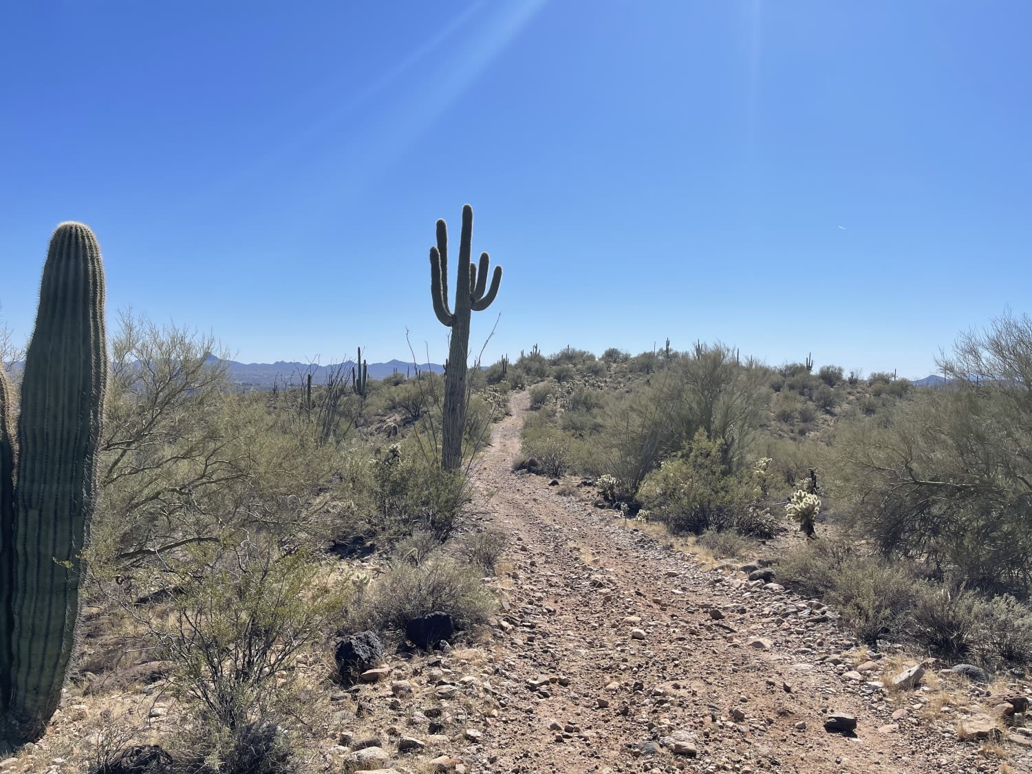
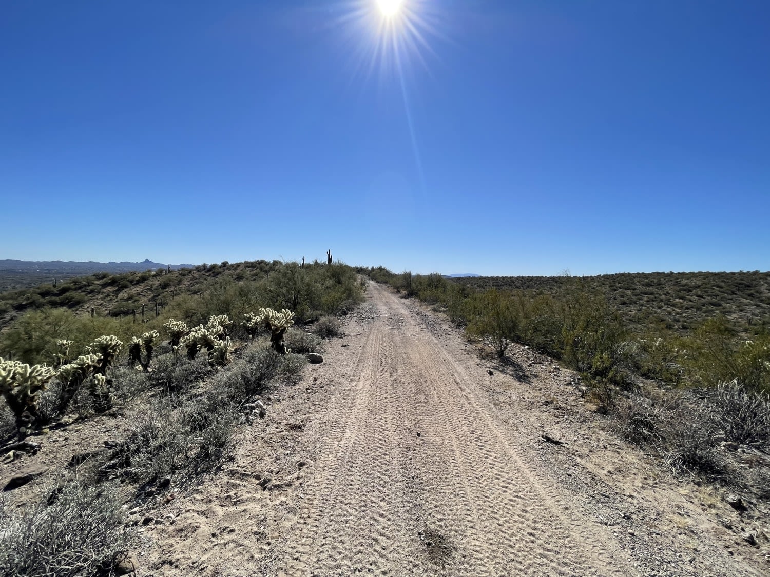
Trail Overview
This trail is a really nice romp along the ridgeline. There are sweet views of the valley below on both sides of the trail. There are a few fire rings and dispersed camping in the area, although the difficulty to access them may keep them available. The trail has a few difficult medium-length climbs in a combination of loose rocks and slick rock boulders that may pitch a full-size vehicle off-camber a bit. Keep an eye out for desert wildlife and paint damage possible from sharp desert trees along the narrow trail. 3 bars 5G this trail ends at the gate for a BLM mining claim with a decent-sized turnaround point.
Photos of Ridgeline Romp
Difficulty
Loose rocky hill climbs/descents with some Slickrock and off-camber sections and narrow trees.
Status Reports
Ridgeline Romp can be accessed by the following ride types:
- High-Clearance 4x4
- SxS (60")
- ATV (50")
- Dirt Bike
Ridgeline Romp Map
Popular Trails

Jam Ranch Cutthrough
Winding Connection
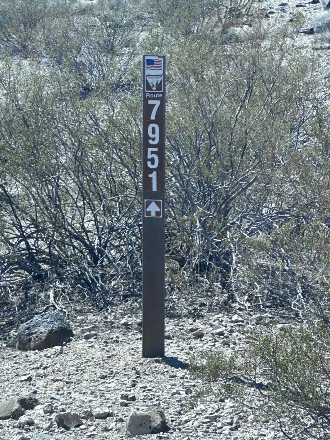
BLM Route 7951
The onX Offroad Difference
onX Offroad combines trail photos, descriptions, difficulty ratings, width restrictions, seasonality, and more in a user-friendly interface. Available on all devices, with offline access and full compatibility with CarPlay and Android Auto. Discover what you’re missing today!