Richinbar Mine
Total Miles
1.6
Technical Rating
Best Time
Spring, Summer, Winter, Fall
Trail Type
Full-Width Road
Accessible By
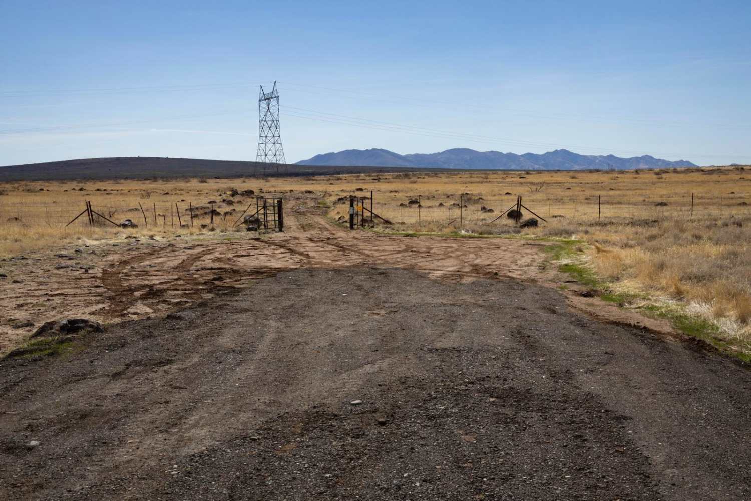
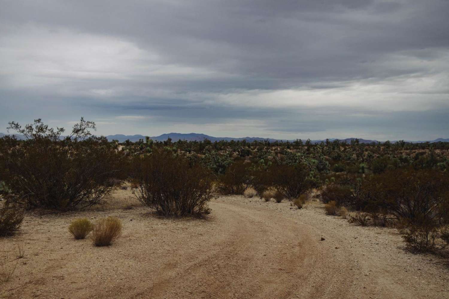
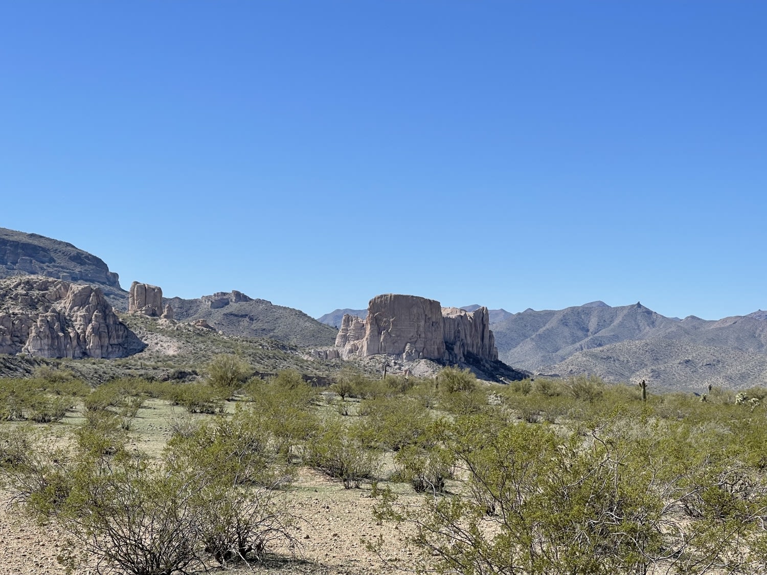
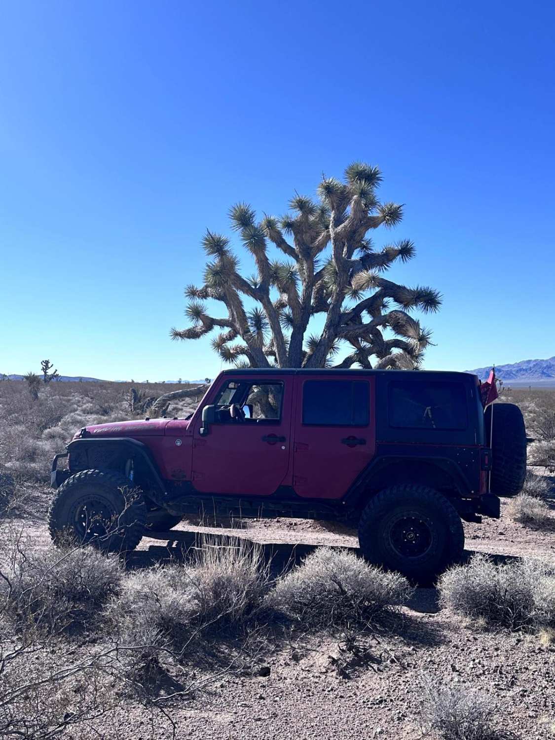
Trail Overview
Richinbar Mine Trail is a narrow, rocky route that follows a shelf road before opening into pastureland. The rugged terrain requires careful navigation, especially along exposed sections. The trail leads to the historic Richinbar Mine, where remnants of the past remain scattered across the landscape. Several campsites await at the end, providing a scenic and remote spot to settle in. This is a mining area with several pits and deep holes that exist. Please use caution when exploring this area. There is no cell service in the area, so be sure to have offline maps before heading out.
Photos of Richinbar Mine

Difficulty
This is an unmaintained road to a mining area. Caution is urged as there are deep holes and pits, with little to no signage. This trail is mostly one lane, with some areas to pass and/or turn around. There is a shelf road section, but nothing too alarming.
Status Reports
Richinbar Mine can be accessed by the following ride types:
- High-Clearance 4x4
- SUV
- SxS (60")
- ATV (50")
- Dirt Bike
Richinbar Mine Map
Popular Trails

Sullivan Draw Road South - BLM 1040
Keeping Out of the Wash
BLM Route 7090
The onX Offroad Difference
onX Offroad combines trail photos, descriptions, difficulty ratings, width restrictions, seasonality, and more in a user-friendly interface. Available on all devices, with offline access and full compatibility with CarPlay and Android Auto. Discover what you’re missing today!