Red Bluff Ridge
Total Miles
1.4
Technical Rating
Best Time
Winter, Spring, Fall
Trail Type
50" Trail
Accessible By
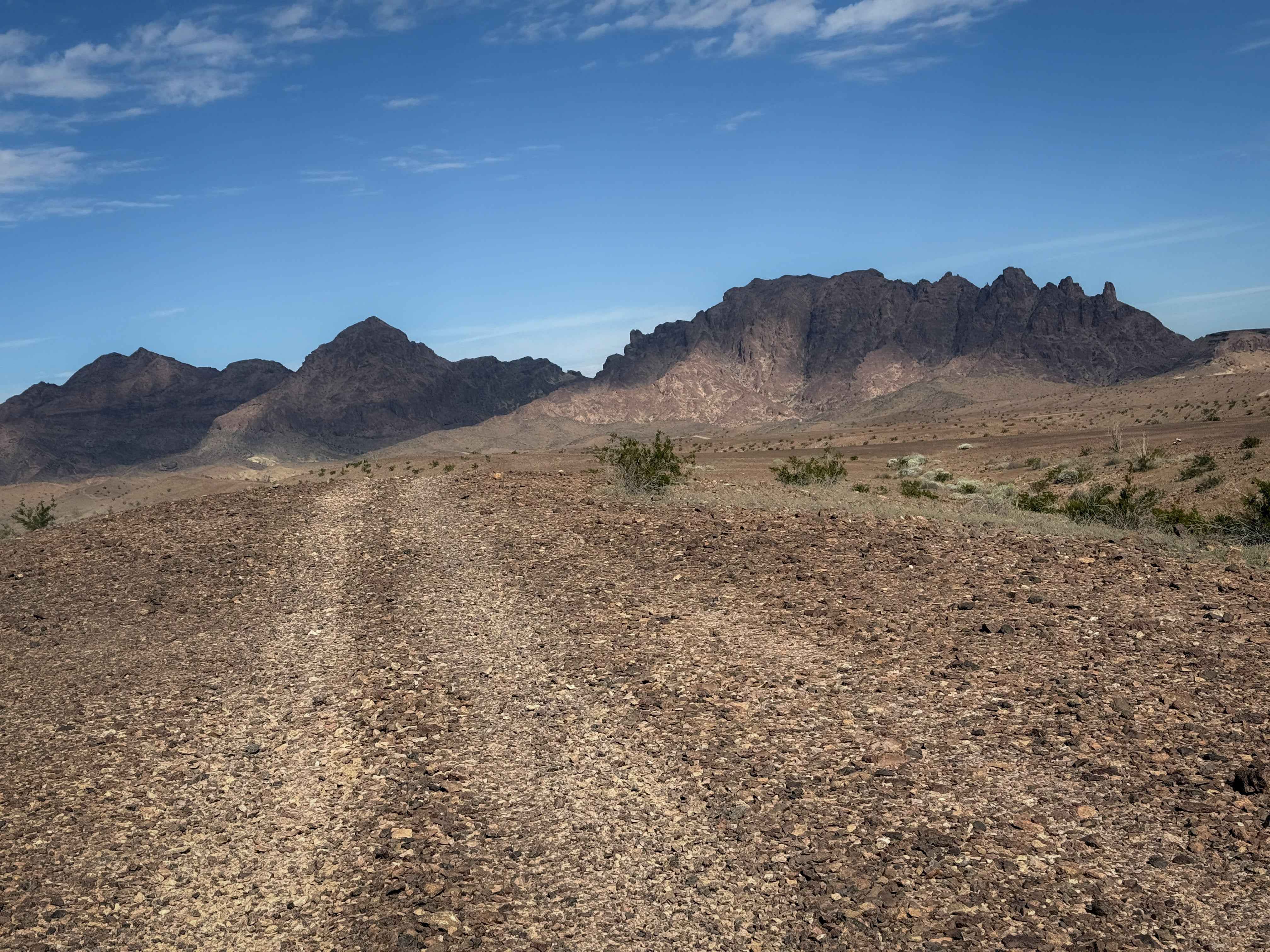
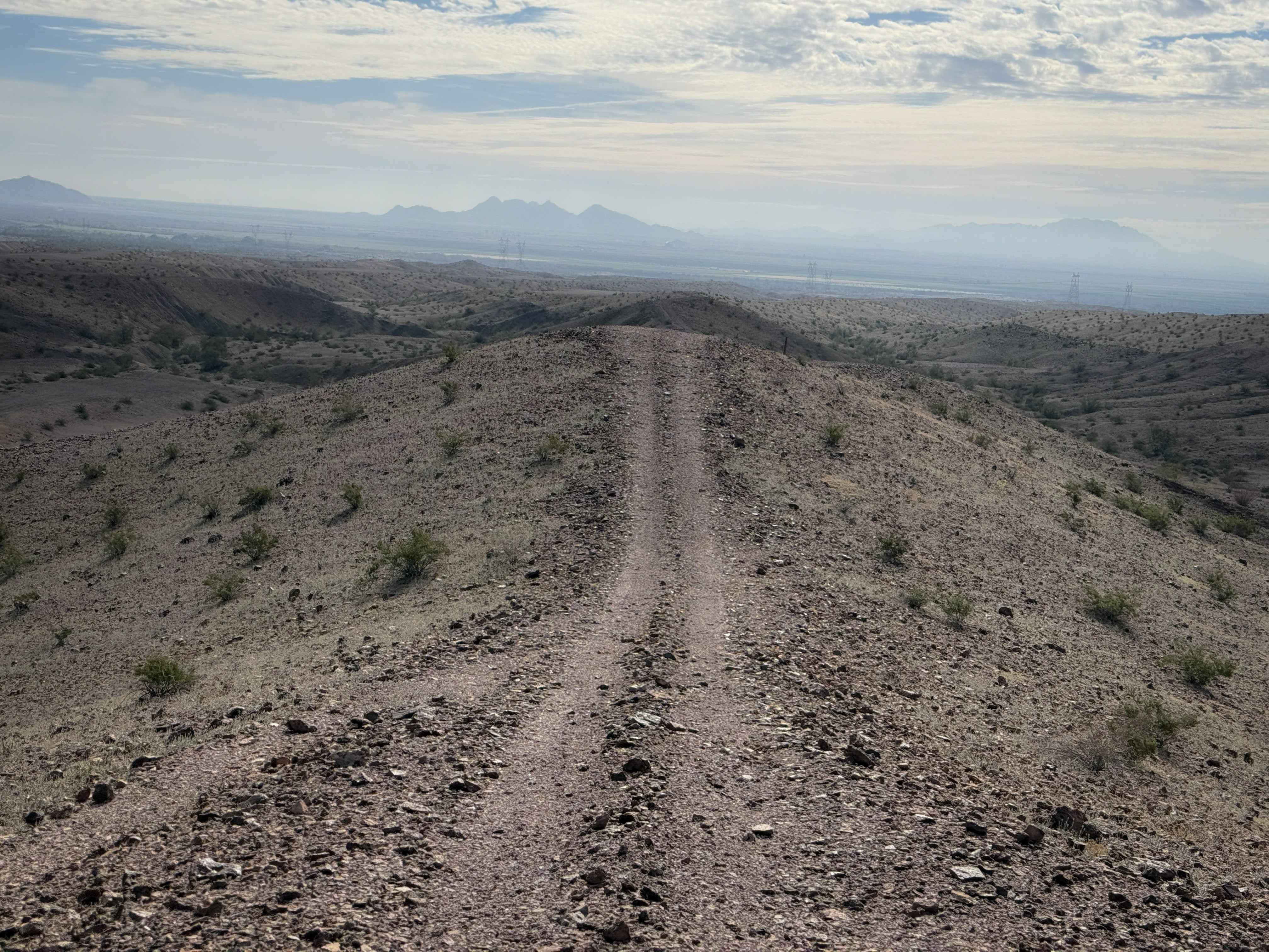
Trail Overview
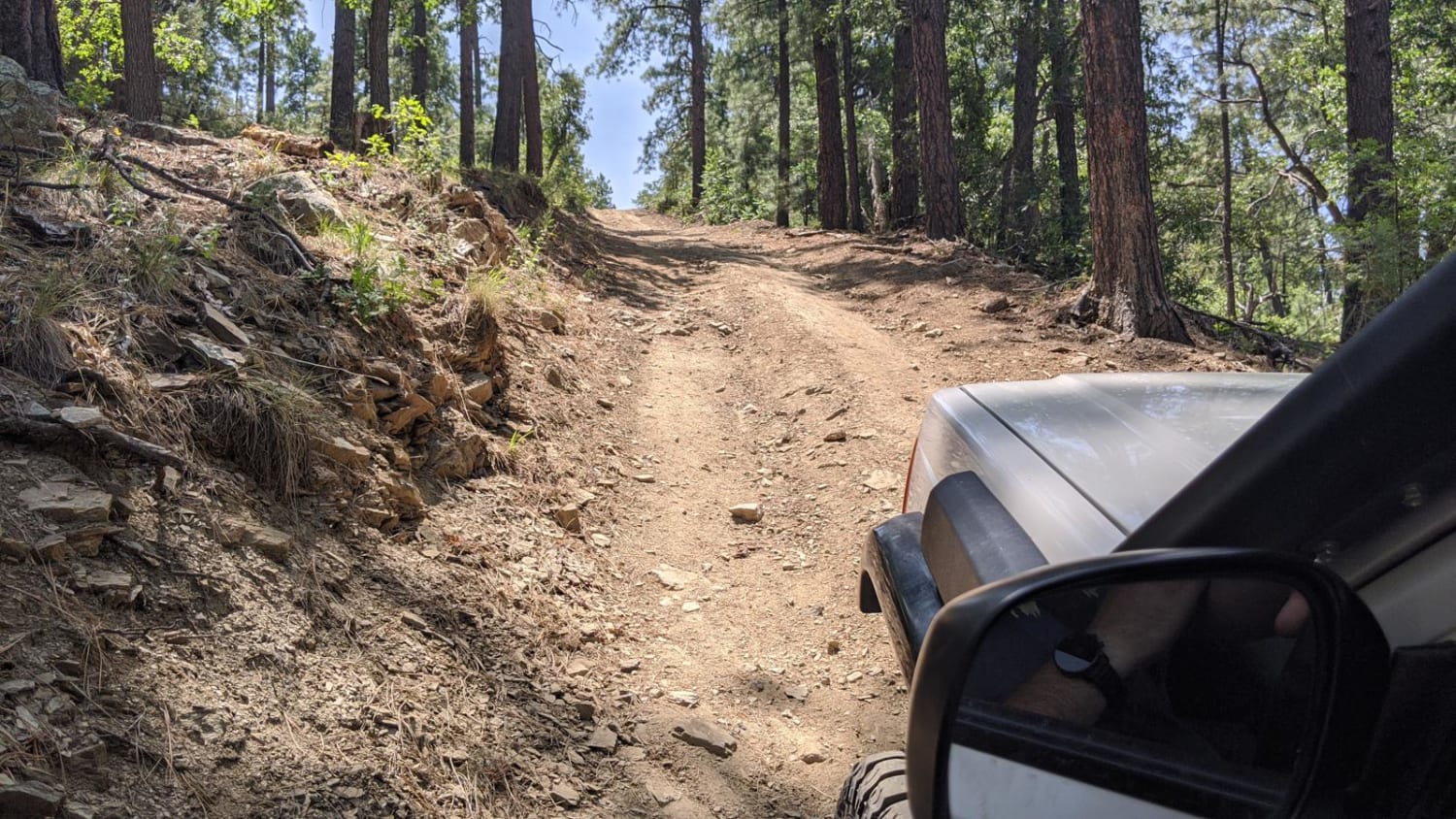
This is an easy and scenic trail through the BLM land north of Wellton, Arizona. The north end starts on a ridge line on a rugged hilltop right next to the edge of the hill. It rides a narrow spine as it descends, gradually dropping a couple of hundred feet in elevation along the spine. There are frequent rock stacks with a wood post to help mark the route, although it is easy to see the tracks along the ridge line. It continues on a smaller elevated ridge above a ravine until it drops down to the valley floor near some powerlines, and ends on a primitive dirt road.
Photos of Red Bluff Ridge
Difficulty
This is an overall easy trail because it is very gradual, although it has mild exposure on the north end when it is on top of the ridge line. It is ideal for riders of all skill levels who can use caution on the ridge.
Status Reports
Red Bluff Ridge can be accessed by the following ride types:
- ATV (50")
- Dirt Bike
Red Bluff Ridge Map
Popular Trails

Big Bug Mesa Outlook
Mormon Mountain
Bannie and Amulet Mine
The onX Offroad Difference
onX Offroad combines trail photos, descriptions, difficulty ratings, width restrictions, seasonality, and more in a user-friendly interface. Available on all devices, with offline access and full compatibility with CarPlay and Android Auto. Discover what you’re missing today!