Powerline Trail
Total Miles
2.5
Technical Rating
Best Time
Spring, Fall, Winter
Trail Type
Full-Width Road
Accessible By
Trail Overview
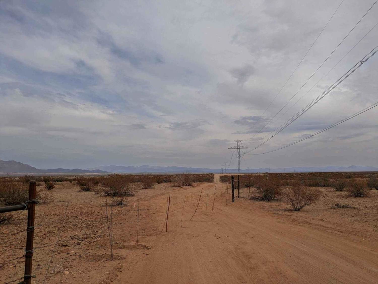
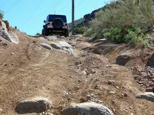
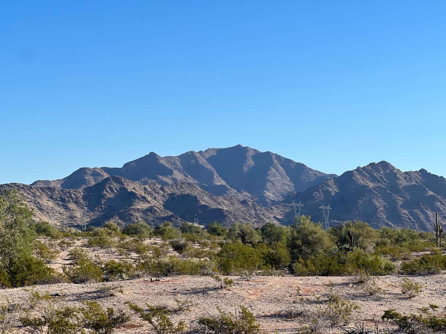
The Powerline Trail is a relatively straight route that follows the path of overhead powerlines and, as of March 26, 2025, is in maintained condition. Large cleared areas are found beneath each powerline tower, suggesting ongoing infrastructure work along the corridor. The trail includes a few dips and washes, and as you travel farther in, off-camber sections and deep bull dust become more common--especially challenging during or after rainfall. Beyond a barbed wire gate, the trail deteriorates significantly, beginning with a steep, dust-covered descent followed by an extended stretch of deep bull dust that can quickly coat a vehicle and may prove difficult for smaller or less capable rigs. While the trail offers expansive views, it lacks any amenities such as water or trash disposal. Cell reception is limited, and there are no opportunities for dispersed camping along the route.
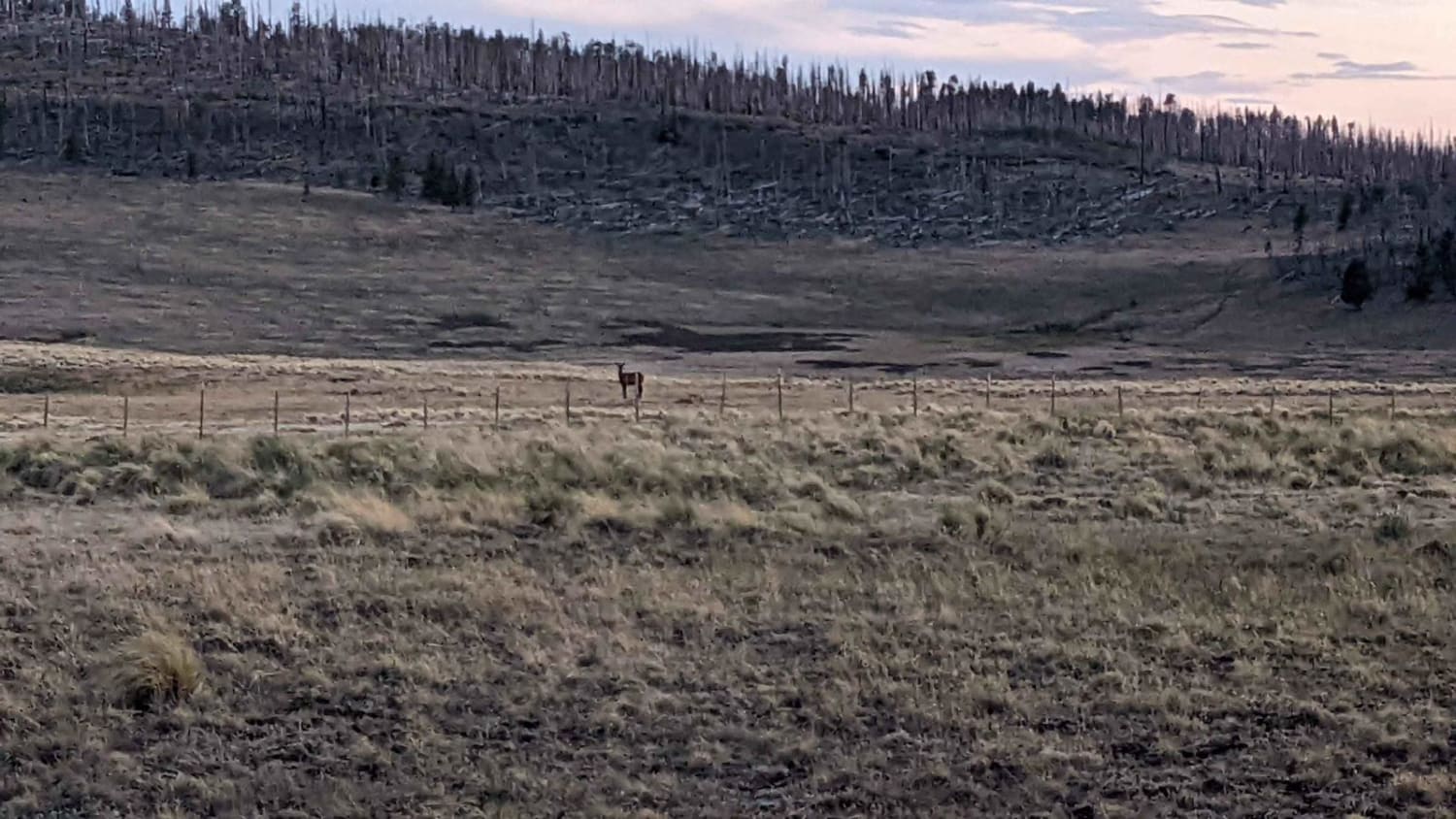
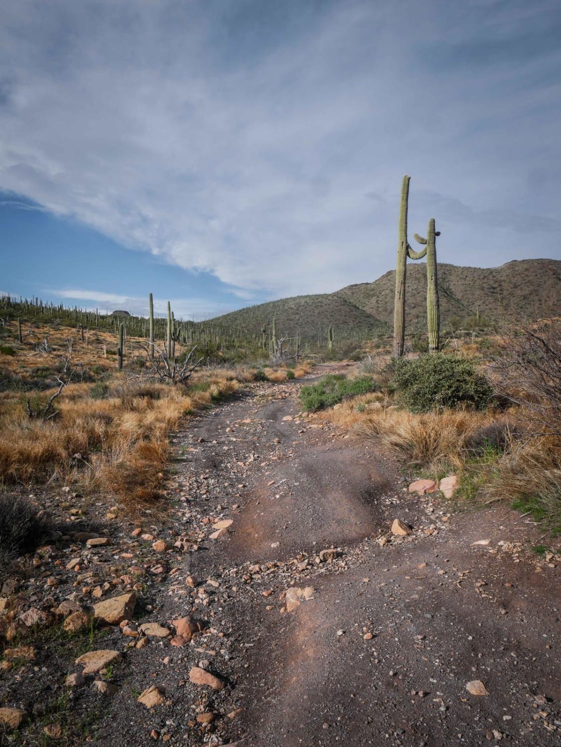
Photos of Powerline Trail

Difficulty
This trail is easy and maintained for the first section of the trail but then it becomes a bit more adventurous.
History
Around two million years ago, a shallow lake covered what is now southeastern Arizona. As the lake dried up, its sandy shores were shaped by wind into the dunes that define today's Hot Well Dunes Recreation Area. In the late 1920s, while drilling for oil in the San Simon Valley, workers unexpectedly struck geothermal water. The resulting artesian well still produces over 250 gallons per minute at a temperature of 106 degrees Fahrenheit. Today, the Hot Well Dunes Recreation Area spans 2,000 acres of BLM-managed sand dunes, offering off-highway vehicle recreation, camping, and soaking in natural hot tubs fed by the artesian spring.
Status Reports
Powerline Trail can be accessed by the following ride types:
- High-Clearance 4x4
- SUV
- SxS (60")
- ATV (50")
- Dirt Bike
Powerline Trail Map
Popular Trails
Escudilla Mountain
King Well 497
Two Bar Ridge
Margie's Cove Trail
The onX Offroad Difference
onX Offroad combines trail photos, descriptions, difficulty ratings, width restrictions, seasonality, and more in a user-friendly interface. Available on all devices, with offline access and full compatibility with CarPlay and Android Auto. Discover what you’re missing today!