Pipeline Road - EC1294
Total Miles
9.1
Technical Rating
Best Time
Spring, Fall, Winter
Trail Type
Full-Width Road
Accessible By
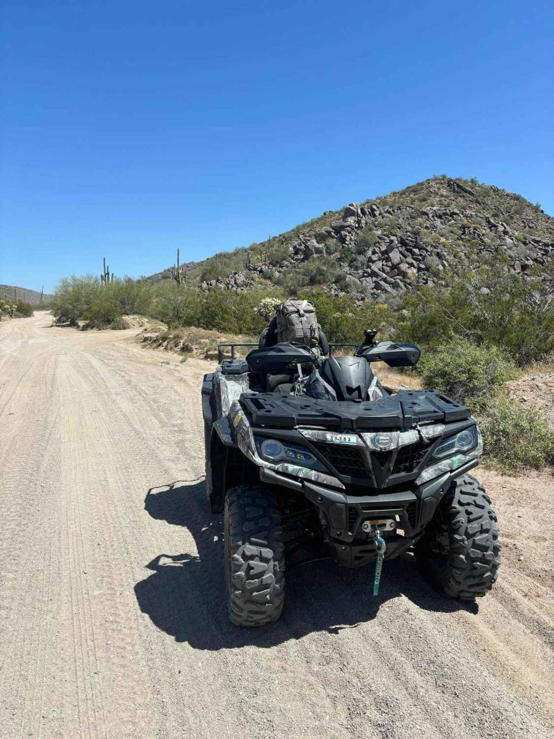
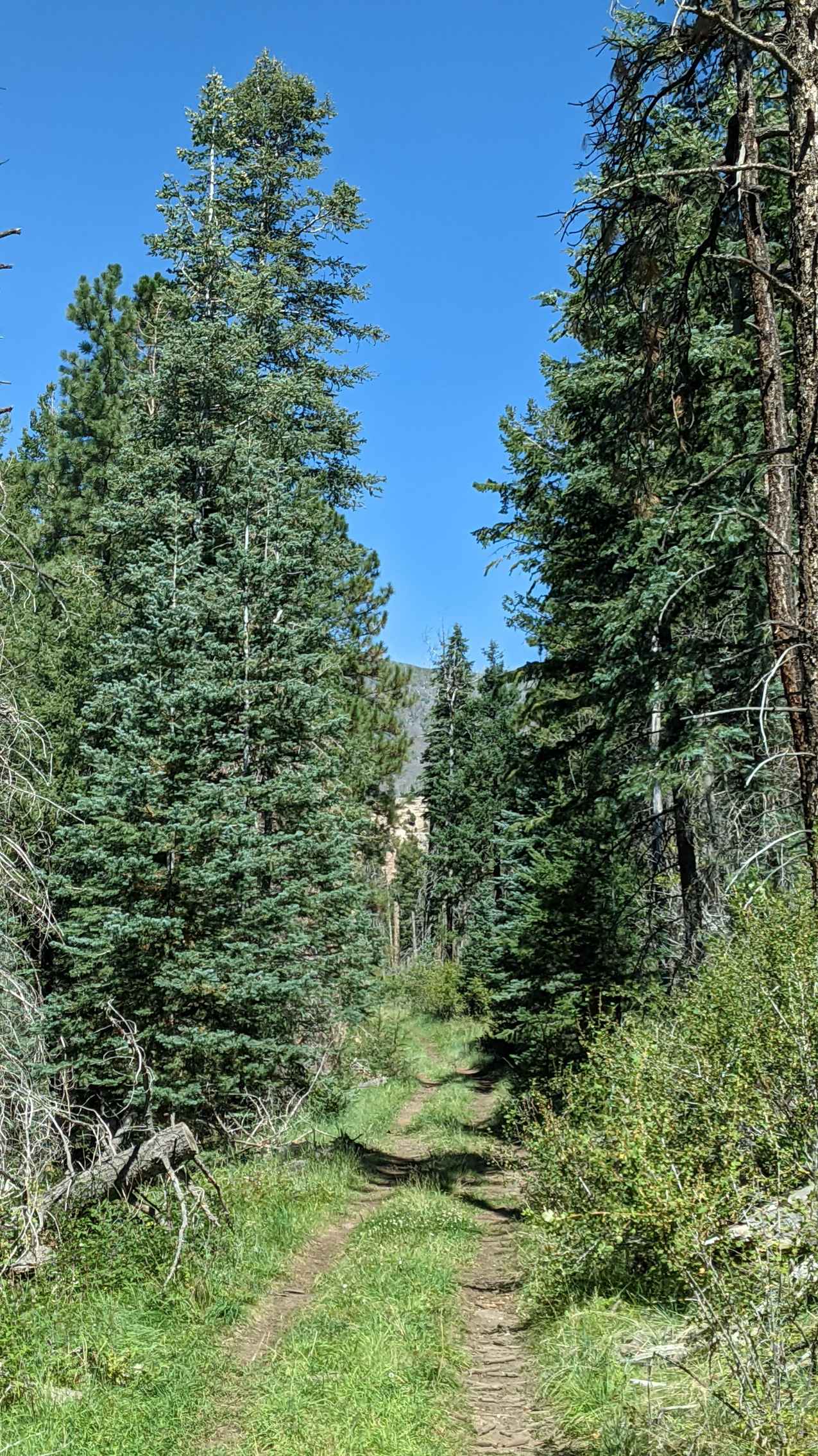
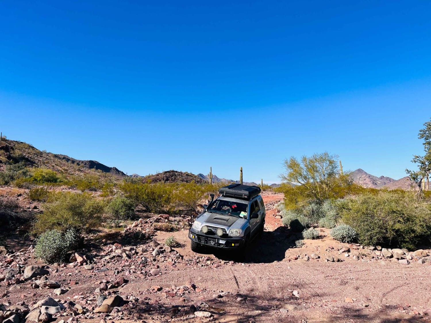
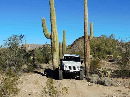
Trail Overview
Be advised before beginning: This trail does cross CRIT (Colorado River Indian Tribes) land and, as such, requires their permit, which can be purchased at Fish and Game in Parker, Arizona. The permit is good for 1 year. This is a great trail, with lots of vertical climbs and descents, and generally follows a gas pipeline and high transmission powerlines through the mountain pass. The scenery towards California to the west and towards Quartzite to the east is stunning.
Photos of Pipeline Road - EC1294


Difficulty
There are several steep inclines/descents that are short series of rock ledges.
History
Built originally as a maintenance access road while constructing a high-voltage powerline.
Status Reports
Pipeline Road - EC1294 can be accessed by the following ride types:
- High-Clearance 4x4
- SUV
- SxS (60")
- ATV (50")
- Dirt Bike
Pipeline Road - EC1294 Map
Popular Trails
North Picacho Mountains Loop
Paddy Creek
Cementosa Cutover
The onX Offroad Difference
onX Offroad combines trail photos, descriptions, difficulty ratings, width restrictions, seasonality, and more in a user-friendly interface. Available on all devices, with offline access and full compatibility with CarPlay and Android Auto. Discover what you’re missing today!