O'Leary Peak Loop
Total Miles
14.3
Technical Rating
Best Time
Summer
Trail Type
Full-Width Road
Accessible By
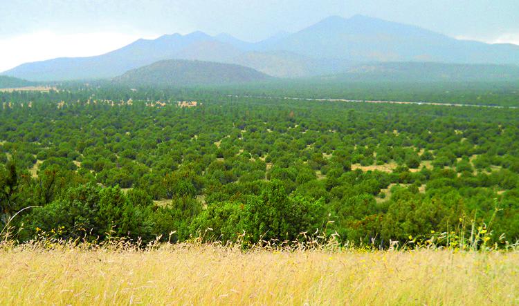
Trail Overview
This trail loops around Sunset Crater Volcano and O'Leary Peak. It begins on volcanic ash and concludes with a steep hill down to Highway 89. There is a great little hike to Strawberry Crater from the parking lot. Unlicensed vehicles are not allowed on certain portions of the trail.
Photos of O'Leary Peak Loop
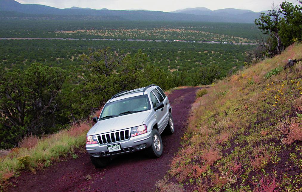
Difficulty
Moderate. Rutted and rocky in some sections with one tippy spot before Waypoint 05. Most of the trail is easy. One steep descent.
Status Reports
O'Leary Peak Loop can be accessed by the following ride types:
- High-Clearance 4x4
- SUV
O'Leary Peak Loop Map
Popular Trails

Pipeline to I-10
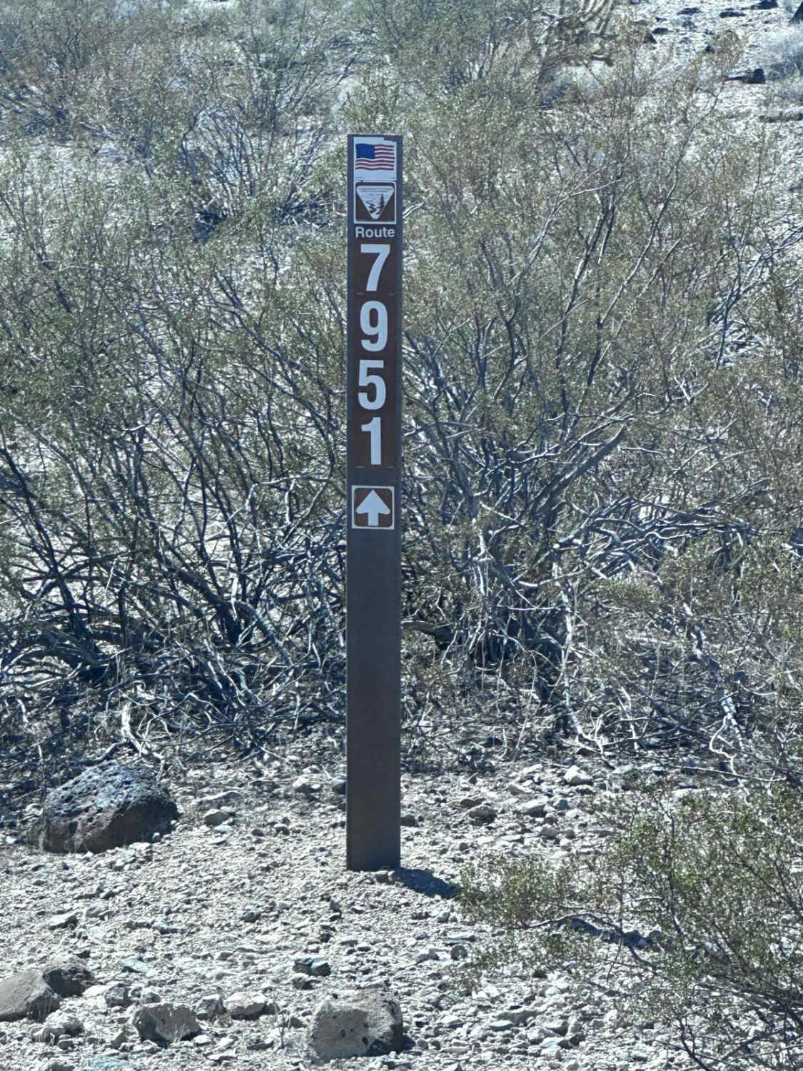
BLM Route 7951

San Domingo Wash
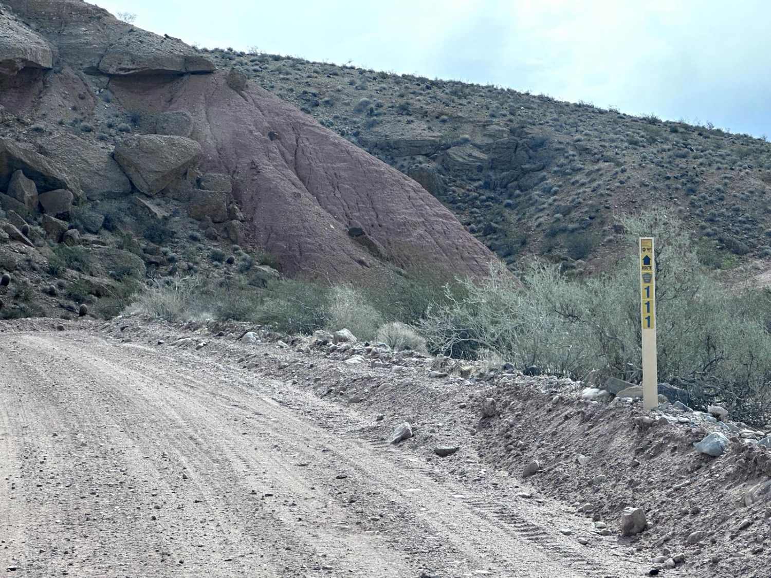
Pakoon Spring - CR 111
The onX Offroad Difference
onX Offroad combines trail photos, descriptions, difficulty ratings, width restrictions, seasonality, and more in a user-friendly interface. Available on all devices, with offline access and full compatibility with CarPlay and Android Auto. Discover what you’re missing today!