Old Highway 93
Total Miles
9.4
Technical Rating
Best Time
Spring, Fall, Winter, Summer
Trail Type
Full-Width Road
Accessible By
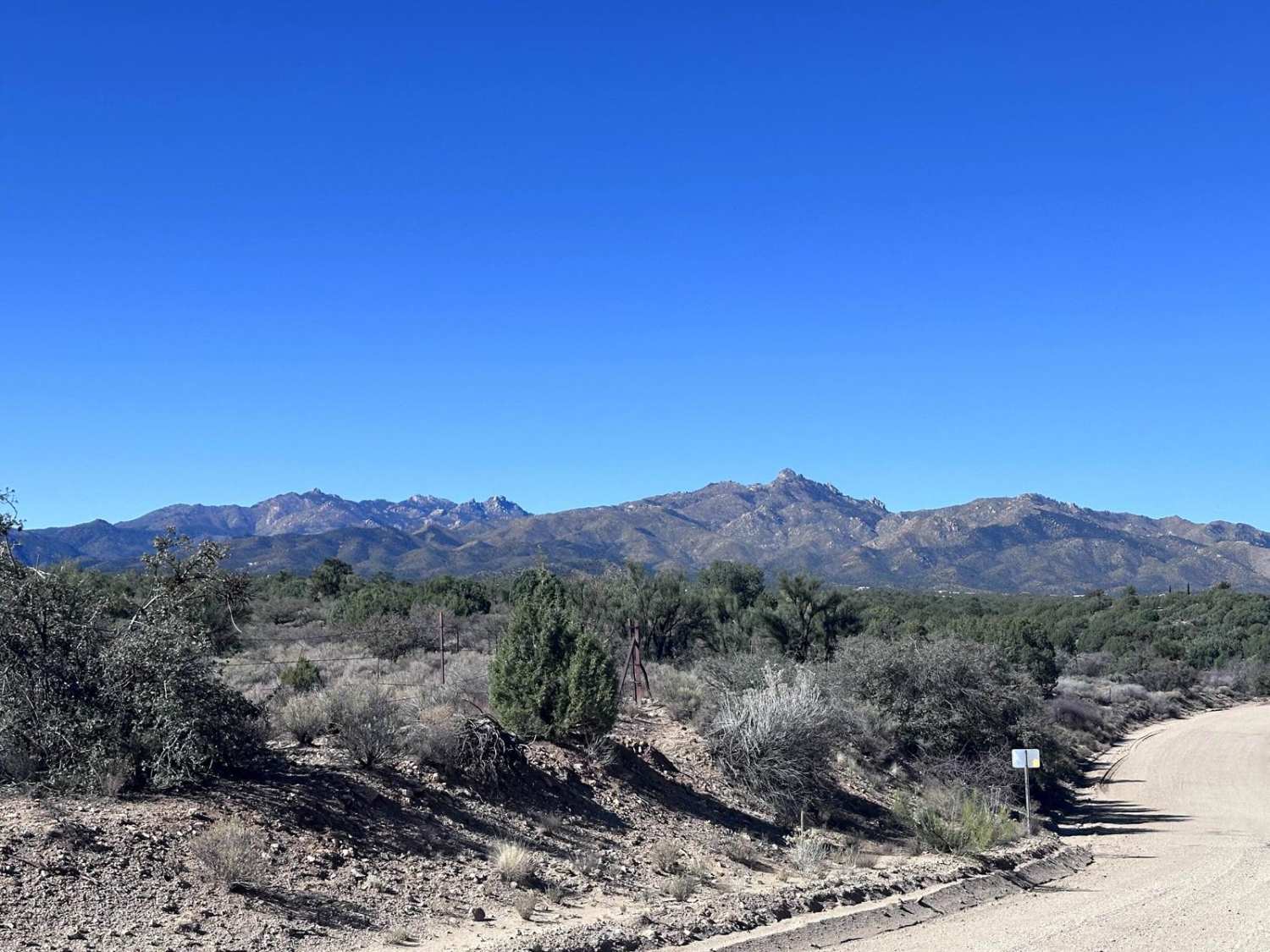
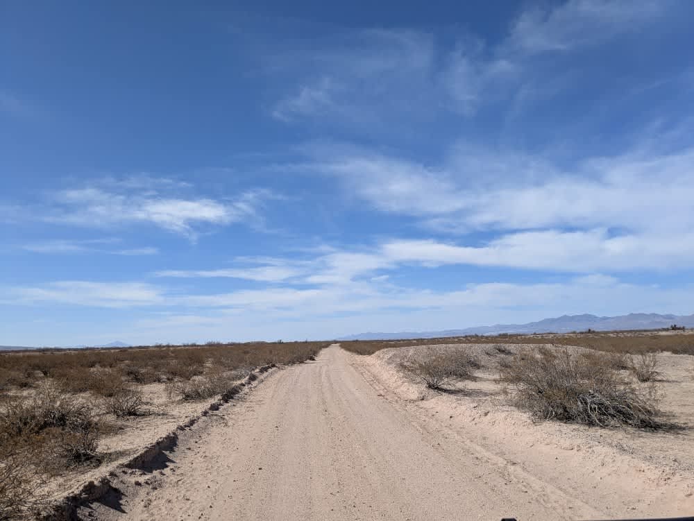
Trail Overview
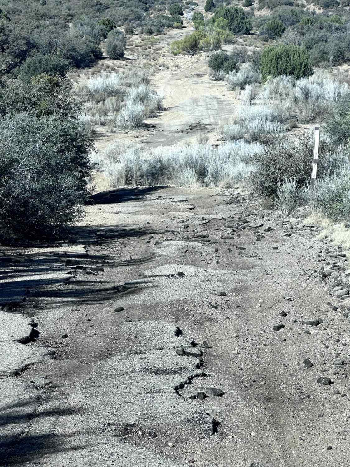
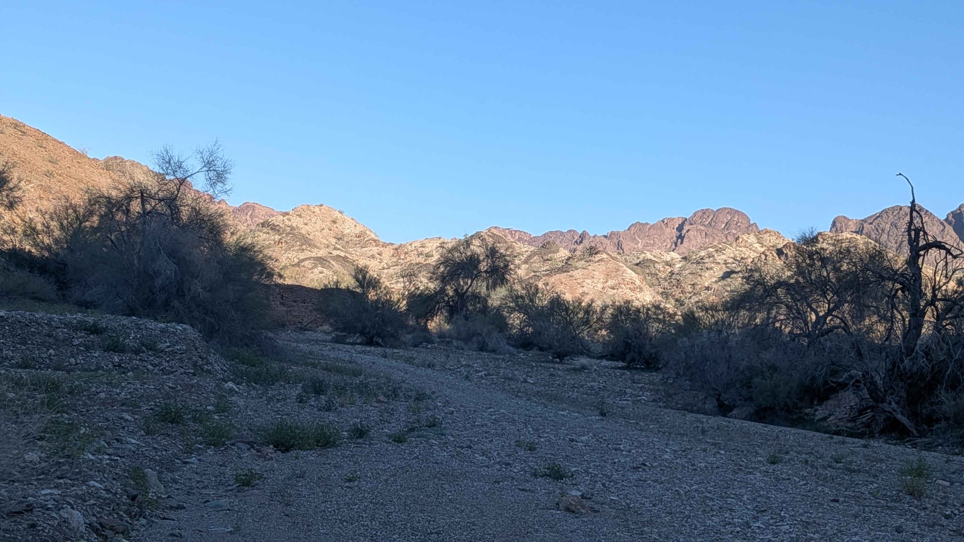
This 9.4 mile point to point trail follows a section of the original US Highway 93 that was decommissioned around 1959 upon the completion of Interstate 40. The first half of the trail starting from Highway 93 is a well-maintained dirt road with some washboarding. When the road makes a sharp right turn, you must cross over the bank and pass through a gate. This next section has erosion damage with washes under 12" in depth. This portion of the trail is passable by most 4WD vehicles and some higher clearance AWD vehicles.
Photos of Old Highway 93
Difficulty
The majority of this trail is a maintained dirt road, north of Blake Ranch road, has erosion damage under 12" in depth and fragments of the Old US Highway 93.
History
US Highway 93 was originally built in 1926 and still exists today. Many of the original sections have been rebuilt and are included with the Interstate system. The south end starts in Wickenburg, Arizona and ends at the US/Canada border (Port of Roosville). This section was built around 1939 as an extension from Kingman, Arizona to Wickenburg, Arizona. The section this trail runs was decommissioned some time around 1957 when I-40 was built.
Status Reports
Old Highway 93 can be accessed by the following ride types:
- High-Clearance 4x4
- SUV
- SxS (60")
- ATV (50")
- Dirt Bike
Old Highway 93 Map
Popular Trails
Maple Canyon to Stone Cabin (Black Rock Rd 1004)

Washy Trail
The onX Offroad Difference
onX Offroad combines trail photos, descriptions, difficulty ratings, width restrictions, seasonality, and more in a user-friendly interface. Available on all devices, with offline access and full compatibility with CarPlay and Android Auto. Discover what you’re missing today!