Nixon South Road BLM 1044
Total Miles
4.4
Technical Rating
Best Time
Spring, Summer, Fall
Trail Type
Full-Width Road
Accessible By
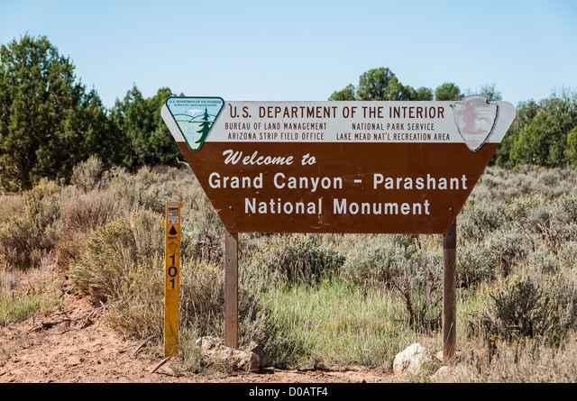
Trail Overview
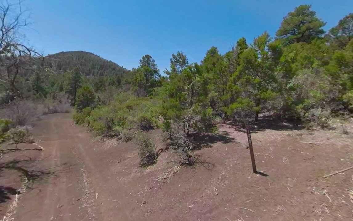
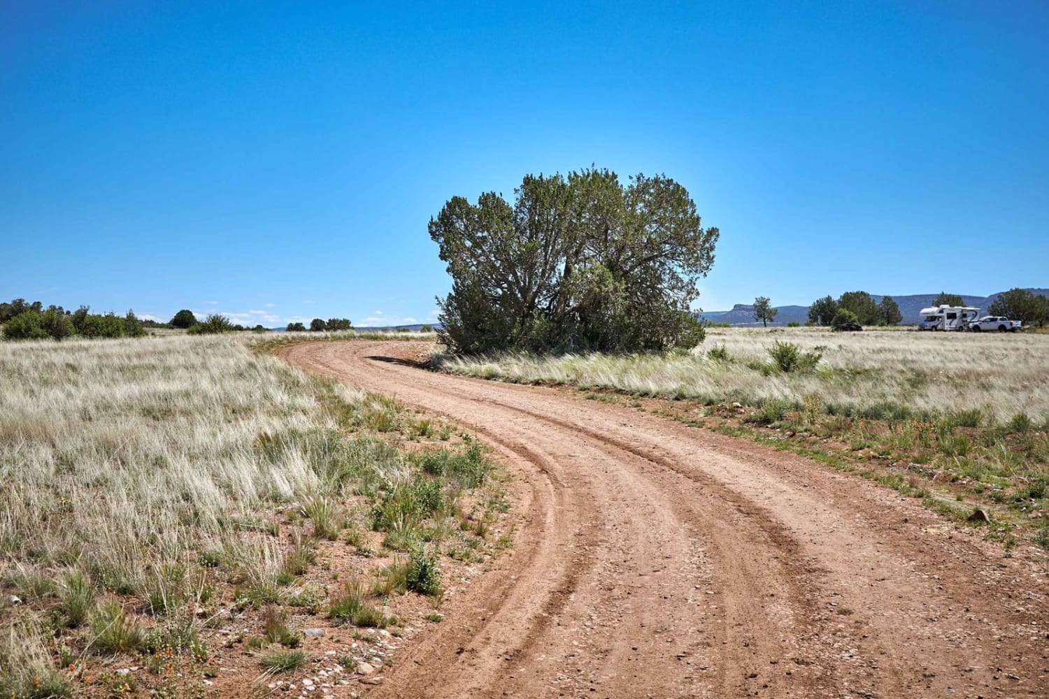
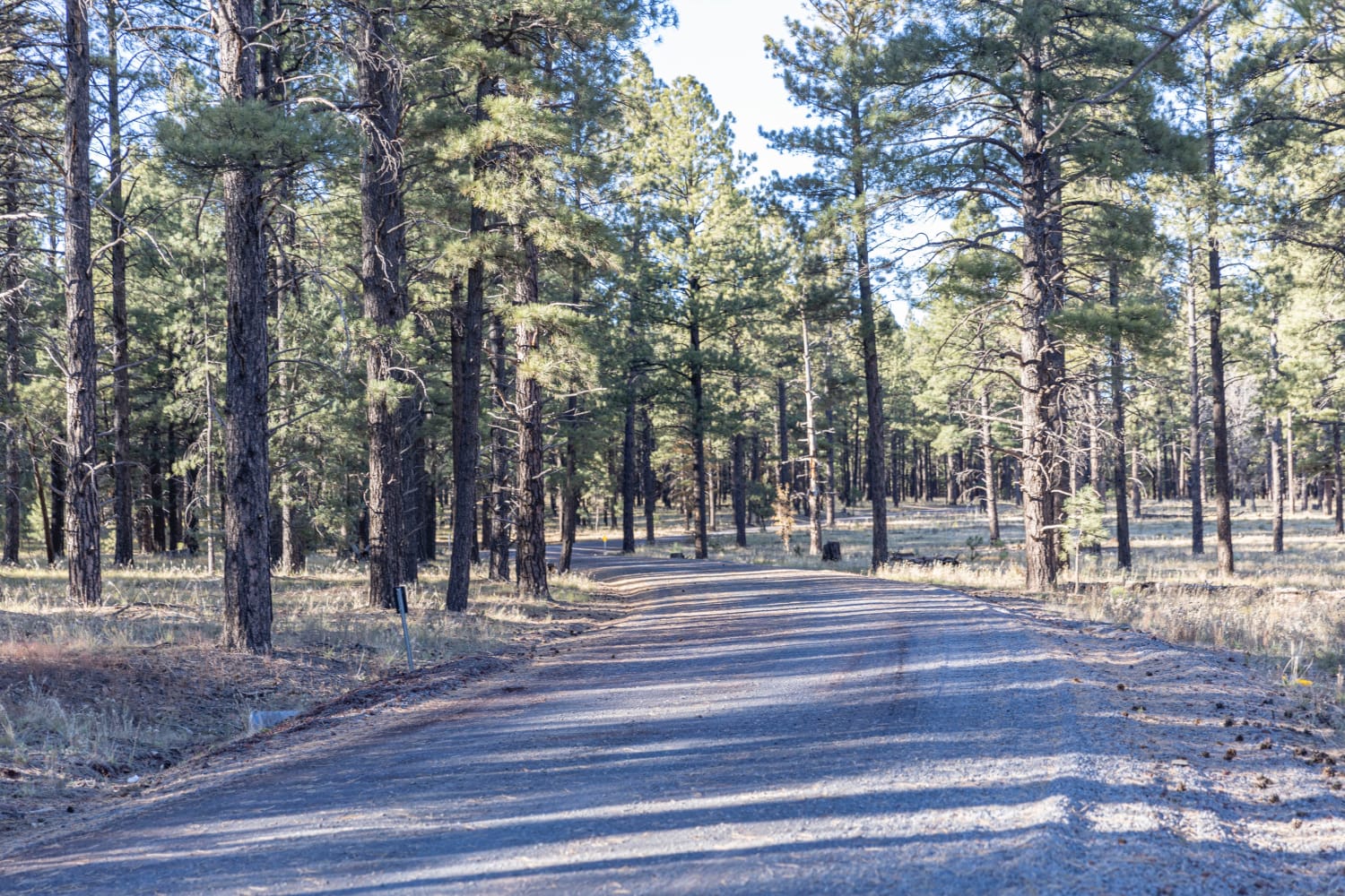
Nixon South Road BLM 1044 is a 4.3-mile road that is rated 2 of 10. This is one of several trails used to travel around the Mount Logan and Hell's Hole area of the Grand Canyon-Parashant National Monument. Nixon South Road is used to reach Mount Logan Road BLM 1064 to access the hiking trailhead. The trail cuts across pine forests and scrub prairie and is mostly single-track. The southern portion of Nixon South Road (south of Mount Logan Road) is fairly overgrown and you can expect to get pinstriping traveling this section. BLM 1044 turns into BLM 1023 on the southern end without any warning and there are no intersections as shown on various maps. Any trail heading east from this area enters the private property of the Arkansas Ranch. There is no water, gas, food, lodging, Wi-Fi, or cell service. Visitors should be advised that towing charges in the event of vehicles becoming stuck or damaged are in the region of $3,000. Areas above 5,000 feet may not be accessible in winter months due to mud and snow.
Photos of Nixon South Road BLM 1044
Difficulty
The trail consists of loose rocks, dirt, sand, and some slick rock surfaces. Mud holes are possible, but there are no steps higher than 12 inches. 4WD is recommended, and aggressive tires are a plus.
Status Reports
Nixon South Road BLM 1044 can be accessed by the following ride types:
- High-Clearance 4x4
- SUV
- SxS (60")
- ATV (50")
- Dirt Bike
Nixon South Road BLM 1044 Map
Popular Trails
Wrangler's Nest - Difficult Wash
Dogtown Trail

The onX Offroad Difference
onX Offroad combines trail photos, descriptions, difficulty ratings, width restrictions, seasonality, and more in a user-friendly interface. Available on all devices, with offline access and full compatibility with CarPlay and Android Auto. Discover what you’re missing today!