Mill Road
Total Miles
3.0
Technical Rating
Best Time
Spring, Summer, Fall, Winter
Trail Type
Full-Width Road
Accessible By
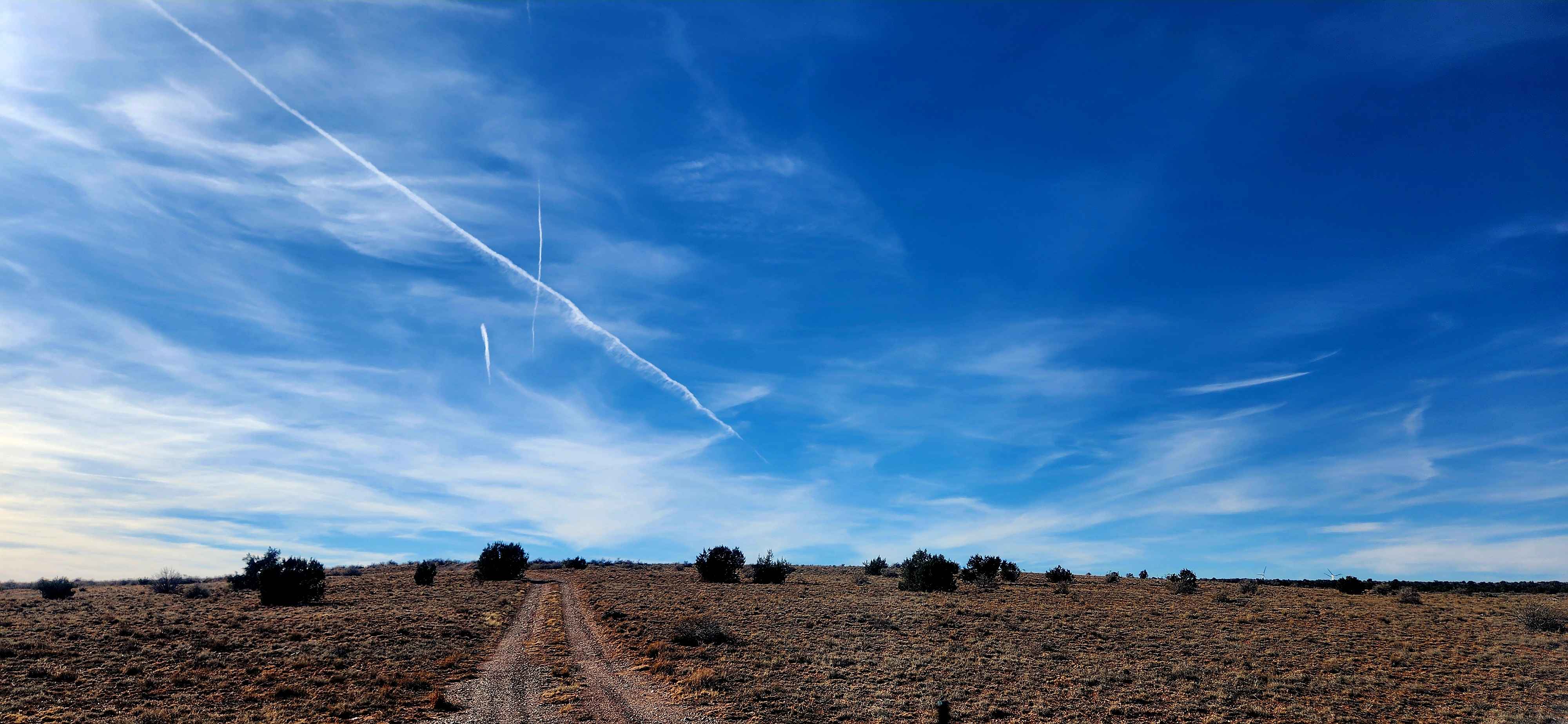
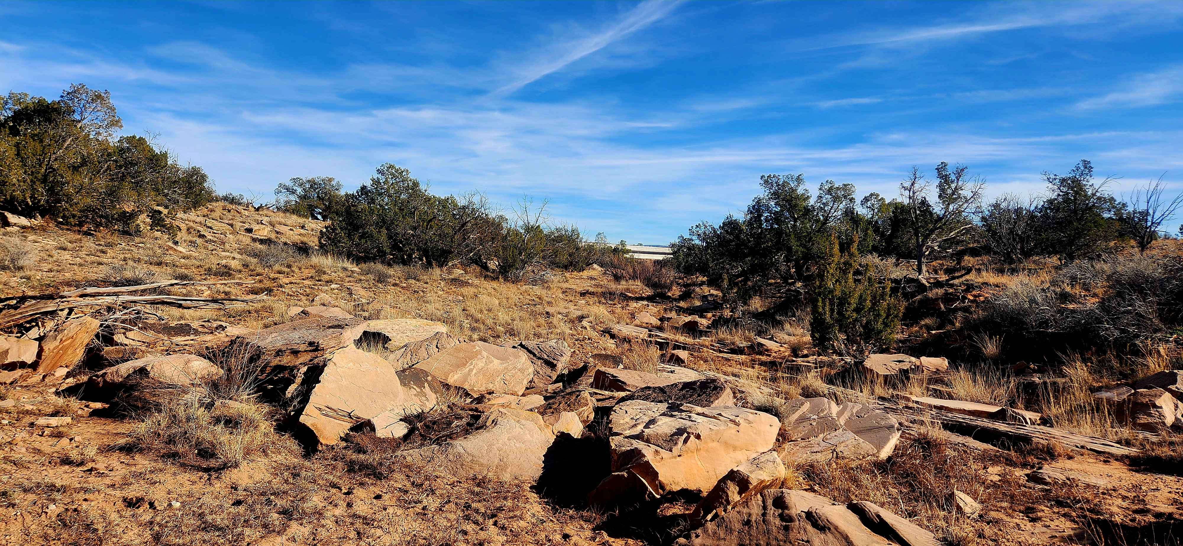
Trail Overview
This trail follows a 3-mile road through the land north of Snowflake and Taylor, Arizona, traveling from east to west with a variety of open desert views. Along the route are broad mesas, expansive blue skies, and several windmills that define the landscape. Early on, the road passes a clearly marked sandstone mine area posted to keep out, with visible signs of past material dumping around its perimeter. Farther along, the terrain shows evidence of an old fire, with many fallen trees, making this a relaxed and scenic route for casual exploration.
Photos of Mill Road
Difficulty
This trail begins with a wash crossing that is often dry, but it can carry fast-moving flash flood water during monsoon storms due to heavy rainfall and desert terrain that does not absorb water well. Several rocky sections require high ground clearance, and many parts of the route are only wide enough for a single vehicle. This trail is not particularly difficult, but careful driving and adequate clearance are important.
Status Reports
Mill Road can be accessed by the following ride types:
- High-Clearance 4x4
- SUV
- SxS (60")
- ATV (50")
- Dirt Bike
Mill Road Map
Popular Trails
County Highway 5

Fenceline Scratch

Gas Line Middle
The onX Offroad Difference
onX Offroad combines trail photos, descriptions, difficulty ratings, width restrictions, seasonality, and more in a user-friendly interface. Available on all devices, with offline access and full compatibility with CarPlay and Android Auto. Discover what you’re missing today!