Locker Ridge
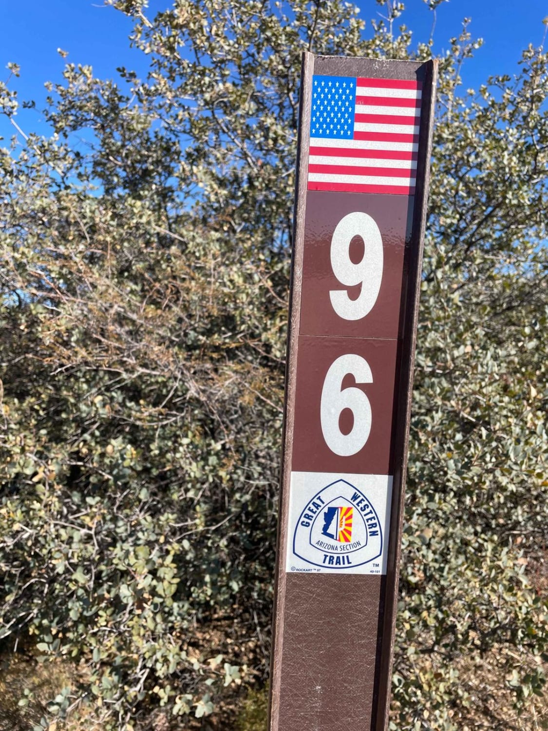
Total Miles
9.6
Technical Rating
Best Time
Spring, Summer, Fall, Winter
Trail Type
Full-Width Road
Accessible By
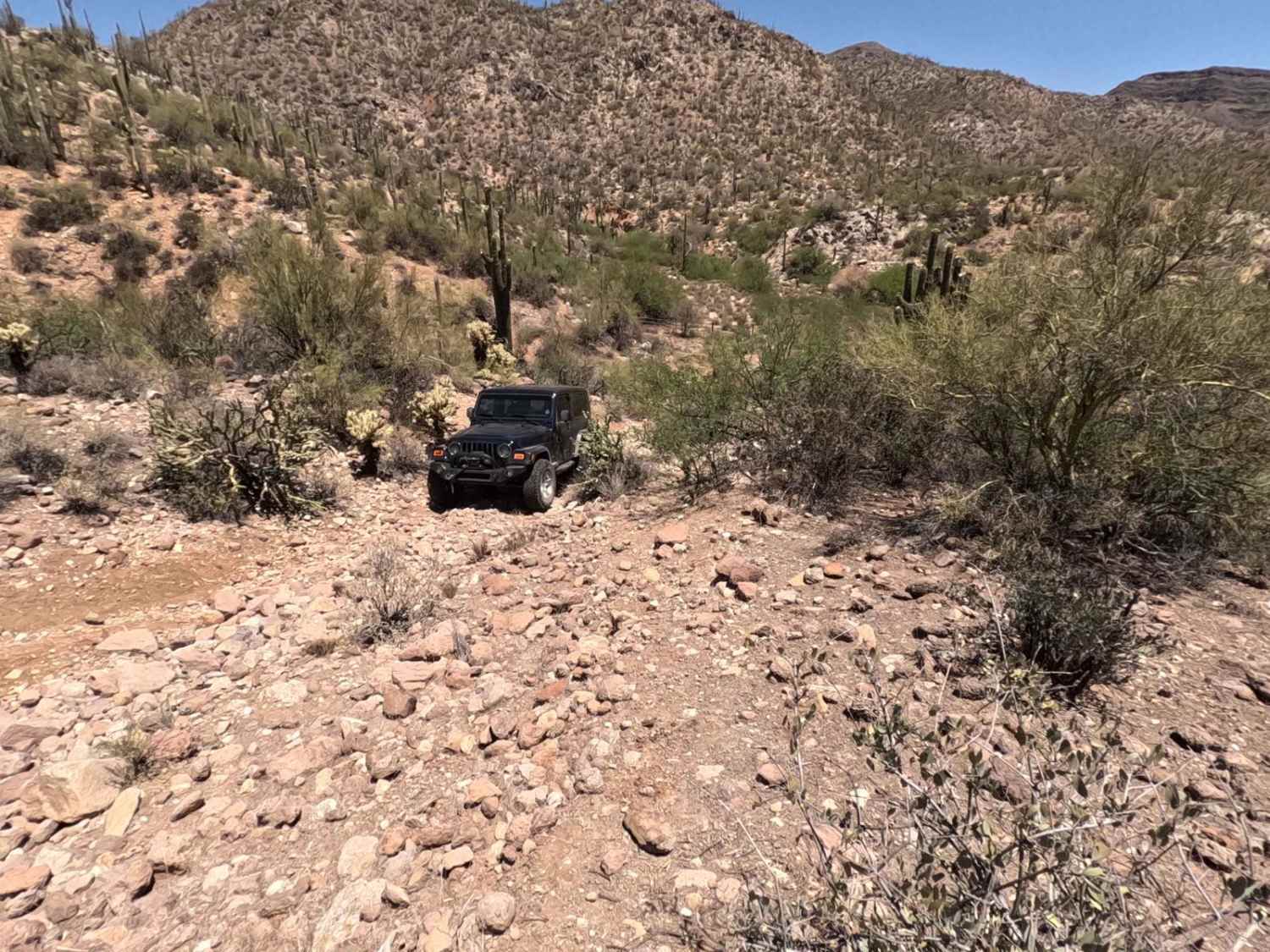
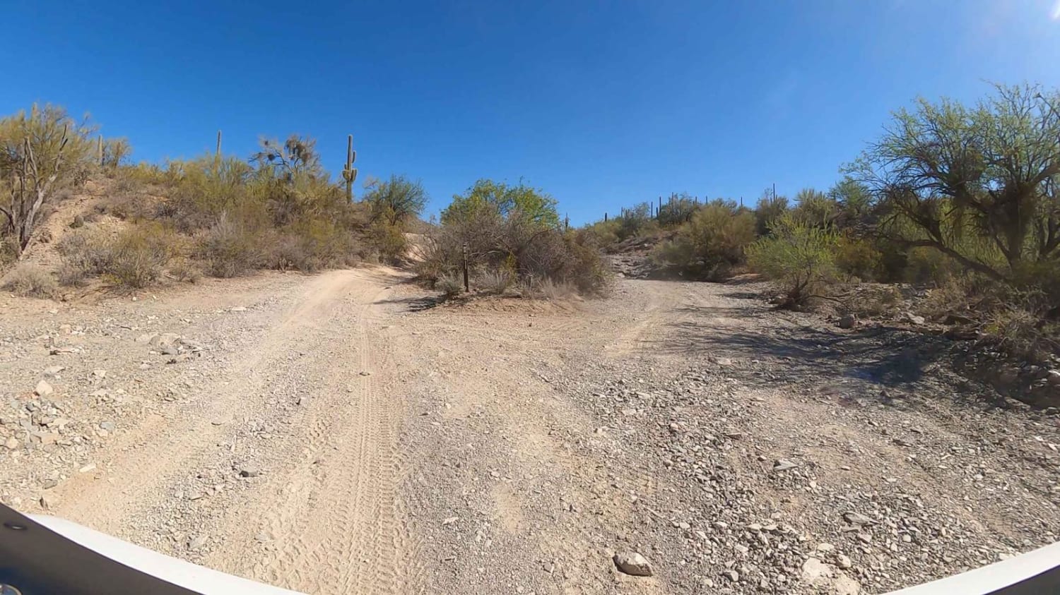
Trail Overview
Ready to put your rig--and your nerves--to the test? Locker Ridge Trail can be tackled from either direction, but if you crave maximum thrills (and maybe a few "hold my drink" moments), start your journey east to west. Kick things off at Cow Creek Road and wrap up at the legendary Backway to Crown King Road. Along the way, you'll cruise ridgelines with jaw-dropping views of the mountains and Lake Pleasant. The desert scenery is pure Arizona: saguaro cacti standing tall like cheerleaders, cheering you on as you take on whatever surprises the trail throws your way. And trust us, this trail has plenty of tricks up its sleeve--think big washouts, rocks, shelf roads, and plenty of hills. About a mile from Cow Creek Road, you'll meet the infamous hills that earned Locker Ridge its name. Depending on how Mother Nature and other off-roaders have shaped them, you might need lockers to conquer these beasts. If you make it up, feel free to give yourself a victory fist pump. Don't expect a traffic jam--this trail is not well-traveled, and even your cell service might ghost you. However, cell service is intermittent, so if you lose signal, just a short drive might put you back on the grid, depending on your provider. Most of the trail runs through BLM land, but you'll also cross some Arizona State Trust Land. Good news: as long as you stick to the road and don't stop, set up camp, or start a game of desert volleyball, you don't need a State Trust Land permit. Stopping, even briefly, requires a recreational permit when on Arizona State Trust Land. You'll roll through some private properties as you approach the Backway to Crown King Road near the trail's west end. The landowners are cool with off-roaders passing through--just don't stop, litter, blast music, or pretend you're in a rally race. Landowners pay to maintain these roads, so go easy on the gas and treat the road like its maintenance is coming out of your wallet. Being respectful and following the mapped route will keep the trail open for future adventurers. So pack your snacks, check your lockers, and get ready for a trail that's as wild as your sense of adventure!
Photos of Locker Ridge

Difficulty
The two hills about a mile from Cow Creek Road give this trail a 6 rating. The rest of the trail has a 4 rating with typical desert sand, rocks, hills, and erosion from rainfalls. The private land road on the west end of the trail falls to a 2 or 3 rating.
History
Locker Ridge has a rich mining history. Adventurous explorers might want to check out the Red Star Mine, Top Notch Mine, Cougar Mine, Hardtimes Mine, Lunan Mine, Lucky Mine, Glint Mine, Coolidge Mine, or the Spring Mine, all on BLM land and reasonably close to the trail.
Locker Ridge can be accessed by the following ride types:
- High-Clearance 4x4
- SUV
- SxS (60")
- ATV (50")
- Dirt Bike
Locker Ridge Map
Popular Trails
Walker Gulch to Senator Highway and Crown King
Cedar Mesa - FS 322
Patagonia Loop
The onX Offroad Difference
onX Offroad combines trail photos, descriptions, difficulty ratings, width restrictions, seasonality, and more in a user-friendly interface. Available on all devices, with offline access and full compatibility with CarPlay and Android Auto. Discover what you’re missing today!