J-Train
Total Miles
2.7
Technical Rating
Best Time
Spring, Summer, Fall, Winter
Trail Type
Full-Width Road
Accessible By
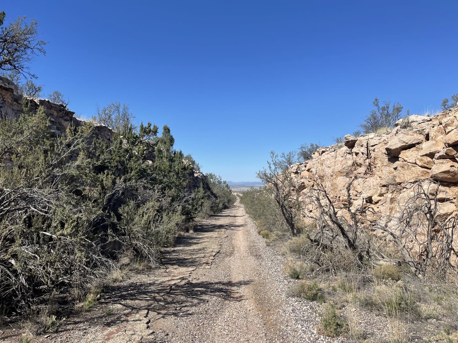
Trail Overview
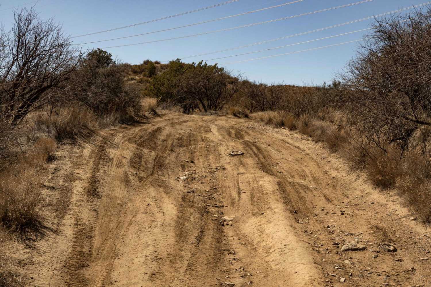
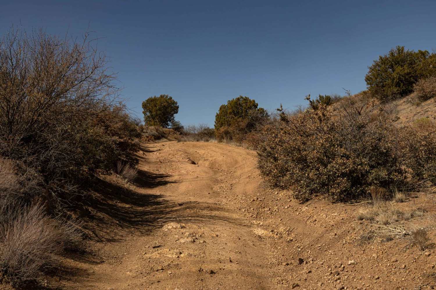
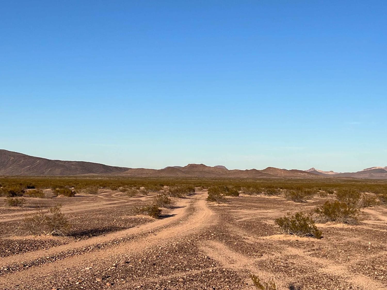
J-Train begins as a narrow trail with off-camber erosion before gradually widening into a more established ranch road. The shifting terrain requires careful driving early on, but the route eases up as it connects to the wider path. With no cell service in the area, be sure to download offline maps before heading out.
Photos of J-Train
Difficulty
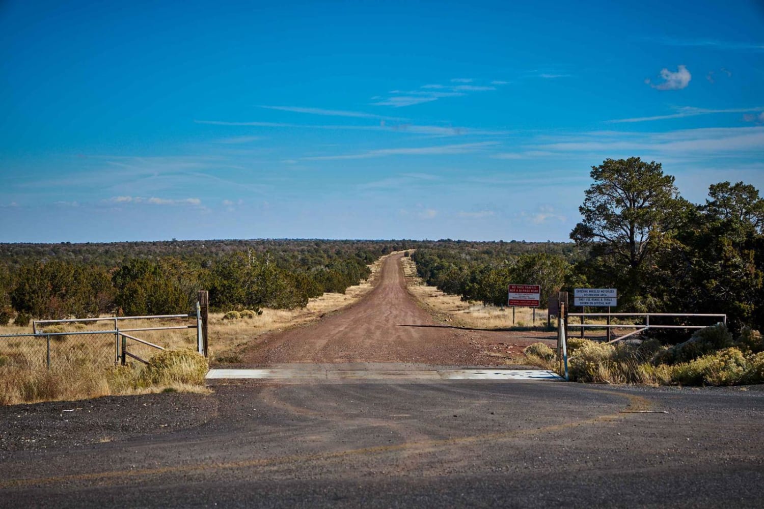
This is an unmaintained trail with varying terrain. The beginning is more rough and less traveled, with vegetation overgrowing the trail, as well as erosion. Once on the ranch road, there are no obstacles. There is an informative kiosk near the Agua Fria river with pullouts as well as hiking trails near the river.
Status Reports
J-Train can be accessed by the following ride types:
- High-Clearance 4x4
- SUV
- SxS (60")
- ATV (50")
- Dirt Bike
J-Train Map
Popular Trails

Cholla Camp
The onX Offroad Difference
onX Offroad combines trail photos, descriptions, difficulty ratings, width restrictions, seasonality, and more in a user-friendly interface. Available on all devices, with offline access and full compatibility with CarPlay and Android Auto. Discover what you’re missing today!