Hs62l
Total Miles
1.1
Technical Rating
Best Time
Winter, Spring, Fall
Trail Type
50" Trail
Accessible By
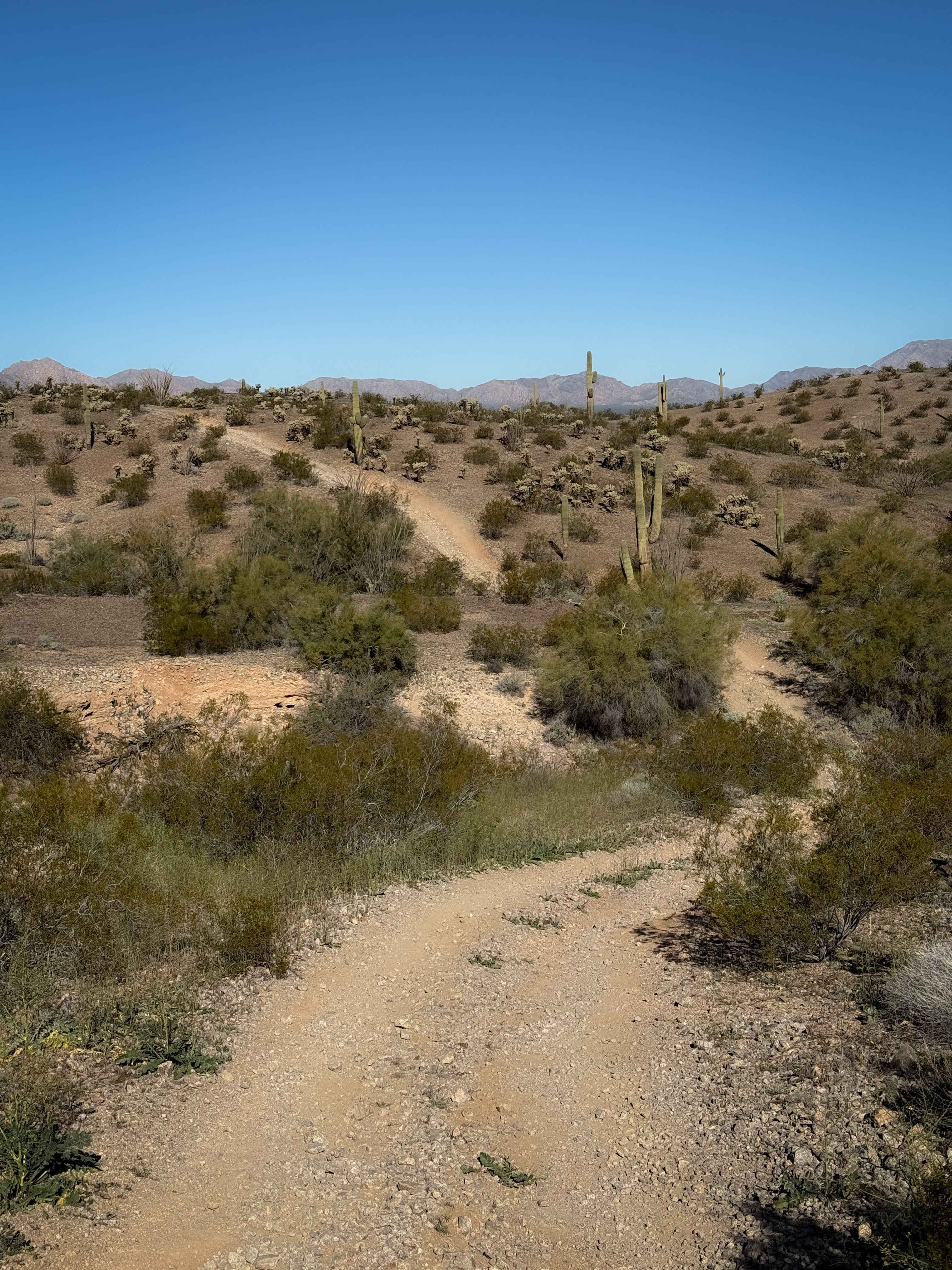
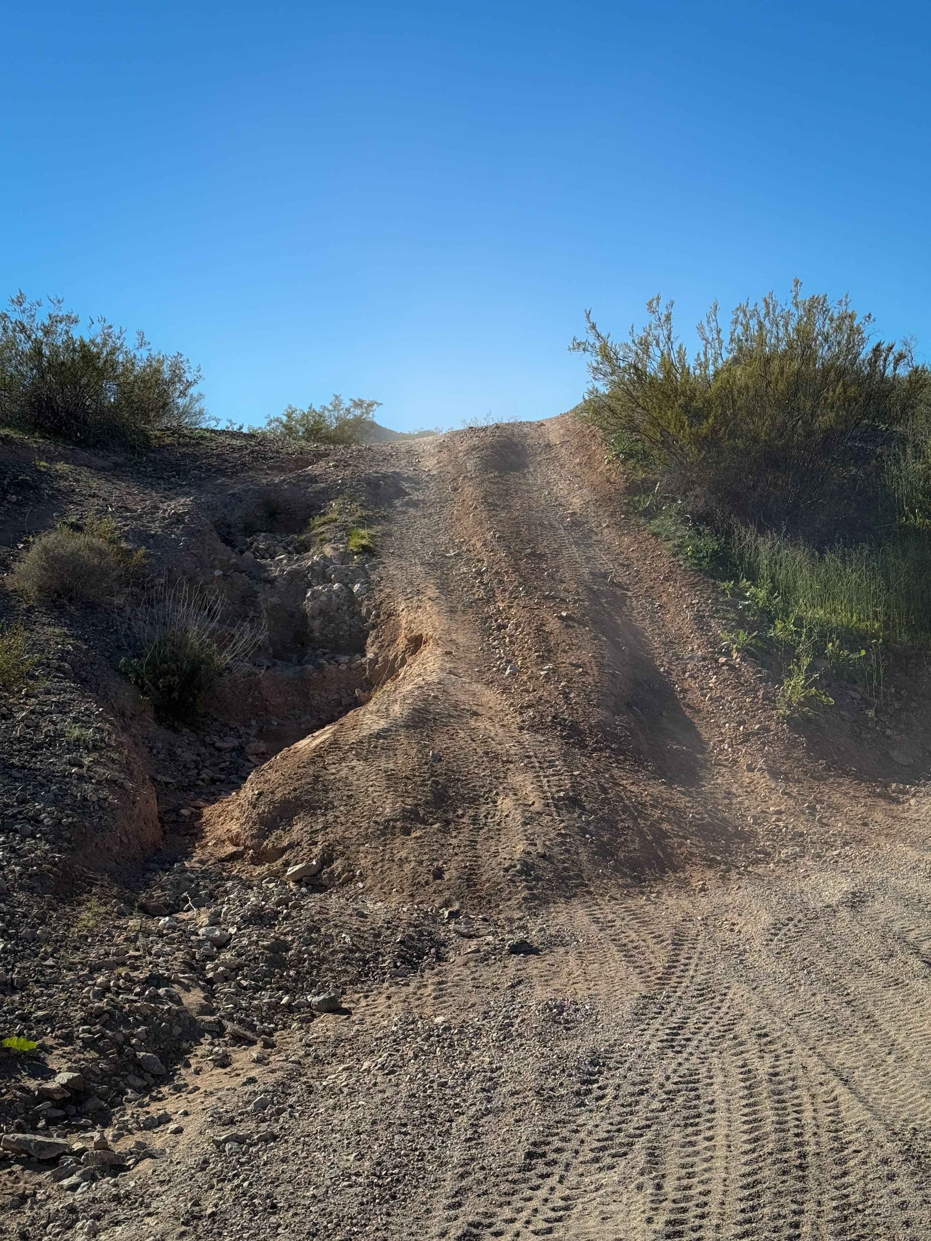
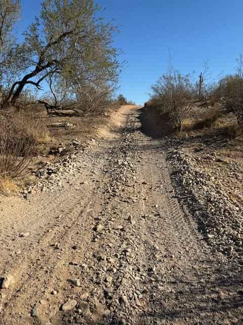
Trail Overview
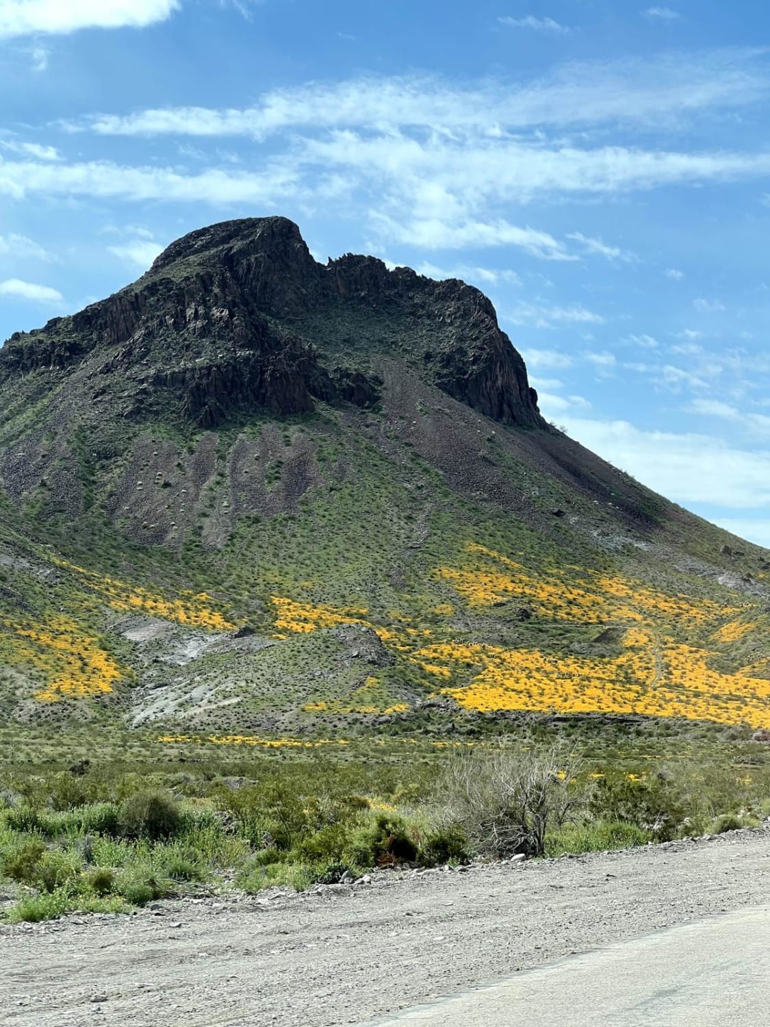
This is an easy desert trail for 1.2 miles on BLM land near Salome, Arizona. From the south end, the trail meanders up and over the rolling desert hills, with short climbs and descents that are full of loose rocks. It dips into and out of rocky ravines, sometimes with a steep spot to cross the ravine. It has shallow ruts and lots of big loose rocks. The southern half is constantly going up and down the hills, with an overall elevation loss of 200 feet. The second half of the trail is flatter as it goes straight north across the valley floor. It crosses a couple of wide sandy washes and rides past towering saguaro cactus and ocotillos, with views of the mountains in the distance.
Photos of Hs62l
Difficulty
This trail is easy, but has a couple of steeper hill climbs and descents that are full of loose rock. It is ideal for OHV users with a basic level of experience.
Status Reports
Hs62l can be accessed by the following ride types:
- ATV (50")
- Dirt Bike
Hs62l Map
Popular Trails

Metal Masher Boulder Wash Spur
Engelstead Tank Cutover
AZPT Segment Lake Havasu to Kingman
The onX Offroad Difference
onX Offroad combines trail photos, descriptions, difficulty ratings, width restrictions, seasonality, and more in a user-friendly interface. Available on all devices, with offline access and full compatibility with CarPlay and Android Auto. Discover what you’re missing today!