Hs42l
Total Miles
1.0
Technical Rating
Best Time
Winter, Spring, Fall
Trail Type
50" Trail
Accessible By
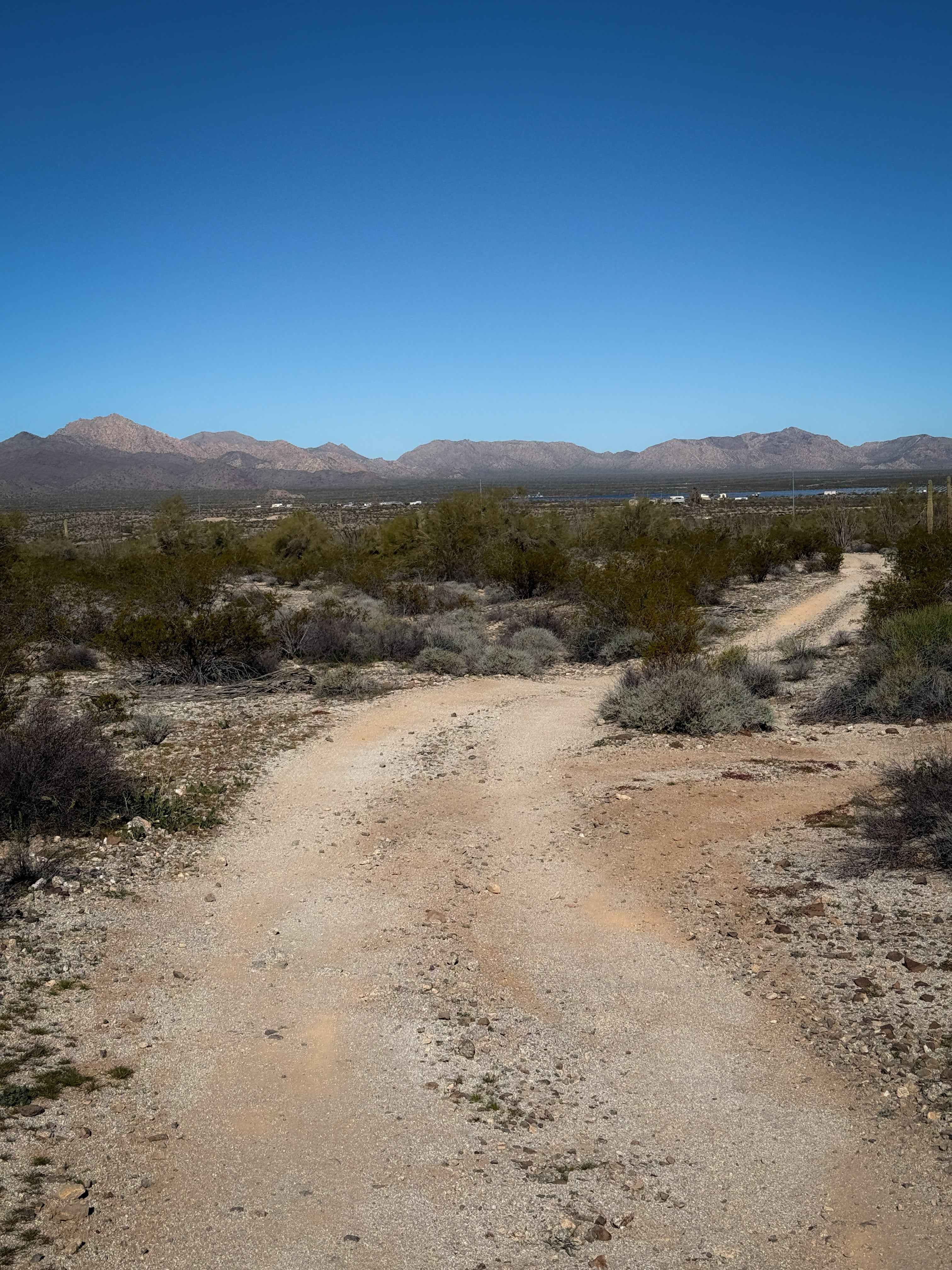
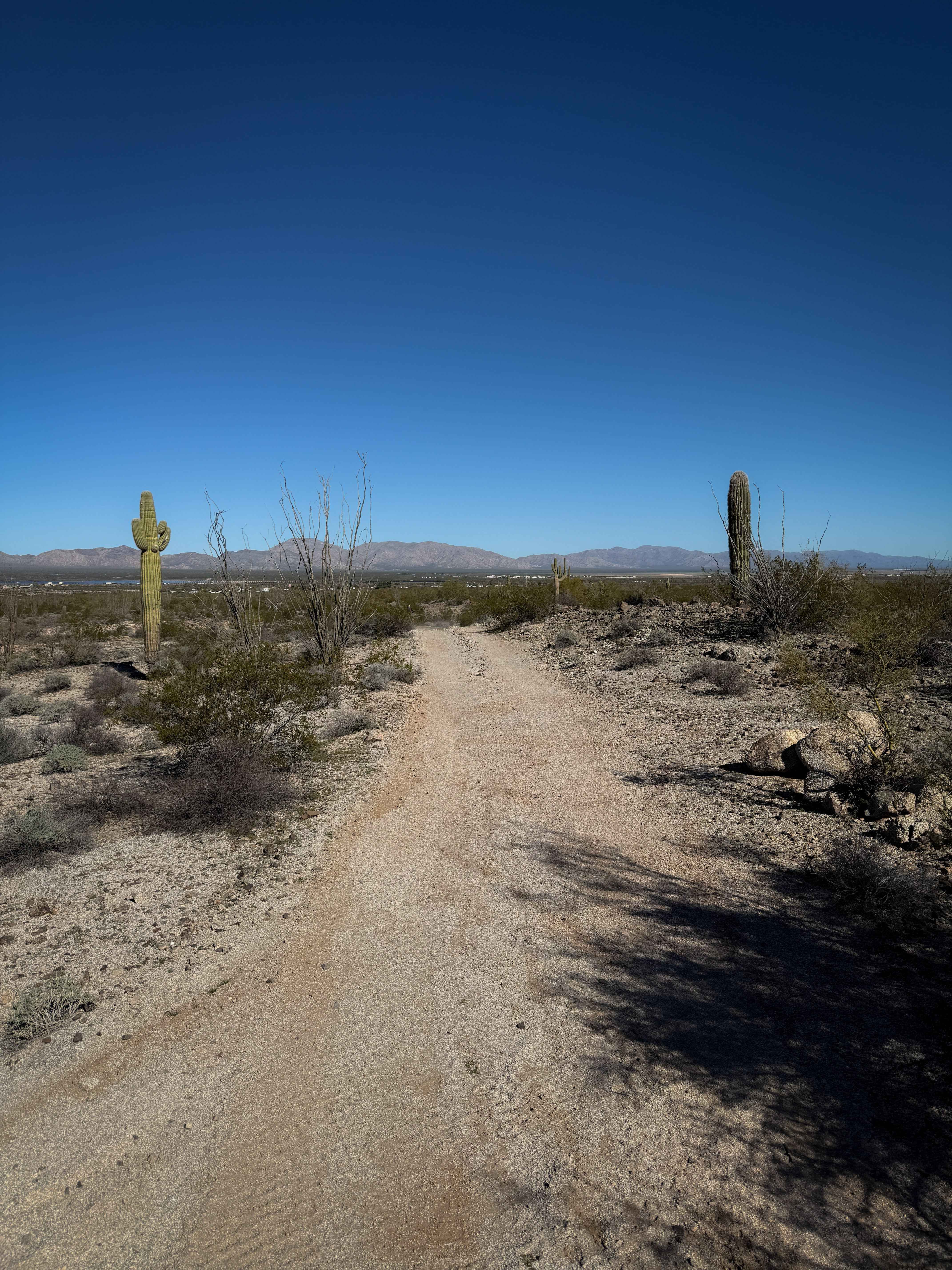
Trail Overview
This is an easy desert trail that is mostly flat and straight through the BLM land near Salome, Arizona. It rides past giant ocotillo cactus and scraggly creosote bushes in a remote and barren landscape. There are giant boulders lining the trail at times, making it more scenic and unique. The trail has very mild loose rock, shallow ruts, and uneven ground, but is overall very approachable for riders of all skill levels. It goes underneath some powerlines and crosses small sandy ravines. It ends on another desert road on the edge of Arizona State Trust Land. This area is best in winter and the off-seasons, as it becomes too hot in the summer.
Photos of Hs42l
Difficulty
This trail is very easy as it is mostly flat and straight, making it fast and approachable. It is ideal for riders of all skill levels.
Status Reports
Hs42l can be accessed by the following ride types:
- ATV (50")
- Dirt Bike
Hs42l Map
Popular Trails

McReynolds Cutthrough
Promontory Butte - FS 410
The onX Offroad Difference
onX Offroad combines trail photos, descriptions, difficulty ratings, width restrictions, seasonality, and more in a user-friendly interface. Available on all devices, with offline access and full compatibility with CarPlay and Android Auto. Discover what you’re missing today!