Hieroglyphic Mountains Loop
Total Miles
2.4
Technical Rating
Best Time
Spring, Fall, Winter
Trail Type
Single Track
Accessible By
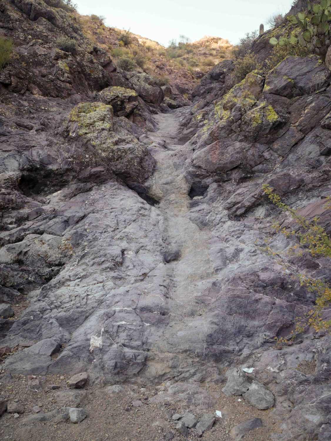
Trail Overview
This is a rugged 2.5 miles of singletrack through the Hieroglyphic Mountains that will give a lot of riders a good challenge and also goes through a really scenic and unique landscape. It climbs up from the Picacho Wash into the mountains, on a long sustained loose technical climb. It's full of big loose rocks all the way up, with embedded rock, and loose dirt, making it very difficult to maintain momentum. The steep trail is all chewed up with ruts, with split lines through the ruts, and moderate embedded rock shelves. After the initial climb, it does some side-hilling around the rolling hills on a narrow path. It's pretty awesome being on the exposed hillsides, although there's a bit of exposure as it traverses the hillside with narrow spots with big rocks. There's some rock outcroppings that make it really scenic. Throughout the rest of the route, there are several moderate rock shelves and drop-offs, that are sometimes off-camber during the narrow spots. After almost 2 miles, it starts to descend, and the descent is really rutted with rogue rocks in the ruts. It's a peg grabber in the deep trough. It drops into a narrow wash that is full of big loose rocks, and you have to ride down several waterfall-ramped rock ledges. They are a couple of feet tall and kind of like a slide or a slot canyon where you can ramp up them or down them. It ends back in Picacho Wash.
Photos of Hieroglyphic Mountains Loop

Difficulty
This trail is advanced because it's constantly a rocky surface and loose and gravelly, with really steep technical rocky climbs, and decent-sized ledges that will give the average rider a challenge.
Status Reports
Hieroglyphic Mountains Loop can be accessed by the following ride types:
- Dirt Bike
Hieroglyphic Mountains Loop Map
Popular Trails

Davidson Wash
Goff Cutoff

Thistle Hollow - FS 229
Cowpie Cowboy Trail
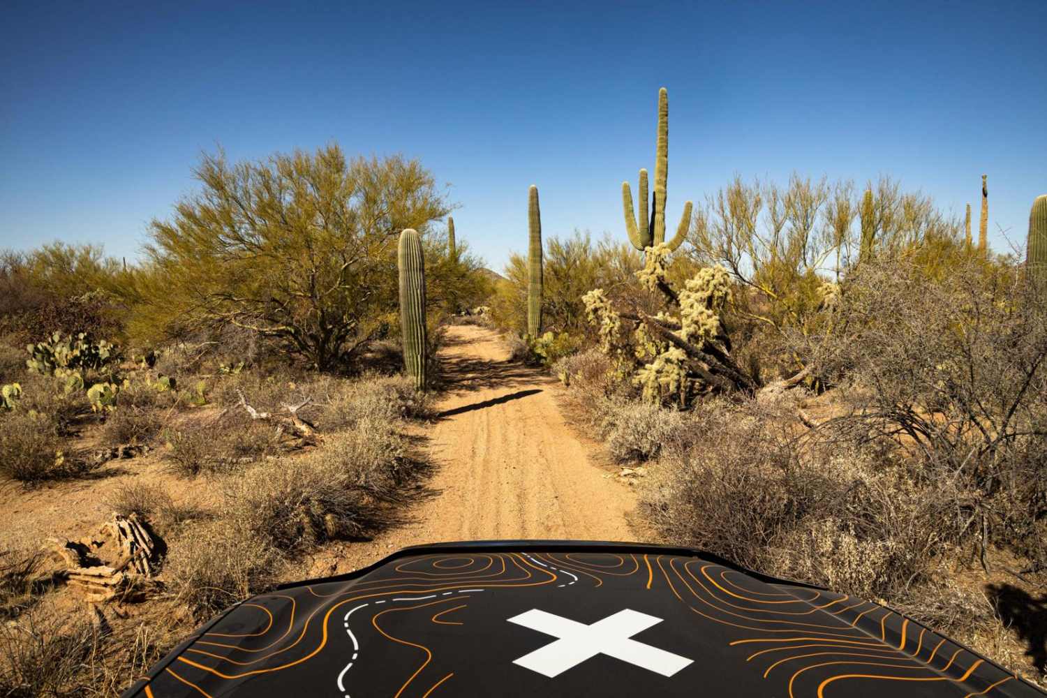
The onX Offroad Difference
onX Offroad combines trail photos, descriptions, difficulty ratings, width restrictions, seasonality, and more in a user-friendly interface. Available on all devices, with offline access and full compatibility with CarPlay and Android Auto. Discover what you’re missing today!