Garfias Connector
Total Miles
0.8
Technical Rating
Best Time
Spring, Fall, Winter
Trail Type
Single Track
Accessible By
Trail Overview
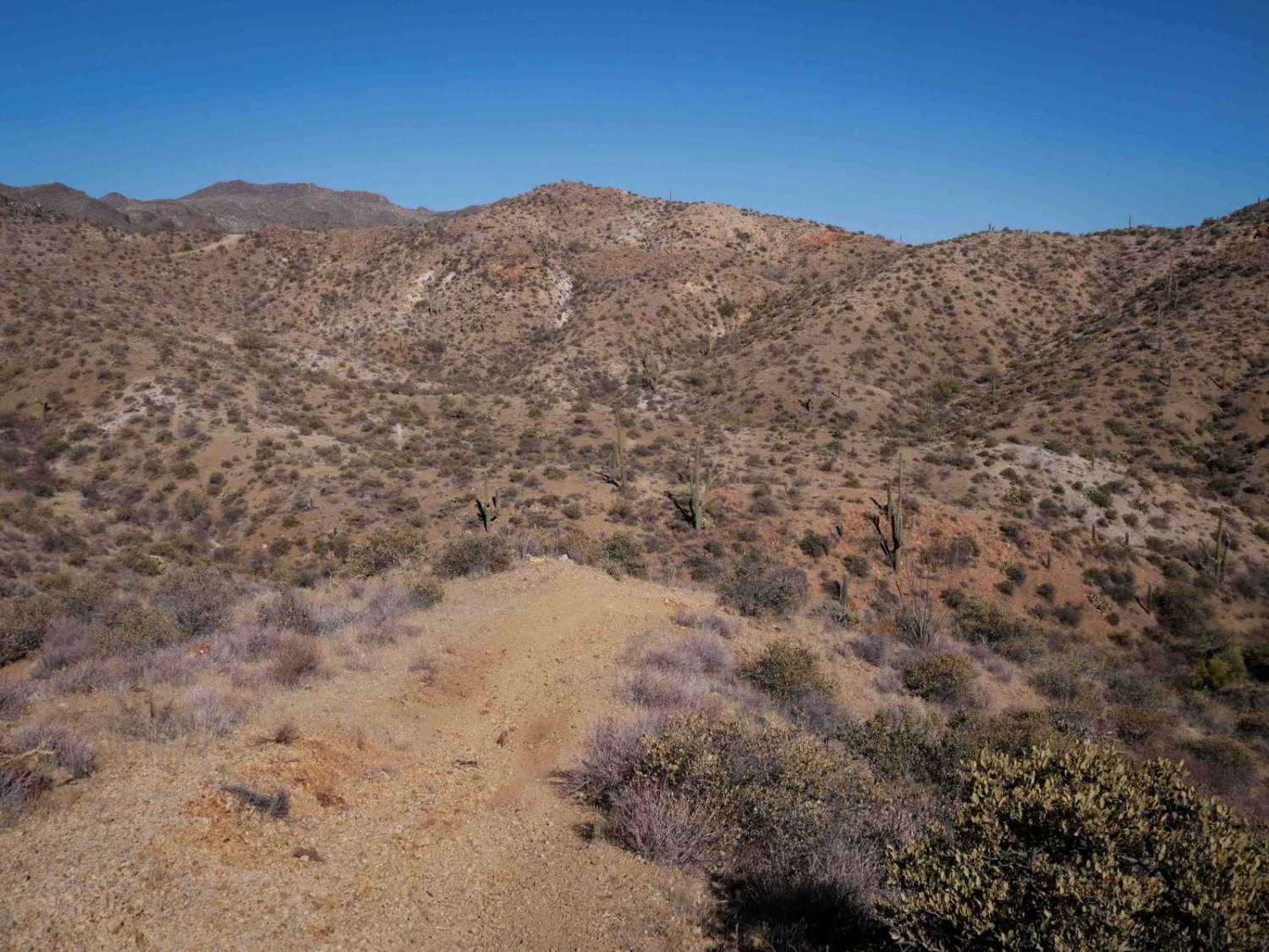
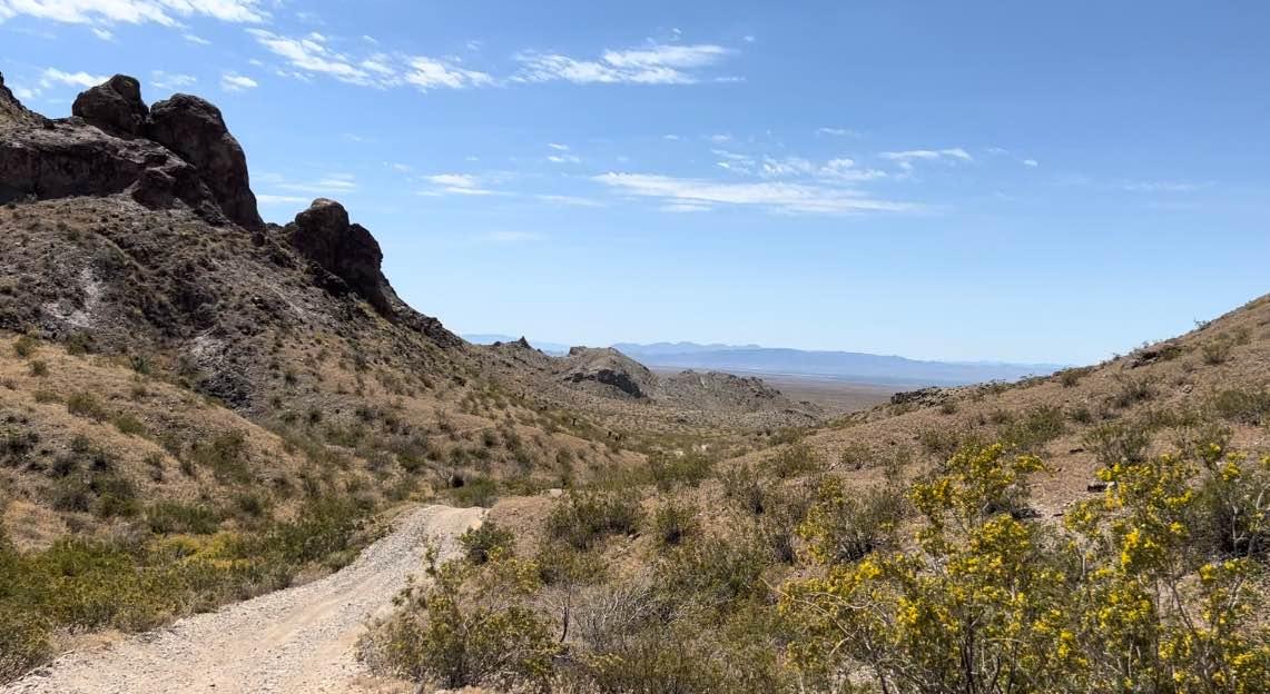
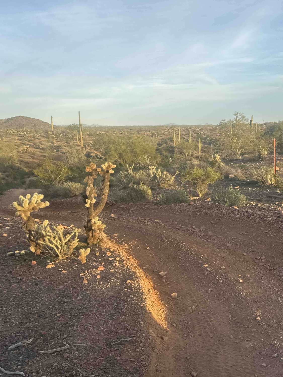
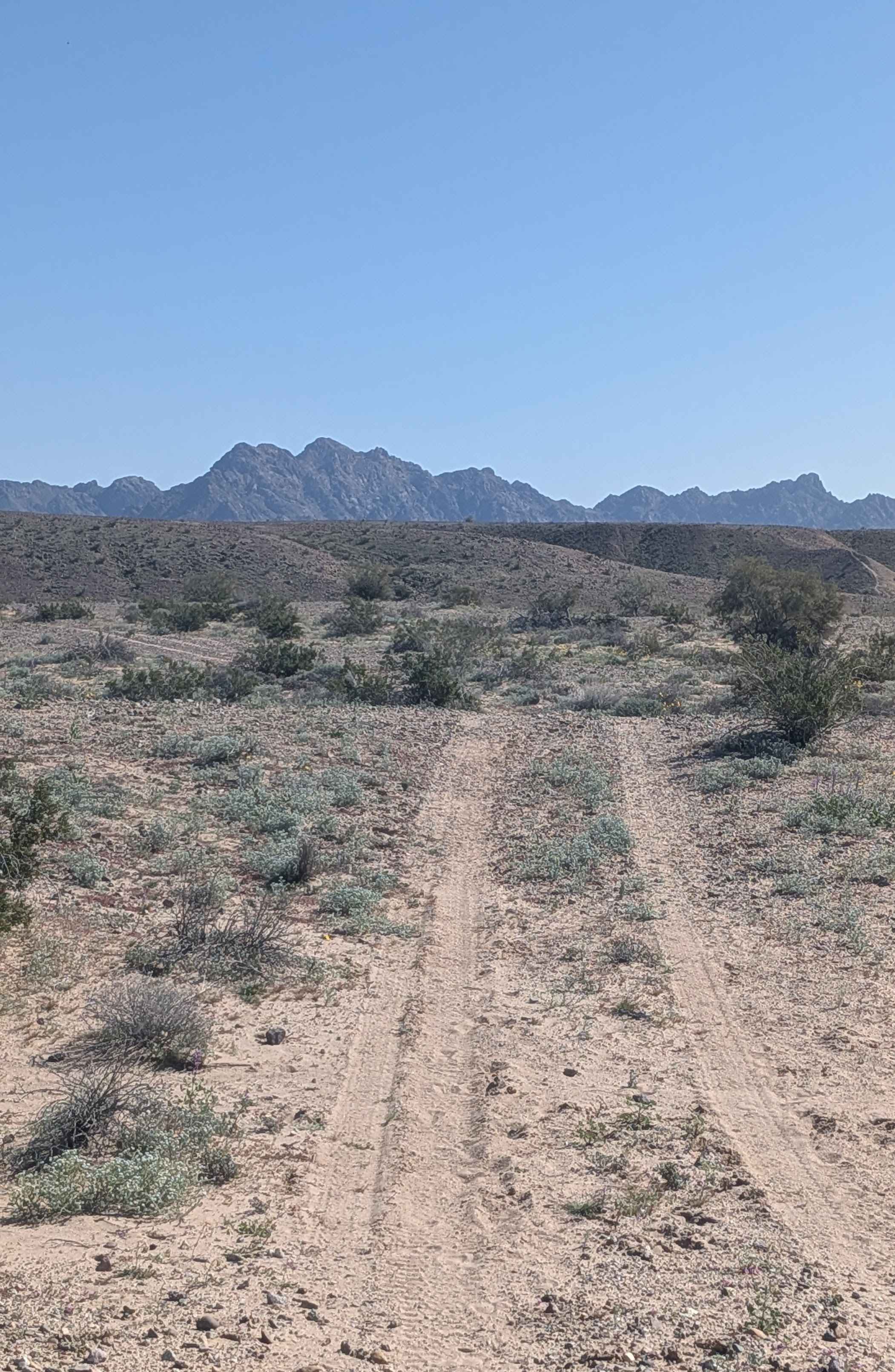
This short dirt bike trail starts on the west end as a wide path on the hilltops at the intersection with 31065. The beginning is the steepest part, as it drops down a wide and rutted split-line descent, with loose rocks on loose dirt and deep ruts on the side of the trail. It drops into a wash and continues as a narrow trail winding in and out of the wash and between scraggly bushes. It often splits in and out of the wash on parallel paths. It keeps snaking through the wash, sometimes with more enormous boulders and rocks to avoid, but not significant obstacles. It passes the intersection for 31167, a different branch of the wash, and follows the wash until it ends at the Garfias Wash. Since this trail is on Arizona State Trust Land, it requires are required to obtain to permit that you
Photos of Garfias Connector

Difficulty
While the section in the wash is easier, the initial descent makes this still an intermediate trail because it is extremely steep and loose and rutted.
Status Reports
Garfias Connector can be accessed by the following ride types:
- Dirt Bike
Garfias Connector Map
Popular Trails
Joy Lane to Quarry Part 2
Fence Line Drop In

French Lily Mine Mill Site
The onX Offroad Difference
onX Offroad combines trail photos, descriptions, difficulty ratings, width restrictions, seasonality, and more in a user-friendly interface. Available on all devices, with offline access and full compatibility with CarPlay and Android Auto. Discover what you’re missing today!