FS 9248F & 9249F
Total Miles
3.5
Technical Rating
Best Time
Spring, Summer, Fall
Trail Type
Full-Width Road
Accessible By
Trail Overview
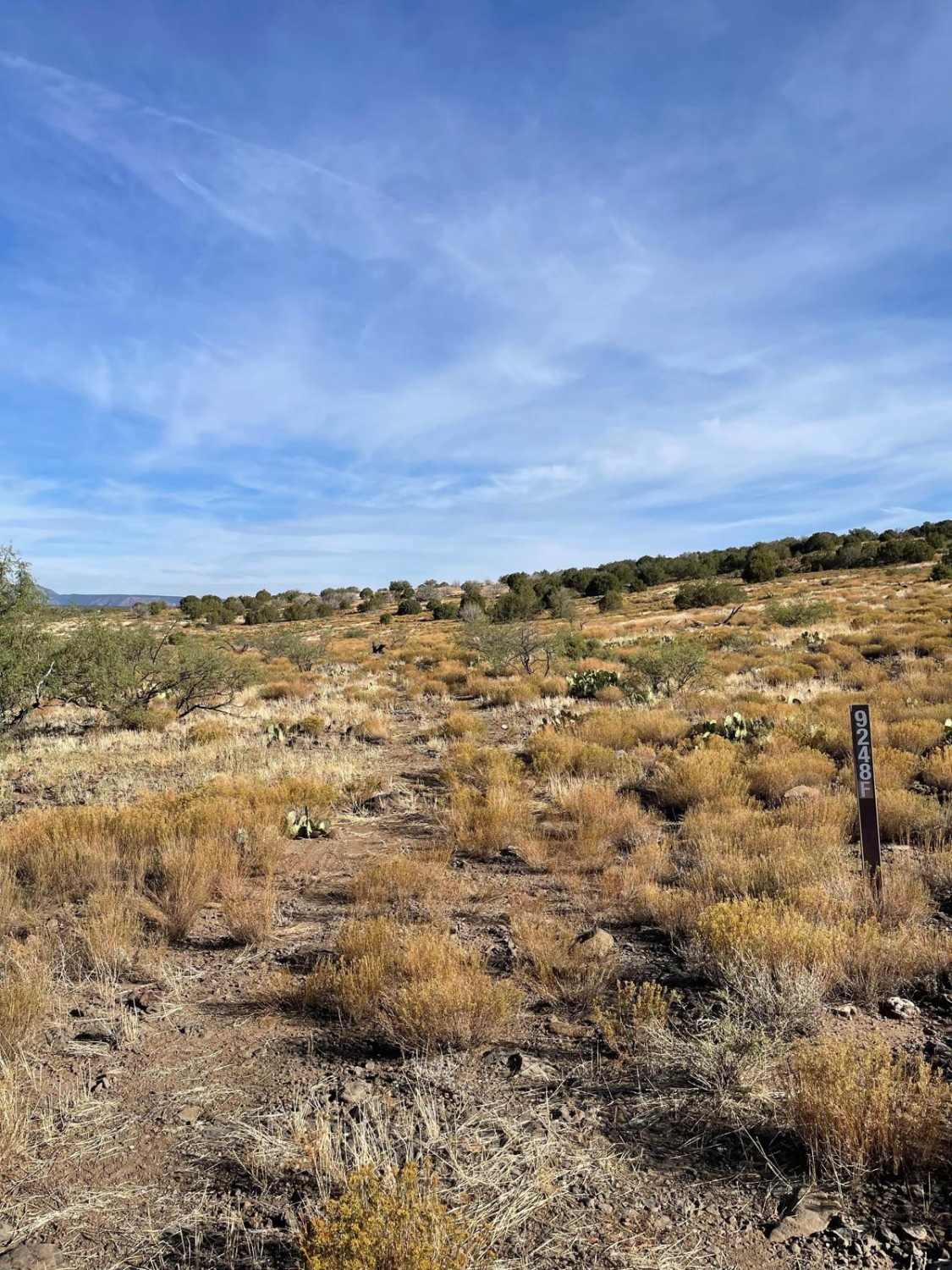
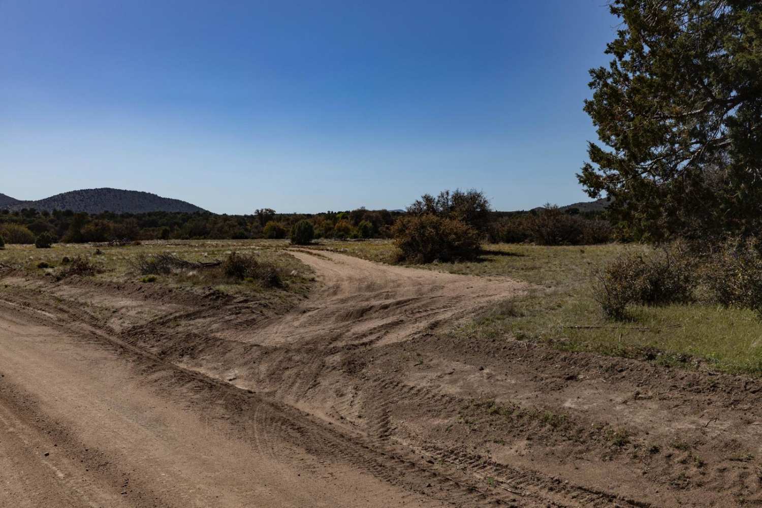
This trail consists of two forest roads, Forest Service 9248F & 9249F. This trail's rockiest and rough areas are mainly located along the southern regions on Forest Road 9248F. The trail is very faint in many places along this section. Be cautious of large rocks hiding under vegetation in the trail's center. There are lots of loose stones and rock gardens that are accompanied by short, steep hill climbs. The constant rough and rocky surface will not let up until you pass the Rays Tank. After Rays Tank, the trail is a mixture of dirt and rocky areas much more mellow than the southern portion. The start and finish of this trail are at the intersections with the Rarick Canyon Climb guided trail.
Photos of FS 9248F & 9249F

Difficulty
Expect a rough, rocky, and uneven trail with a few obstacles up to 18".
Status Reports
FS 9248F & 9249F can be accessed by the following ride types:
- High-Clearance 4x4
- SUV
- SxS (60")
- ATV (50")
- Dirt Bike
FS 9248F & 9249F Map
Popular Trails

Arrastra Creek
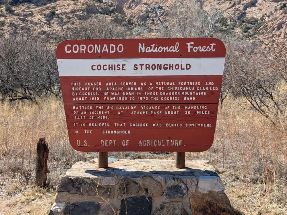
Cochise Stronghold
Sheep Tank Mine Road (BLM)
The onX Offroad Difference
onX Offroad combines trail photos, descriptions, difficulty ratings, width restrictions, seasonality, and more in a user-friendly interface. Available on all devices, with offline access and full compatibility with CarPlay and Android Auto. Discover what you’re missing today!