FS 266
Total Miles
2.0
Technical Rating
Best Time
Spring, Fall, Winter
Trail Type
Full-Width Road
Accessible By
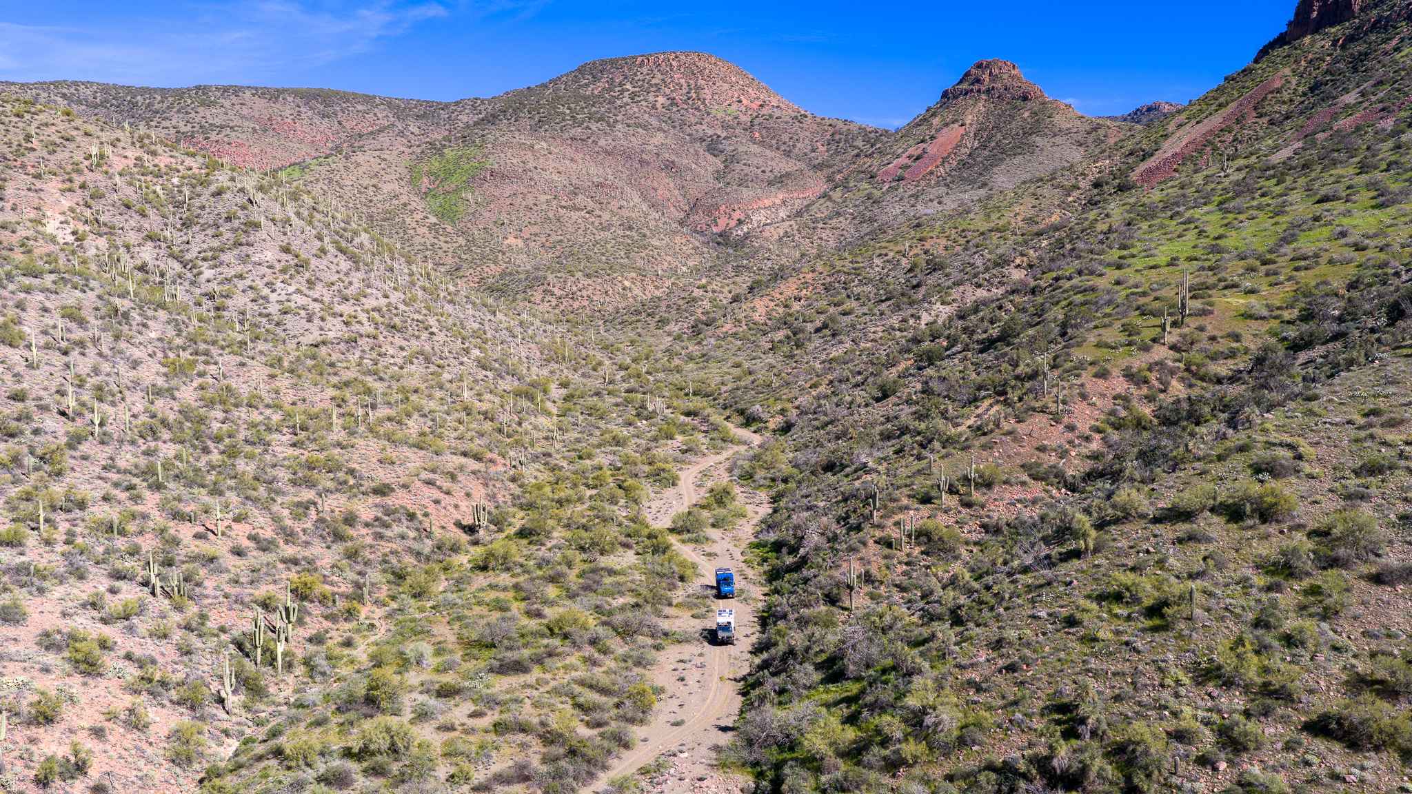
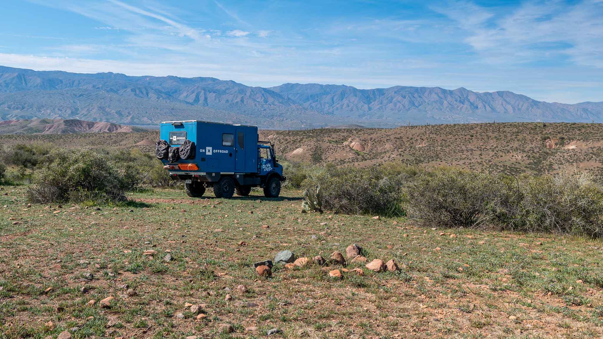
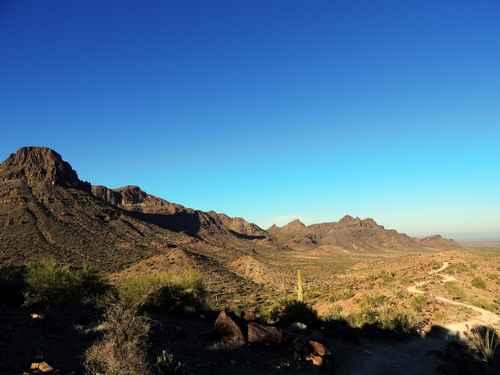
Trail Overview
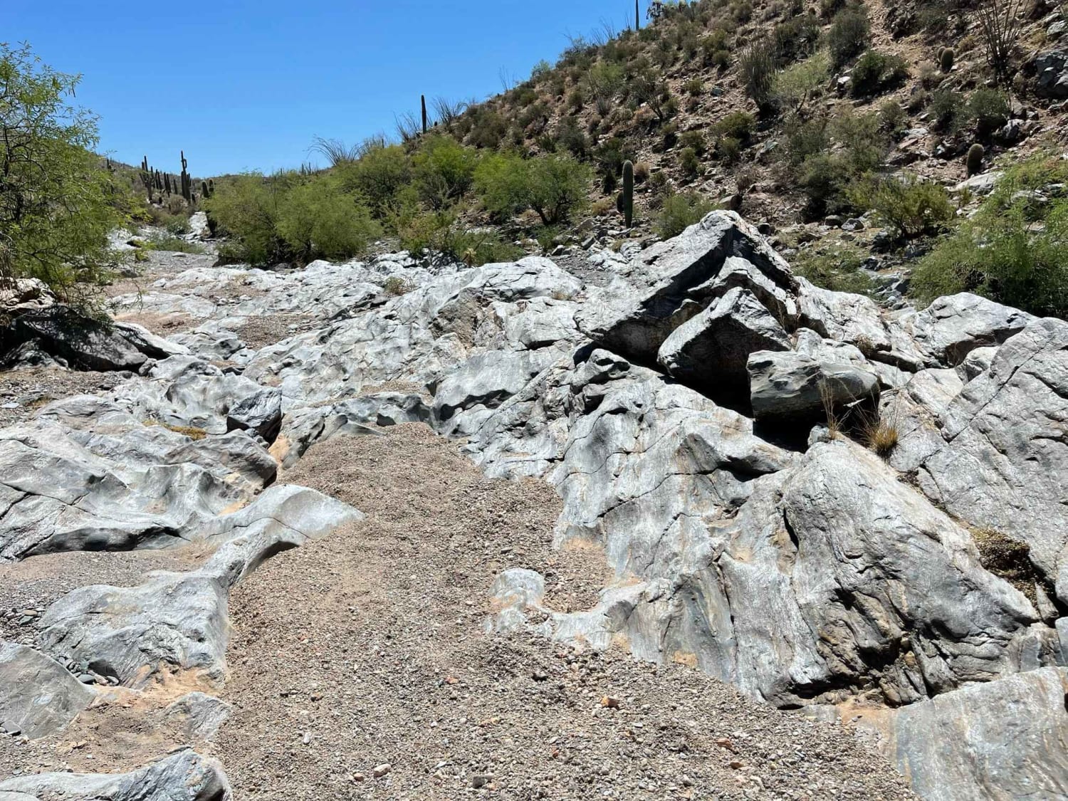
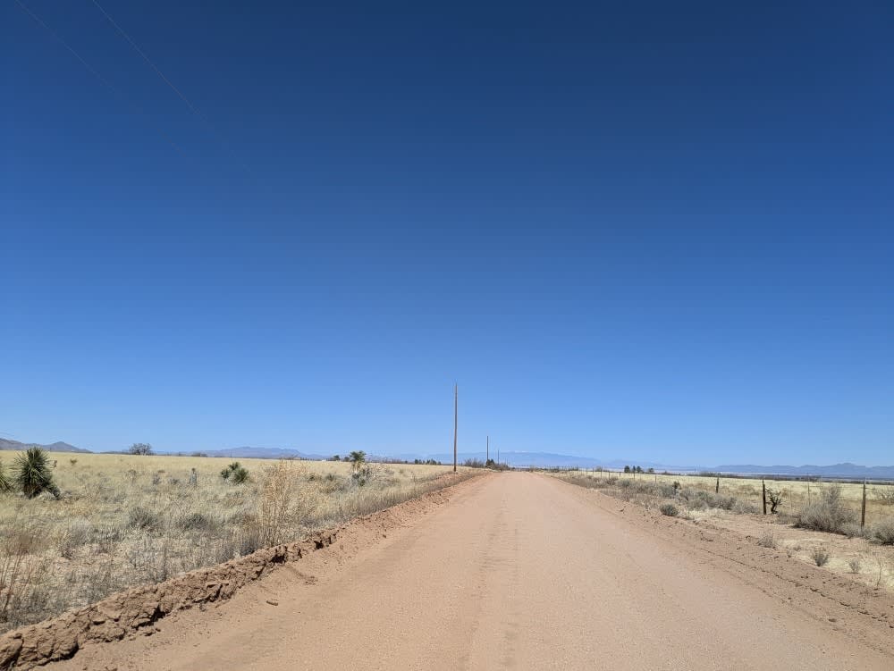
This trail starts as a faint two-track heading back into the canyon beneath Half Moon Ridge. The first stretch offers a few flat camping spots with established fire rings before the road becomes rocky and bumpy. It eventually drops into a sandy wash lined with palo verde, creating frequent pinch points and classic Arizona pinstriping. The route follows the wash deeper into a canyon with high walls on either side, ending at the historic Journigan Mine and spring, which is likely the reason this road was originally established. Along the way, you can still spot remnants of the old mining operation, including rusty metal parts and scattered barrels. The trail finishes in an even narrower wash with large exposed rocks protruding from the sand and a very tight turnaround for full-size vehicles. There are a few steep descents into the washes and one notable washout that increases the overall difficulty.
Photos of FS 266
Difficulty
This trail earns its moderate rating due to the rocky sections, steep angle drops into a wash, tight palo verde pinch points, and one large washout that requires careful tire placement. High clearance is recommended, and full-size vehicles should be prepared for tight turns and a very limited turnaround at the end.
Status Reports
FS 266 can be accessed by the following ride types:
- High-Clearance 4x4
- SUV
- SxS (60")
- ATV (50")
- Dirt Bike
FS 266 Map
Popular Trails
Preacher Pass
Lower Woody's Wash
North Wilcox Road
The onX Offroad Difference
onX Offroad combines trail photos, descriptions, difficulty ratings, width restrictions, seasonality, and more in a user-friendly interface. Available on all devices, with offline access and full compatibility with CarPlay and Android Auto. Discover what you’re missing today!