FS 1430
Total Miles
0.8
Technical Rating
Best Time
Spring, Fall, Winter
Trail Type
Full-Width Road
Accessible By
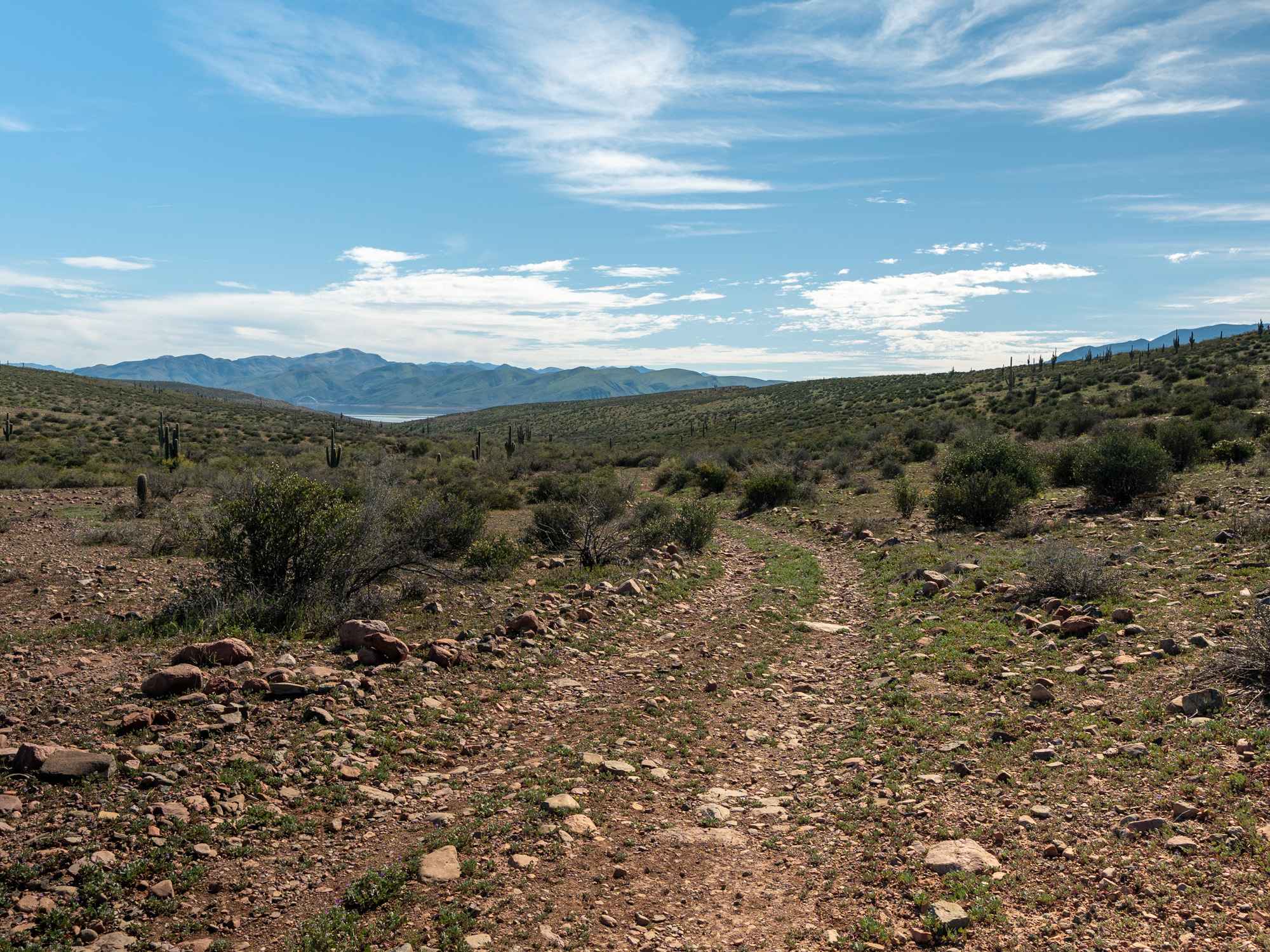
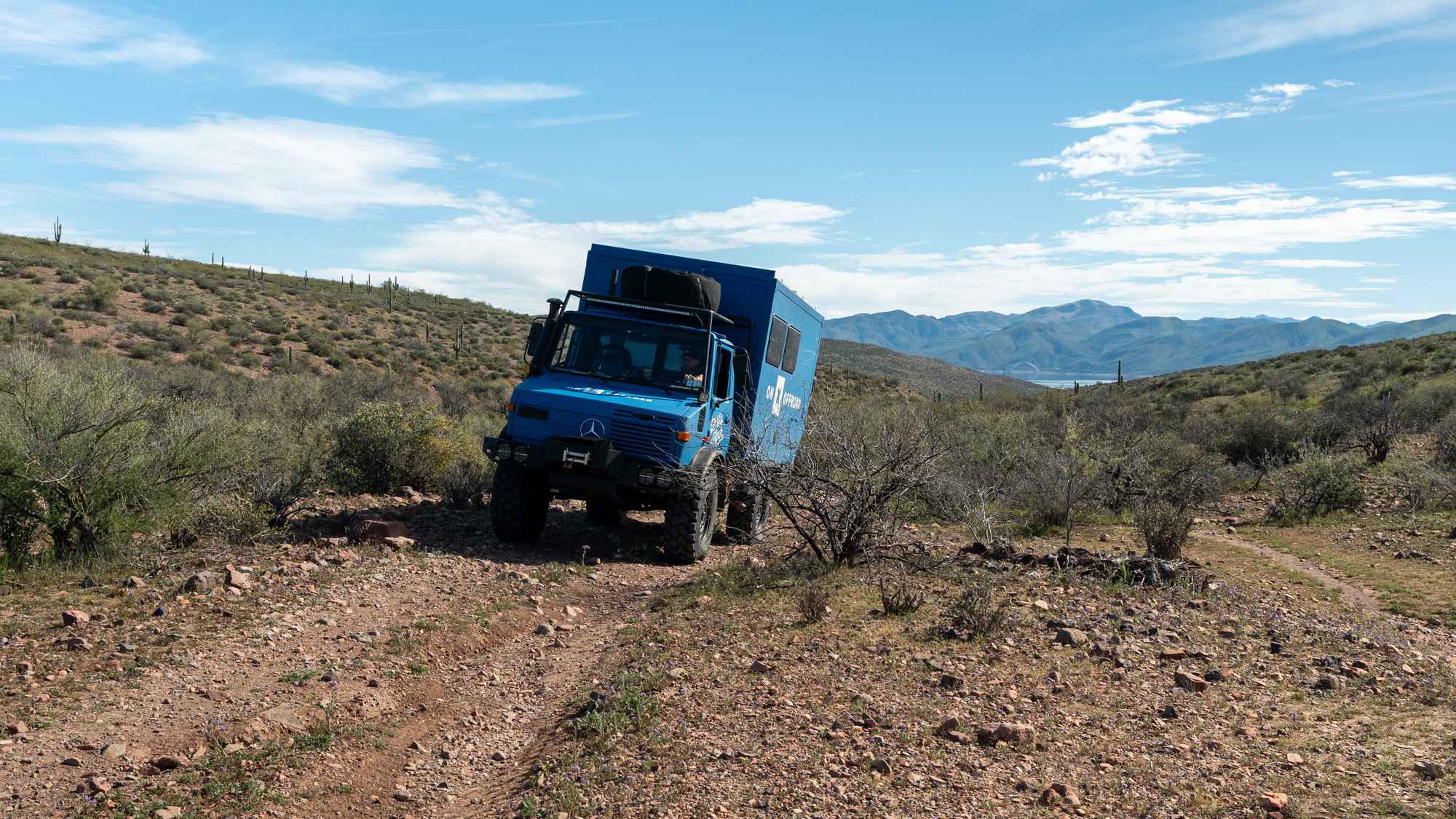
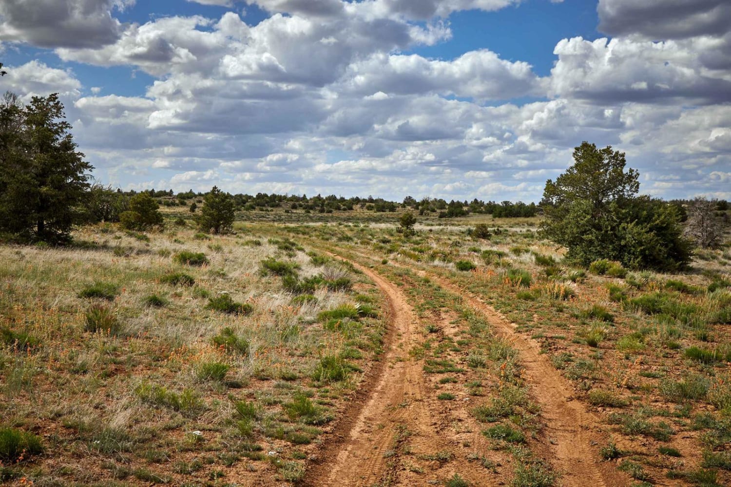
Trail Overview
This rocky and bumpy trail offers dispersed camping options scattered all along the route, making it easy to find a scenic spot to settle in. Tight brush crowds both sides of the road, so expect some classic Arizona pinstriping as you make your way through. Along the drive, you'll be treated to beautiful views of the lake and the bridge in the distance. The trail eventually ends at a wash with a small turnaround area.
Photos of FS 1430
Difficulty
This trail earns its easy rating due to the consistently rocky (but not technical) uneven surface and tight brush-lined sections. While obstacles are minimal, high clearance is helpful, and drivers should be prepared for slow travel over bumps and limited turnaround space at the end.
Status Reports
FS 1430 can be accessed by the following ride types:
- High-Clearance 4x4
- SUV
- SxS (60")
- ATV (50")
- Dirt Bike
FS 1430 Map
Popular Trails
Blue Stem Road
Old Car Camp Ajo
The onX Offroad Difference
onX Offroad combines trail photos, descriptions, difficulty ratings, width restrictions, seasonality, and more in a user-friendly interface. Available on all devices, with offline access and full compatibility with CarPlay and Android Auto. Discover what you’re missing today!