Fish East
Total Miles
1.5
Technical Rating
Best Time
Spring, Summer, Winter, Fall
Trail Type
Full-Width Road
Accessible By
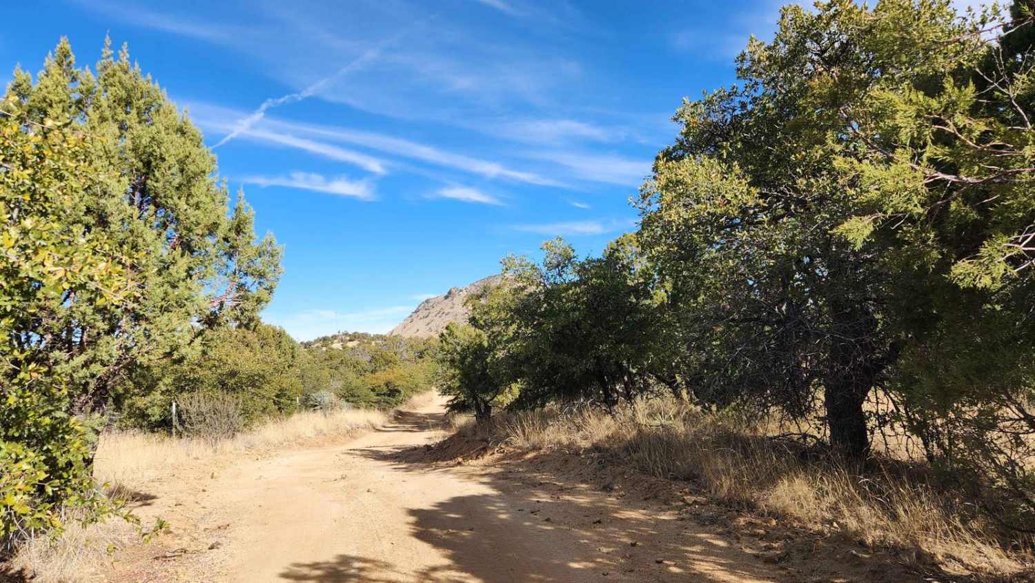
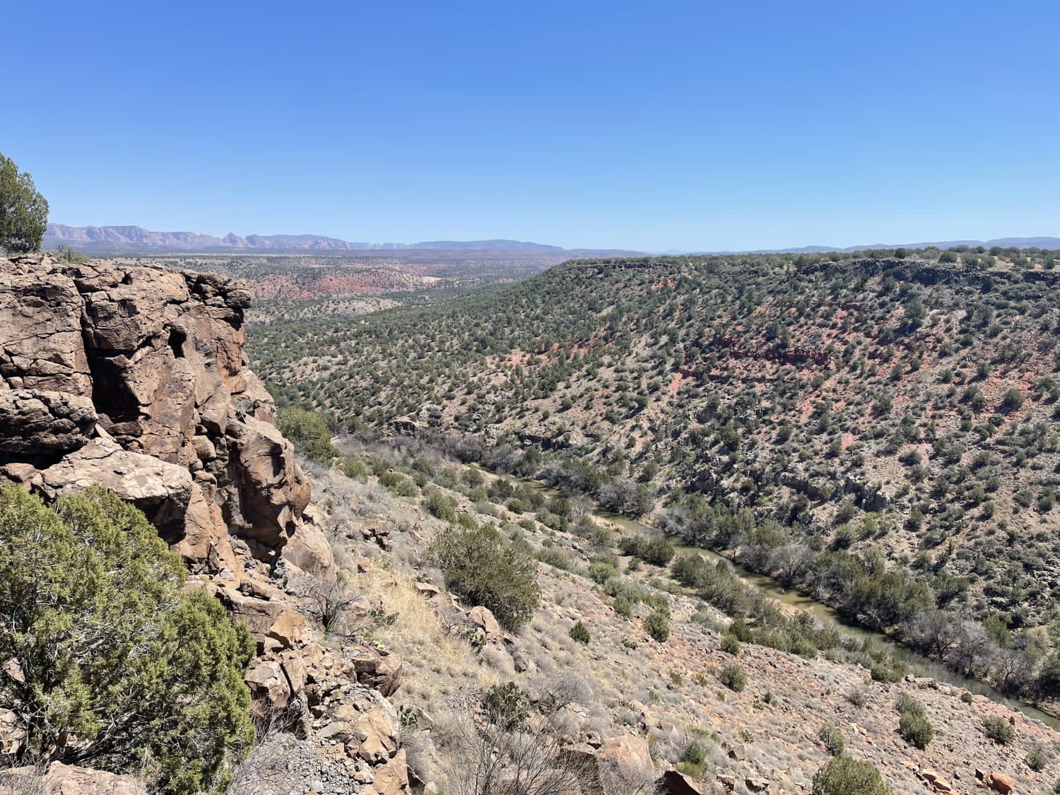
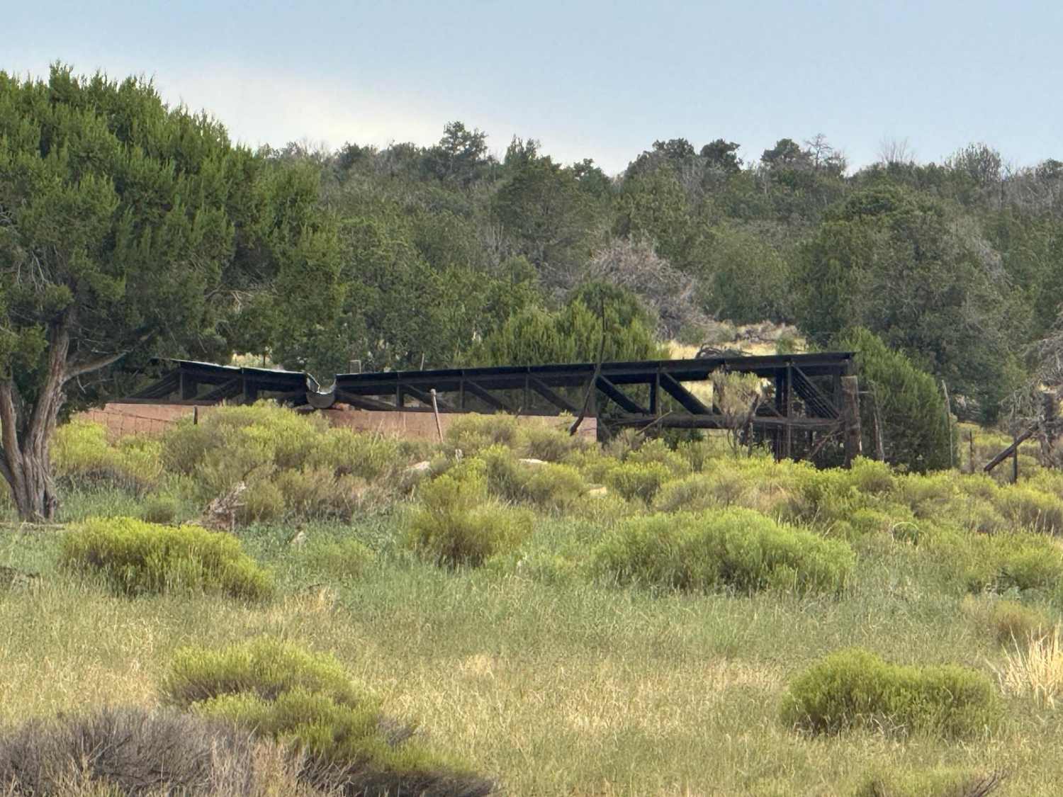
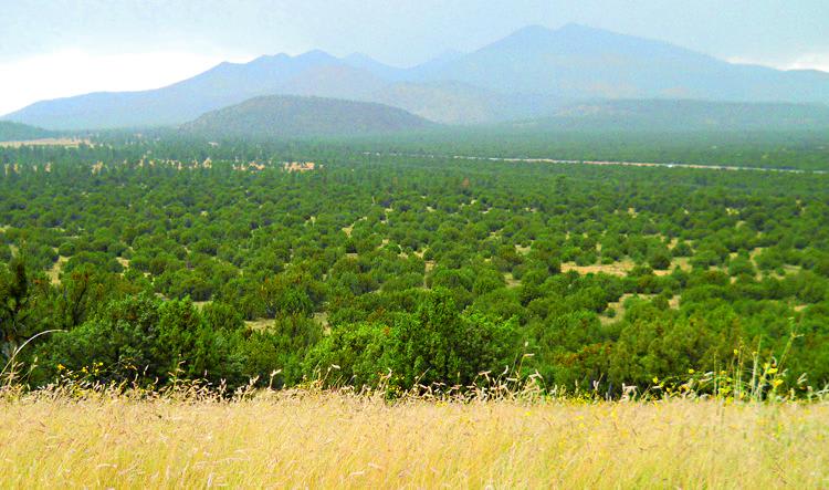
Trail Overview
Fish East is a fairly easy connector trail with few obstacles. Along Fish East, you'll discover a blend of intriguing sights and natural beauty. You'll come across remnants of old mining operations, such as those from the Santa Rita Water and Mining Company. This area is also abundant in wildlife and plant life, characteristic of the Coronado National Forest. Be on the lookout for various cacti and shrubs, as well as some desert animals. It's a fantastic place to explore! It is essential to check the weather conditions before heading out, as rain or snow can significantly impact road safety. Traveling on back roads can pose risks, so it is important to stay aware of both the weather and road conditions. Always carry plenty of water, avoid traveling alone, and let someone know your plans--these are all wise precautions. Since cell service can often be unreliable, downloading your map before your trip is a good idea. The time required to complete the trail and its level of difficulty depends on several factors, including the type of vehicle used and the capabilities of the riders. Safety should always come first!
Photos of Fish East

Difficulty
Fish East is a short road that connects Kentucky Gulch with Fish Canyon. Be sure to check the weather conditions before heading out, as rain or snow could affect the road. Traveling on back roads can be risky, so always be mindful of weather and road conditions. Carry plenty of water, never travel alone, and inform someone of your plans. Since cell service is unreliable, it's a good idea to download your map before your trip. The time to complete the trail and its difficulty depends on various factors, including the type of vehicle used and the riders' capabilities.
Fish East can be accessed by the following ride types:
- High-Clearance 4x4
- SUV
- SxS (60")
- ATV (50")
- Dirt Bike
Fish East Map
Popular Trails
O'Leary Peak Loop
FR 292 Crazy Jug Point
The onX Offroad Difference
onX Offroad combines trail photos, descriptions, difficulty ratings, width restrictions, seasonality, and more in a user-friendly interface. Available on all devices, with offline access and full compatibility with CarPlay and Android Auto. Discover what you’re missing today!