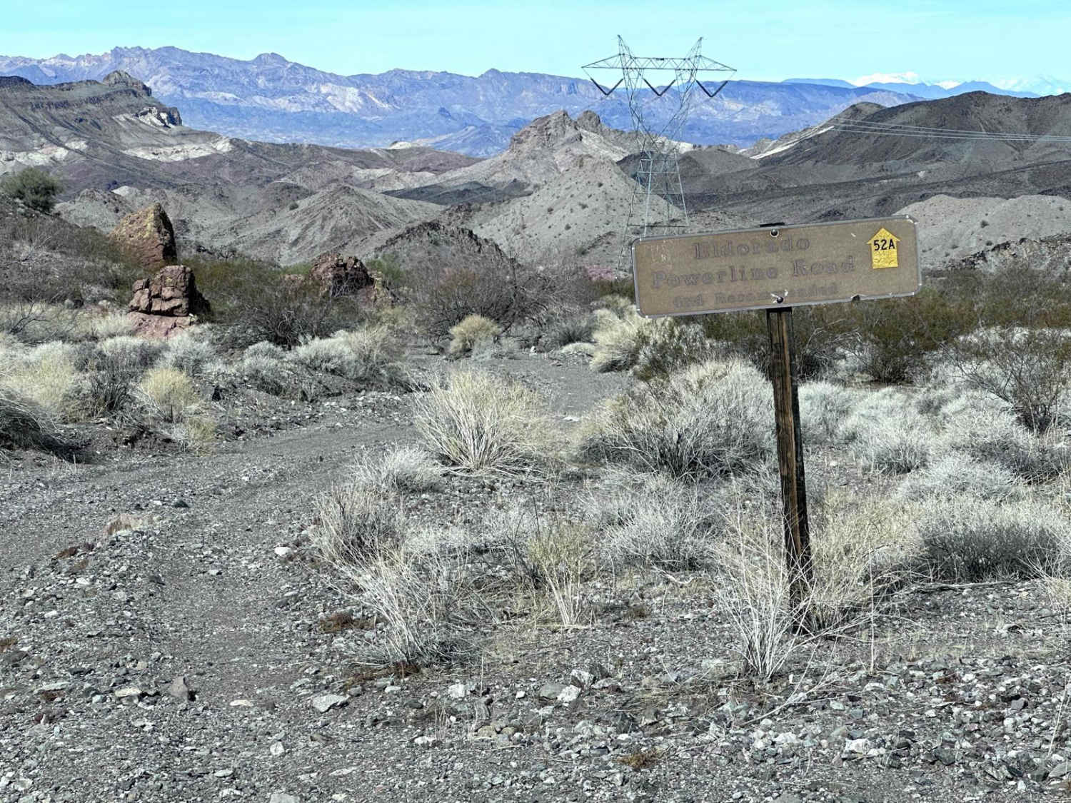
Eldorado Powerline Trail
Total Miles
6.6
Technical Rating
Best Time
Spring, Fall, Winter
Trail Type
Full-Width Road
Accessible By
Trail Overview
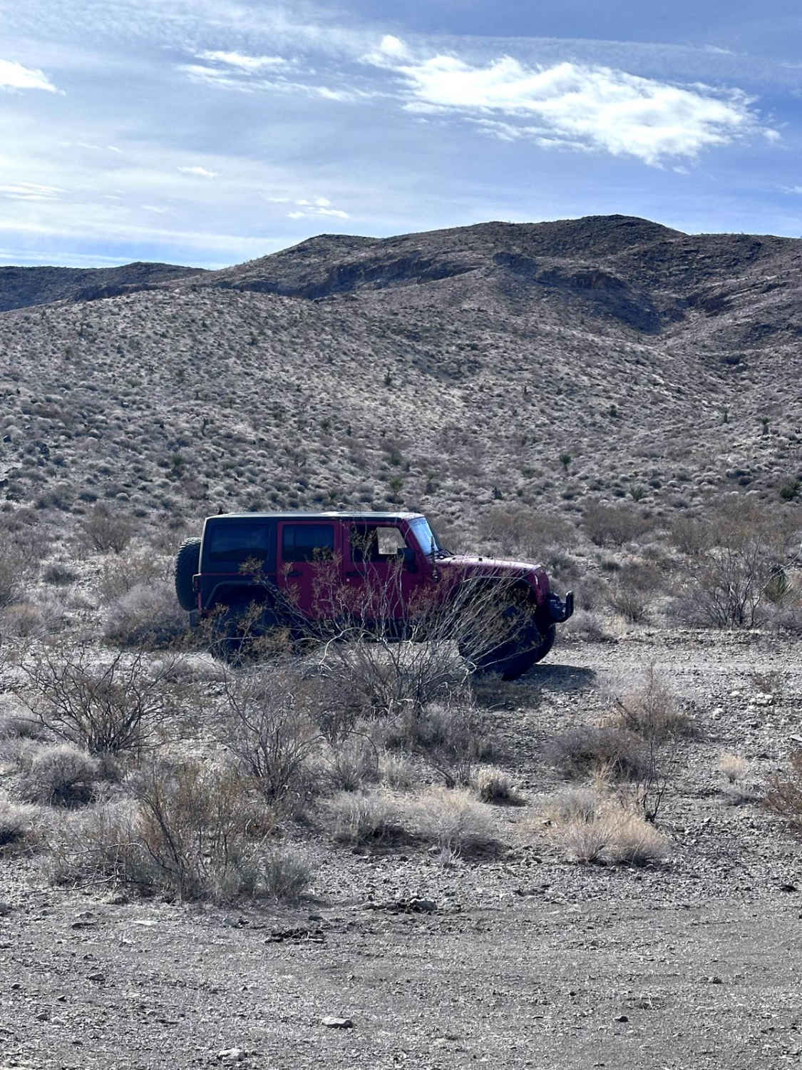
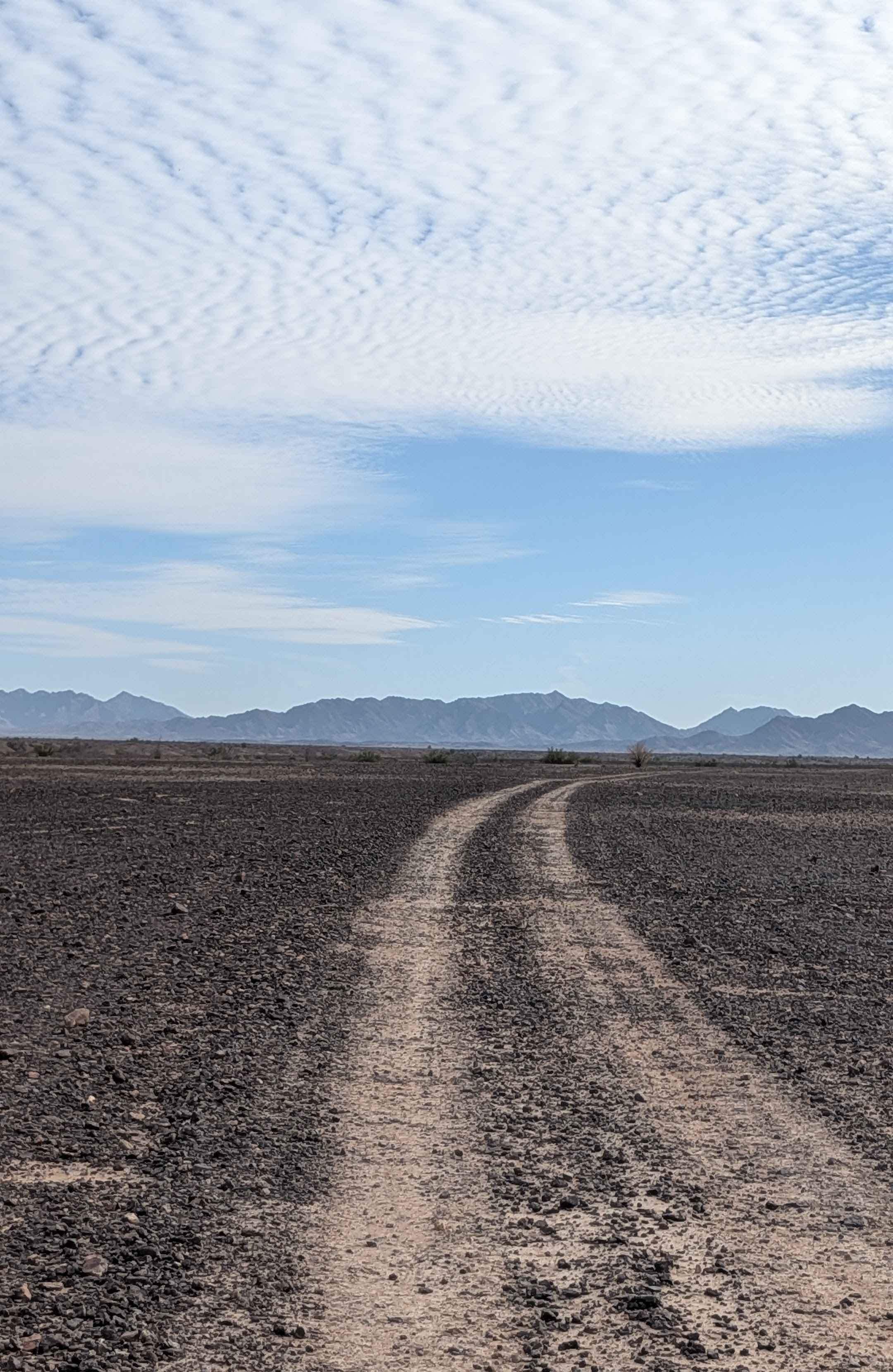
This 6.6 mile point to point trail takes you along power lines up and through the Black Mountain Range. A portion of the trail crosses open desert as you approach the Black Mountains. Once you climb up and pass over, you have expansive views of the Lake Mohave valley. The trail then follows along mountain spurs and crosses washes. There are sections with erosion damage up to 12" in depth. This trail is passable by most 4WD vehicles.
Photos of Eldorado Powerline Trail
Difficulty
Uneven dirt trails with erosion damage up to 12" in depth.
Status Reports
Eldorado Powerline Trail can be accessed by the following ride types:
- High-Clearance 4x4
- SUV
- SxS (60")
- ATV (50")
- Dirt Bike
Eldorado Powerline Trail Map
Popular Trails

Agway Road-BLM1018

The onX Offroad Difference
onX Offroad combines trail photos, descriptions, difficulty ratings, width restrictions, seasonality, and more in a user-friendly interface. Available on all devices, with offline access and full compatibility with CarPlay and Android Auto. Discover what you’re missing today!