EC1141
Total Miles
3.9
Technical Rating
Best Time
Winter, Fall, Spring
Trail Type
Full-Width Road
Accessible By
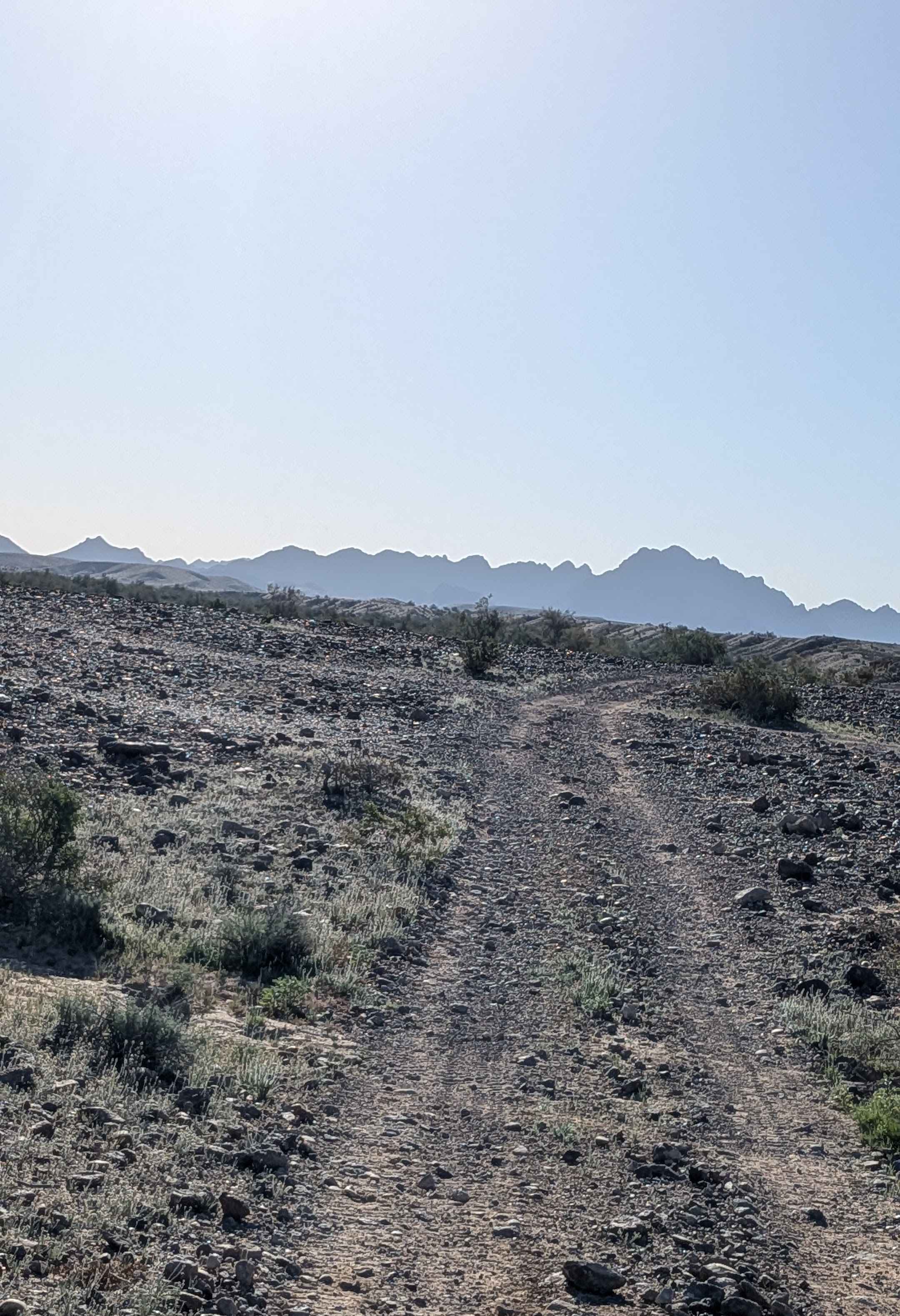
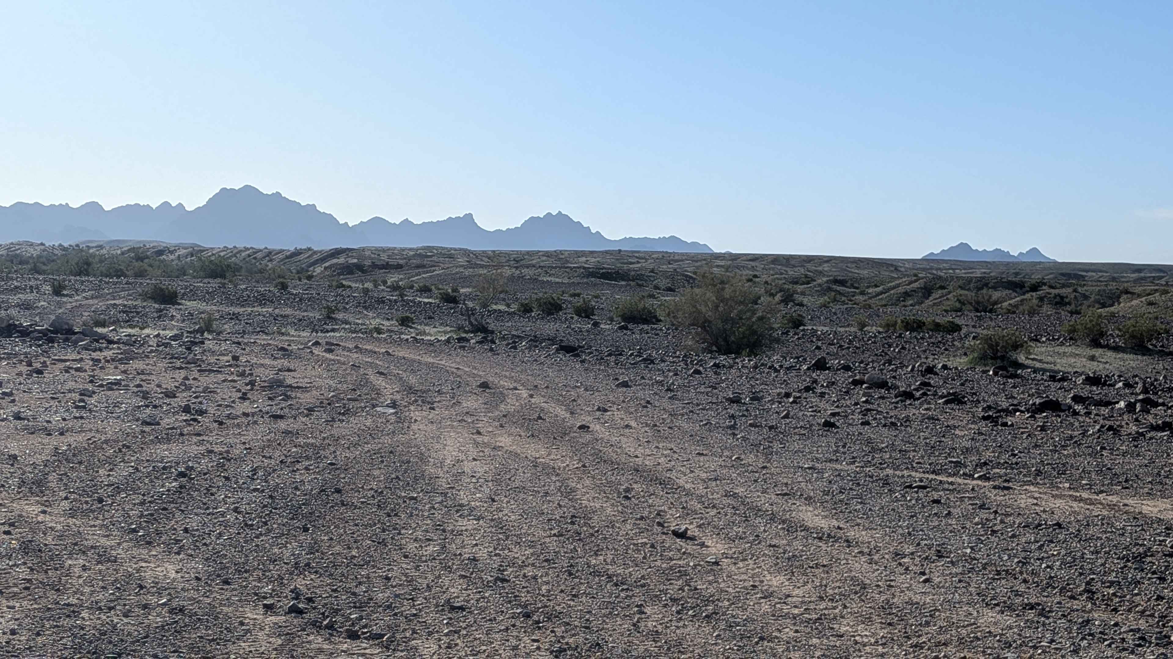
Trail Overview
This 4-mile trail starts on EC1146 and ends on EC1131, featuring hard-packed sand with embedded rocks ranging from pebble to softball sizes. The route immediately climbs up onto a ridgeline, giving dramatic 360-degree views of the surrounding area. You'll enjoy great views of the surrounding mountains, including the Trigo Mountains, throughout. The trail weaves its way through the hills as it climbs, navigating some shelf roads and off-camber sections along the way. The nearby town of Cibola is visible from the elevated position. The area sits on a plateau, which is fairly barren with a sparse amount of brush and trees, though seasonal wildflowers are abundant at times, adding color. You'll encounter some ruts along the way and a section where you're on a slight cliff edge that demands attention.
Photos of EC1141
Difficulty
This is an easy-to-moderate trail with good surface conditions on hard-packed sand. The embedded rocks from pebble to softball size create a bumpy ride, but aren't technical obstacles. The shelf roads and off-camber sections require attention, and the slight cliff-edge section demands respect. The ruts are manageable. The ridge line position provides excellent visibility for navigation.
Status Reports
EC1141 can be accessed by the following ride types:
- High-Clearance 4x4
- SUV
- SxS (60")
- ATV (50")
- Dirt Bike
EC1141 Map
Popular Trails

Black Range Mine
AZ Peace Trail Mittry Lake Leg

Morning Star Mine
Ike Tank Trail
The onX Offroad Difference
onX Offroad combines trail photos, descriptions, difficulty ratings, width restrictions, seasonality, and more in a user-friendly interface. Available on all devices, with offline access and full compatibility with CarPlay and Android Auto. Discover what you’re missing today!