East Empire Ranch Road
Total Miles
4.5
Technical Rating
Best Time
Spring, Fall, Winter, Summer
Trail Type
Full-Width Road
Accessible By
Trail Overview
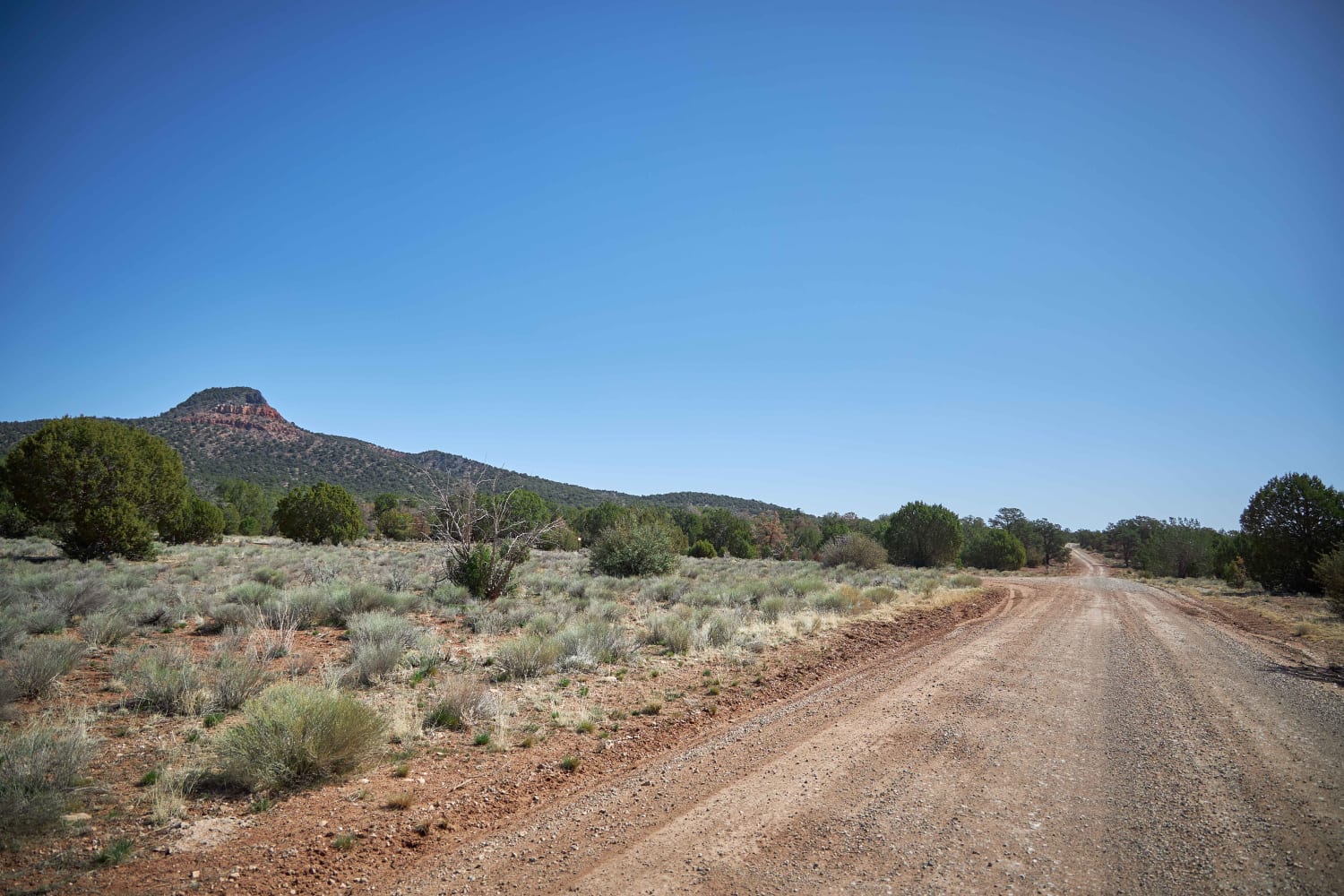
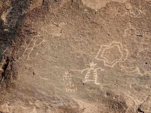
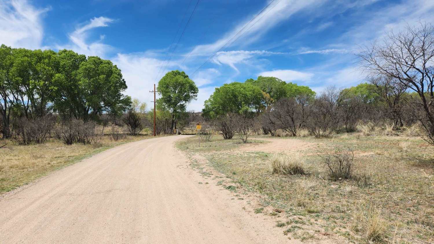
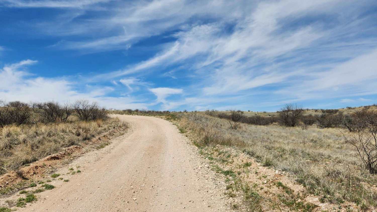
This road is a simple dirt road that is typically graded with occasional washboarding and is a gateway to much of the Cienega Creek and the Las Cienegas National Conservation Areas. Along the landscape, you will see rolling grasslands, a verdant riparian area, towering cottonwood trees, and mesquite bosque lining the roadway.
Photos of East Empire Ranch Road
Difficulty
This is a very easy desert road with few technical obstacles depending the time of year. Look out for washboarding.
History
In the 80s, this area was at risk of becoming a master planned community and golf course. In 1986, the area came under the protection of the Bureau of Land Management. Then in 1988, it became part of the National Landscape Conservation System.
Status Reports
East Empire Ranch Road can be accessed by the following ride types:
- High-Clearance 4x4
- SUV
- SxS (60")
- ATV (50")
- Dirt Bike
East Empire Ranch Road Map
Popular Trails

General Grant's Mine

Boundary Old 320 Road

Central FS 214

Birthing Place
The onX Offroad Difference
onX Offroad combines trail photos, descriptions, difficulty ratings, width restrictions, seasonality, and more in a user-friendly interface. Available on all devices, with offline access and full compatibility with CarPlay and Android Auto. Discover what you’re missing today!

