Butterfield Lane
Total Miles
2.2
Technical Rating
Best Time
Winter, Fall, Spring
Trail Type
Full-Width Road
Accessible By
Trail Overview
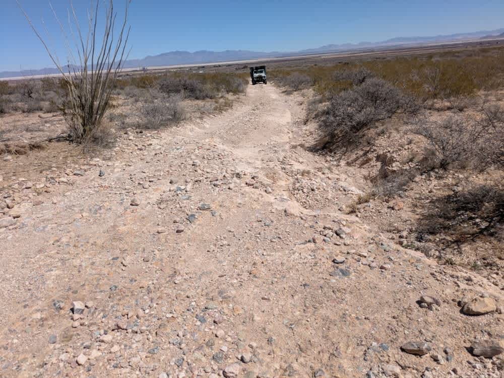
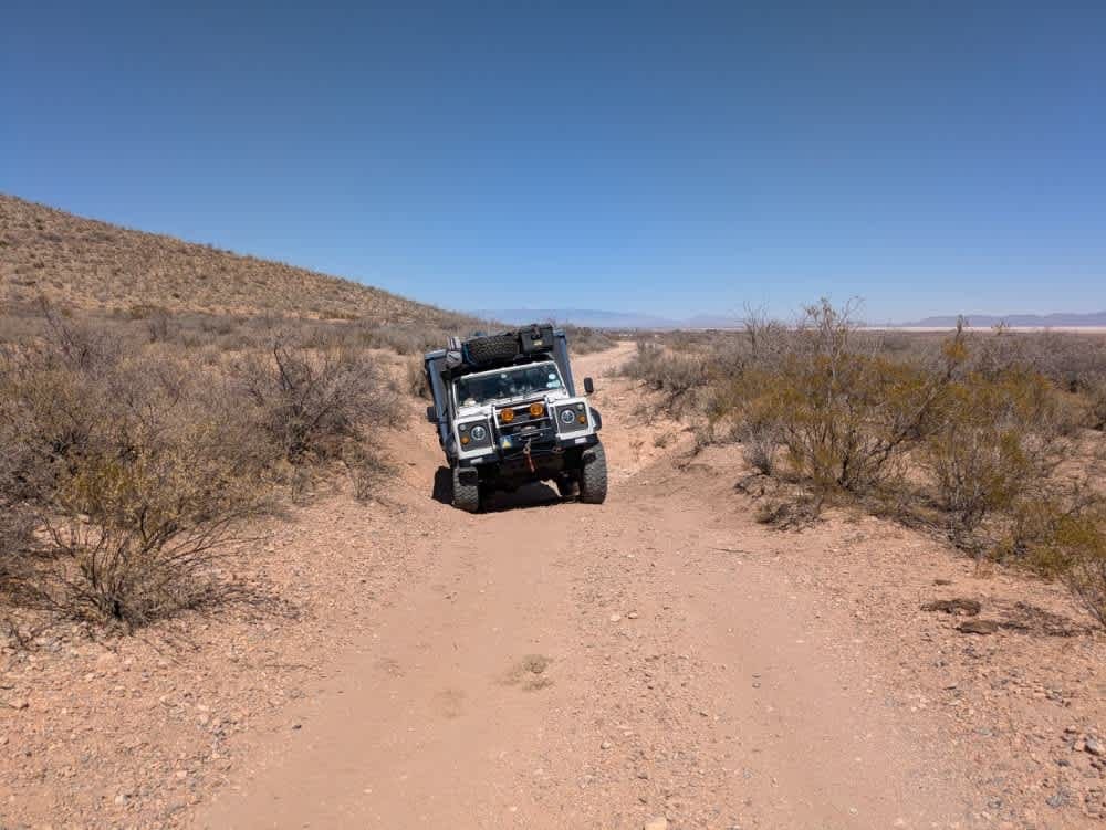
The road is maintained up to the entrance gate for Arizona State Land, where a permit is required for access. Beyond the gate, the road becomes rocky and unmaintained. As you continue, the terrain grows increasingly off-camber, and a deep wash demands the use of four-wheel drive. Significant erosion is present along the main track, but it is passable with a capable 4x4. There are two diversions that make it easier to bypass the worst sections. The route passes through striking scenery, including a private residence with its own airstrip. There are no amenities such as trash disposal, water, or dispersed camping, and cell service is limited.
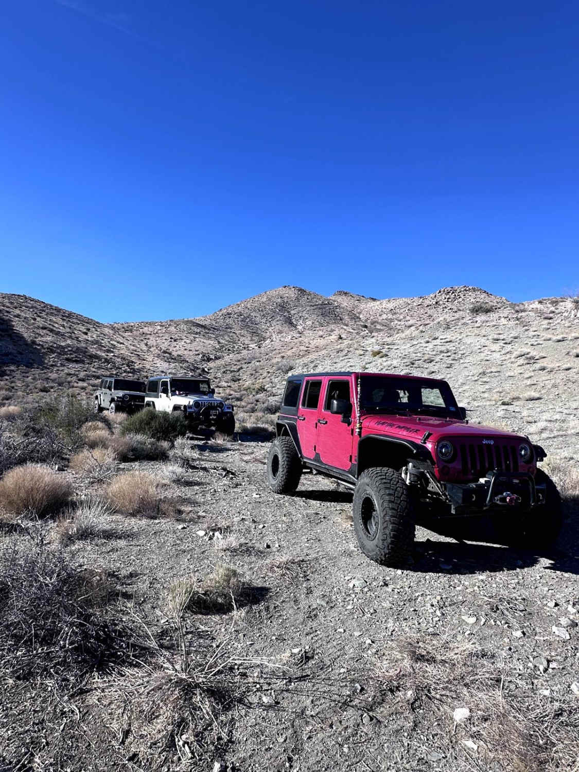
Photos of Butterfield Lane
Difficulty
This is a deep rutted and eroded road that requires a capable 4x4.
Status Reports
Butterfield Lane can be accessed by the following ride types:
- High-Clearance 4x4
- SUV
- SxS (60")
Butterfield Lane Map
Popular Trails
9D Technical Trail
Little Round Mountain
Coyote Spring

The onX Offroad Difference
onX Offroad combines trail photos, descriptions, difficulty ratings, width restrictions, seasonality, and more in a user-friendly interface. Available on all devices, with offline access and full compatibility with CarPlay and Android Auto. Discover what you’re missing today!