Bull Springs Road
Total Miles
26.1
Technical Rating
Best Time
Winter, Spring
Trail Type
Full-Width Road
Accessible By
Trail Overview
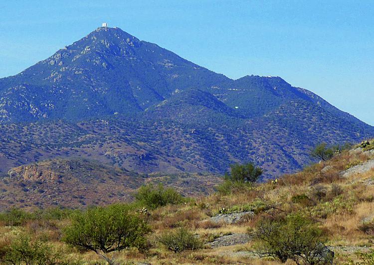
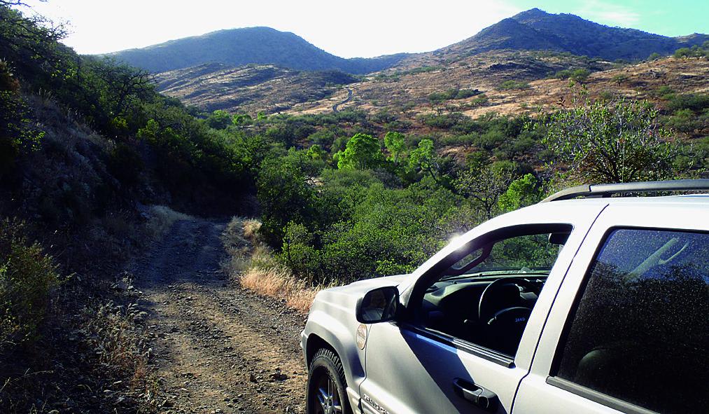
Experienced drivers will find this trail easy, but it has its share of rough sections, and it is extremely remote. You'll cross through ranchland and then hit Coronado National Forest to climb the lower part of the Santa Rita Mountains to 5,000 feet. There are some mines and cool adobe ruins you can check out at Alto Camp. There are some roads that take off from the trail that ATVs and UTVs will enjoy exploring.
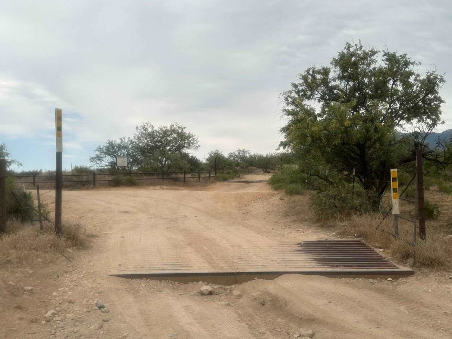
Photos of Bull Springs Road
Difficulty
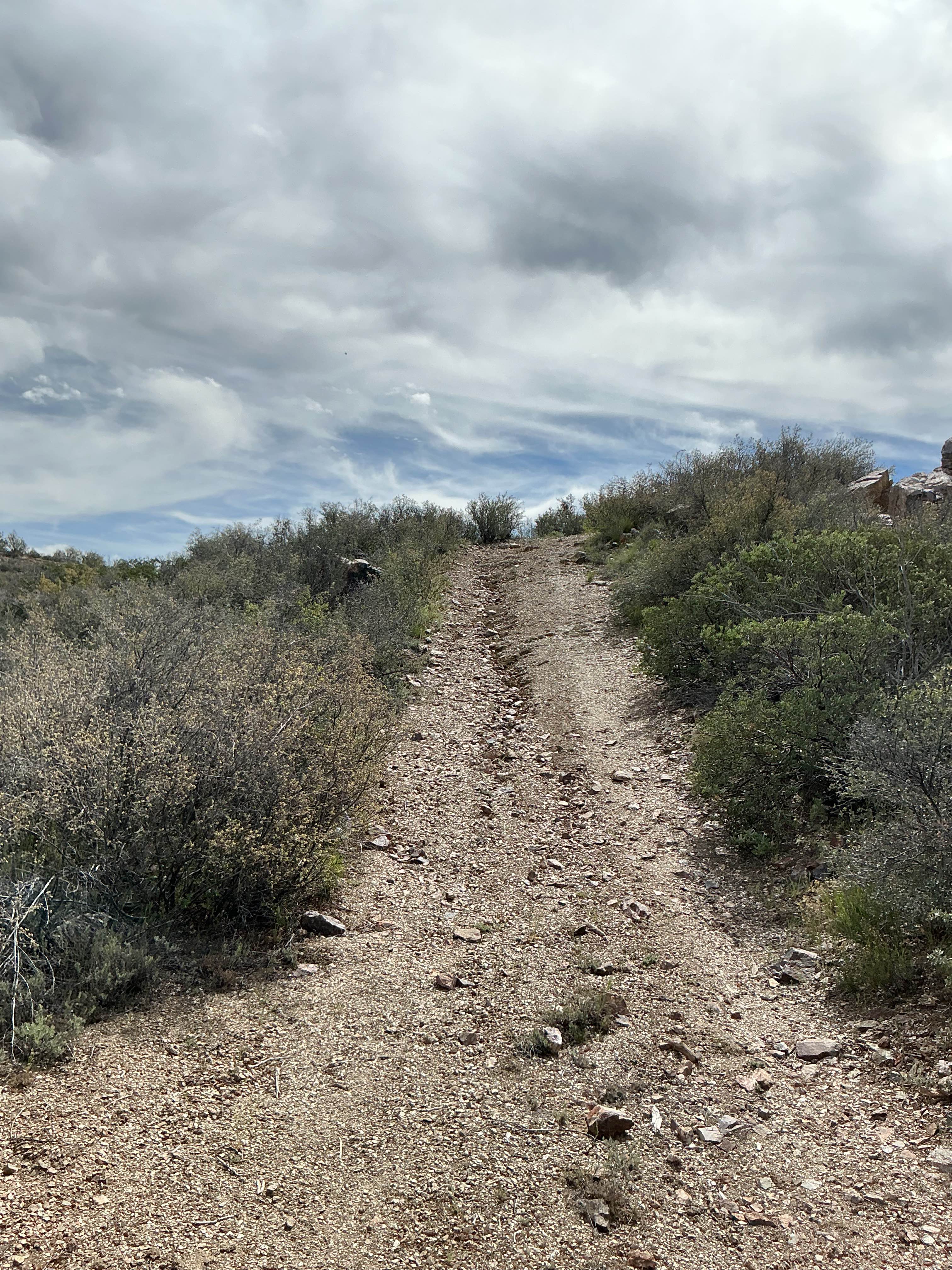
Easy: A few steep spots with ruts and minor rocky sections. Conditions subject to change following heavy rains. Four-wheel drive and high clearance are definitely needed.
History
Alto was an early mining camp started by mining engineer Josiah Bond. A post office was established there June 6, 1912. Bond's wife, Minnie, was the postmistress. Ruins include a few adobe walls of the post office and possibly part of the family residence.
Status Reports
Bull Springs Road can be accessed by the following ride types:
- High-Clearance 4x4
- SUV
- SxS (60")
- ATV (50")
- Dirt Bike
Bull Springs Road Map
Popular Trails

FR-6367 A Trio of Choices
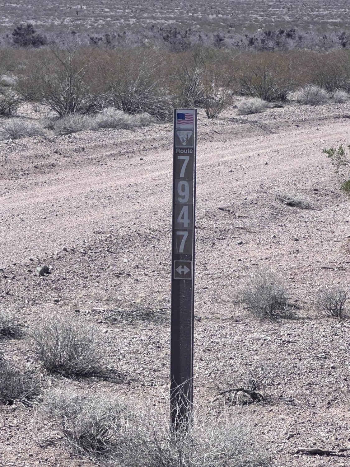
BLM Route 7947
Three Feathers Playground
The onX Offroad Difference
onX Offroad combines trail photos, descriptions, difficulty ratings, width restrictions, seasonality, and more in a user-friendly interface. Available on all devices, with offline access and full compatibility with CarPlay and Android Auto. Discover what you’re missing today!