Bc1012
Total Miles
5.7
Technical Rating
Best Time
Spring, Summer, Fall, Winter
Trail Type
Full-Width Road
Accessible By
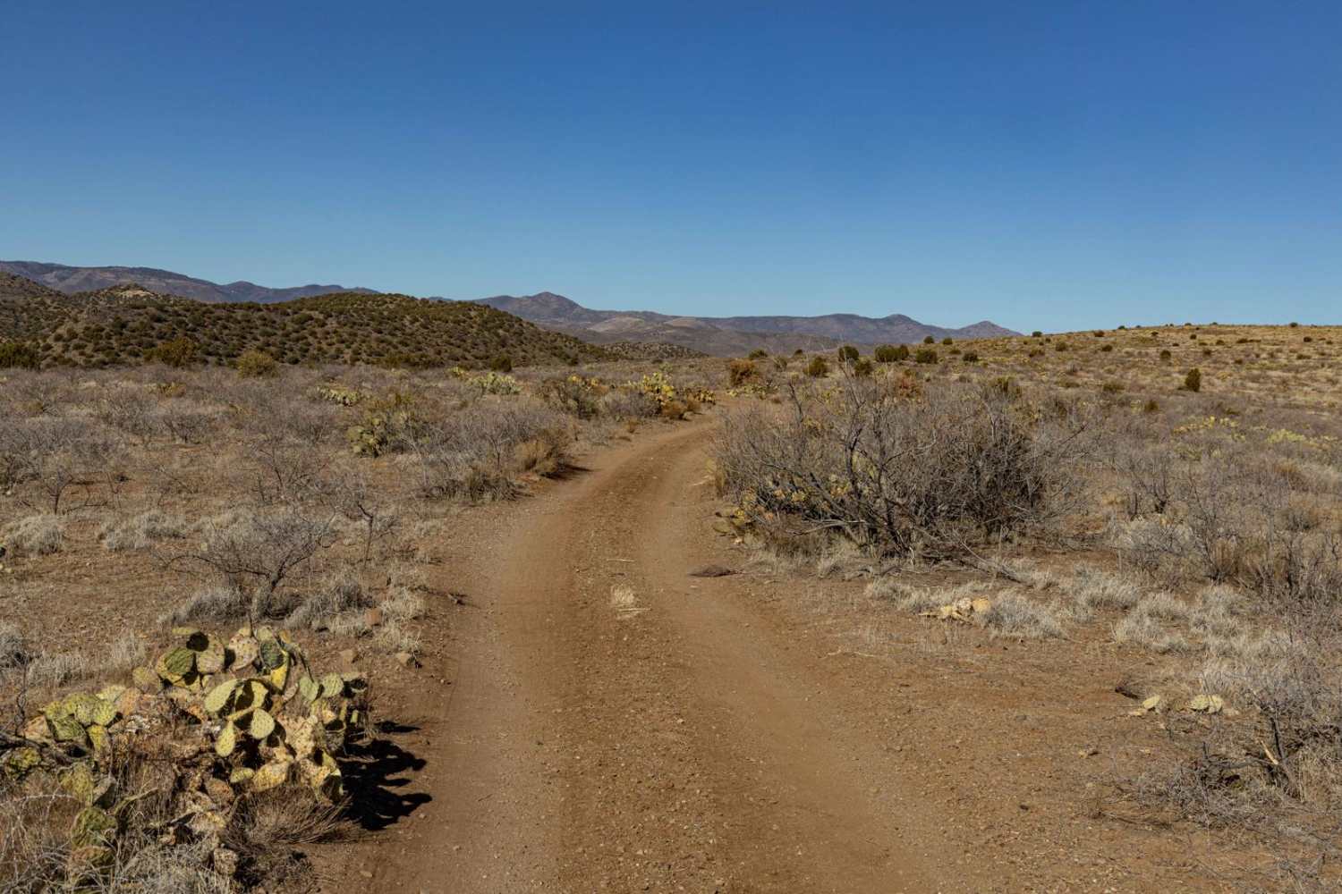
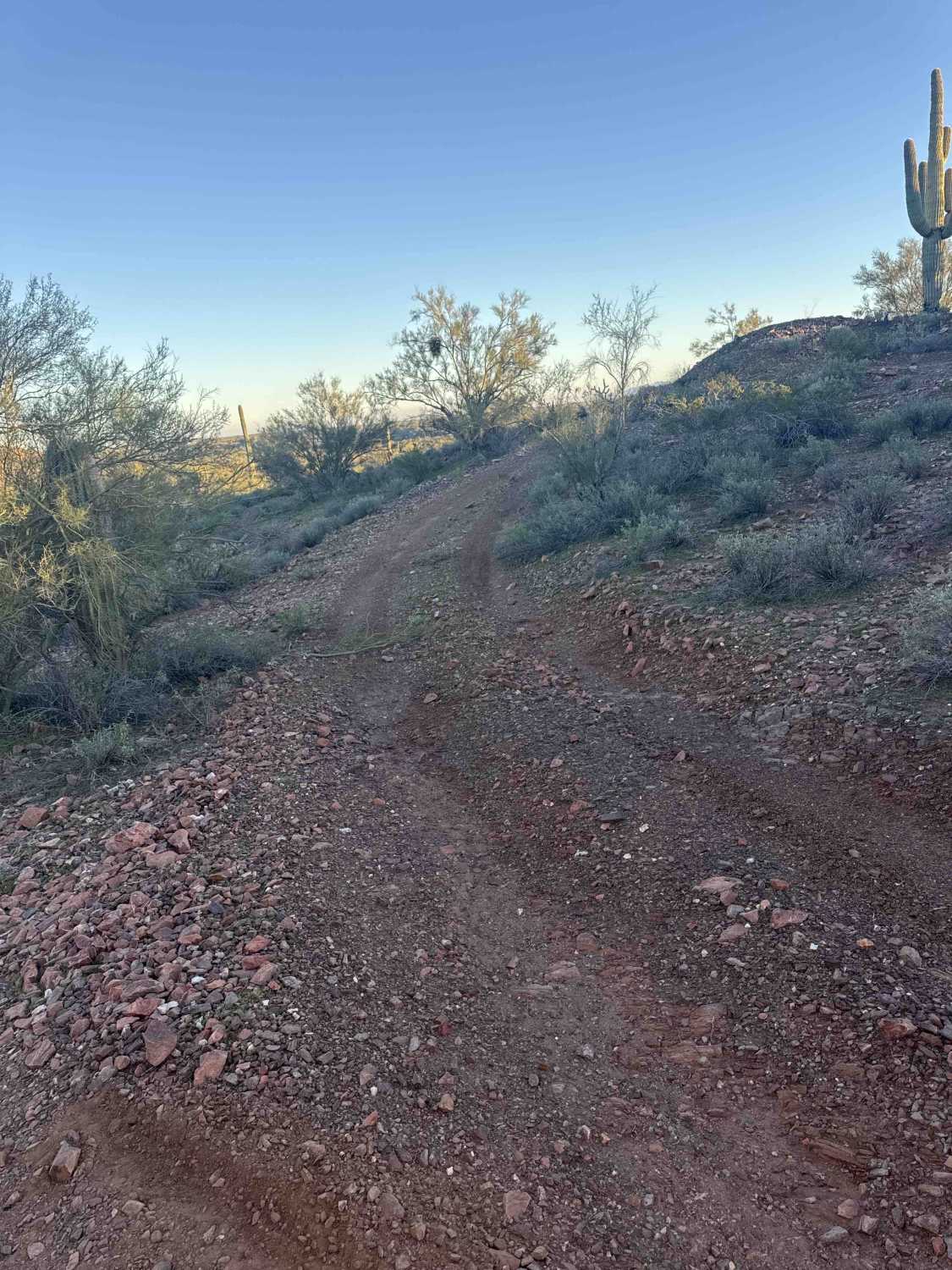
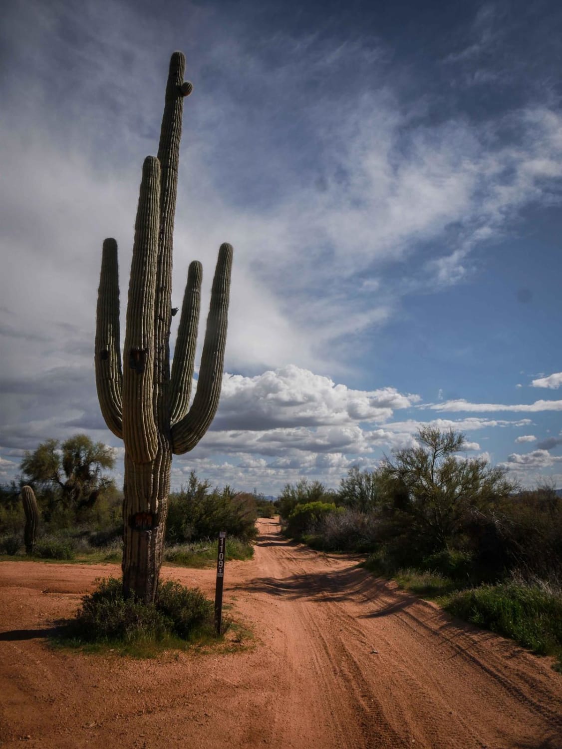
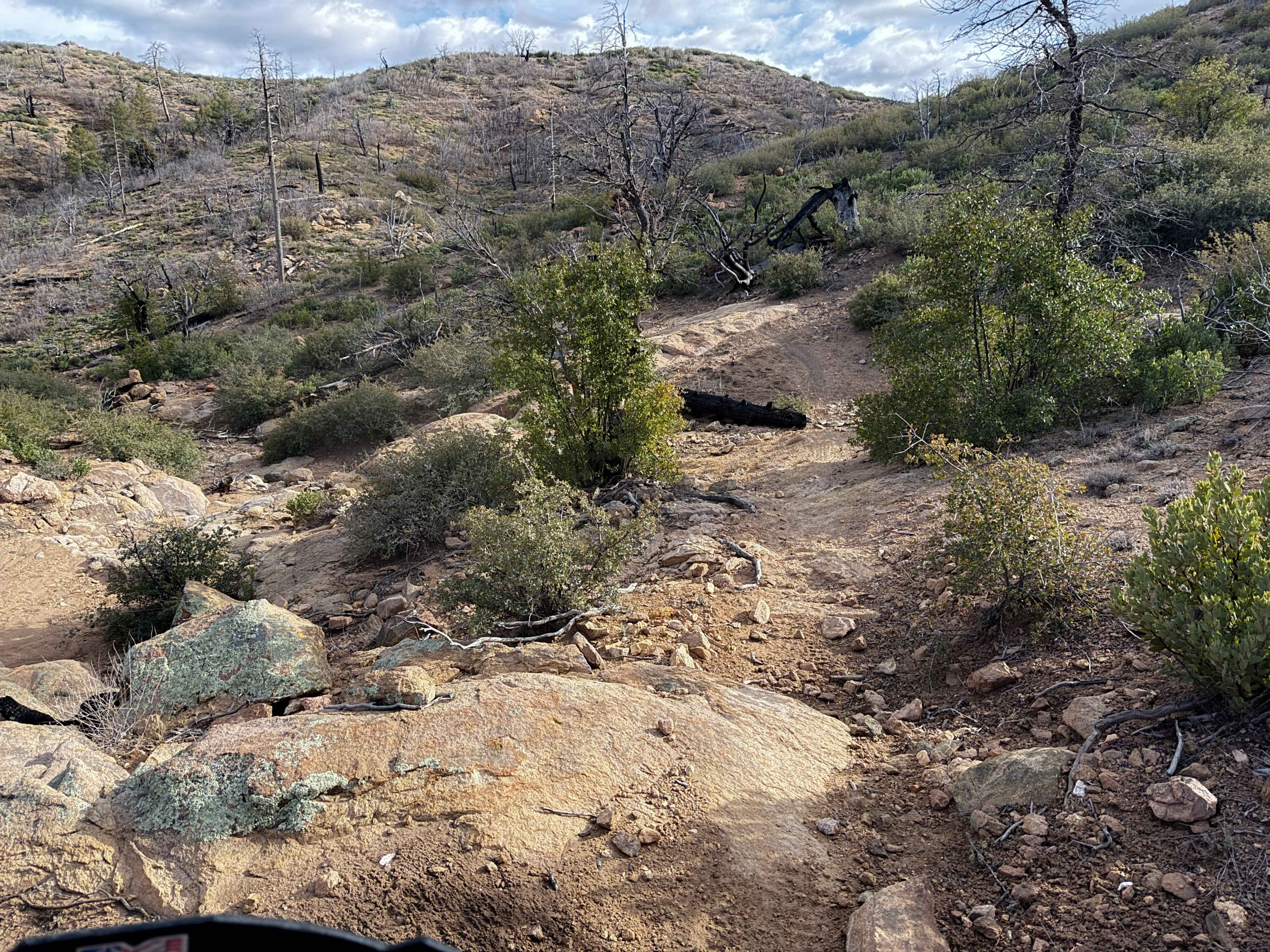
Trail Overview
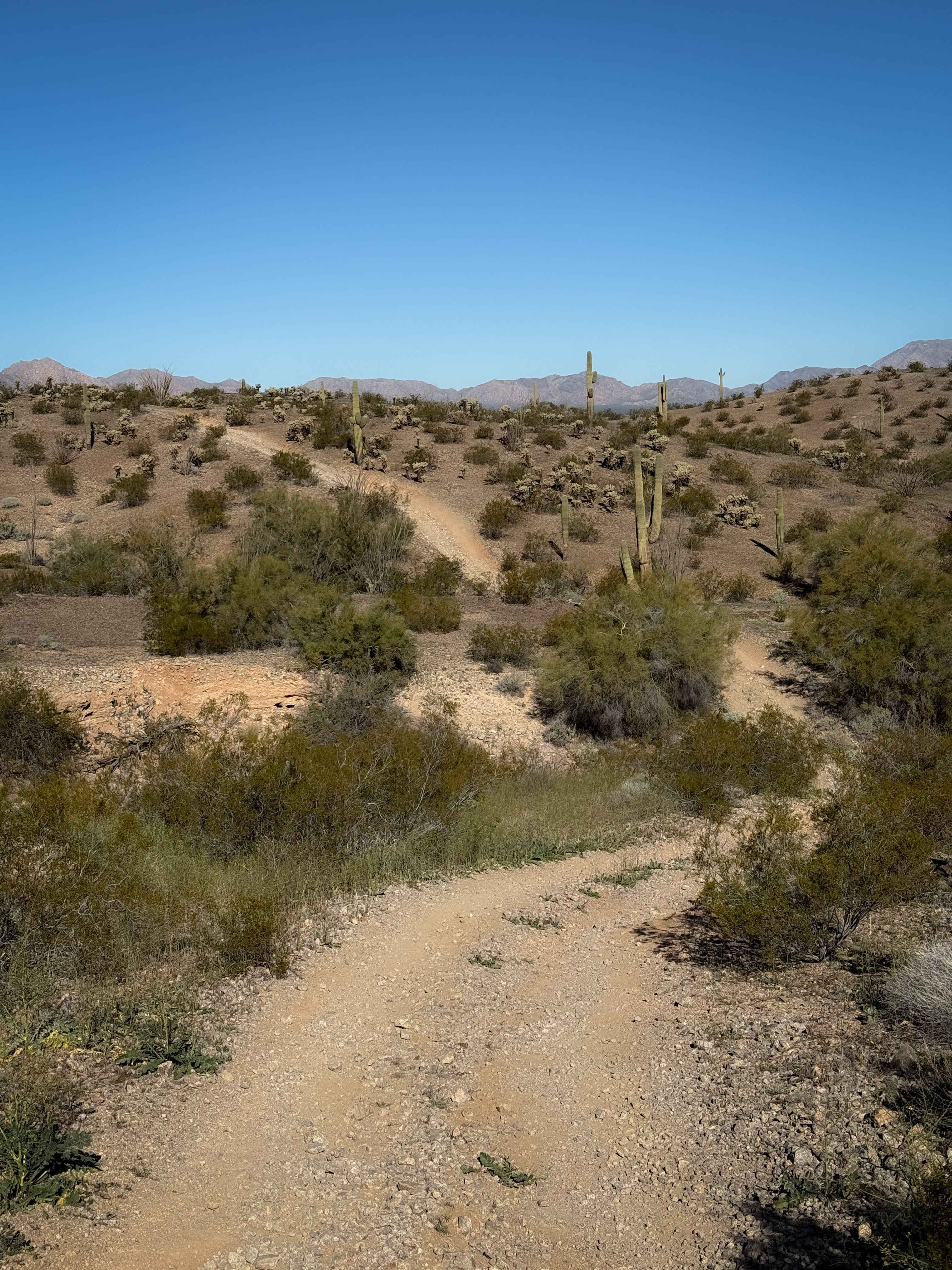
BC1012 is a rugged and rocky trail that becomes especially challenging near the mine, where erosion, washouts, and ledges are at their worst. The route features hilly terrain with loose climbs that require careful throttle control. Cows frequently roam the area, adding to the backcountry feel. Expect a mix of rough sections and technical obstacles, making this a trail best suited for experienced drivers. Cell service is spotty, with zero to one bar in some areas, so it's recommended to download offline maps before heading out.
Photos of Bc1012

Difficulty
This is an unmaintained old mining trail that features wash crossings and ditches, off camber loose rock hill climbs, and long winding sections where the views are amazing. There are mines along this route, so if you stop to explore, use extreme caution, as the ground may be unstable. Please close any gates behind you, or, if you find them open, as cattle graze this area openly.
Status Reports
Bc1012 can be accessed by the following ride types:
- High-Clearance 4x4
- SUV
- SxS (60")
- ATV (50")
- Dirt Bike
Bc1012 Map
Popular Trails
Cholla Fields
Cottonwood Trail #8 (ATV)
The onX Offroad Difference
onX Offroad combines trail photos, descriptions, difficulty ratings, width restrictions, seasonality, and more in a user-friendly interface. Available on all devices, with offline access and full compatibility with CarPlay and Android Auto. Discover what you’re missing today!