9211A to Buckhorn Trail
Total Miles
1.3
Technical Rating
Best Time
Spring, Summer, Fall, Winter
Trail Type
Full-Width Road
Accessible By
Trail Overview
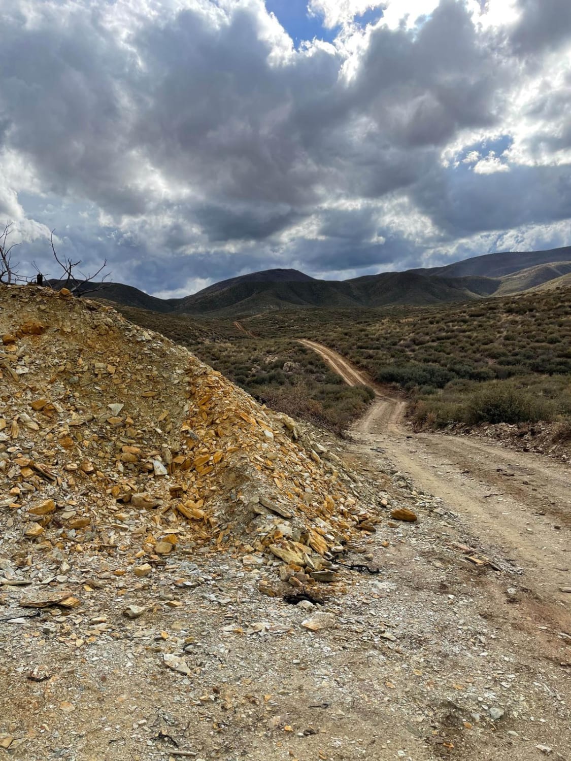
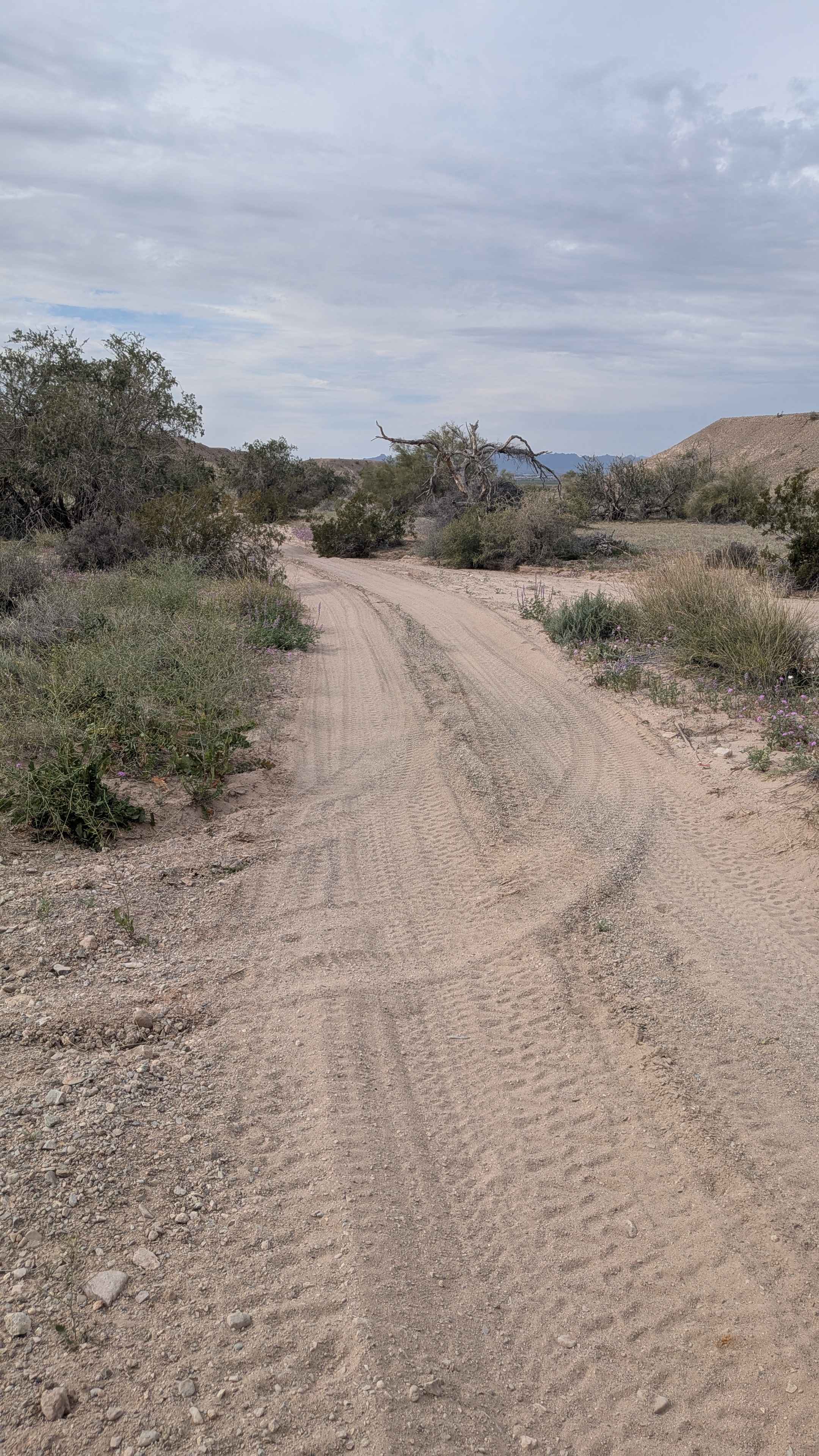
This trail starts on the south side of FS Road 87a and immediately crosses Grapevine Creek which is the biggest obstacle on this trail. The trail then leads to a green gate that you need to open and close behind you. As you climb into the Prescott National Forest foothills, there is an old building fountain from old mining activity. The path will take you right up to an abandoned mine on your left that is clearly marked with a sign. Please respect what the sign says and keep on driving. As you continue through the rolling hills, you will cross several wash areas. There are several somewhat steep inclines and declines but nothing serious. The end of this trail will take you to an old mining area and access to Buckhorn Trail which is accessible to dirt bikes, hiking, and horseback riding. Cell reception is okay on this trail. It is more than likely that you will see mule deer on this trail in the morning and evening hours.
Photos of 9211A to Buckhorn Trail
Difficulty
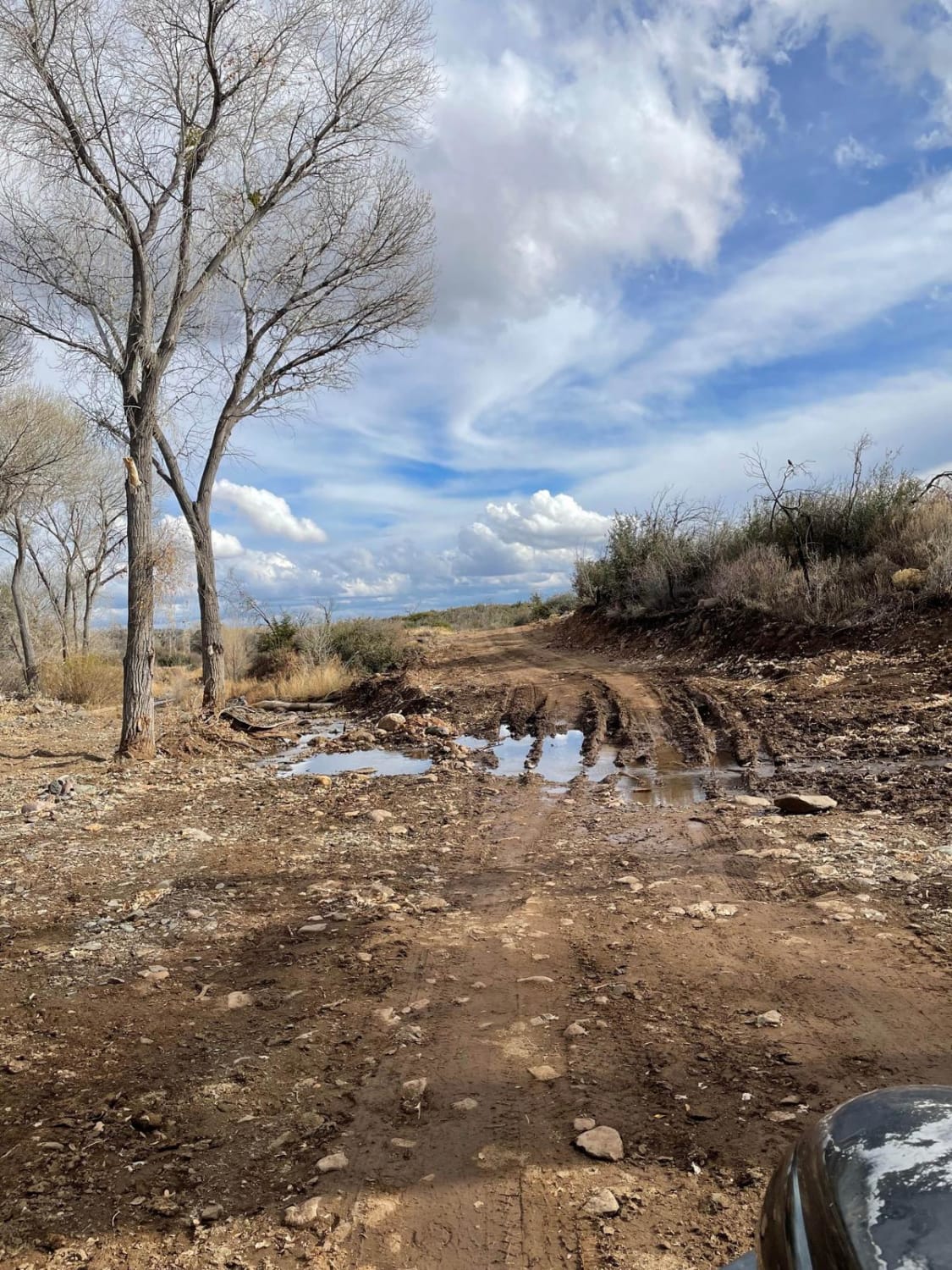
Expect a shallow muddy water crossing.
Status Reports
9211A to Buckhorn Trail can be accessed by the following ride types:
- High-Clearance 4x4
- SUV
- SxS (60")
- ATV (50")
- Dirt Bike
9211A to Buckhorn Trail Map
Popular Trails

Pueblo La Plata
Young Pondo Pine Path
The onX Offroad Difference
onX Offroad combines trail photos, descriptions, difficulty ratings, width restrictions, seasonality, and more in a user-friendly interface. Available on all devices, with offline access and full compatibility with CarPlay and Android Auto. Discover what you’re missing today!