28001
Total Miles
2.1
Technical Rating
Best Time
Spring, Fall, Summer, Winter
Trail Type
Full-Width Road
Accessible By
Trail Overview
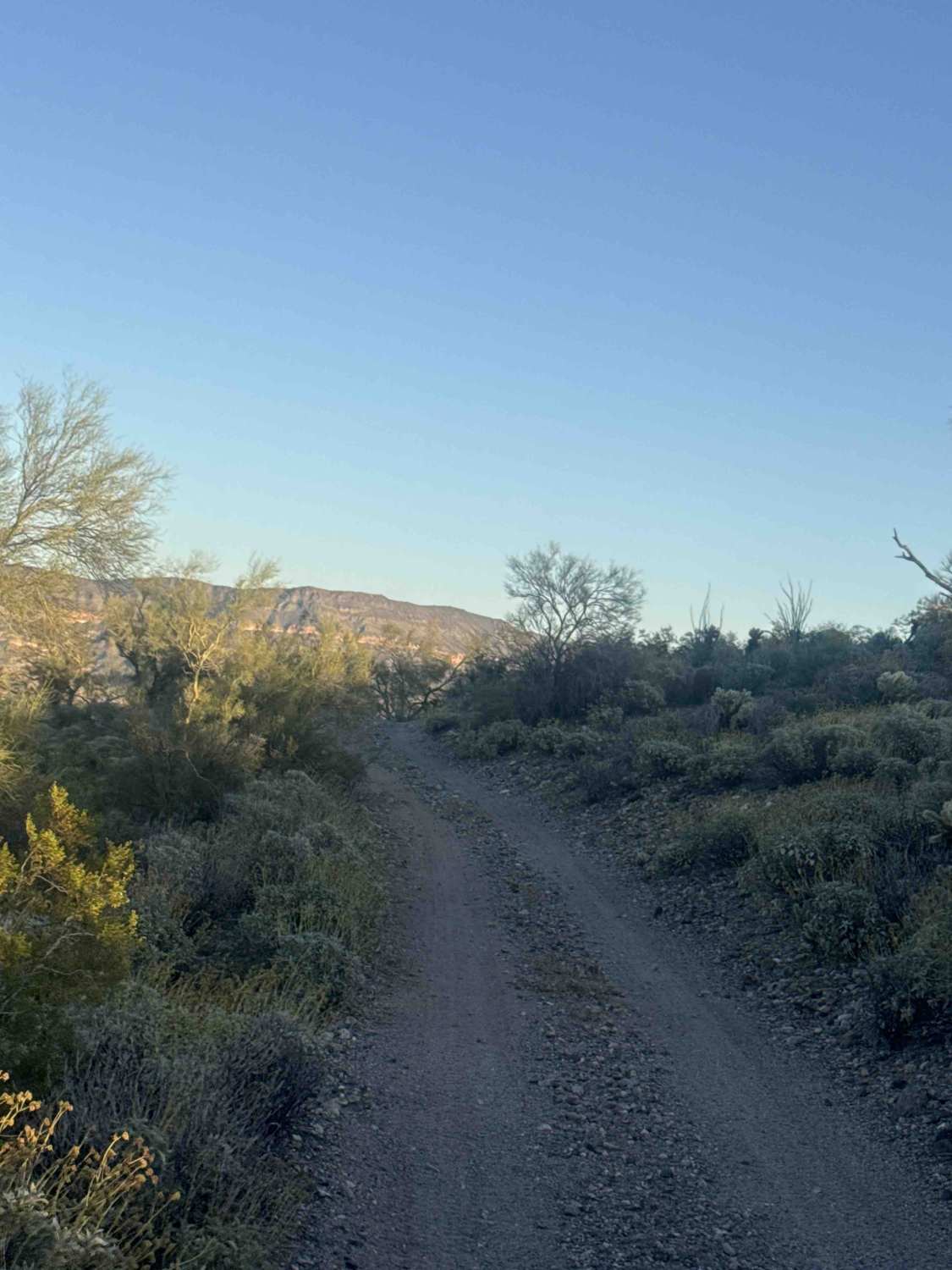
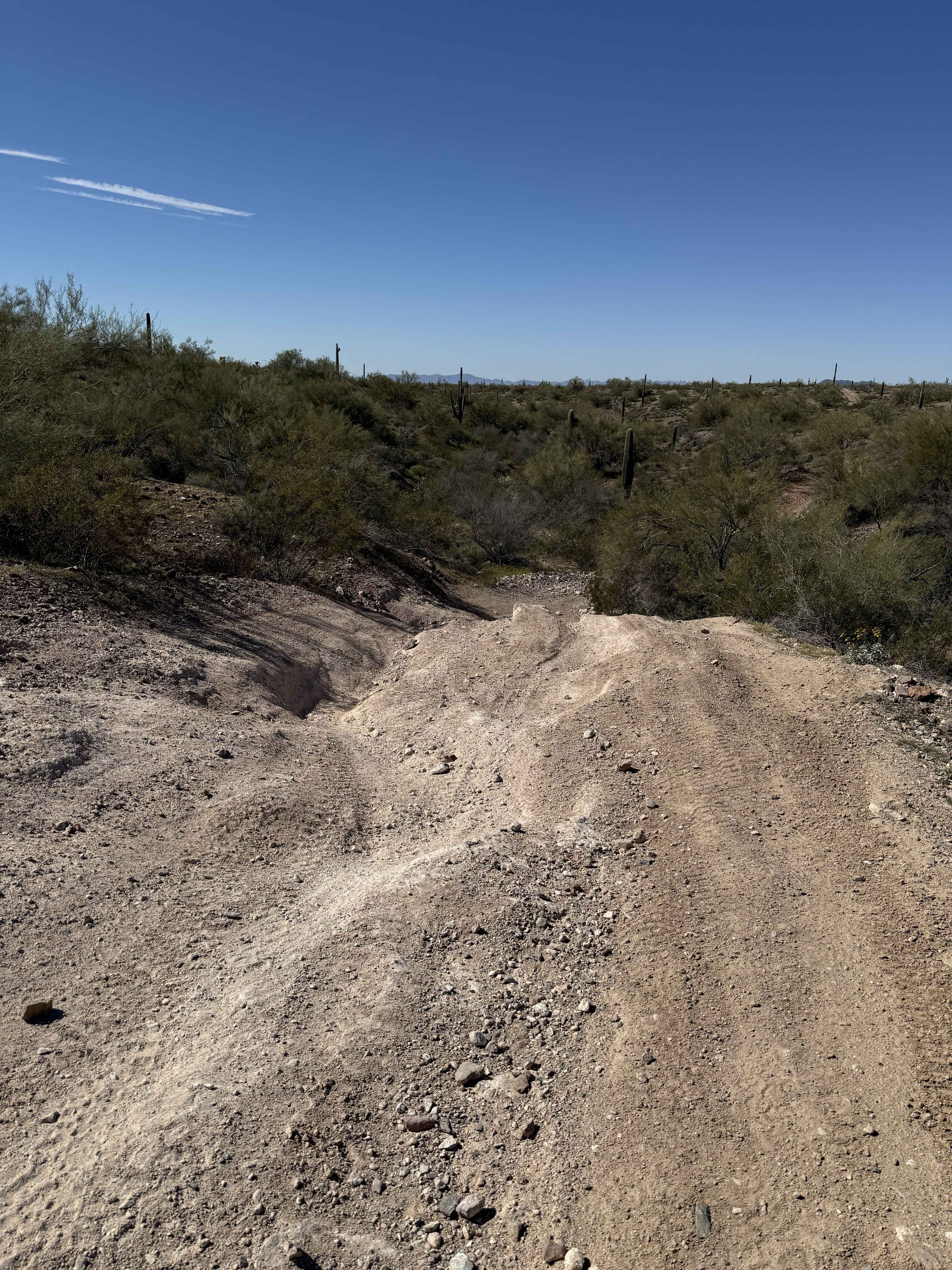
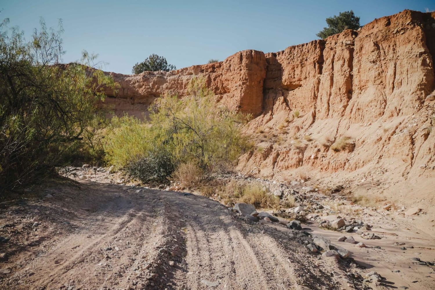
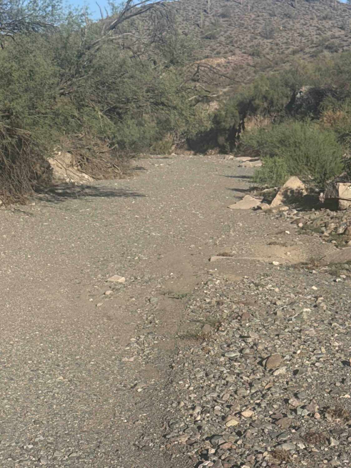
Trail 28001 is a point-to-point trail that begins at the end of Cow Creek Ridge and connects directly to Trail 28002. The route is primarily a bumpy gravel road with desert vegetation lining the trail, including cholla, ocotillo, scattered saguaro, and palo verde trees. About 1 mile in, you'll reach the main obstacle: a steep drop-off with three possible lines, each offering a different level of difficulty. Far left line: least technical with the most suspension flex. Center and right lines: progressively more challenging with a complete drop off the edge. Choose your line carefully--what goes down must come back up, as this is the only way out. After the obstacle, the trail continues briefly before dead-ending into the middle of Trail 28002. Expect excellent views of the surrounding mountains, especially beautiful sunset views along the route. The beginning of the trail is on Arizona State Trust Land, so a permit is required. The trail may become impassable in wet weather.
Photos of 28001

Difficulty
This trail is primarily a gravel road that can be driven in two-wheel drive or four-wheel drive, though several ruts and washouts are present. A technical obstacle up to two feet may require four-wheel drive for better control. Off-camber sections and uneven terrain add moderate difficulty in certain areas.
Status Reports
28001 can be accessed by the following ride types:
- High-Clearance 4x4
- SUV
- SxS (60")
- ATV (50")
- Dirt Bike
28001 Map
Popular Trails
Journey to Trilby Wash
Cottonwood Loop #509
Russell Tank Road
The onX Offroad Difference
onX Offroad combines trail photos, descriptions, difficulty ratings, width restrictions, seasonality, and more in a user-friendly interface. Available on all devices, with offline access and full compatibility with CarPlay and Android Auto. Discover what you’re missing today!