1071K Last Chance Lookout
Total Miles
3.2
Technical Rating
Best Time
Fall, Spring
Trail Type
60" Trail
Accessible By
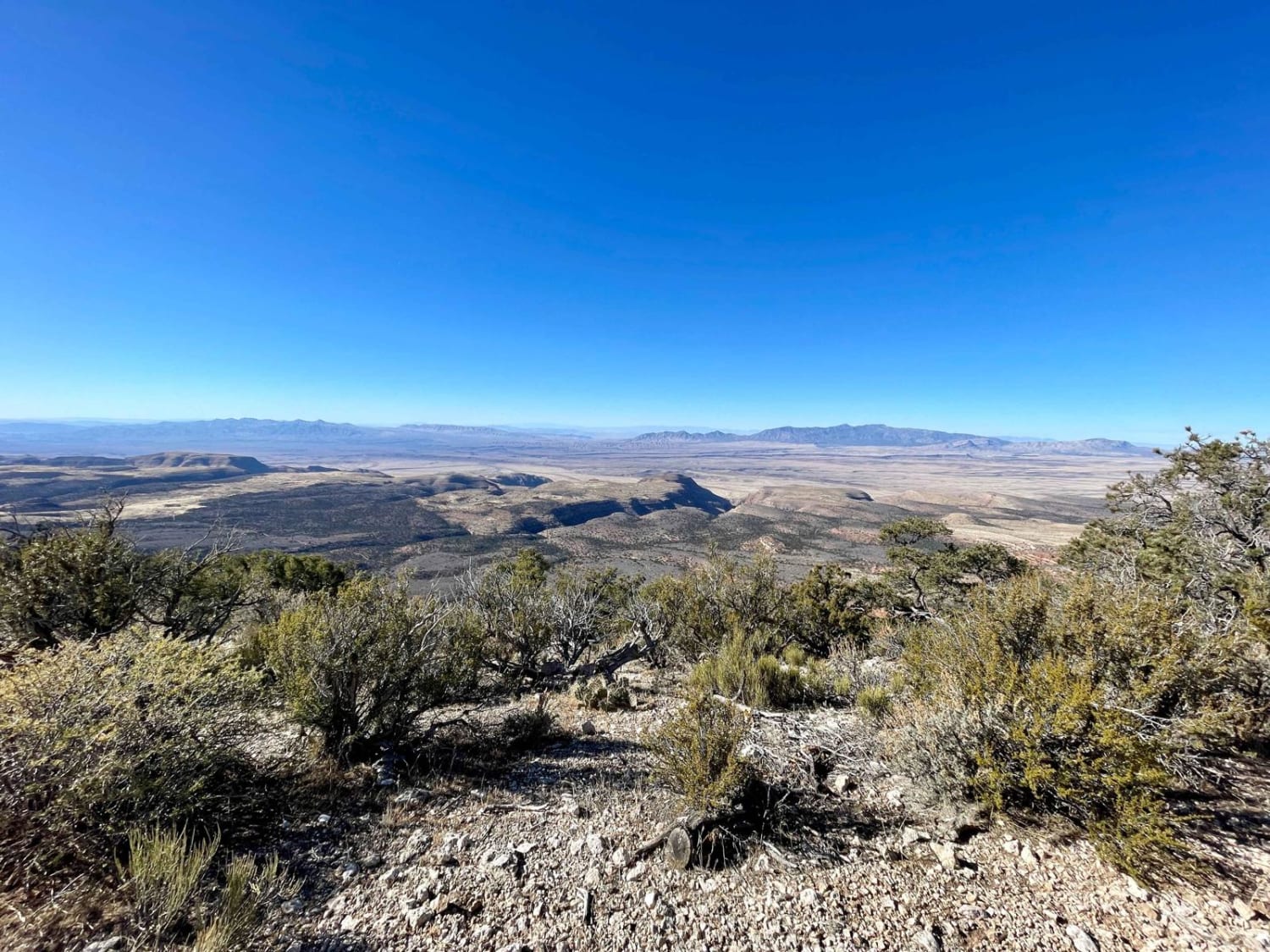
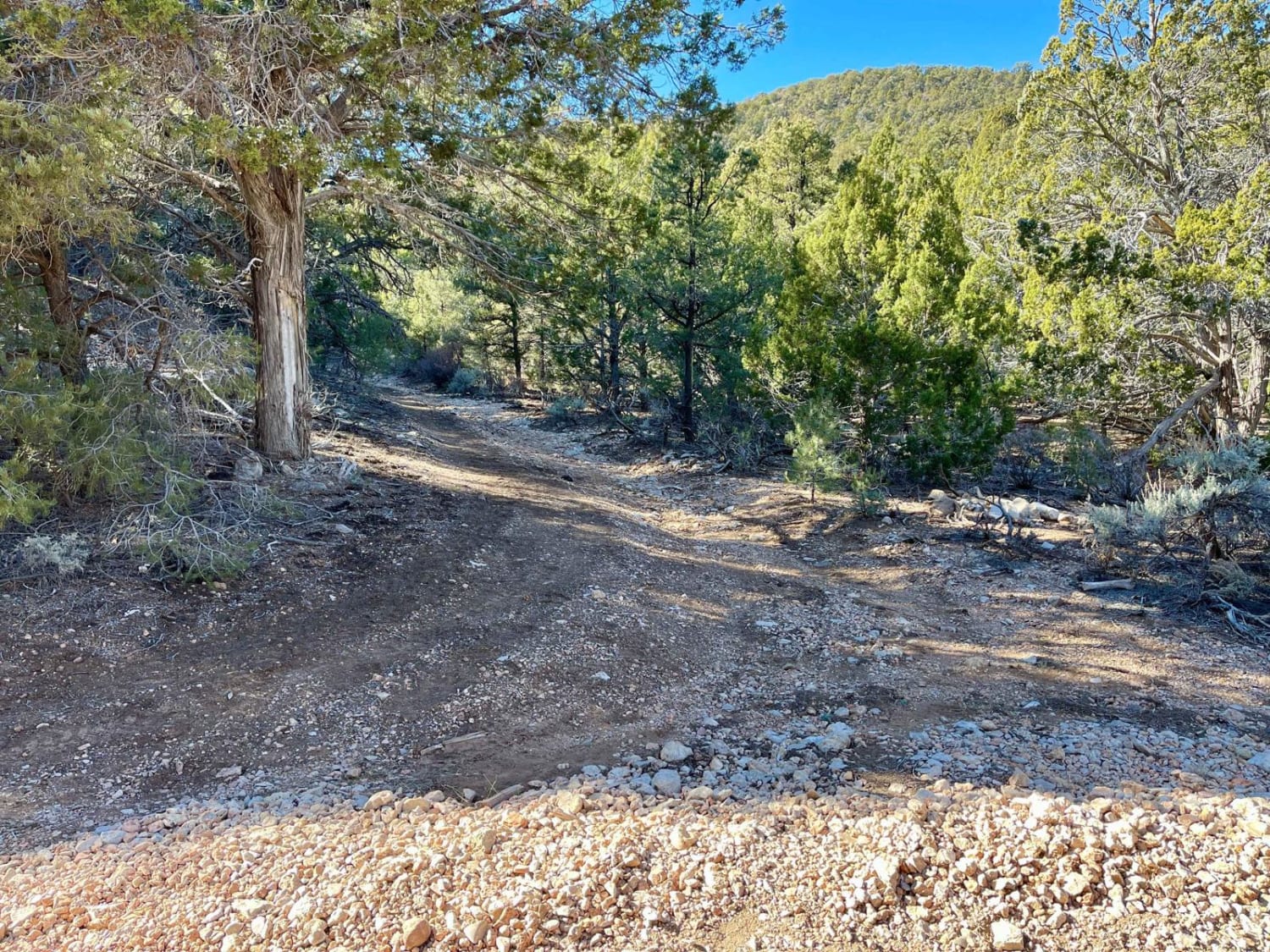
Trail Overview
This trail is a challenging, narrow, and long slog to the top. It begins in the pines and oaks as a spur of the Great Last Chance Canyon lookout. The first section of the trail is loose rock and washed-out, deep, off-camber ruts that crisscross the trail. Sharp plants have worked around the branch deflectors and into the gloves. The trees are so low there are sections you cannot even stand on a moto to get past them. But the challenge is worth the reward. As you emerge from the dense, narrow tree section, you are greeted by an epic view of Grand Wash Cliffs Wilderness and beyond. There are even a few bars of Verizon LTE when you emerge, making it a great time to catch up with relatives or download higher-detail offline maps. From here, the trail cuts north along the edge of the cliffside. Don't think the fun is over yet, though. Long, loose, rocky hill climbs are ahead as the trail weaves along the cliffside and drops down the other side. It's still very narrow until you arrive at the previously burned section. Here, the trail opens up, as does the view with outstanding vistas to the east and into the Grand Canyon Perchant Wilderness. The trail ends at a well-hidden wildlife water collection structure and a decent flat spot where one could camp if so inclined. There is no cell service on this side. So, if you need to make a call, you'd better work your way back to the western-facing cliffs. This area is very remote, and help is a long way away. Be sure to bring a satellite communication device and be sure somebody knows your travel plans. There is no cell service out here, so plan and download your offline maps and bring plenty of water. It is a desert, after all.
Photos of 1071K Last Chance Lookout
Difficulty
It is a very narrow trail with low-hanging branches, off-camber ruts, and obstacles with long, loose, rocky hill climbs.
History
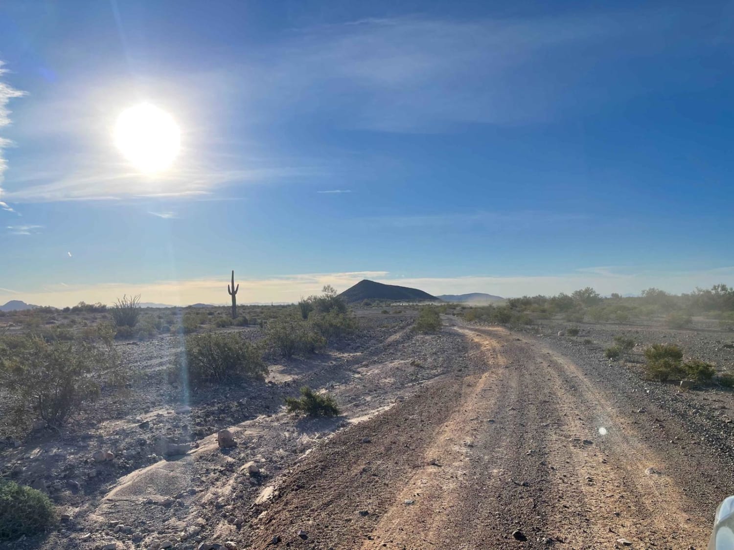
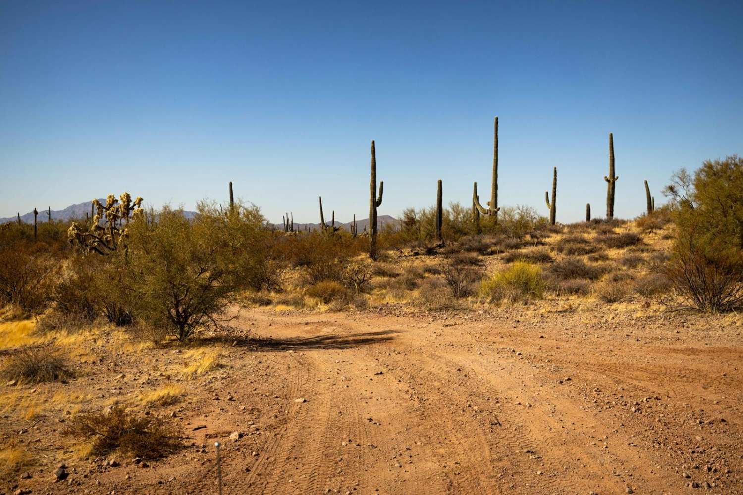
The Arizona Strip is a vast arid region on the north side of the Grand Canyon that encompasses a variety of landscapes and climates within its nearly 3 million acres, as well as centuries of human history. It is 200 miles long and accessed only by two major highways on either end. Because of its lack of easy access, the Strip remains one of the most remote and least-visited parts of the state.
Status Reports
1071K Last Chance Lookout can be accessed by the following ride types:
- SxS (60")
- ATV (50")
- Dirt Bike
1071K Last Chance Lookout Map
Popular Trails
AZ Peace Trail The Solar Field to Red Raven
Monastery Fenceline

Hang Onto Your Hat Ridgetop Spur

9057 with a Mine
The onX Offroad Difference
onX Offroad combines trail photos, descriptions, difficulty ratings, width restrictions, seasonality, and more in a user-friendly interface. Available on all devices, with offline access and full compatibility with CarPlay and Android Auto. Discover what you’re missing today!