Denali Border
Total Miles
3.5
Technical Rating
Best Time
Summer
Trail Type
Full-Width Road
Accessible By
Trail Overview
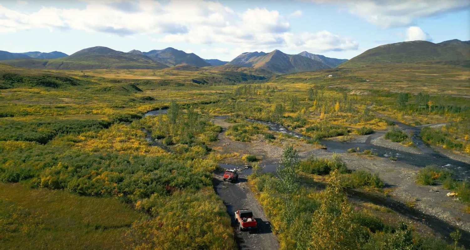
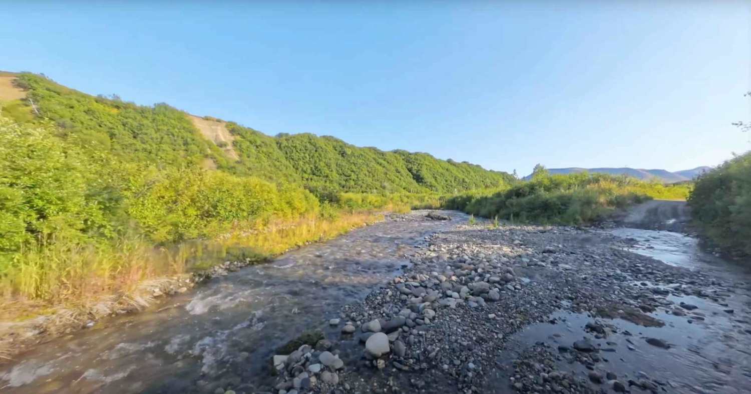
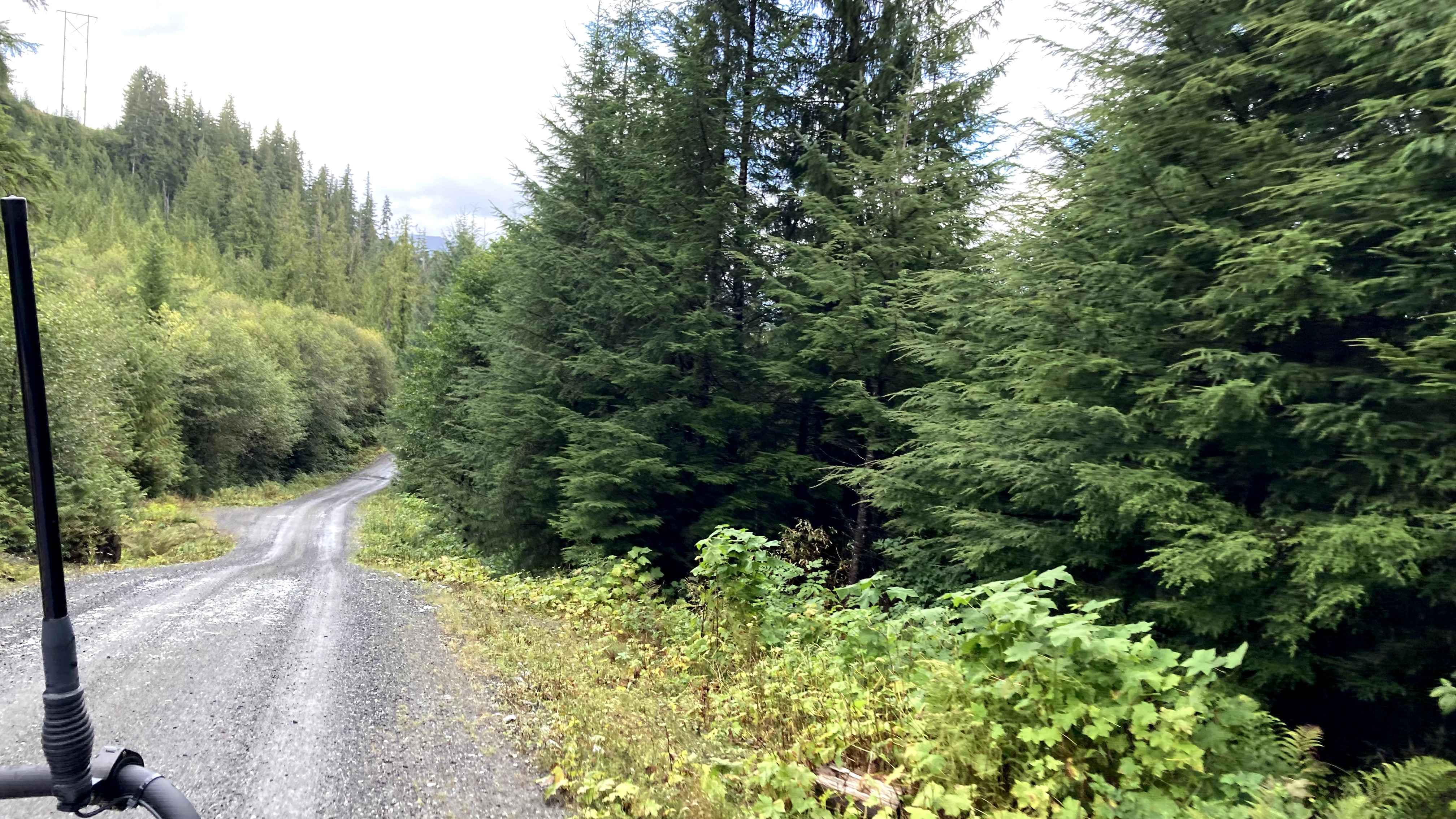
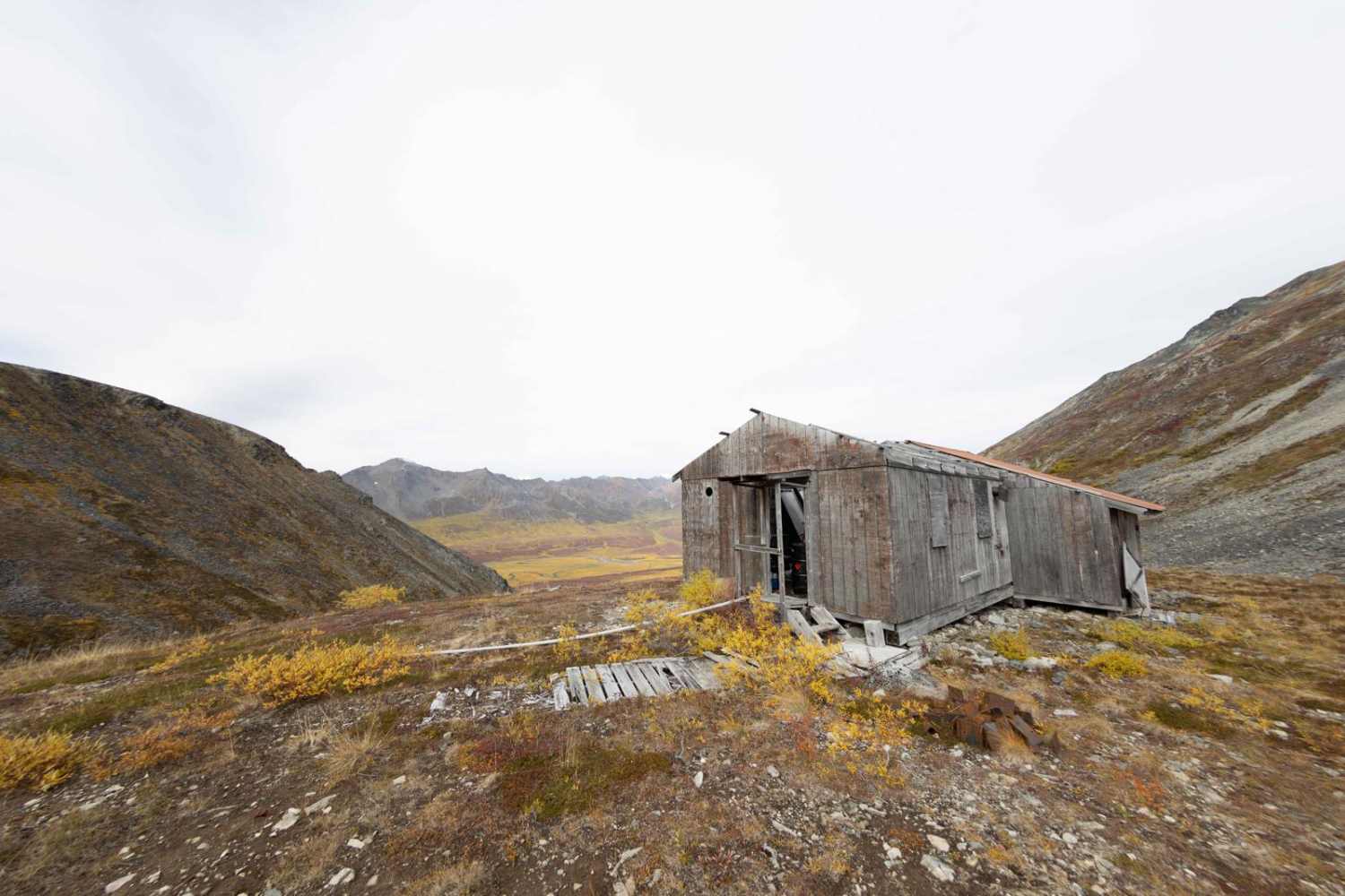
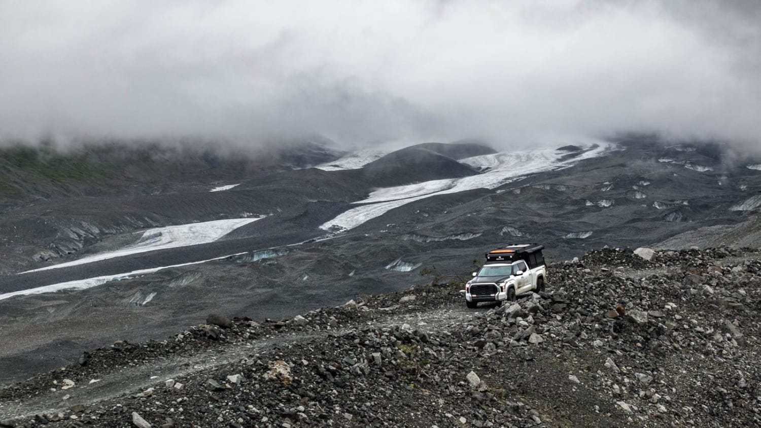
The Denali border trail is a spur off of the Petersville Road trail that leads you to the border of Denali State Park. The trail starts off on the valley floor before following an ever-changing creek bed. The last mile of the trail is an almost vertical climb as you leave the valley floor and head for higher elevation and the tundra/alpine leaves you with breathtaking views in every direction.
Photos of Denali Border
Difficulty
The trail criss crosses several streams and ends with a steep incline with a lot of rough edges and rocks to maneuver around.
Status Reports
Denali Border can be accessed by the following ride types:
- High-Clearance 4x4
- SUV
- SxS (60")
- ATV (50")
- Dirt Bike
Denali Border Map
Popular Trails

Snake Ridge 40006
The onX Offroad Difference
onX Offroad combines trail photos, descriptions, difficulty ratings, width restrictions, seasonality, and more in a user-friendly interface. Available on all devices, with offline access and full compatibility with CarPlay and Android Auto. Discover what you’re missing today!