Upper Ridge Trail
Total Miles
3.5
Technical Rating
Best Time
Fall, Spring
Trail Type
Full-Width Road
Accessible By
Trail Overview
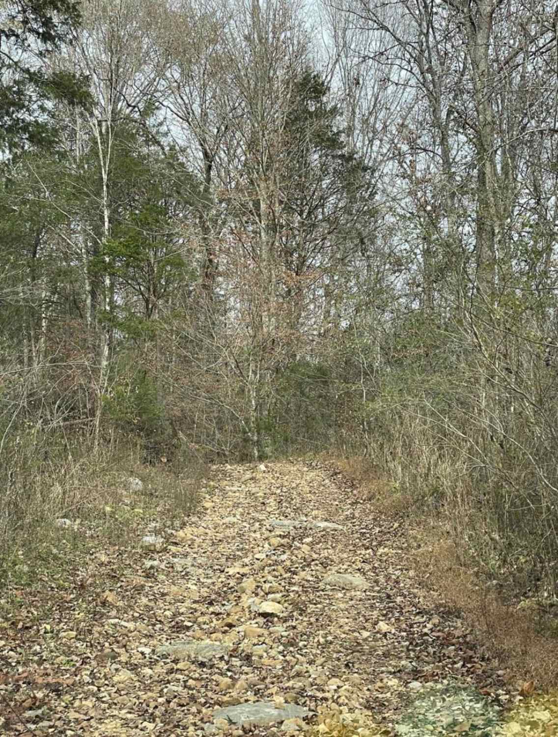
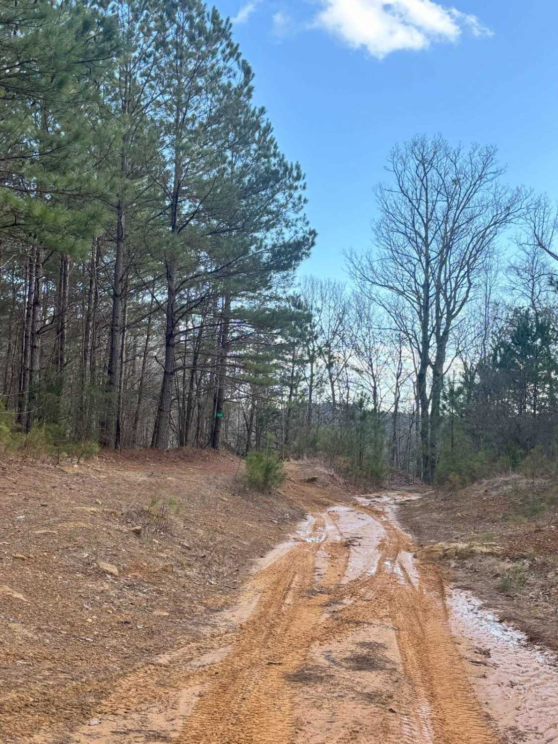
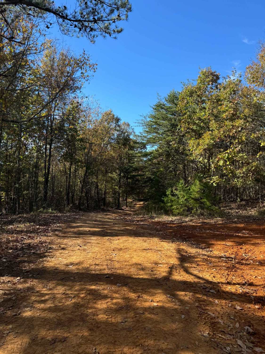
This trail is smoother than the surrounding trails it connects to. Once you come off the Evans Ridge Trail, you can turn left and continue onto many other trails. If you take a left, you can also exit the area and reach the main road. Continuing left onto the Upper Ridge Trail, you'll encounter a variety of terrain types. It begins with a smooth, sandy surface. If it has rained, there may be some ruts from runoff, but nothing too significant. About halfway through, the surface transitions into more of a dirt road, with occasional washed-out sections. These areas are still passable, even with standing water. In the final third of the trail, the surface becomes a rocky dirt path as it leads back into the mountainous area. You'll come across some small rock patches, but they are easy to navigate with the right line. Most of the rocks are no larger than the size of a basketball. The trail ends at a junction: to the left is the Mountain Bypass Trail, and to the right is Little Coon Road, an unmaintained forest service road. This trail can be managed by most high-clearance 4x4 vehicles with little difficulty.
Photos of Upper Ridge Trail
Difficulty
This difficult rating was given based on the multiple types of terrain. If the area has gotten rain then it can be a bit slick but manageable.
Status Reports
Upper Ridge Trail can be accessed by the following ride types:
- High-Clearance 4x4
- SUV
Upper Ridge Trail Map
Popular Trails
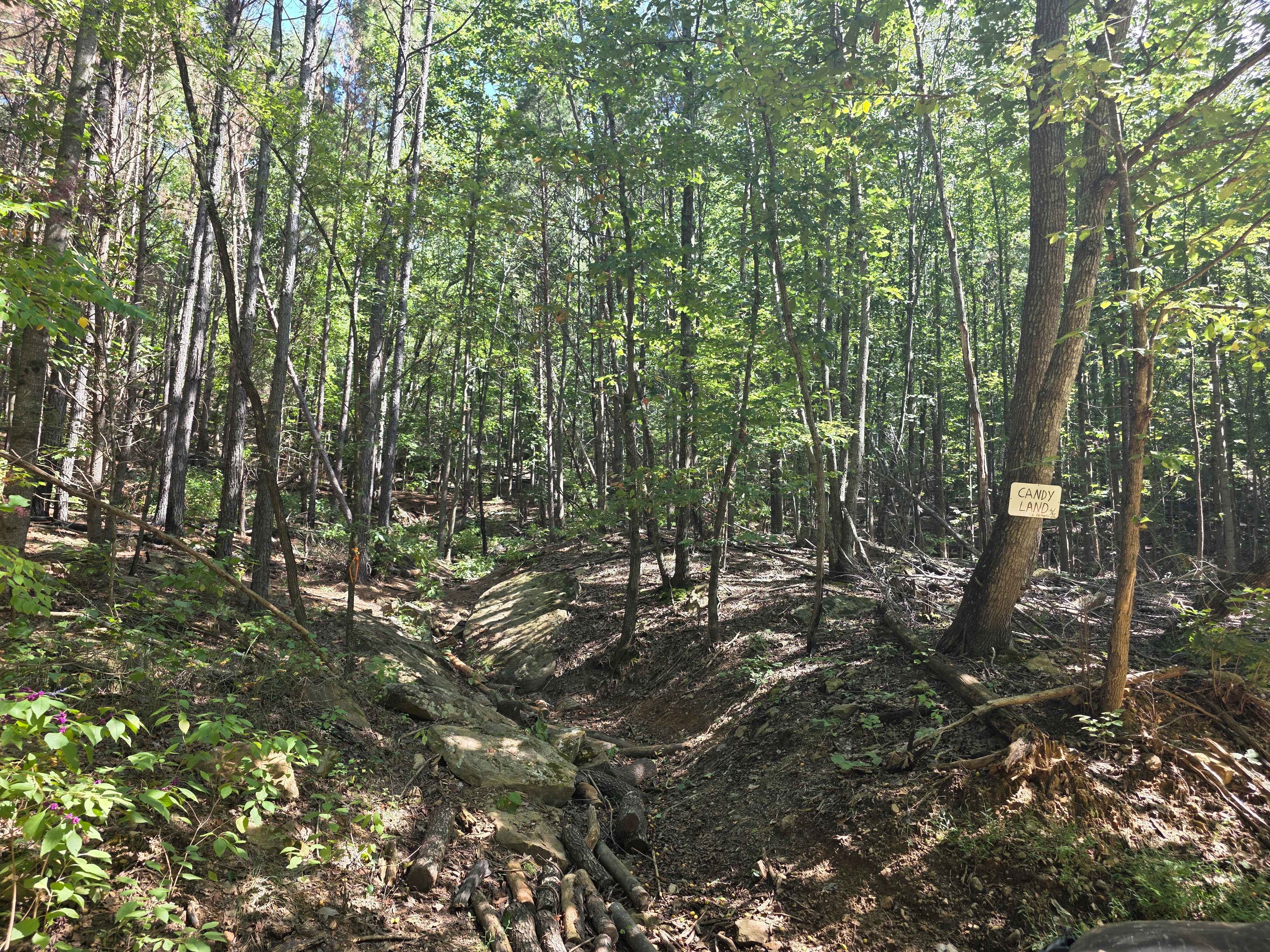
Candy Land
The onX Offroad Difference
onX Offroad combines trail photos, descriptions, difficulty ratings, width restrictions, seasonality, and more in a user-friendly interface. Available on all devices, with offline access and full compatibility with CarPlay and Android Auto. Discover what you’re missing today!

