Treat Mountain / County Road 202
Total Miles
10.2
Technical Rating
Best Time
Spring, Summer, Fall, Winter
Trail Type
Full-Width Road
Accessible By
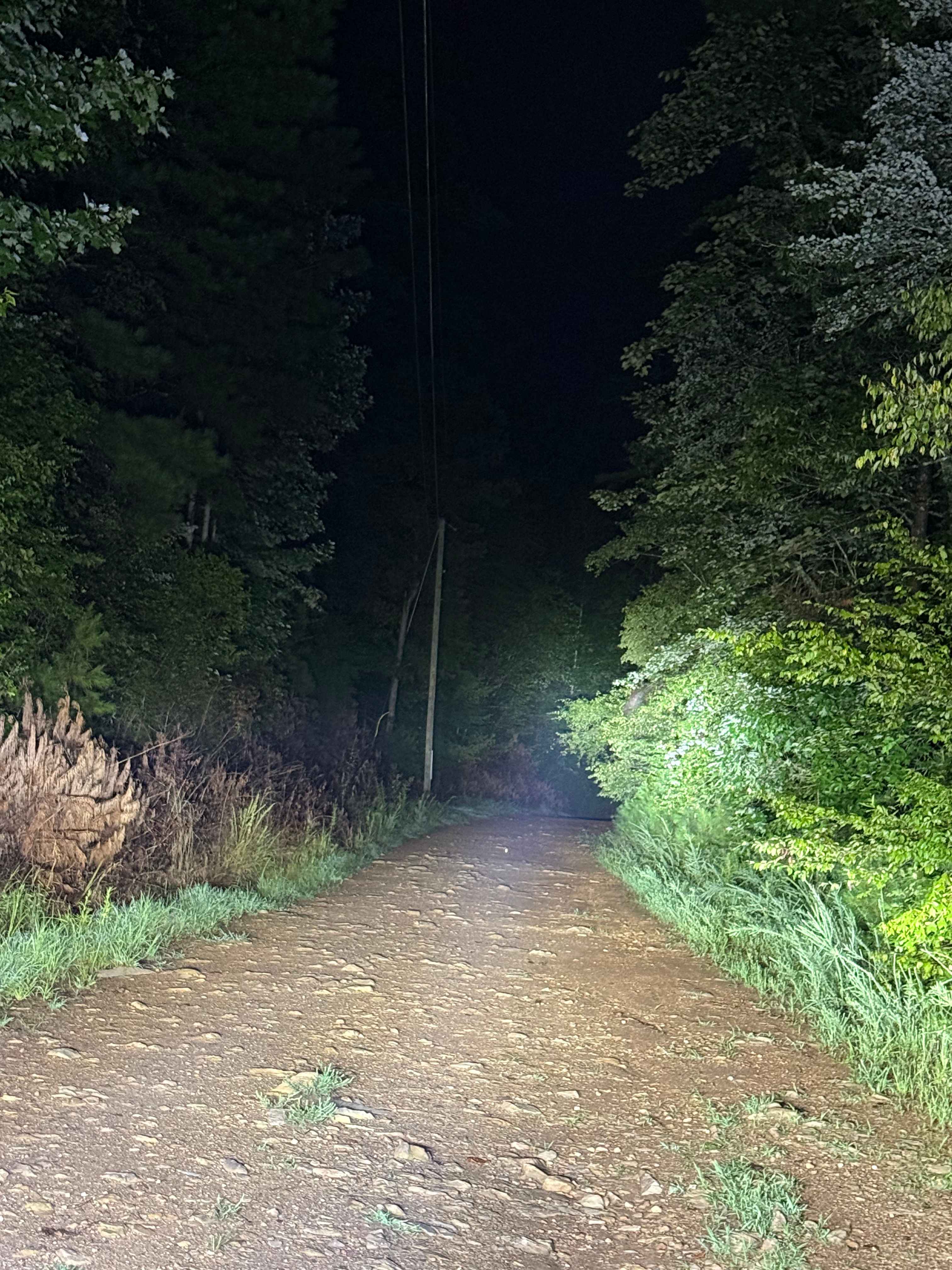
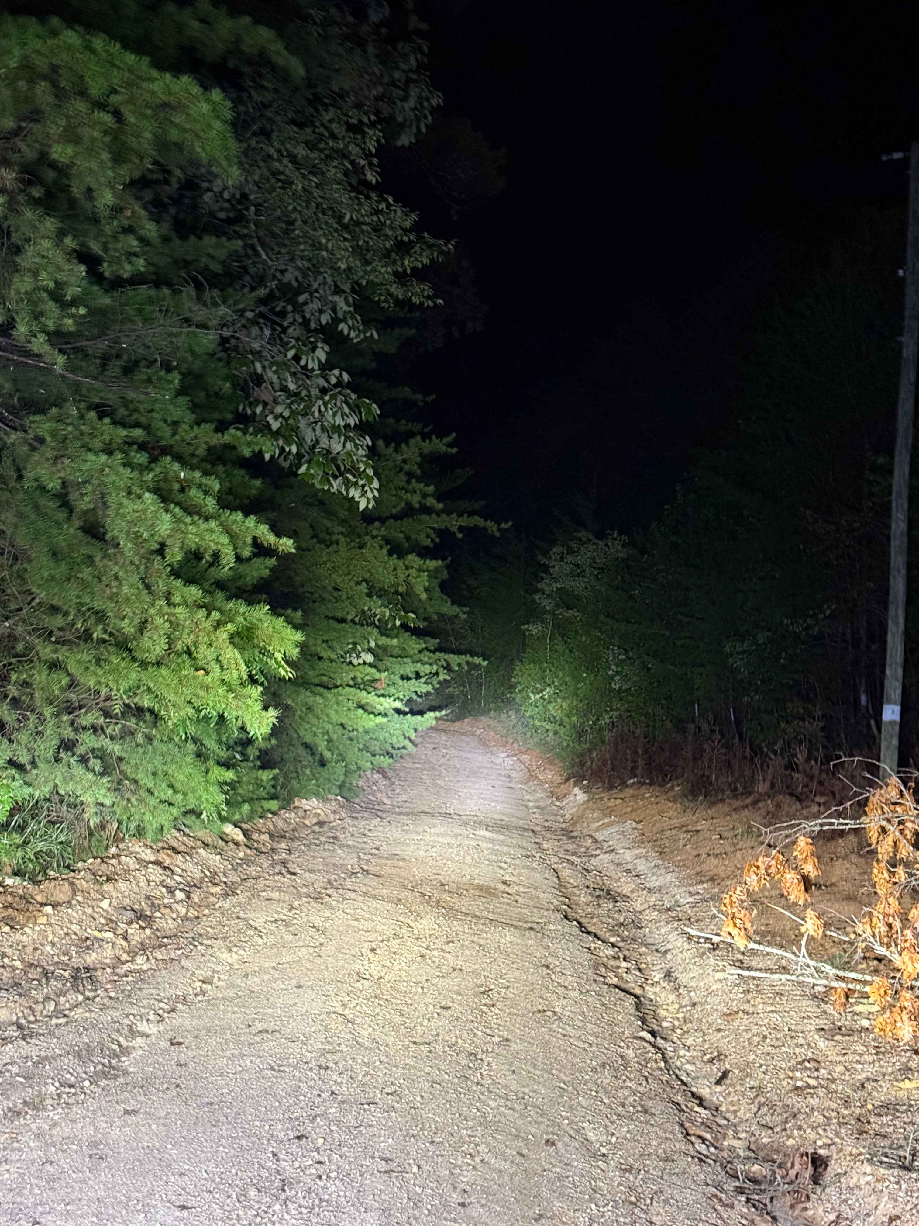
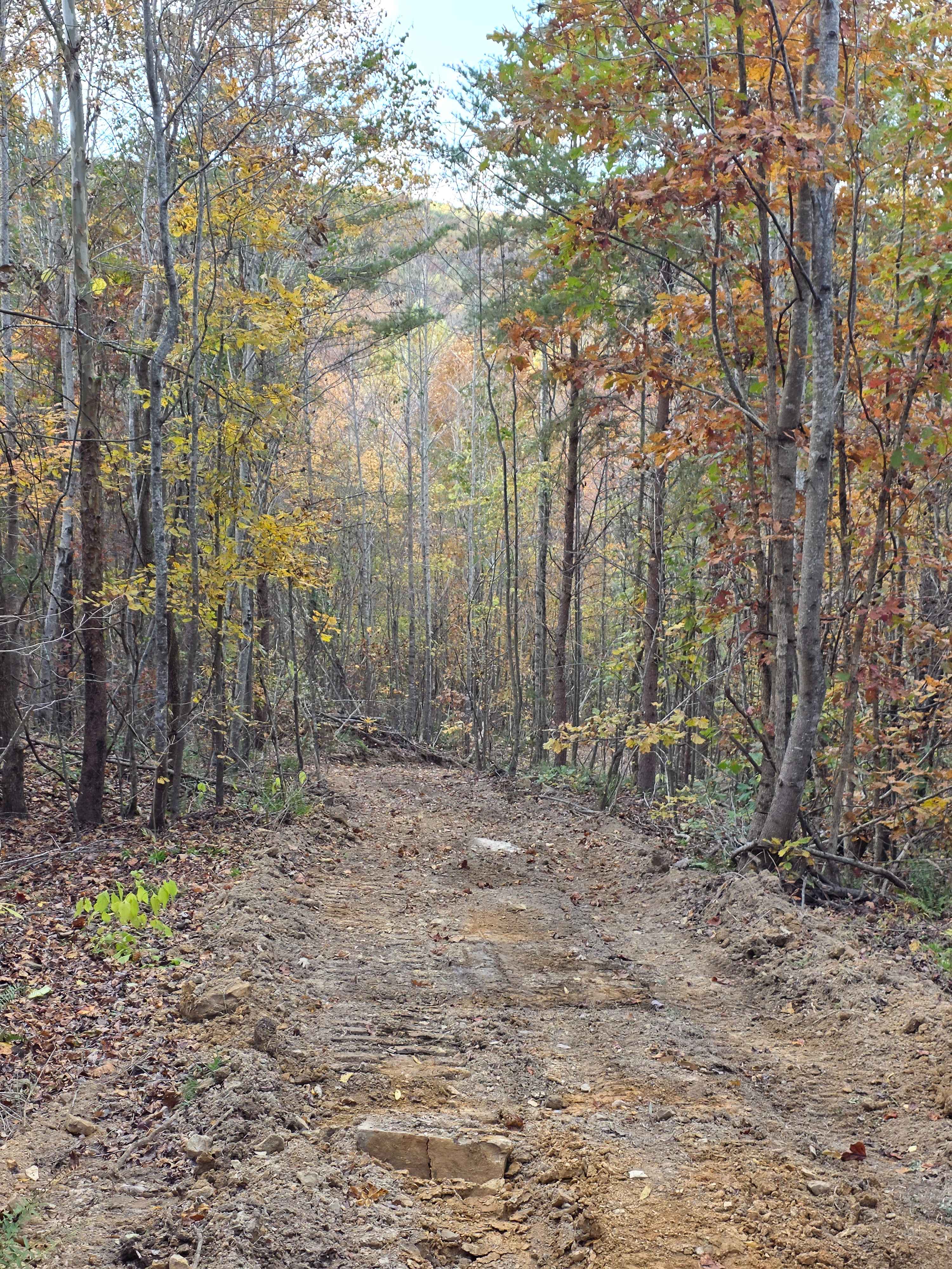
Trail Overview
This old county road starts (or ends) in Alabama, and ends (or starts) in Georgia. This trail has been well known for years by the community, as it is still technically a county road, but it is all dirt and not maintained frequently, as well as having many areas with deep mud holes, and rock obstacles. There is private properties on both sides of this trail for hunting land, etc. So visitors need to be aware of other traffic, and always pack out what you pack in, or more. The trail has a few difficult areas, especially when it hasn't been maintained recently. There are some areas with 1-2 foot ledges, and some mud holes are 3-4 feet deep, even during the dry season. The area known as "The Playground" has a lot of small, steep hills that can be driven up and down with sand as the main ground covering. There is also a very big mud hole at this location.
Photos of Treat Mountain / County Road 202
Difficulty
Mud holes up to three feet deep, some rutted out areas up to two feet. There are a couple of one to two-foot rock ledges to cross and short grades both up and down. This is an uneven trail with sand and loose rocks.
Status Reports
Treat Mountain / County Road 202 can be accessed by the following ride types:
- High-Clearance 4x4
- SUV
Treat Mountain / County Road 202 Map
Popular Trails
Hardwood Hollow Bypass
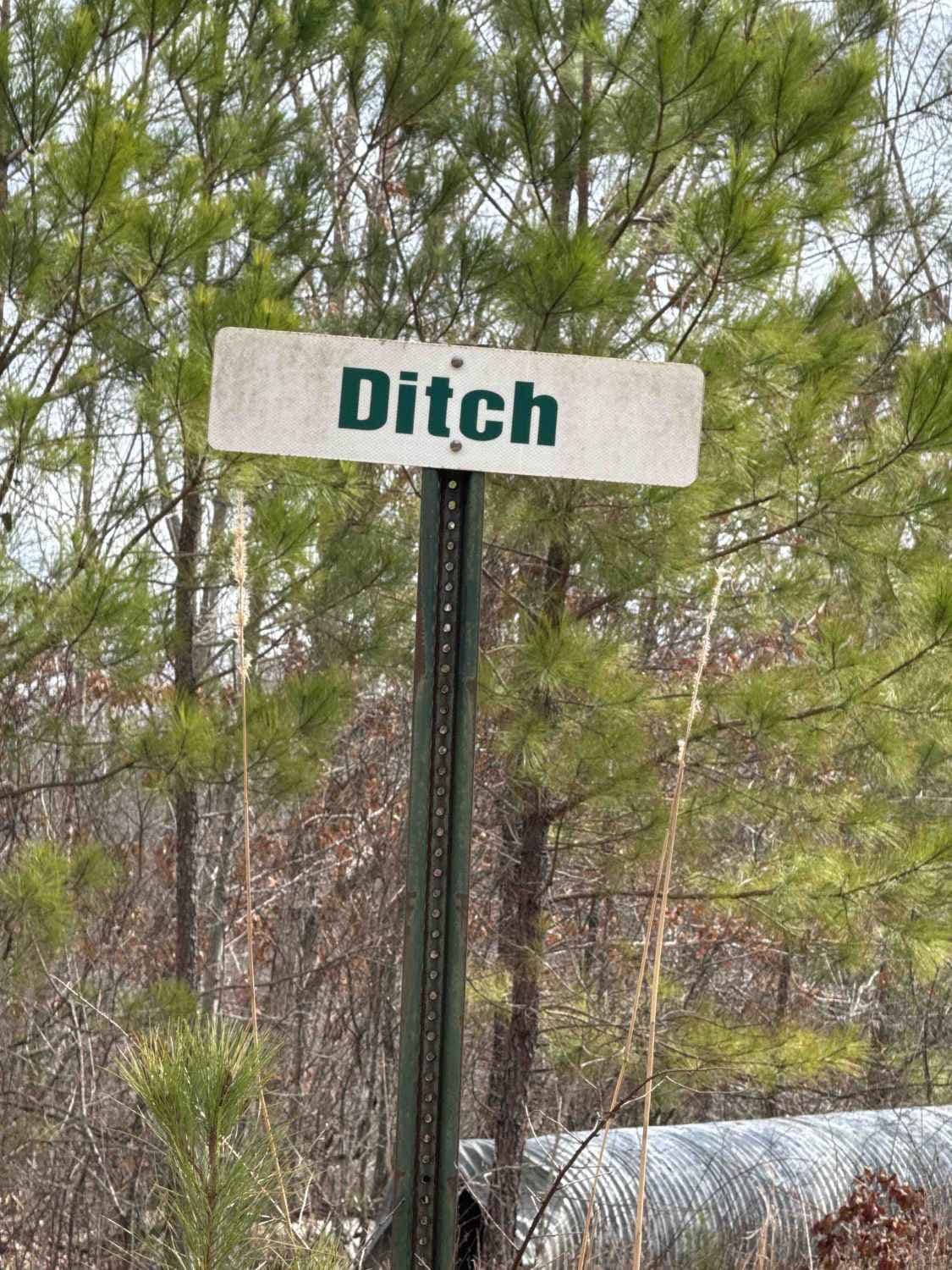
#73a Lower Ditch


Maud Road - FS 423
The onX Offroad Difference
onX Offroad combines trail photos, descriptions, difficulty ratings, width restrictions, seasonality, and more in a user-friendly interface. Available on all devices, with offline access and full compatibility with CarPlay and Android Auto. Discover what you’re missing today!