Mountain Bypass Trail
Total Miles
2.6
Technical Rating
Best Time
Winter, Spring, Summer
Trail Type
Full-Width Road
Accessible By
Trail Overview
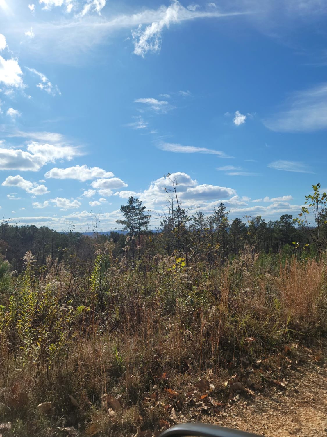
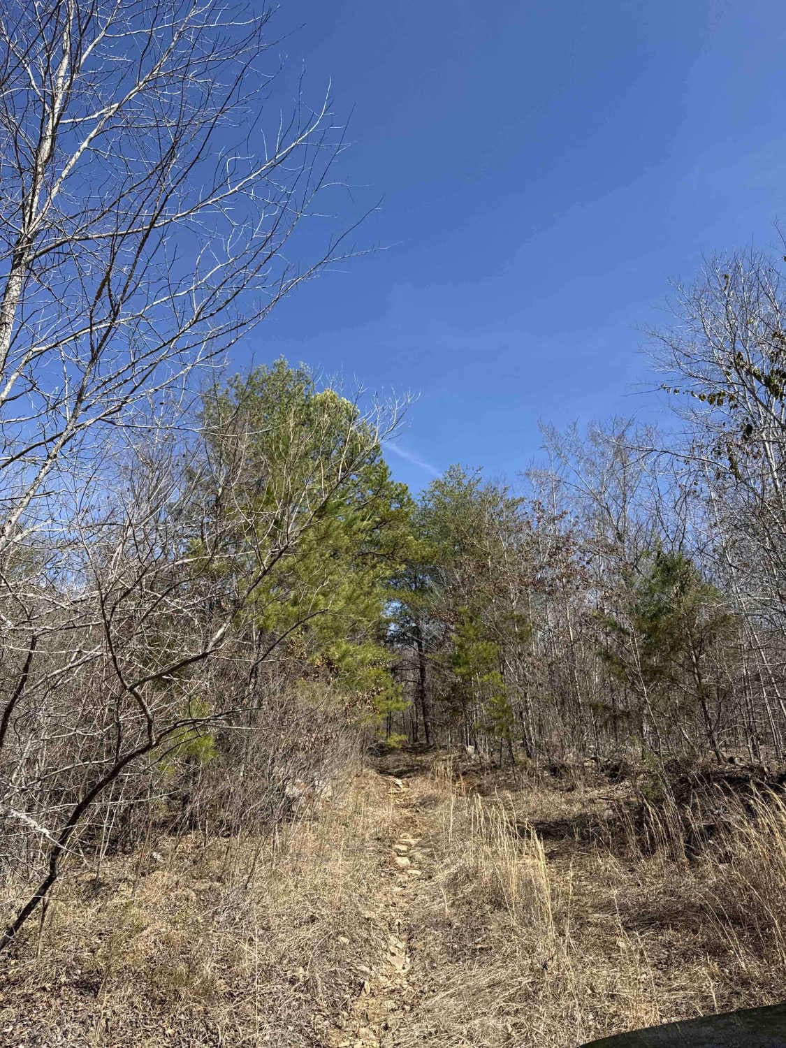
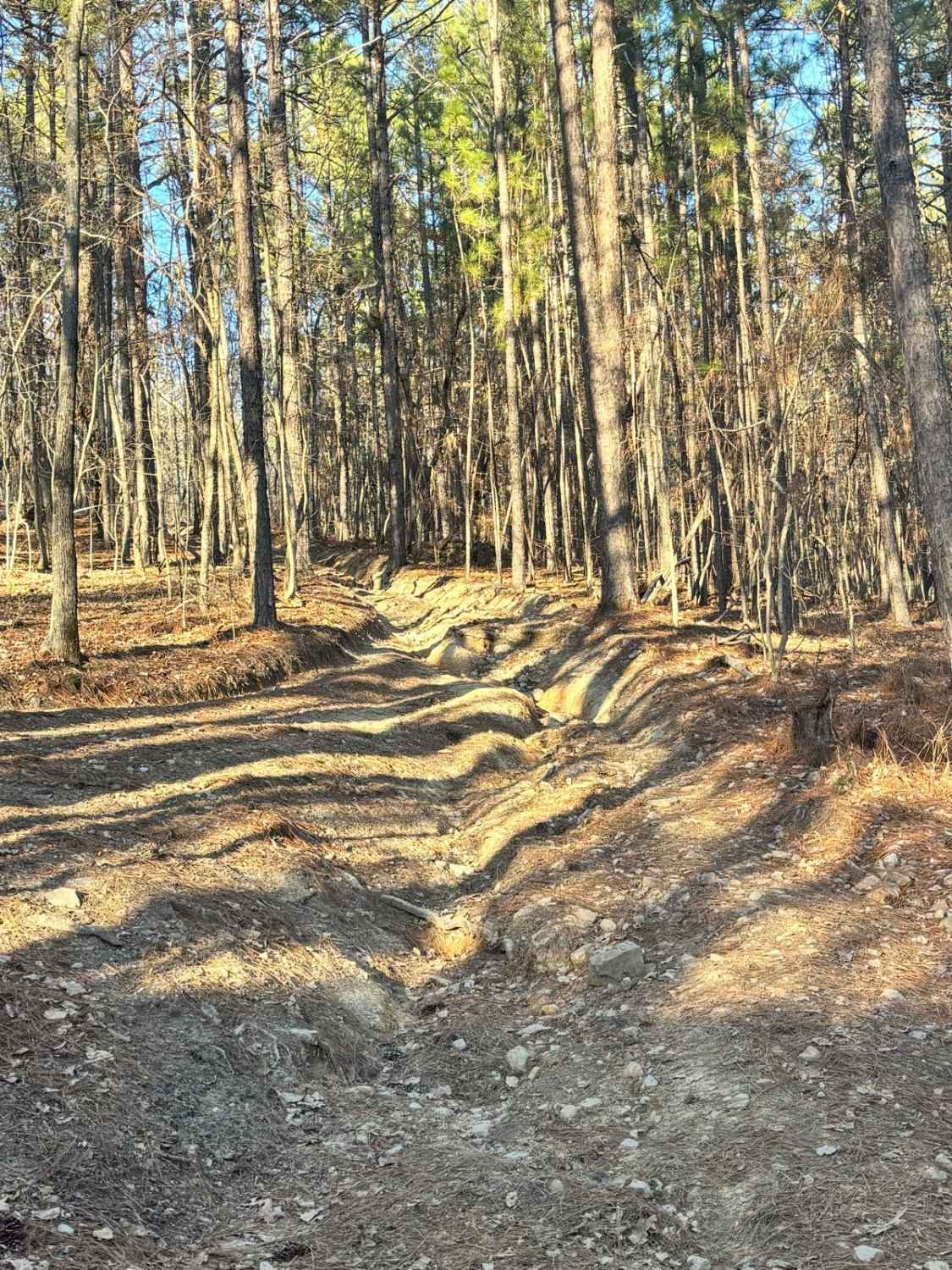
This Trail connects near the end of the Tate's Cove trail to the intersection of Upper Ridge Trail and Little Coon River Trail. This is a bi-directional trail but there are very few places that two vehicles will be able to pass. The trail section closest to Tate's Cove Trail starts out by going through the edge of the field and the woods. The trail opens up to an area where the creek is located. You will see the trail continue into and down the creek, it is recommended to stay to the east side of the creek where it is swallower. Once in the creek, you will continue around the bend to the right and come back up onto the rock bed where you will then cross the creek and head up the mountain. Once out of the creek, there will be a few areas that have a steep elevation change and S pattern up the trail with some large rocks making tire placement a priority. Once past this area, the main parts of the trail will be depending on weather conditions. There will be areas where water will be standing before a few steep hills that can make the climb up difficult with the red clay. Near the intersection of little coon road, about a 1/4 mile from the end, the trail has a few tight spaces and deep ruts as you climb or descend.
Photos of Mountain Bypass Trail


Difficulty
The trail received a 5 rating based on a stock Jeep Wrangler, so adjust based on your vehicle type. The trail has a creek crossing that can get up to 2 1/2 feet deep, depending on the season. There are areas where there will be large rocks and steep elevation changes that may require locks to more easily traverse the trail. There are a few tight spots and steep, muddy inclines.
Status Reports
Mountain Bypass Trail can be accessed by the following ride types:
- High-Clearance 4x4
- SUV
Mountain Bypass Trail Map
Popular Trails
#45 Mall Drive
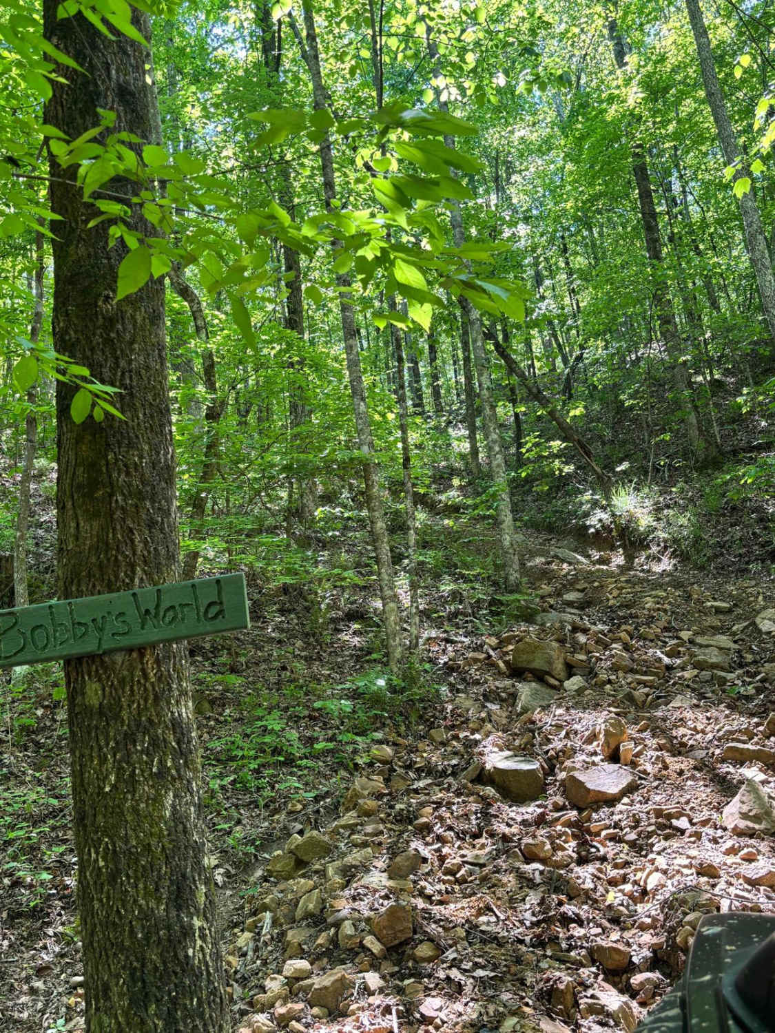
Bobby's World
The onX Offroad Difference
onX Offroad combines trail photos, descriptions, difficulty ratings, width restrictions, seasonality, and more in a user-friendly interface. Available on all devices, with offline access and full compatibility with CarPlay and Android Auto. Discover what you’re missing today!