Coastal Lighthouse Route
Total Kilometers
19.5
Technical Rating
Best Time
Spring, Summer, Winter, Fall
Trail Type
Full-Width Road
Accessible By
Trail Overview
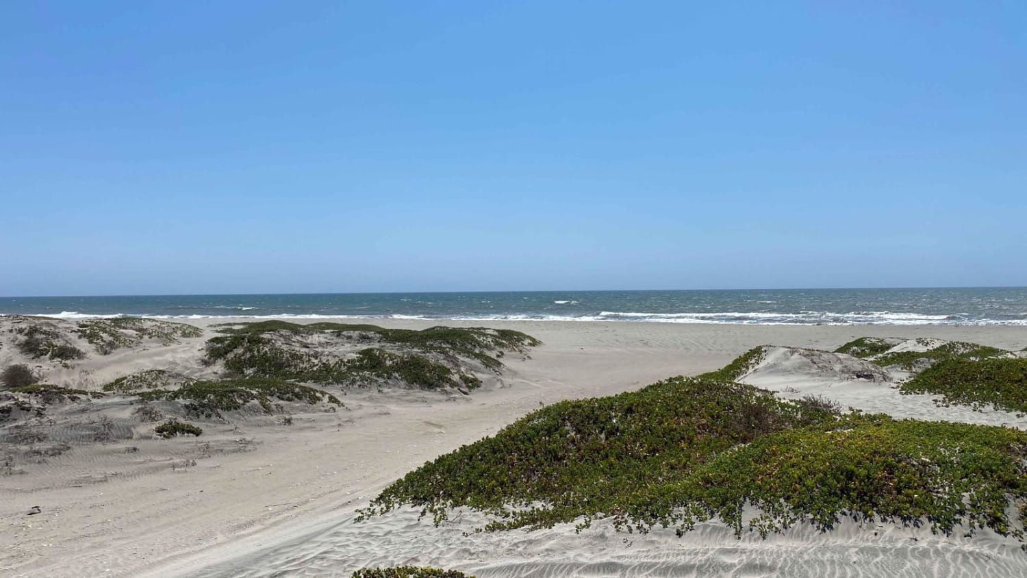
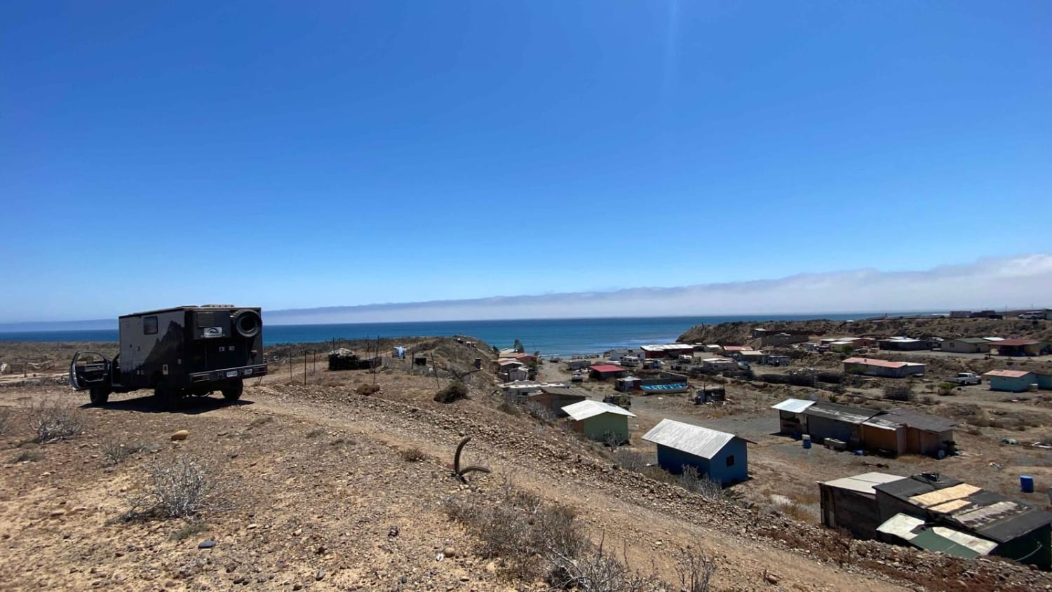
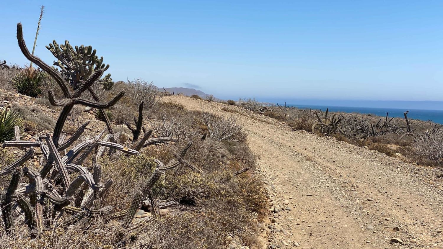
The road ahead is narrow, designed for a single vehicle, and requires an experienced driver with a 2WD and clearance or a 4WD vehicle. Compared to the neighboring routes, this road is more rugged and primitive in nature. As you depart from the Punta San Carlos route, you'll catch your first glimpses of the ocean, and soon enough, you'll find yourself journeying parallel to the crashing waves for a significant portion of the way. Exercise caution when you encounter the first left fork leading off the route to the south, as a section of that beach route is on the map but has been washed out, rendering it impassable. Continuing on, you'll come across Campo Nuevo situated within a wash, and further along, there will be numerous options to explore surf breaks, camping spots, and fishing locations towards the ocean. Similar to other routes in this region, you'll encounter several outposts where locals are engaged in selecting perfectly sized polished rocks for export, primarily used in pool construction in the states. Passing by a couple of ranches, you'll eventually arrive at the Lighthouse situated before the Marina and Punta San Antonio.
Photos of Coastal Lighthouse Route
Difficulty
Easy for any 4WD but there could be some challenging areas for a 2WD with clearance unless the driver is experienced off-road and comfortable pushing the limits. Definitely not recommended in any wet conditions without 4WD. Other than that warning it's a fairly easy route with only a few steep washes to drop in and drive out.
Status Reports
Coastal Lighthouse Route can be accessed by the following ride types:
- High-Clearance 4x4
- SUV
- SxS (60")
- ATV (50")
- Dirt Bike
Coastal Lighthouse Route Map
Popular Trails

Beach Road to the Coastal Route

La Vivora

Valle de los Cirios

Playa San Ramon & Laguna Figueroa
The onX Offroad Difference
onX Offroad combines trail photos, descriptions, difficulty ratings, width restrictions, seasonality, and more in a user-friendly interface. Available on all devices, with offline access and full compatibility with CarPlay and Android Auto. Discover what you’re missing today!

