South Airport Route
Total Kilometers
10.5
Technical Rating
Best Time
Spring, Summer, Fall, Winter
Trail Type
Full-Width Road
Accessible By
Trail Overview
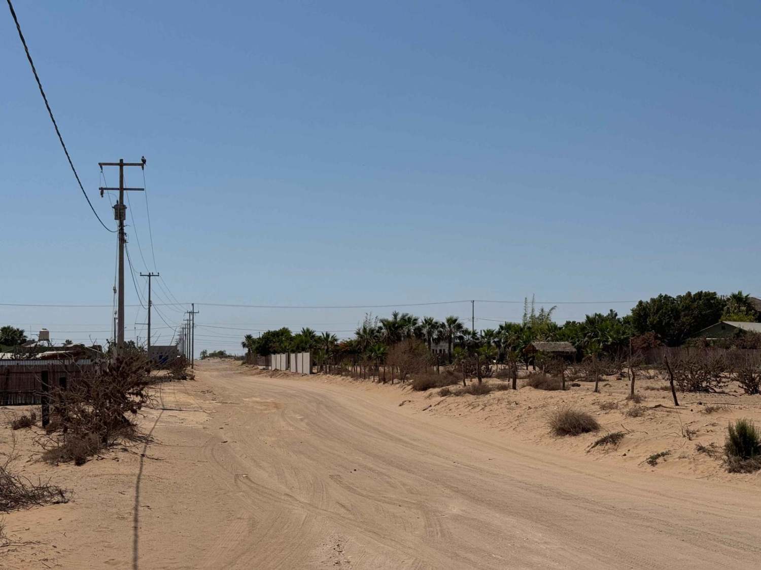
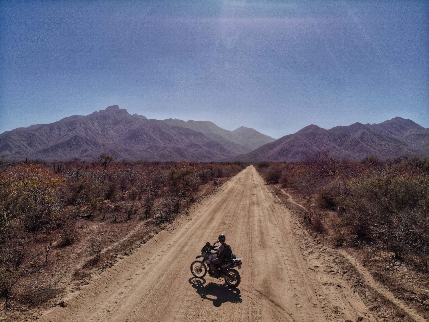
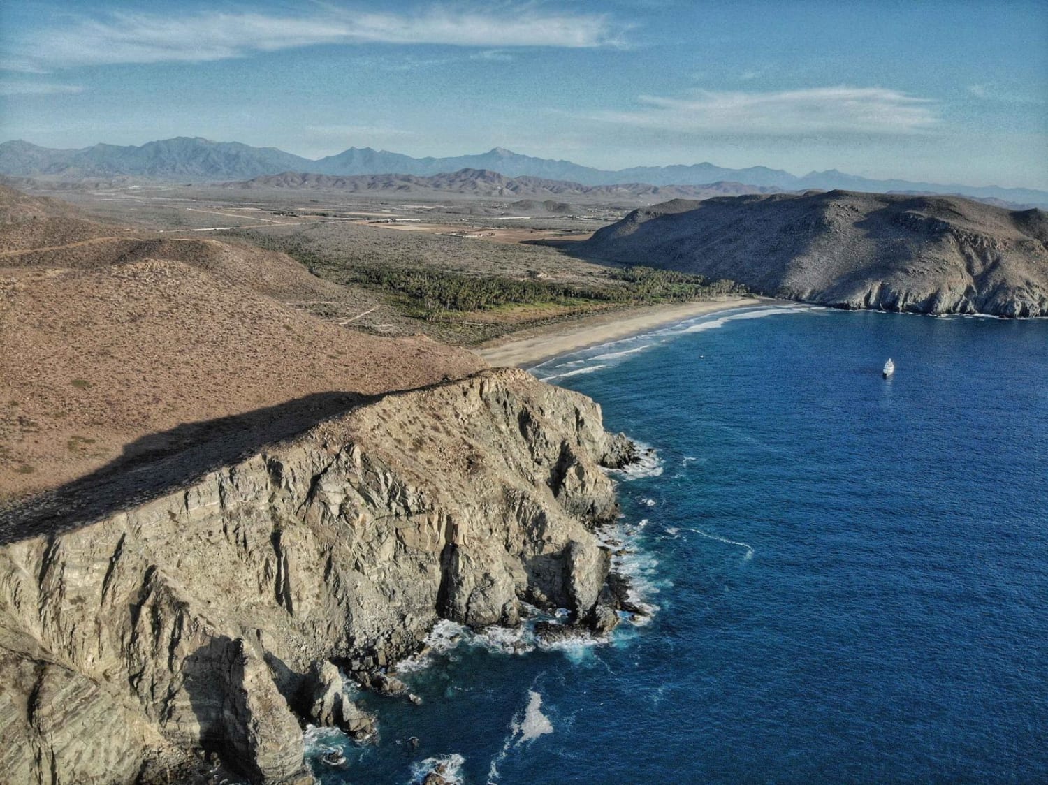
This off-road route begins in the heart of San Juanico and initially parallels the old airport runway as it heads out of town. Over the first mile or two, the trail winds through shallow silt beds and a network of interconnecting tracks that eventually merge into two main paths--one originating south of the airport and the other from the north. By staying left, you'll follow the primary line of this route, which allows for relatively smooth travel during the first half. As the trail progresses, it narrows and begins weaving through tight brush and low trees, cutting in and out of an arroyo that may require slow, careful driving. Once you break free of the dense vegetation, the trail makes a hard turn north. Although not currently mapped, turning left or continuing straight at this point can lead to several remote beach access points and the Estero, but use caution if exploring off the main route--dunes in this area can contain unexpectedly deep sand. After the turn north, the trail pulls away from the coastline and quickly crosses an old dam before transitioning to a rougher surface of baseball-to-softball-sized rocks for the final two miles. The trail ends at a junction with one spur leading back toward the Estero and another that loops around to rejoin San Juanico from the north side of the airport.
Photos of South Airport Route

Difficulty
Under dry conditions, this trail is generally manageable, with most of the route passable in 2WD. However, there are a few short silt bed sections down in the arroyo where you may need to engage 4WD to maintain momentum. After crossing the small dam, there is a more difficult section that definitely requires 4WD due to loose terrain and uneven surfaces. While the majority of the trail is not technical, having 4WD available for these specific areas is important to ensure a safe and successful passage.
Status Reports
South Airport Route can be accessed by the following ride types:
- High-Clearance 4x4
- SUV
- SxS (60")
- ATV (50")
- Dirt Bike
South Airport Route Map
Popular Trails

Puerto Viejo
Los Naranjos

Reforma 2 Coastal
Las Palmas Beach
The onX Offroad Difference
onX Offroad combines trail photos, descriptions, difficulty ratings, width restrictions, seasonality, and more in a user-friendly interface. Available on all devices, with offline access and full compatibility with CarPlay and Android Auto. Discover what you’re missing today!